Plizio Visual Lab
Kamenjak
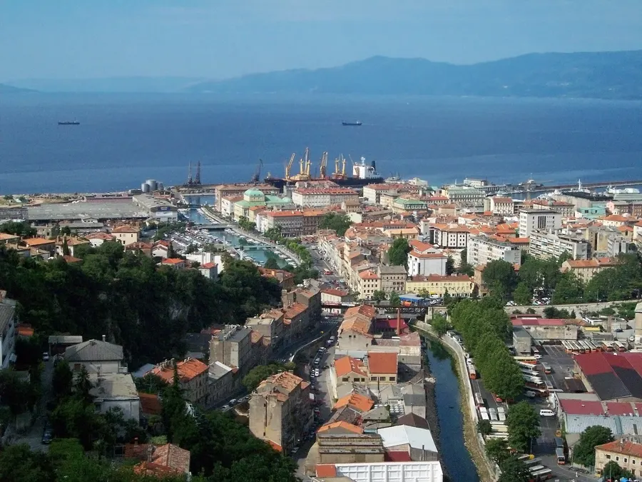
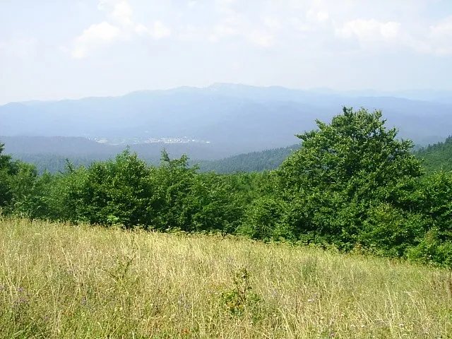
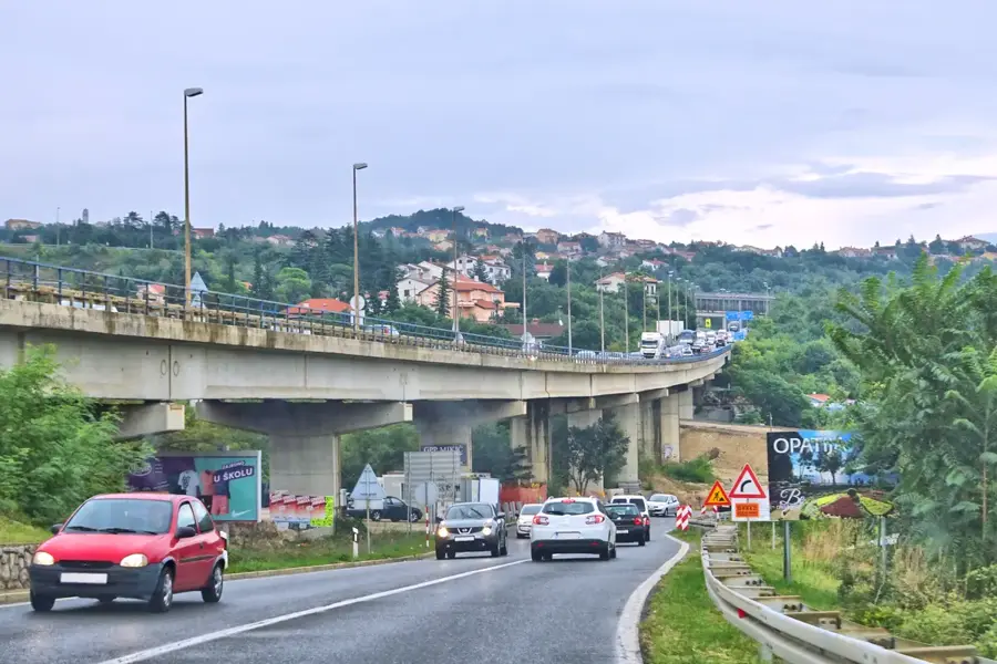
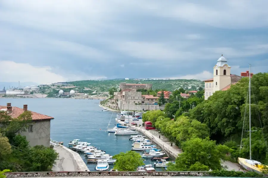
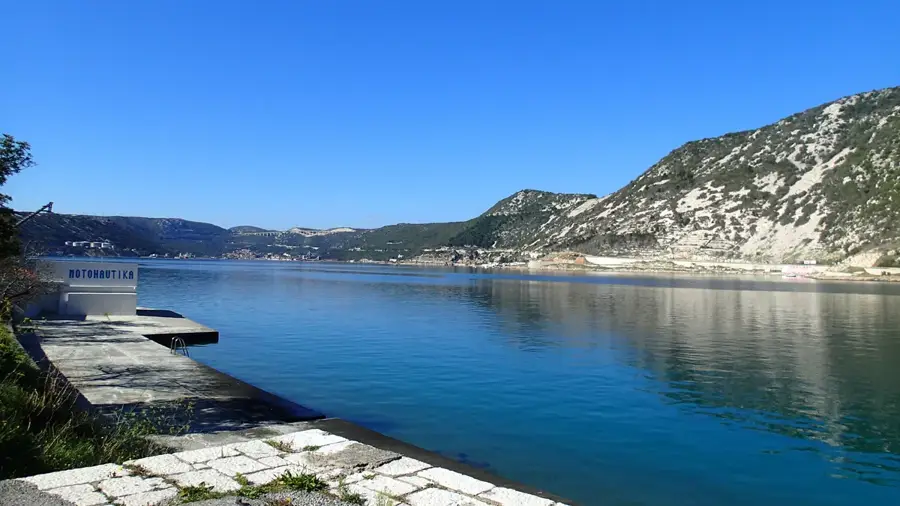
Kamenjak in Gorski Kotar is a prominent 837-meter peak that rises steeply above the Bay of Bakar and the Grobnik field near Rijeka. Its name, meaning "stony place," perfectly describes its barren, rocky slopes, which offer some of the most spectacular views over the Northern Adriatic and the island of Krk. Geologically, the mountain is composed of Jurassic limestones that have been weathered into sharp ridges and craggy outcrops. Due to its exposed position, Kamenjak is frequently subjected to the powerful Bura wind, which has stripped the summit area of significant forest cover, leaving only hardy grasses and shrubs. The mountain bears traces of old military fortifications, highlighting its historical strategic importance for monitoring maritime traffic in the Kvarner Gulf. For hikers, the summit is easily accessible and serves as a popular viewpoint for those traveling from the coast to the mountainous interior. The unique blend of alpine-style rock formations and immediate proximity to the sea defines the character of this landmark.
- Location: Croatia
- Top sights: Židovska sinagoga · Museum of Modern and Contemporary Art · City of Rijeka museum
- Nearby: Čavle (4 km)
Best time to visit & climate
The most pleasant time to visit is Jun–Aug.
| Jan | Feb | Mar | Apr | May | Jun | Jul | Aug | Sep | Oct | Nov | Dec | |
|---|---|---|---|---|---|---|---|---|---|---|---|---|
| Avg °C | -1 | 0 | 4 | 9 | 13 | 17 | 19 | 19 | 14 | 10 | 5 | 0 |
| Rain mm | 81 | 96 | 83 | 85 | 105 | 88 | 71 | 89 | 131 | 122 | 139 | 109 |
📋 Practical info
Geography
Facts
- The summit reaches an elevation of 837 meters.
- Located at the transition between Gorski Kotar and Vinodol.
- Provides 360-degree views of the Kvarner Gulf and islands.
- Composed of weathered Jurassic limestone rock formations.
- Highly exposed to the powerful coastal Bura wind currents.
- Historically used as a strategic lookout point since Roman times.
Explore nearby
Notable places around
Route planner — Car & Motorhome
Where do you start? We build the route here, with stops and country notes along the way.
© OpenStreetMap contributors · OpenRouteService
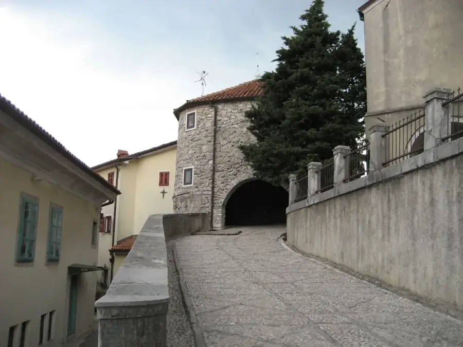
Sights in the town Kamenjak (10)
City of Rijeka museum🏛 museum
City of Rijeka museum is a museum in Croatia.
Teatro Fenice
Teatro Fenice is a theatre in Rijeka.
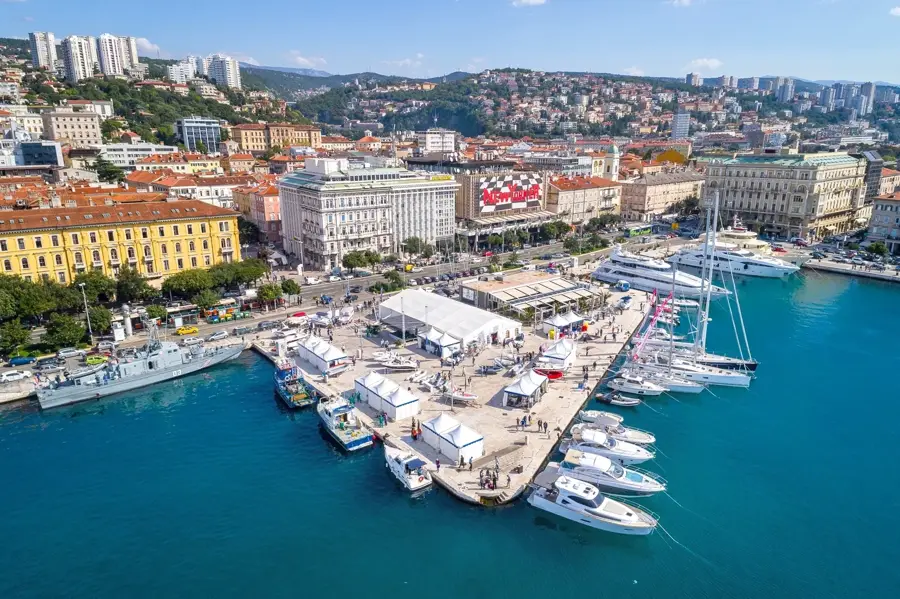
Port of Rijeka
Port of Rijeka is a port.
St. Romuald and All Saints
St. Romuald and All Saints is a place of worship in Rijeka.
The Maritime and History Museum of the Croatian Littoral🏛 museum
The Maritime and History Museum of the Croatian Littoral is a museum in Rijeka, Croatia.
Galerija Filodrammatica
Galerija Filodrammatica is a gallery in Rijeka.
Filodrammatica
Filodrammatica is a theatre in Rijeka.
Sights nearby
Frequently asked questions
Where is this Kamenjak peak located?
Is the ascent difficult?
What is special about the view?
Are there places to eat there?
Is the trail marked?
Kamenjak: where is it located?
Kamenjak: what is there to see?
Kamenjak: when is the best time to visit?
Kamenjak: why is it worth visiting?

Nearby cities