Plizio Visual Lab
Banda
ℹ️Practical info — Banda
▾
🌤 Weather — 5 days
📍 Nearby
Sights nearby
💡 Tips
- The remote location means a reliable 4x4 vehicle is necessary for the journey.
- Learn a few basic words in Kituba or Lingala to connect more easily with locals.
- Never photograph government buildings, military personnel, or security checkpoints.
- Always carry your passport and visa on your person for occasional road checkpoints.
🍽 Food
Fermented cassava bread wrapped in leaves, known for its long shelf life.
Ask at small eateries for traditional and sustainable wild game dishes.
A thick, okra-based soup that pairs well with cassava staples.
🛍 Shopping · 🧘 Quiet spots
Often sold fresh at small stands along the dirt roadsides.
Occasionally offered by passing local artisans.
Walk towards the edge of the dense forest to hear the sounds of nature.
Small watercourses near the town provide peaceful retreats.
Water temperature…
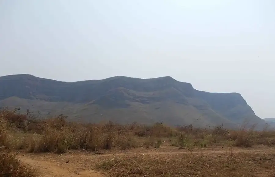
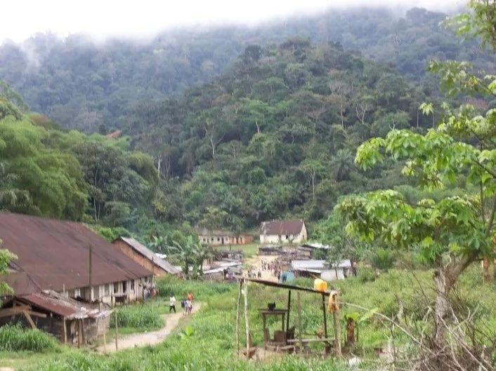
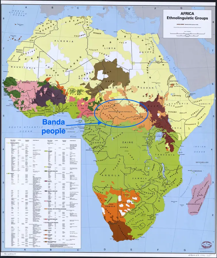
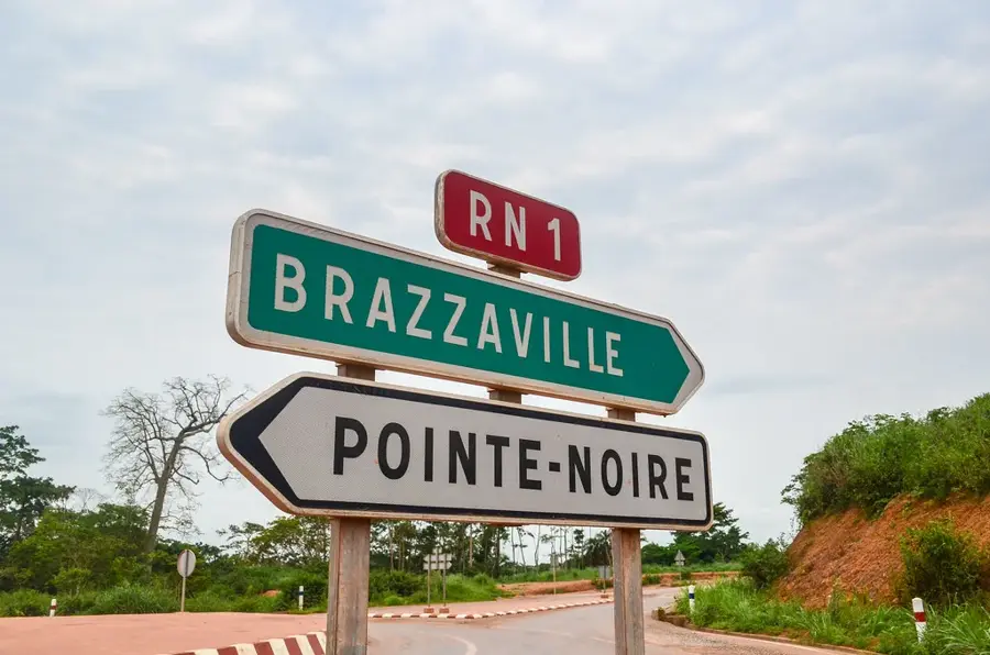
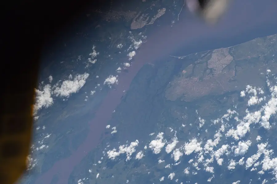
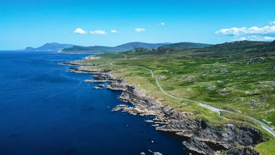
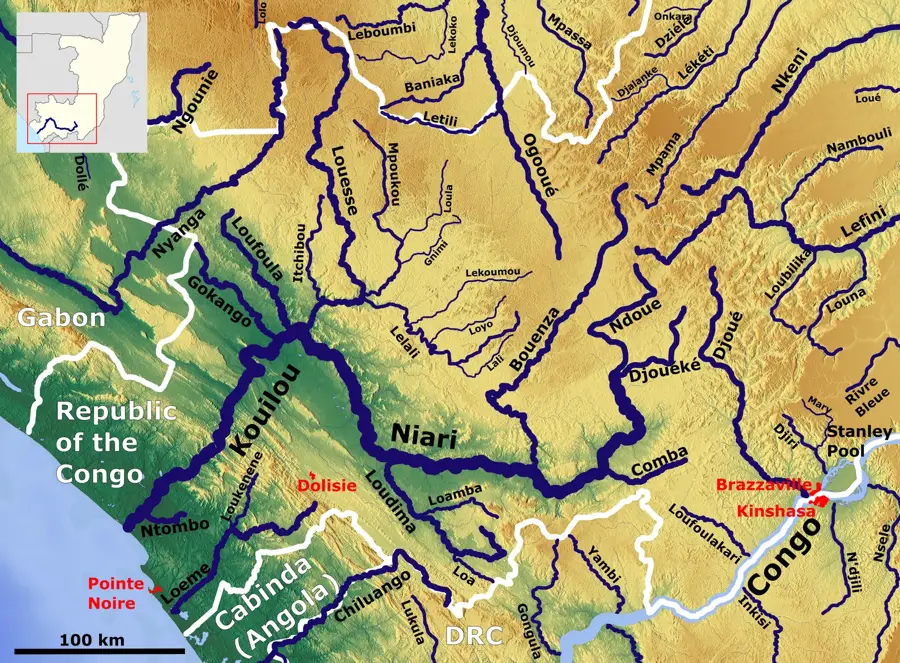
Banda is a locality in the Niari Department of the Republic of Congo, situated within a region defined by its agricultural character. The settlement is located near the border with Gabon, granting it a measure of significance for local cross-border movement and small-scale trade. Geographically, the area is characterized by the foothills of the Mayombe mountain range and dense tropical rainforests. The inhabitants primarily rely on subsistence farming, cultivating crops such as cassava, bananas, and maize, as well as harvesting forest products. Infrastructure in this part of the country is sparsely developed, which complicates access to larger markets and urban centers. Nevertheless, Banda plays a role in the social fabric of the Kimongo District and serves as an important reference point for surrounding rural communities. The region is also noted for its biodiversity, although scientific exploration in this remote area remains limited.
- Location: Congo - Brazzaville
- Nearby: Londela-Kayes (48 km)
Best time to visit & climate
The most pleasant time to visit is Jun–Aug.
| Jan | Feb | Mar | Apr | May | Jun | Jul | Aug | Sep | Oct | Nov | Dec | |
|---|---|---|---|---|---|---|---|---|---|---|---|---|
| Avg °C | 26 | 26 | 26 | 26 | 25 | 24 | 23 | 24 | 25 | 26 | 25 | 25 |
| Rain mm | 161 | 147 | 167 | 146 | 92 | 4 | 1 | 3 | 24 | 144 | 226 | 188 |
Geography
Facts
- Banda is located within the Kimongo District of the Niari Department.
- The locality is situated less than 50 kilometers from the border with Gabon.
- The region is part of Central Africa's tropical rainforest belt.
- Cassava is the most important staple food and agricultural product in the region.
- Transport access is mostly via unpaved tracks, which are difficult to navigate during the rainy season.
- Traditional villages of the Bakongo ethnic group are found in the surrounding area.
Explore nearby
Notable places around
Route planner — Car & Motorhome
Where do you start? We build the route here, with stops and country notes along the way.
© OpenStreetMap contributors · OpenRouteService
Frequently asked questions
Where is Banda located?
What characterizes the town of Banda?
How is the infrastructure in Banda?
How do you reach Banda?
Is there basic medical care there?
Banda: where is it located?
Banda: when is the best time to visit?
Banda: why is it worth visiting?

Nearby cities
Nature
More places