Plizio Visual Lab
Mayoko
ℹ️Practical info — Mayoko
▾
🌤 Weather — 5 days
📍 Nearby
Sights nearby
💡 Tips
- The train station is the historical core; a walk here reveals the railway's legacy.
- Trains run irregularly, so don't rely on them for strict timekeeping.
- Ask locals which paths are safe to walk near the mining areas.
- Rain boots are recommended in the wet season due to the muddy roads influenced by mining activities.
🍽 Food
Often offered in small eateries near the train station.
A staple food best eaten fresh in downtown restaurants.
A quick snack available from street vendors.
🛍 Shopping · 🧘 Quiet spots
The best place for everyday goods and local snacks.
Occasionally offer carvings made by local artisans.
Offer quiet walking trails, but stick to marked paths.
A nostalgic and silent spot for an afternoon walk.
Water temperature…
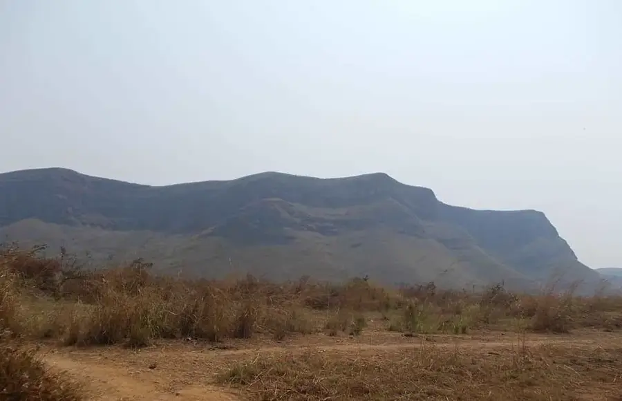
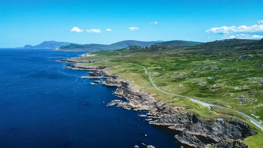
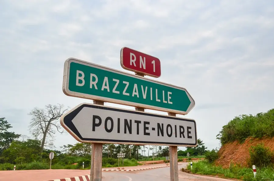
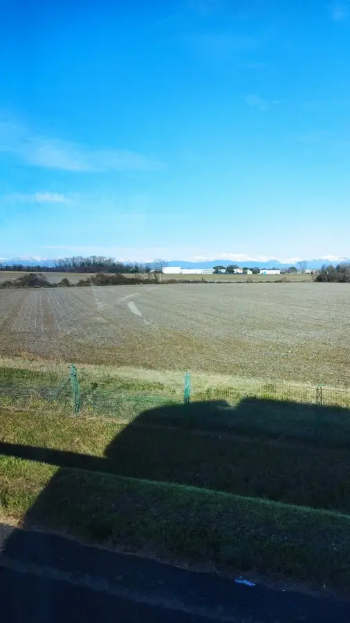
Mayoko is a strategically important mining town located in the Niari Department in the southwestern part of the Republic of Congo. The settlement gained international prominence primarily due to its significant iron ore deposits, which are estimated to exceed several hundred million tons. Geographically, Mayoko is situated along the Chemin de fer Congo-Océan (CFCO) railway line, providing a direct link to the deep-water port of Pointe-Noire. This logistical connection is vital for the planned large-scale export of raw materials from the interior. The surrounding region is characterized by a tropical climate, dense forests, and hilly terrain, which shapes the local environment and economic potential. The town's development is closely tied to global commodity market trends and investments by international mining corporations. Mayoko also functions as the administrative center for the district of the same name, providing essential services to the regional population.
- Location: Congo - Brazzaville
- Nearby: Mossendjo (71 km)
Best time to visit & climate
The most pleasant time to visit is Jun–Aug.
| Jan | Feb | Mar | Apr | May | Jun | Jul | Aug | Sep | Oct | Nov | Dec | |
|---|---|---|---|---|---|---|---|---|---|---|---|---|
| Avg °C | 24 | 24 | 24 | 24 | 24 | 23 | 23 | 23 | 23 | 23 | 23 | 23 |
| Rain mm | 177 | 167 | 235 | 221 | 183 | 27 | 7 | 18 | 92 | 269 | 357 | 244 |
Geography
Facts
- Iron ore reserves near Mayoko are estimated at more than 500 million tons.
- The town is located approximately 300 kilometers northeast of the port of Pointe-Noire.
- Mayoko is connected to the national rail network via the Mbinda branch of the CFCO.
- The elevation of the town is approximately 550 meters above sea level.
- International companies such as Exxaro and Sapetro have been involved in exploration.
- The settlement serves as the administrative headquarters of the Mayoko District in Niari.
Explore nearby
Notable places around
Route planner — Car & Motorhome
Where do you start? We build the route here, with stops and country notes along the way.
© OpenStreetMap contributors · OpenRouteService
Sights in the town Mayoko (1)
Frequently asked questions
What is Mayoko?
Does Mayoko have a railway connection?
What is the atmosphere like in Mayoko?
Are there hotels for business travelers?
When should you visit Mayoko?
Mayoko: where is it located?
Mayoko: when is the best time to visit?
Mayoko: why is it worth visiting?

Nearby cities
More places