Plizio Visual Lab
Ngo
ℹ️Practical info — Ngo
▾
🌤 Weather — 5 days
📍 Nearby
Sights nearby
💡 Tips
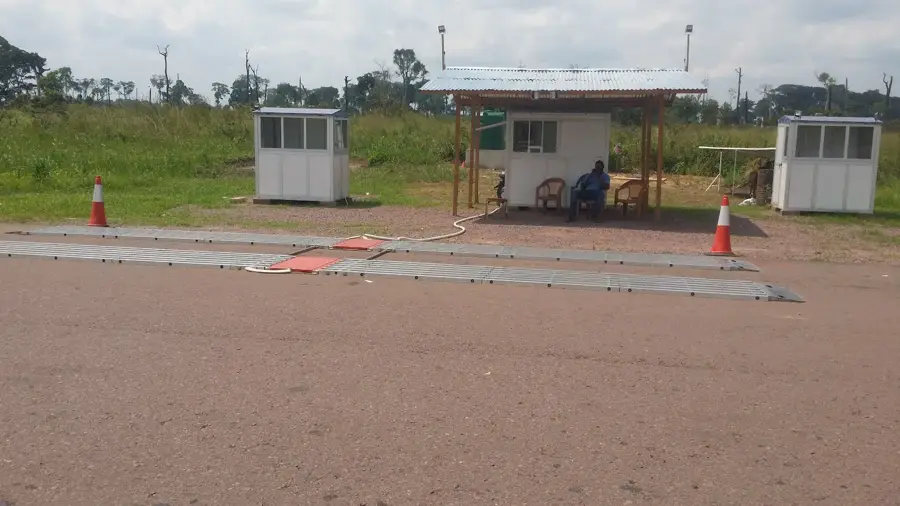
- Ngo is a vital stop on National Road 2; it is the well-suited place to refuel and grab snacks before heading north.
- Prices at roadside stalls can sometimes be negotiated, but keep it friendly.
- Keep an eye out for local fruit vendors offering seasonal harvests along the main road.
- Public transport (minibuses) often stop here, making the main junction quite busy.
🍽 Food
Hot, sweet fried dough balls often sold near the transport hubs.
Quick and tasty snacks available at evening braai stands.
When in season, these boiled or roasted fruits are a popular tangy snack.
🛍 Shopping · 🧘 Quiet spots
The area around the main road is great for quick provisions and local snacks.
Various forms of processed cassava can be bought from local vendors.
Just a short walk away from the RN2, the town becomes much quieter.
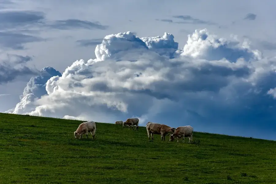
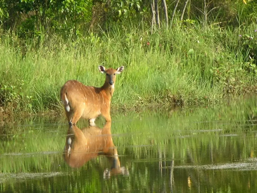
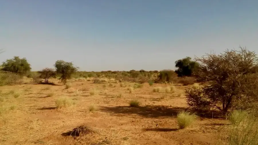
The region features savanna landscapes which are excellent for a quiet stroll.
Water temperature…
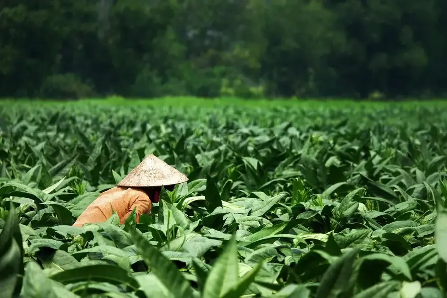
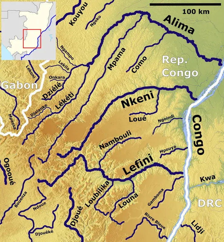
Ngo is a strategically positioned town in the Plateaux Department of the Republic of Congo, functioning as a vital transportation hub in the center of the country. The town is situated on the Batéké Plateau, a region characterized by vast grasslands and sandy soils, which pose unique conditions for local agriculture. Geographically, Ngo serves as a major intersection on the N2 national highway, connecting the north and south of the nation, making it an indispensable stop for travelers and commercial freight. Historically, the region is deeply connected to the Téké Kingdom, whose cultural heritage remains evident in local social structures and architecture today. Over recent decades, the town has evolved into an important commercial center for plateau-grown agricultural products such as cassava and yams. Ngo also acts as an administrative gateway to surrounding rural communities, playing a key role in regional infrastructure development.
- Location: Congo - Brazzaville
- Nearby: Allembé (41 km)
- Population: ~14.606 (2023)
Best time to visit & climate
The most pleasant time to visit is Jun–Aug.
| Jan | Feb | Mar | Apr | May | Jun | Jul | Aug | Sep | Oct | Nov | Dec | |
|---|---|---|---|---|---|---|---|---|---|---|---|---|
| Avg °C | 26 | 26 | 26 | 26 | 26 | 26 | 26 | 27 | 26 | 25 | 25 | 25 |
| Rain mm | 141 | 147 | 191 | 179 | 142 | 39 | 15 | 51 | 125 | 203 | 238 | 193 |
Geography
Facts
- Ngo is located approximately 230 kilometers north of Brazzaville on the Batéké Plateau.
- The town is a central junction for the N2 national highway system.
- Ngo serves as the administrative headquarters for the Ngo District.
- The region is a historical heartland of the Téké ethnic group.
- The road branching off to Djambala and the western Plateaux starts here.
- The plateau elevation results in slightly cooler average temperatures than the Congo Basin.
Explore nearby
Notable places around
Route planner — Car & Motorhome
Where do you start? We build the route here, with stops and country notes along the way.
© OpenStreetMap contributors · OpenRouteService
Frequently asked questions
What role does Ngo play?
Is a stop in Ngo worthwhile?
How far is it to Brazzaville?
Are there gas stations in Ngo?
What is produced locally?
Ngo: where is it located?
Ngo: when is the best time to visit?
Ngo: why is it worth visiting?

Nearby cities

Nature
More places