Plizio Visual Lab
Koukouya Plateau
Weather…
Water temperature…
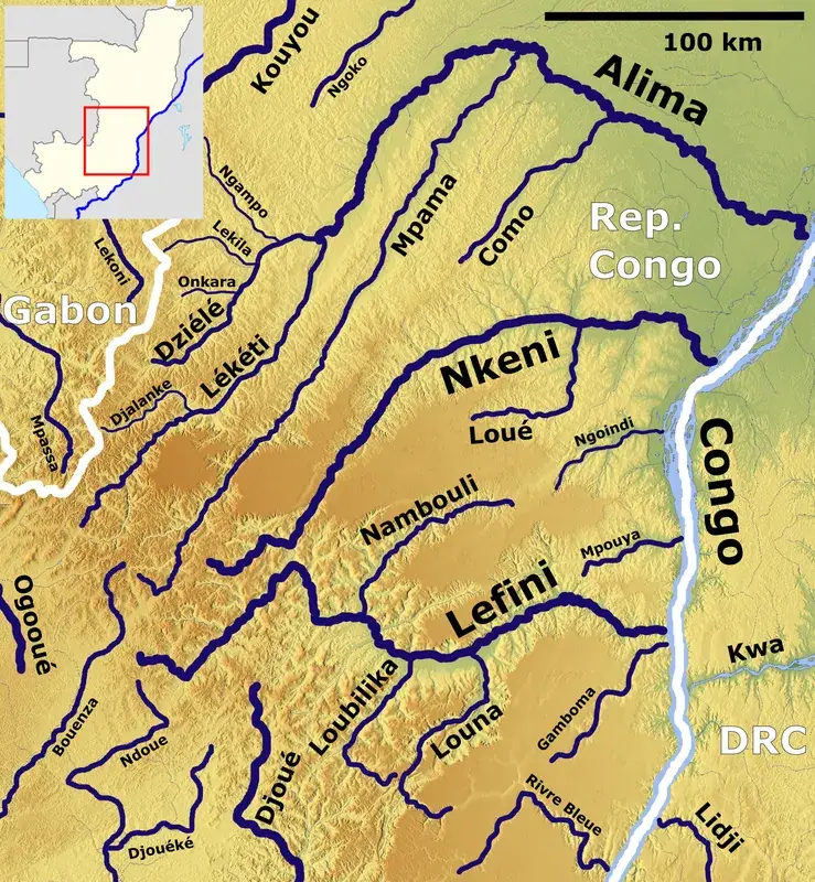
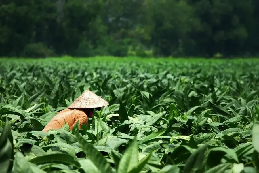
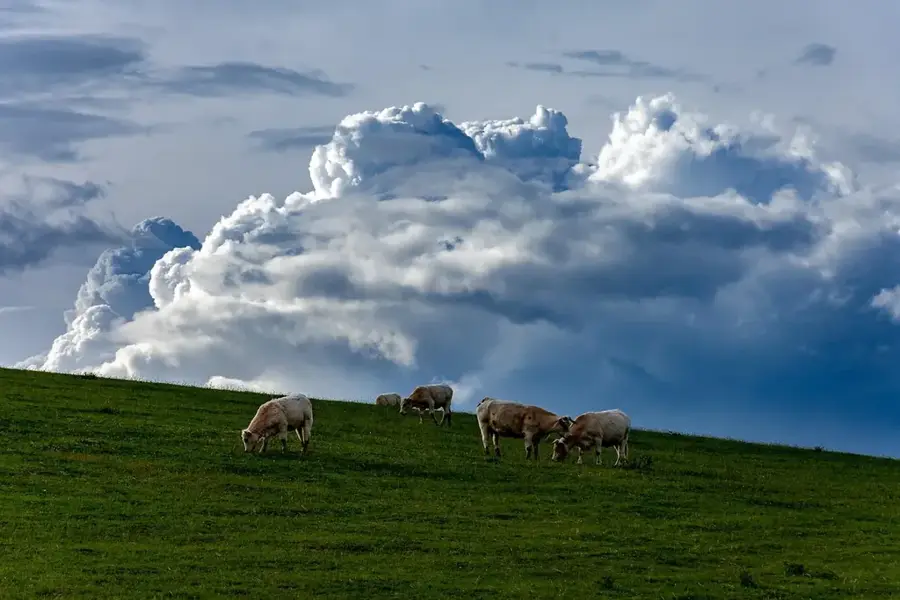
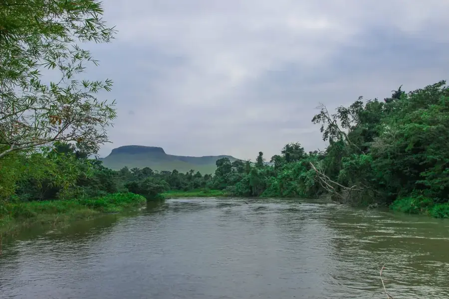
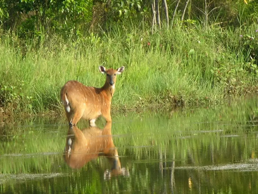
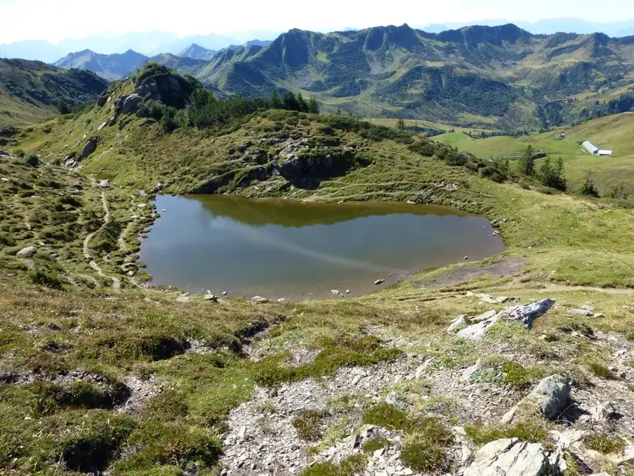
The Koukouya Plateau is a prominent highland within the Batéké Plateau system in the Republic of the Congo, located in the Plateaux Department north of Brazzaville. It is uniquely distinguished from the surrounding sandy plateaus by its volcanic soil and an average elevation of 800 meters. These fertile conditions have transformed the plateau into the agricultural heartland of the country, often called the 'Garden of the Congo.' The cooler, temperate-like climate of the highlands allows for the large-scale production of crops such as potatoes, onions, and tobacco, which are essential for the urban markets of Brazzaville. The landscape features rolling grasslands interspersed with lush forest galleries along the riverbanks. Home to the Téké people, the plateau is steeped in cultural history, as this group has expertly farmed the region for centuries. The elevation provides a refreshing escape from the equatorial heat, and the panoramic views from its ridges are among the most scenic in Central Africa. Its strategic importance lies in its role as a key food provider and its unique geological status as a fertile volcanic enclave.
- Location: Congo - Brazzaville
- Nearby: Djambala (40 km)
Best time to visit & climate
The most pleasant time to visit is Jun–Aug.
| Jan | Feb | Mar | Apr | May | Jun | Jul | Aug | Sep | Oct | Nov | Dec | |
|---|---|---|---|---|---|---|---|---|---|---|---|---|
| Avg °C | 24 | 24 | 24 | 24 | 24 | 24 | 24 | 25 | 25 | 24 | 24 | 24 |
| Rain mm | 122 | 125 | 185 | 163 | 126 | 21 | 7 | 24 | 82 | 200 | 239 | 176 |
📋 Practical info
Geography
Facts
- The plateau has an average elevation of 800 meters (2,625 feet) above sea level.
- It is the primary producer of temperate-climate vegetables in the Republic of the Congo.
- The volcanic soil is a rare geological feature in the predominantly sandy Batéké region.
- Lékana is the main urban center and market for the plateau's produce.
- The climate is characterized by significantly lower humidity than the coastal regions.
- Traditional Téké agricultural techniques are still widely practiced here.
Explore nearby
Notable places around
Route planner — Car & Motorhome
Where do you start? We build the route here, with stops and country notes along the way.
© OpenStreetMap contributors · OpenRouteService
Sights nearby
Frequently asked questions
What characterizes the Koukouya Plateau?
What products are grown there?
Which people live on the plateau?
How is the climate compared to the surrounding area?
How do you reach Koukouya?
Koukouya Plateau: where is it located?
Koukouya Plateau: when is the best time to visit?
Koukouya Plateau: why is it worth visiting?

Nearby cities
Nature
More places