Plizio Visual Lab
Batéké Plateaus
Weather…
Water temperature…
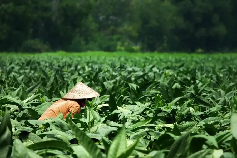
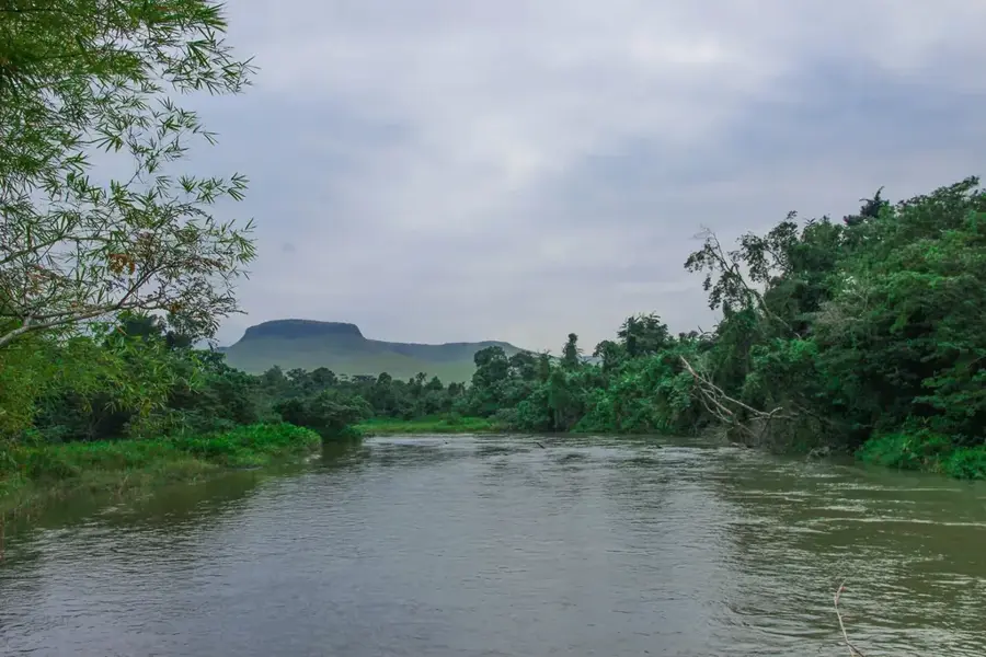
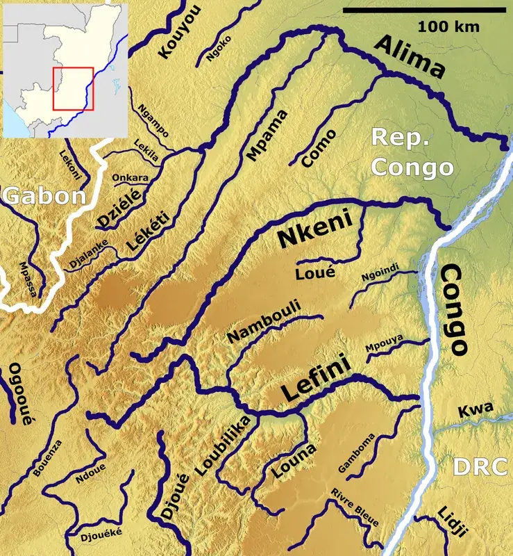
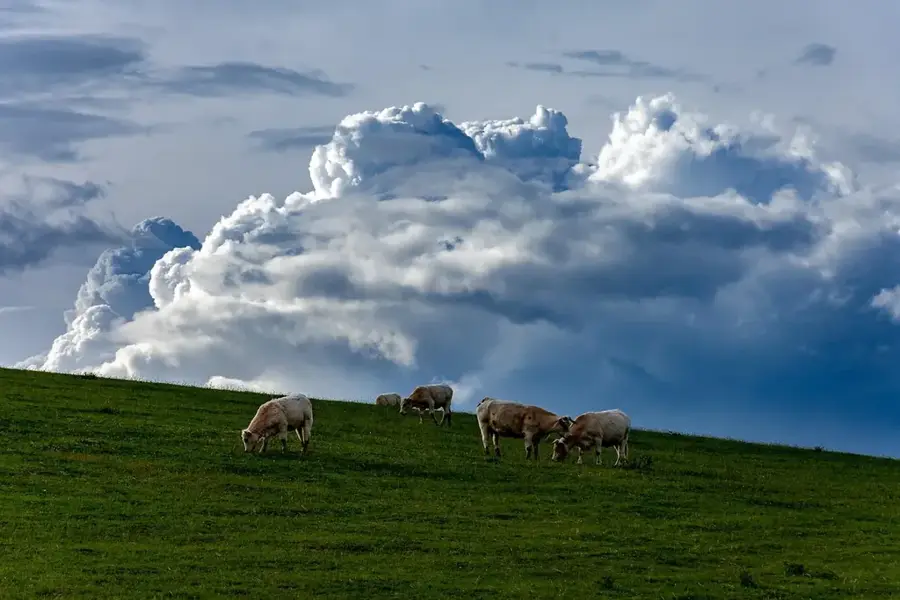
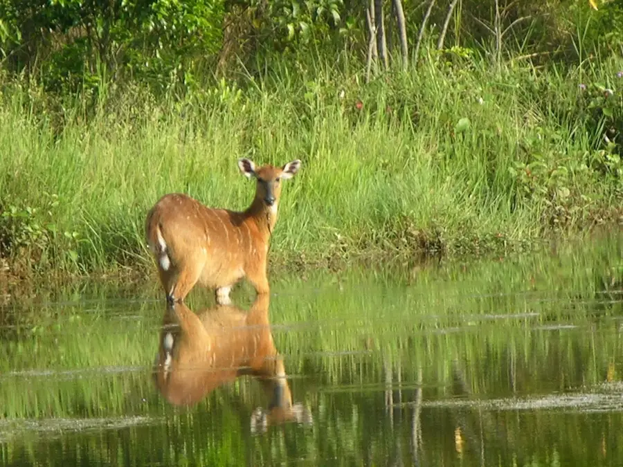
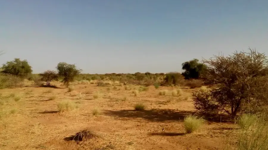
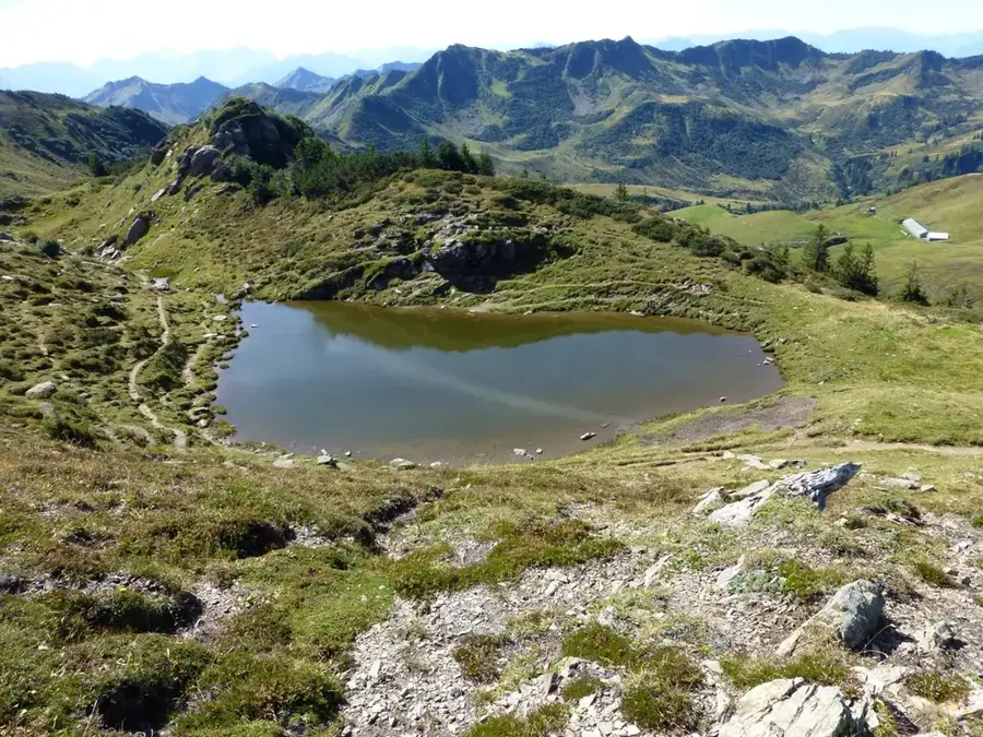
The Batéké Plateaus form an expansive upland region spanning the eastern Republic of the Congo and extending into Gabon. This ancient geological formation consists primarily of sandstone plateaus that average between 500 and 800 meters in elevation. The landscape is unique in Central Africa, characterized by vast rolling grass savannas and deep valleys lined with dense gallery forests. The region is named after the Téké people, the traditional inhabitants who once established a powerful kingdom across these heights. Geographically, the plateau serves as a vital watershed, giving rise to numerous rivers such as the Alima, Léfini, and Mpasa. The highly permeable sandy soils lead to the formation of crystal-clear rivers that drain into the Congo Basin. Today, the Batéké Plateaus host several crucial conservation areas dedicated to protecting endangered species like forest elephants and lowland gorillas. The higher altitude provides a cooler, breezier climate compared to the humid lowland rainforests, making it a distinct environmental zone in the heart of Africa.
- Location: Congo - Brazzaville
- Nearby: Ngo (28 km)
Best time to visit & climate
The most pleasant time to visit is Jun–Aug.
| Jan | Feb | Mar | Apr | May | Jun | Jul | Aug | Sep | Oct | Nov | Dec | |
|---|---|---|---|---|---|---|---|---|---|---|---|---|
| Avg °C | 25 | 25 | 25 | 25 | 25 | 24 | 24 | 25 | 25 | 25 | 24 | 24 |
| Rain mm | 149 | 157 | 206 | 188 | 153 | 43 | 16 | 52 | 125 | 213 | 257 | 206 |
📋 Practical info
Geography
Facts
- The Batéké Plateaus have an average elevation of 500 to 800 meters above sea level.
- The region is composed of sandstone formations dating back to the Tertiary period.
- It was the historical site of the Téké Kingdom, led by the Makoko (King).
- The plateaus act as a giant sponge, filtering rainwater into clear underground aquifers.
- The savanna landscape is maintained by periodic natural and controlled fires.
- It is a key area for the reintroduction of lions in Gabon and neighboring Congo.
Explore nearby
Notable places around
Route planner — Car & Motorhome
Where do you start? We build the route here, with stops and country notes along the way.
© OpenStreetMap contributors · OpenRouteService
Sights nearby
Frequently asked questions
What is special about the Batéké Plateaus?
What animals live on the plateau?
Are there gorillas there?
What is the soil structure like?
How far is it from Brazzaville?
Batéké Plateaus: where is it located?
Batéké Plateaus: when is the best time to visit?
Batéké Plateaus: why is it worth visiting?

Nearby cities
Nature
More places