Plizio Visual Lab
Djambala
ℹ️Practical info — Djambala
▾
🌤 Weather — 5 days
📍 Nearby
Sights nearby
💡 Tips
- Bring a light jacket or sweater; due to its altitude on the plateaus, Djambala has a notably cooler and breezier climate than Brazzaville.
- The road connecting Brazzaville to Djambala has beautiful scenic views, making road travel a rewarding experience.
- Visit the town center on market days when the local community gathers to trade textiles and crops.
- Pack good walking shoes, as the plateau landscape is first-rate for spontaneous nature walks.
🍽 Food
Foraged from the local plateaus and often incorporated into savory stews.
A dense, filling local staple found at every market stall.
A hearty local dish available at small eateries around the town center.
🛍 Shopping · 🧘 Quiet spots
A bustling place to purchase agricultural goods and local fabrics.
Sometimes you can find handmade wooden items or woven baskets from nearby villages.
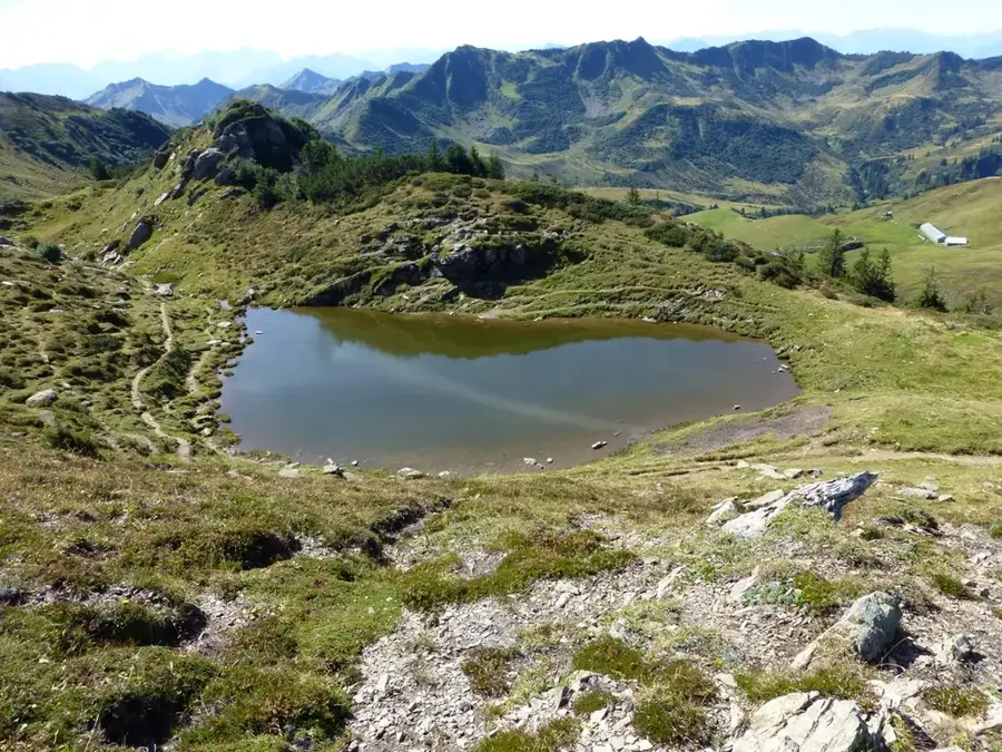
Walk towards the outskirts of town to enjoy vast, uninterrupted views of the grassy plateaus.
Enjoy the crisp air and quiet nature paths away from the administrative center.
Water temperature…
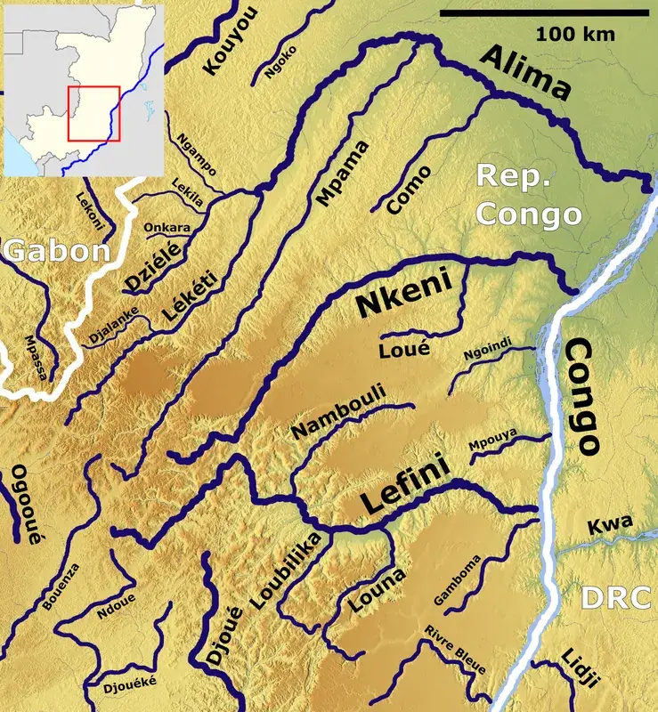
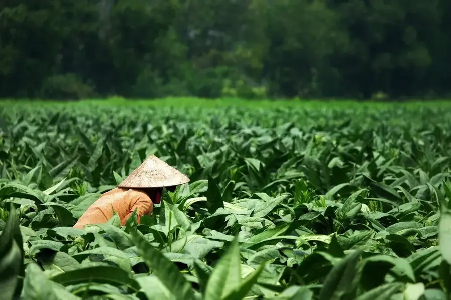
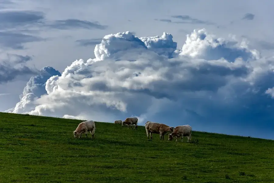
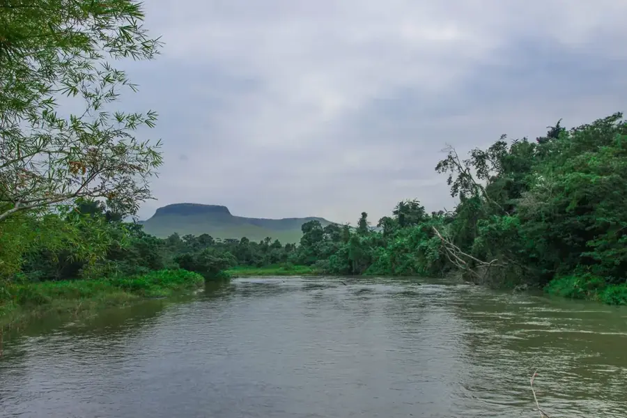
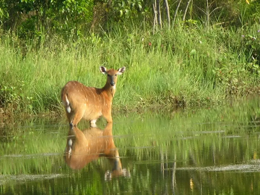
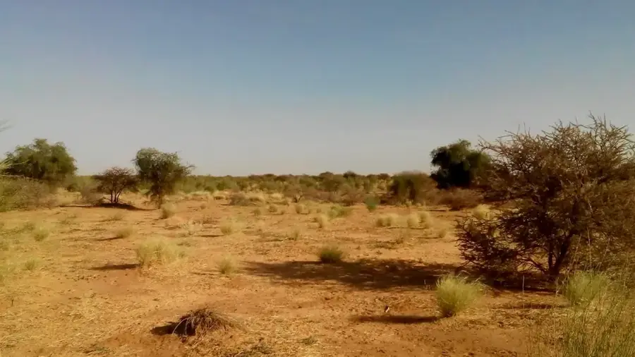
Djambala is the administrative capital of the Plateaux Department in the Republic of the Congo, located on the Djambala Plateau. The city is noted for its cooler and more pleasant climate compared to the rest of the country, a result of its high elevation exceeding 600 meters. Djambala serves as a key agricultural center, where the cultivation of grains and tuber crops forms the backbone of the local economy. The town is also a gateway to the nearby Léfini Faunal Reserve, known for its conservation of hippos and antelopes. As an administrative hub, Djambala houses vital government buildings, schools, and hospitals. In recent years, significant investments have been made in urban infrastructure to enhance the quality of life and promote tourism. The city is linked to Brazzaville via the N2 national highway and features a regional airport that underscores its role as a regional transportation node.
- Location: Congo - Brazzaville
- Population: ~15.372 (2026)
Best time to visit & climate
The most pleasant time to visit is Jun–Aug.
| Jan | Feb | Mar | Apr | May | Jun | Jul | Aug | Sep | Oct | Nov | Dec | |
|---|---|---|---|---|---|---|---|---|---|---|---|---|
| Avg °C | 24 | 25 | 25 | 25 | 24 | 24 | 25 | 26 | 25 | 25 | 24 | 24 |
| Rain mm | 131 | 138 | 193 | 170 | 135 | 33 | 12 | 38 | 99 | 202 | 242 | 186 |
Geography
Facts
- Administrative capital of the Plateaux Department in the Congo.
- Situated at a notable elevation of approximately 620 meters.
- Primary gateway for visiting the Léfini Faunal Reserve.
- Served by Djambala Airport, identified by the IATA code DJM.
- Significant regional market for potato and maize production.
- Located roughly 330 kilometers north of the capital city, Brazzaville.
Explore nearby
Notable places around
Route planner — Car & Motorhome
Where do you start? We build the route here, with stops and country notes along the way.
© OpenStreetMap contributors · OpenRouteService
Sights in the town Djambala (1)
Frequently asked questions
What is the geographical specialty?
Is the nature in the area worth exploring?
How can the city be reached?
Are there accommodations for tourists?
When is the best time for a visit?
Djambala: where is it located?
Djambala: when is the best time to visit?
Djambala: why is it worth visiting?

Nearby cities
Nature
More places