Plizio Visual Lab
Mount Sima
Weather…
Water temperature…
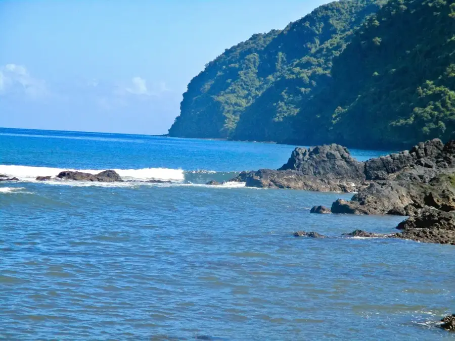
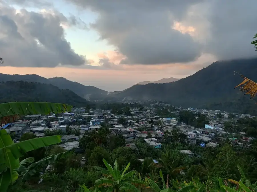
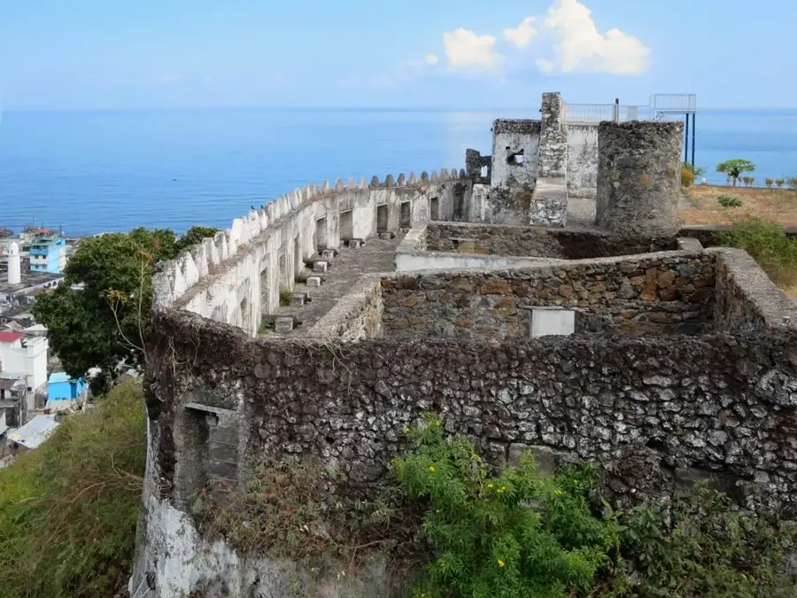
Mount Sima is a prominent landmark located on the Sima Peninsula in western Anjouan. This mountain range is a key feature of the island's dramatic volcanic topography, characterized by sharp ridges and steep escarpments that descend toward the turquoise waters of the Mozambique Channel. The geological composition of Mount Sima consists of ancient, weathered basalt flows that have created some of the most fertile soils on the island. Historically, the mountain provided a natural lookout point for early settlers and traders navigating the coastal waters of the Comoros. Today, the slopes are a patchwork of small-scale farms where crops like cassava, bananas, and the aromatic ylang-ylang are cultivated on carefully maintained terraces. The high elevation of the range captures passing trade winds, leading to frequent mists and a humid microclimate that supports a wide array of endemic plants. Mount Sima is not only a site of natural beauty but also a vital economic zone for the local population, who depend on its slopes for both sustenance and export crops. Its rugged profile remains an iconic symbol of Anjouan's western horizon.
Best time to visit & climate
The most pleasant time to visit is Feb, Mar, Dec.
| Jan | Feb | Mar | Apr | May | Jun | Jul | Aug | Sep | Oct | Nov | Dec | |
|---|---|---|---|---|---|---|---|---|---|---|---|---|
| Avg °C | 9 | 10 | 10 | 9 | 8 | 8 | 7 | 7 | 6 | 7 | 8 | 9 |
| Rain mm | 88 | 71 | 92 | 92 | 118 | 110 | 99 | 95 | 81 | 69 | 66 | 74 |
📋 Practical info
Geography
Facts
- Mount Sima is the dominant peak of the Sima Peninsula.
- It rises to an elevation of approximately 500 meters.
- The mountain is composed of heavily weathered volcanic basalt.
- It serves as a primary area for ylang-ylang flower harvesting.
- Moheli island is often visible from its summit on clear days.
- Terraced farming is vital here to combat tropical soil erosion.
Explore nearby
Notable places around
Route planner — Car & Motorhome
Where do you start? We build the route here, with stops and country notes along the way.
© OpenStreetMap contributors · OpenRouteService
Sights nearby
Frequently asked questions
Where is Mount Sima?
What makes the mountain interesting for tourists?
Are there marked hiking trails?
What should be considered when climbing it?
Does ylang-ylang grow there?
Mount Sima: where is it located?
Mount Sima: when is the best time to visit?
Mount Sima: why is it worth visiting?

Nearby cities

History & landmarks

Nature
More places