Plizio Visual Lab
River Goulat

Weather…
Water temperature…
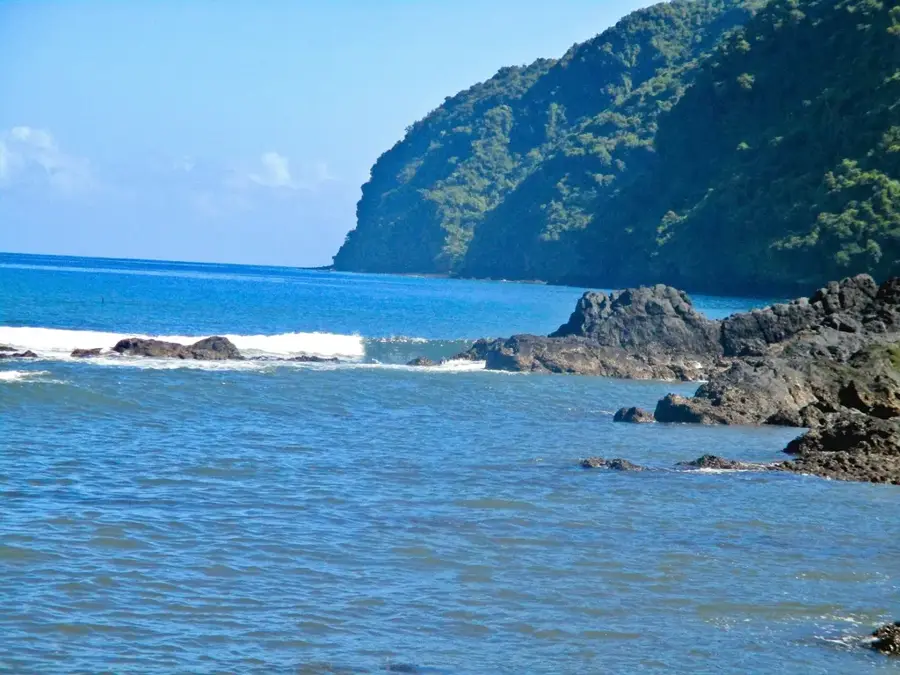
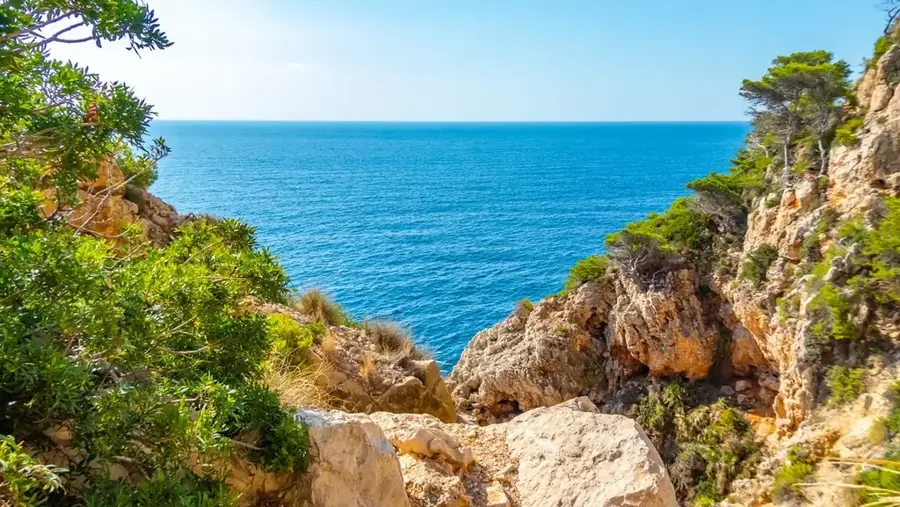
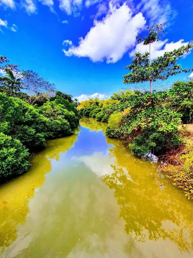
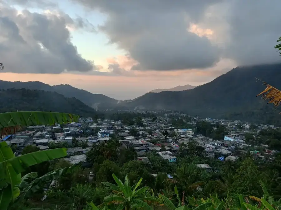
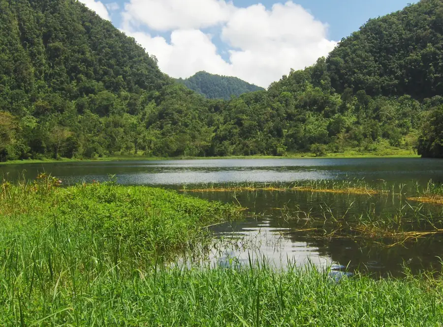
The Goulat River is a prominent permanent stream on Anjouan Island, essential for the ecological health and agricultural productivity of the southeast region. Rising from the misty slopes of the Mtingui mountain range, the river carves its path through deep canyons and lush tropical forests. Unlike the rivers on the neighboring islands, the Goulat maintains a steady flow year-round, fed by the high precipitation typical of Anjouan's interior peaks. The river's course is marked by several scenic waterfalls and natural plunge pools that serve as critical micro-habitats for endemic aquatic species. Historically, the Goulat valley has been a site of intensive terrace farming, where the fertile volcanic soil and reliable water supply allow for the cultivation of essential food crops. Modern environmental initiatives are currently focused on managing the Goulat's watershed to prevent landslides and water contamination caused by expanding agriculture. The river remains a symbol of the island's natural wealth and a cornerstone of life for the villages set along its verdant banks.
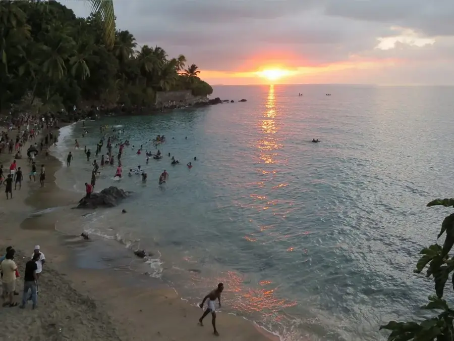
- Location: Comoros
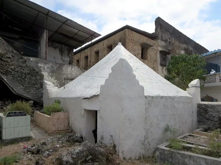
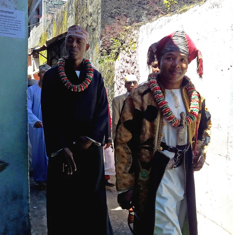
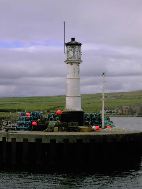
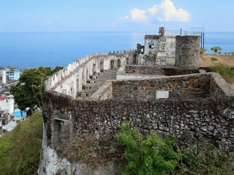
- Top sights: Citadel · Marahaba Sambi mrHb smby
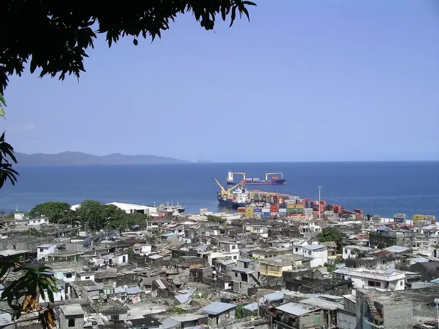
- Nearby: Bazmini (6 km)
Best time to visit & climate
The most pleasant time to visit is Jul–Sep.
| Jan | Feb | Mar | Apr | May | Jun | Jul | Aug | Sep | Oct | Nov | Dec | |
|---|---|---|---|---|---|---|---|---|---|---|---|---|
| Avg °C | 28 | 28 | 28 | 28 | 27 | 26 | 25 | 25 | 25 | 26 | 27 | 28 |
| Rain mm | 222 | 162 | 150 | 119 | 58 | 33 | 27 | 21 | 19 | 36 | 50 | 108 |
📋 Practical info
Geography
Facts
- Goulat River is a key perennial stream in southeastern Anjouan.
- It originates at an altitude of nearly 1000 meters.
- The total length of the river is approximately 12 kilometers.
- It provides essential irrigation for traditional terrace farming.
- The river's bed consists of erosion-resistant volcanic basalt.
- Current water management plans protect its 2500 mm annual runoff.
Explore nearby
Notable places around
Route planner — Car & Motorhome
Where do you start? We build the route here, with stops and country notes along the way.
© OpenStreetMap contributors · OpenRouteService
Sights in the town River Goulat (2)
Sights nearby
Frequently asked questions
Where is the River Goulat located?
Is the water clean?
Can you fish at the river?
What plants are found on the banks?
Are there waterfalls there?
River Goulat: where is it located?
River Goulat: what is there to see?
River Goulat: when is the best time to visit?
River Goulat: why is it worth visiting?

Nearby cities


History & landmarks

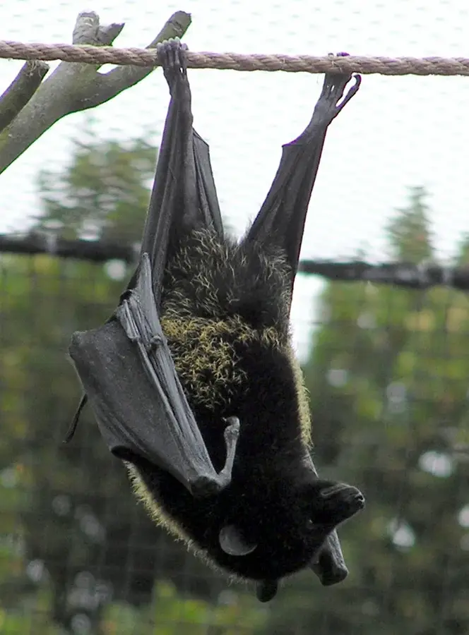
Nature
More places