Plizio Visual Lab
Adda-Douéni
ℹ️Practical info — Adda-Douéni
▾
🌤 Weather — 5 days
📍 Nearby
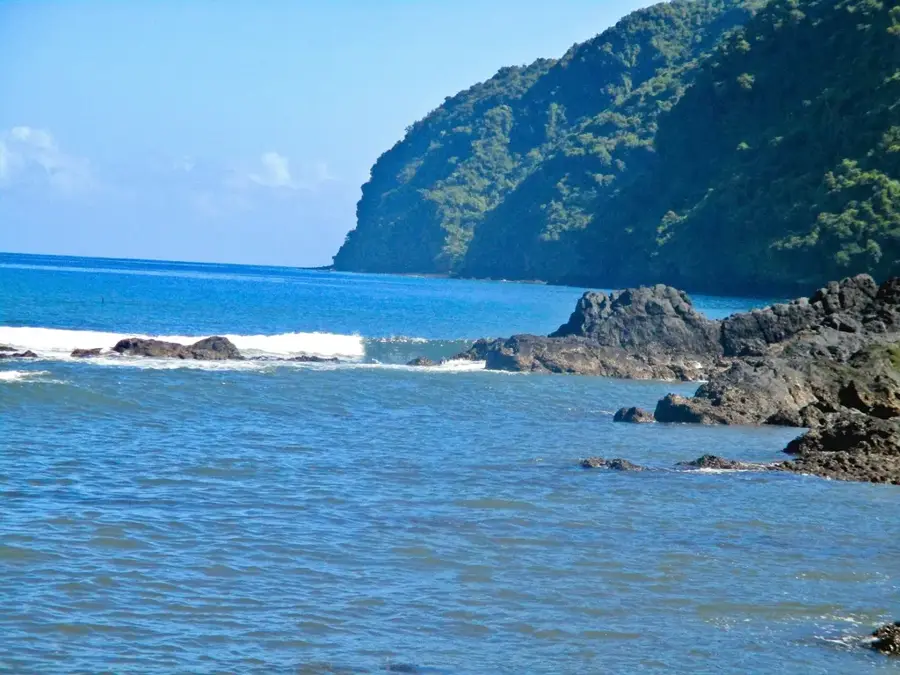
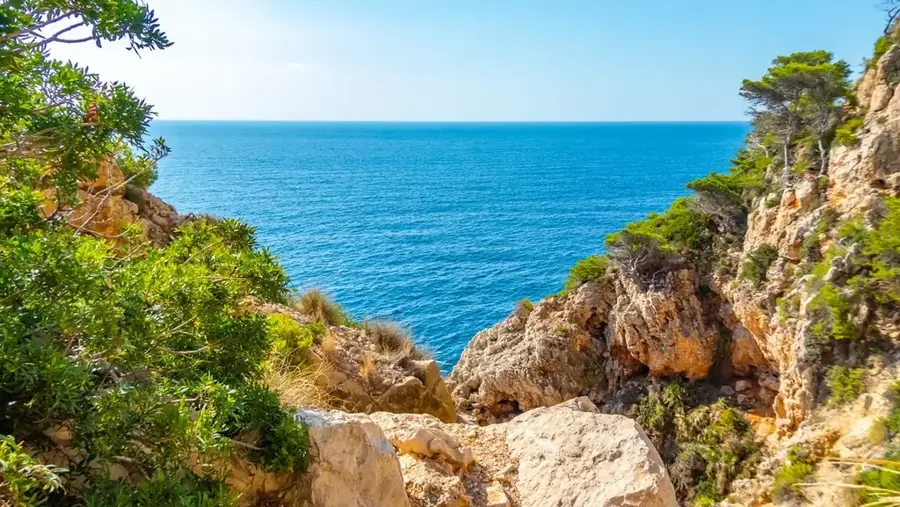
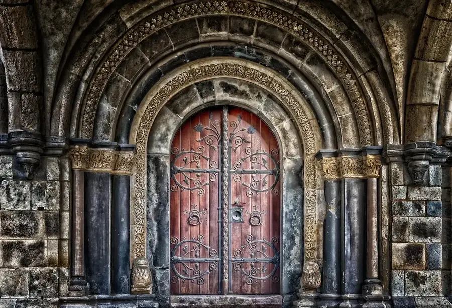
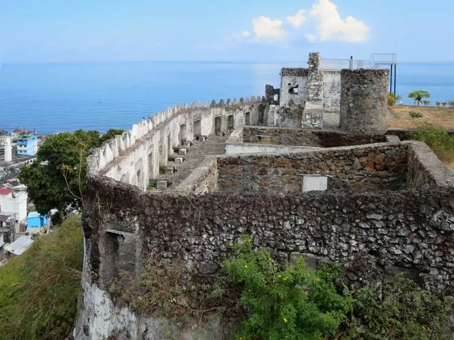
Sights nearby
💡 Tips
- Walk instead of drive due to dense streets.
- Carry local cash (Comorian franc) as cards are rarely accepted.
- Visit the central market early in the morning for the freshest produce.
- Respect local Islamic customs by dressing modestly.
🍽 Food
Look for local coastal eateries serving this delicious vanilla lobster.
Try this spiced meat and rice dish at local food stalls.
Pick up fresh jackfruit and papaya at the morning market.
🛍 Shopping · 🧘 Quiet spots
Available from local vendors, well-suited as a fragrant souvenir.
Find fresh cloves and vanilla in the central market area.
Take a walk on the outskirts among the local agricultural plots for a peaceful retreat.
Hike up the surrounding hills for quiet views over the town and ocean.
Water temperature…
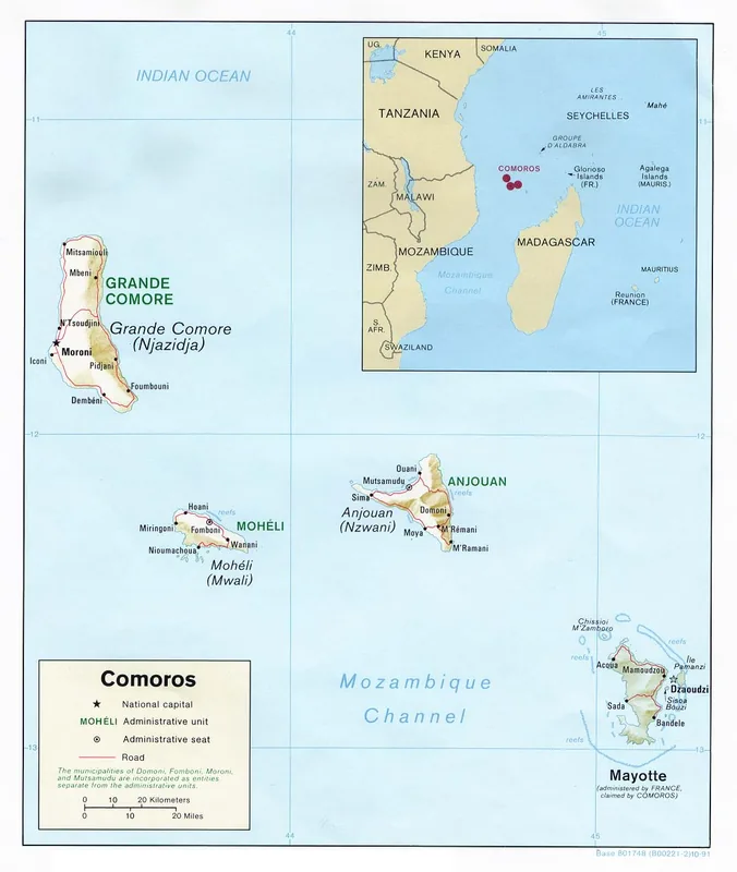
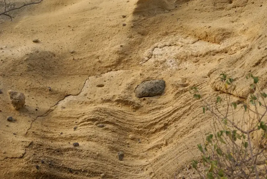
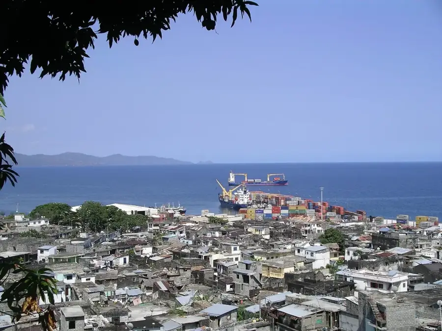
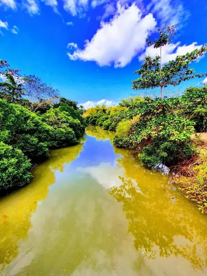
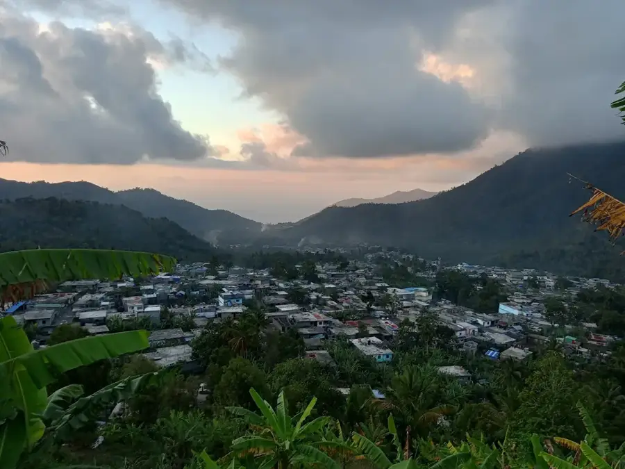
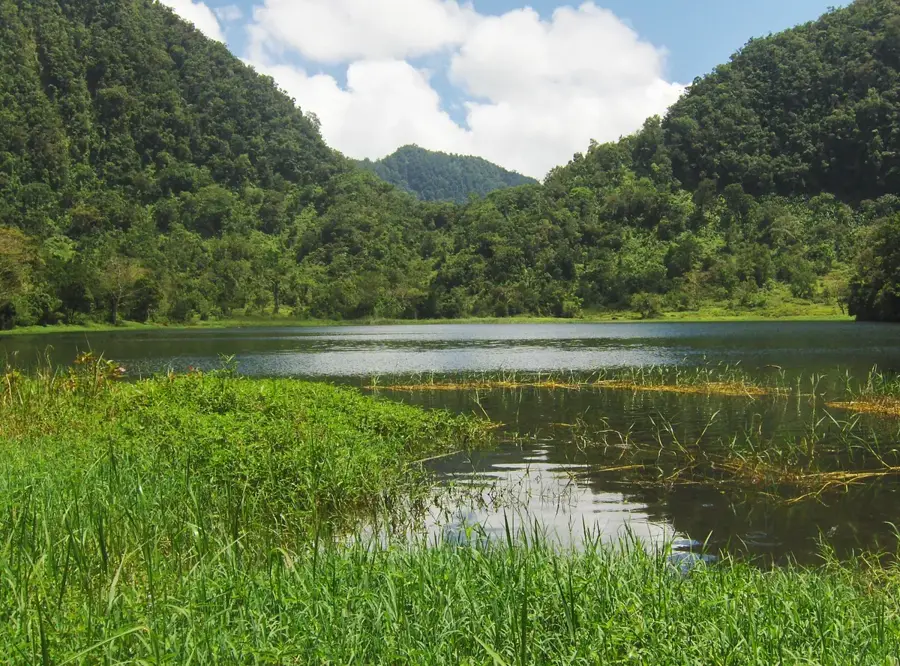
Adda-Douéni is a significant town on the island of Anjouan (Nzwani), located in the mountainous region of the south-central part of the island. Situated in one of the highest inhabited zones of the Comoros, the town is characterized by a significantly cooler and more humid microclimate than the coastal regions. These climatic conditions make Adda-Douéni one of the most important centers for market gardening and vegetable cultivation, which are distributed from here across the entire island. The town is known for its steep streets and dense housing that adapt to the rugged topography of the volcanic landscape. Historically, the region served as a refuge and a site of intense agricultural development during the colonial era, with old plantation structures still visible today. The residents of Adda-Douéni are proud of their agricultural tradition and their role as the 'vegetable garden' of Anjouan. Despite the challenges of its isolated highland location, the town remains a spirited place of exchange and a vital hub for the surrounding mountain villages.
- Location: Comoros
- Top sights: Ngandzalé · Domoni · Limbi
- Nearby: Ongojou (5 km)
- Population: ~10.858 (2020)
Best time to visit & climate
The most pleasant time to visit is Jul–Sep.
| Jan | Feb | Mar | Apr | May | Jun | Jul | Aug | Sep | Oct | Nov | Dec | |
|---|---|---|---|---|---|---|---|---|---|---|---|---|
| Avg °C | 28 | 28 | 28 | 28 | 27 | 26 | 25 | 25 | 25 | 26 | 27 | 28 |
| Rain mm | 221 | 160 | 143 | 90 | 43 | 26 | 21 | 16 | 15 | 25 | 47 | 100 |
Geography
Facts
- Adda-Douéni is located at an altitude of over 600 meters in the central highlands of Anjouan.
- The town is considered the most important center for potato and cabbage cultivation in Comoros.
- The climate is characterized by frequent fog and high annual rainfall totals.
- Historically, the site was a major center for the distillation of ylang-ylang perfume oil.
- The town is accessible via one of the steepest and most winding roads on the island.
- Remains of buildings from the French colonial era can still be found in Adda-Douéni.
Explore nearby
Notable places around
Route planner — Car & Motorhome
Where do you start? We build the route here, with stops and country notes along the way.
© OpenStreetMap contributors · OpenRouteService
Sights in the town Adda-Douéni (3)
Frequently asked questions
What is Adda-Douéni?
Why should I go there?
What is the vegetation like?
How do you reach the town?
Are there markets there?
Adda-Douéni: where is it located?
Adda-Douéni: what is there to see?
Adda-Douéni: when is the best time to visit?
Adda-Douéni: why is it worth visiting?

Nearby cities


History & landmarks


Nature
More places