Plizio Visual Lab
Bimbini Peninsula
Weather…
Water temperature…
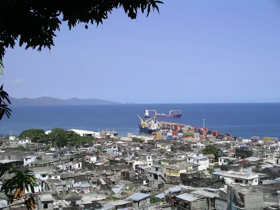
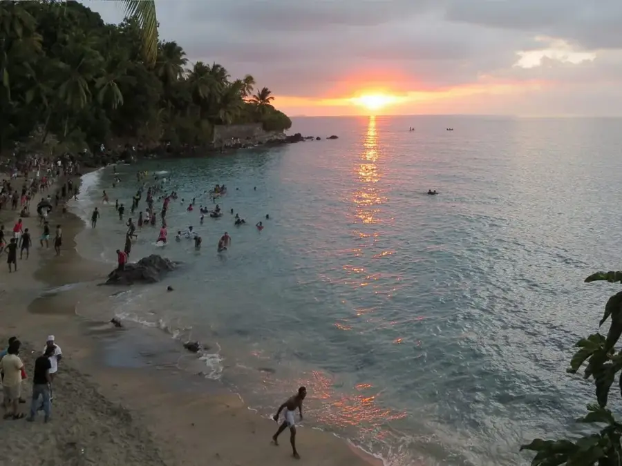
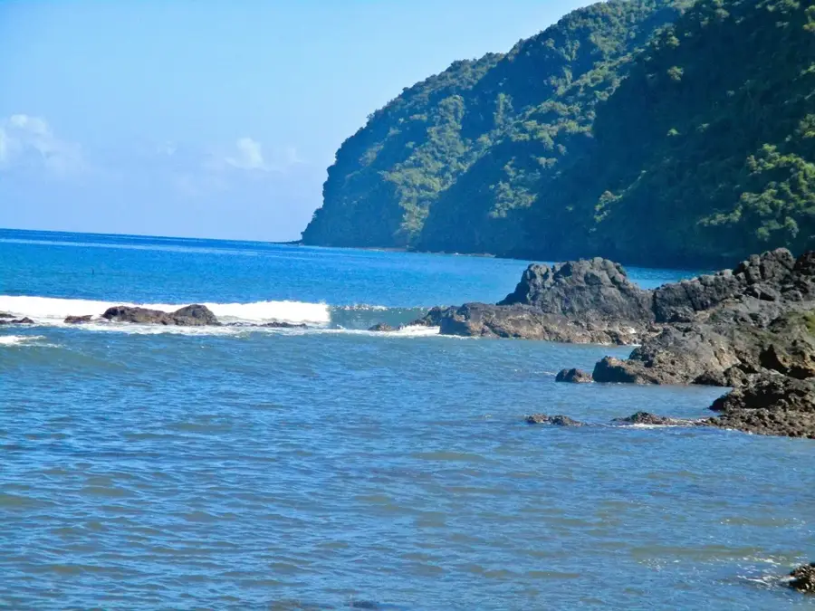
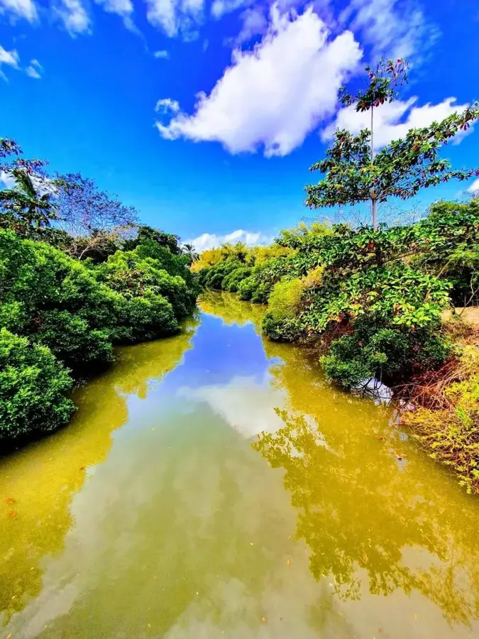
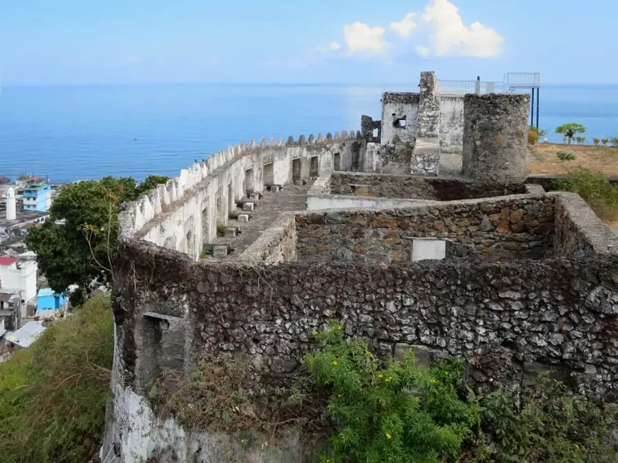
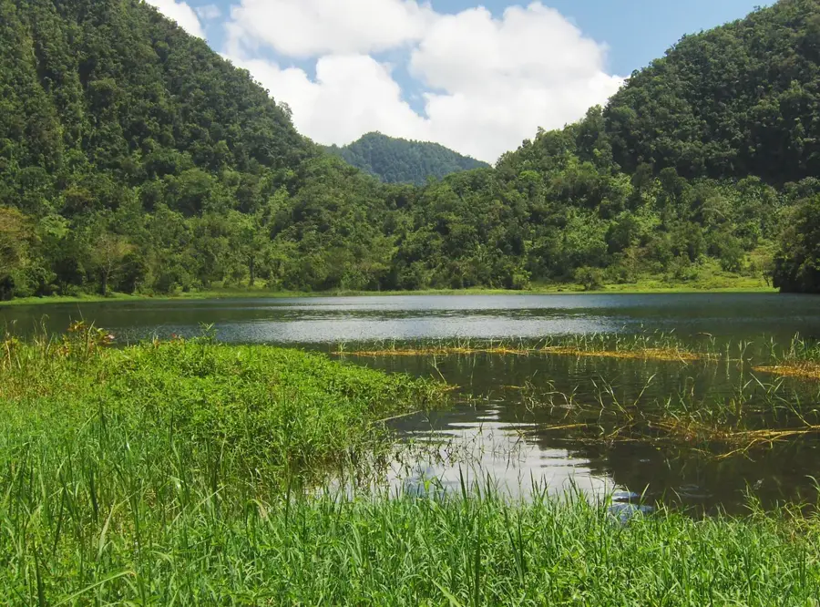
The Bimbini Peninsula is located on the southwestern coast of Anjouan Island (Ndzuani) in the Comoros and represents a highly sensitive ecological zone. This region is renowned for its extensive mangrove forests and the adjacent coral reef system, which together provide vital coastal protection against erosion. Geographically, the peninsula is characterized by a blend of volcanic rock formations and sandy shorelines, creating a good habitat for numerous marine and avian species. The peninsula plays a pivotal role in the local fishing economy, as the mangroves serve as a critical nursery for many commercially important fish species. In recent decades, conservation projects have been increasingly initiated to halt mangrove deforestation and safeguard the area's rich biological diversity. Historically, Bimbini served as a significant landmark for sailors navigating through the Mozambique Channel. Today, the region is also gaining importance for ecotourism, with a particular focus on monitoring sea turtles that utilize the beaches for nesting. Collaboration between local communities and international environmental organizations is essential for the long-term sustainable preservation of this unique coastal landscape.
- Location: Comoros
- Top sights: Mirongani · Geography of the Comoros · Comoro Islands
- Nearby: Bambao (17 km)
Best time to visit & climate
The most pleasant time to visit is Jul–Sep.
| Jan | Feb | Mar | Apr | May | Jun | Jul | Aug | Sep | Oct | Nov | Dec | |
|---|---|---|---|---|---|---|---|---|---|---|---|---|
| Avg °C | 28 | 28 | 28 | 28 | 27 | 26 | 25 | 25 | 25 | 26 | 27 | 28 |
| Rain mm | 222 | 162 | 150 | 119 | 58 | 33 | 27 | 21 | 19 | 36 | 50 | 108 |
📋 Practical info
Geography
Facts
- Hosts one of the largest contiguous mangrove areas on the island of Anjouan.
- Critical nesting ground for both Green and Hawksbill sea turtles.
- The coral reef off Bimbini acts as a buffer against powerful cyclones.
- Local communities have managed community-protected areas here since 2005.
- The peninsula is located approximately 15 kilometers south of the capital, Mutsamudu.
- Mangroves here sequester up to five times more carbon than terrestrial forests.
Explore nearby
Notable places around
Route planner — Car & Motorhome
Where do you start? We build the route here, with stops and country notes along the way.
© OpenStreetMap contributors · OpenRouteService
Sights in the town Bimbini Peninsula (3)
Sights nearby
Frequently asked questions
Where is the Bimbini Peninsula located?
What can you do in Bimbini?
Are the beaches there safe for swimming?
Is there tourist infrastructure there?
What is the terrain like?
Bimbini Peninsula: where is it located?
Bimbini Peninsula: what is there to see?
Bimbini Peninsula: when is the best time to visit?
Bimbini Peninsula: why is it worth visiting?

Nearby cities


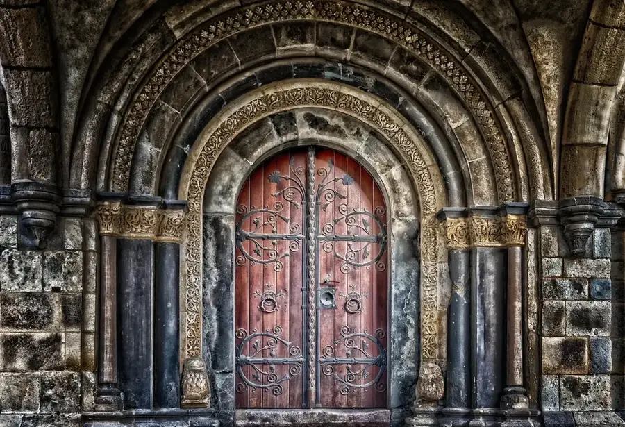
History & landmarks

Nature
More places