Plizio Visual Lab
Lake Dzialandzé
Weather…
Water temperature…
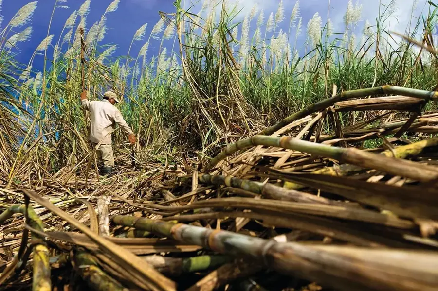
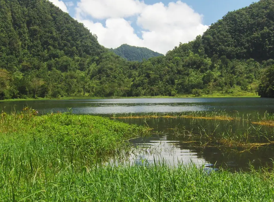
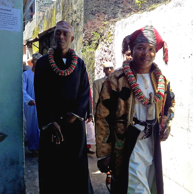
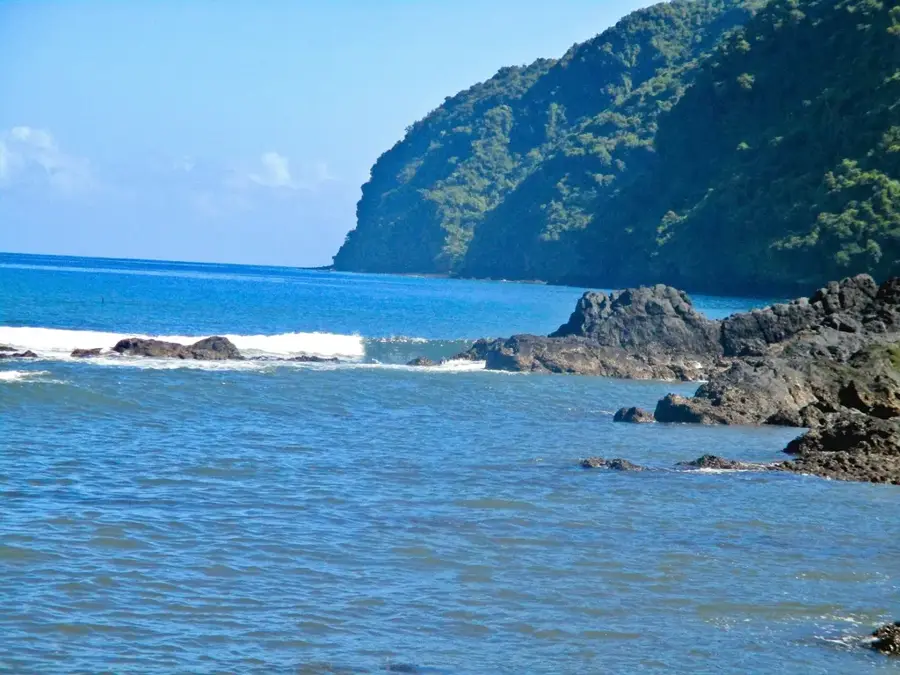
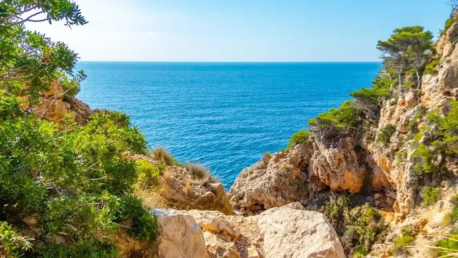
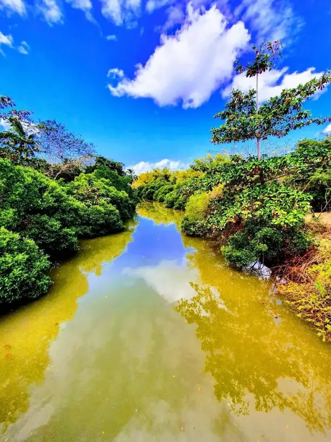
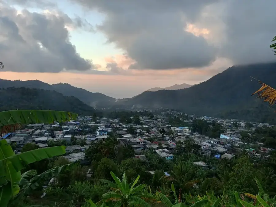
Lake Dzialandzé is a significant high-altitude lake on Anjouan island, situated on the slopes of Mount Ntingui at an elevation of about 900 meters. As one of the few permanent freshwater reservoirs in the archipelago, it is of vital ecological and hydrological importance. The lake is protected as a Ramsar site, providing a unique habitat for numerous waterbirds and rare amphibians. Surrounded by dense primary forest, the lake helps regulate the water balance for lower-lying regions and secures the drinking water supply for the city of Mutsamudu. The lake's calm surface often reflects the surrounding forested slopes, creating a peaceful, almost mystical atmosphere. Biologists value the area for its high concentration of endemic plant species that flourish in the humid highland climate. Treks to the lake follow steep paths that offer insights into Anjouan's traditional agriculture and the untouched nature of the island's interior. Preserving this ecosystem is a priority for local conservation efforts to maintain water quality and biodiversity for future generations.
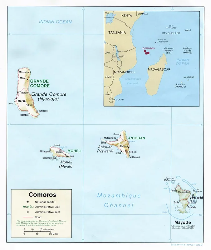
- Location: Comoros
- Top sights: Anjouan · Dzidri-I · Dindri
- Nearby: Bambao (4 km)
Best time to visit & climate
The most pleasant time to visit is Jul–Sep.
| Jan | Feb | Mar | Apr | May | Jun | Jul | Aug | Sep | Oct | Nov | Dec | |
|---|---|---|---|---|---|---|---|---|---|---|---|---|
| Avg °C | 28 | 28 | 28 | 28 | 27 | 26 | 25 | 25 | 25 | 26 | 27 | 28 |
| Rain mm | 222 | 162 | 150 | 119 | 58 | 33 | 27 | 21 | 19 | 36 | 50 | 108 |
📋 Practical info
Geography
Facts
- The lake has been a Ramsar wetland of international importance since 1995.
- It provides the majority of drinking water for Anjouan's capital city.
- The lake's depth fluctuates significantly based on seasonal rainfall.
- Lake Dzialandzé is a key breeding site for the Madagascar little grebe.
- The lake is situated in a natural depression of volcanic origin.
- It is surrounded by the last remnants of Anjouan's primary mountain rainforest.
Explore nearby
Notable places around
Route planner — Car & Motorhome
Where do you start? We build the route here, with stops and country notes along the way.
© OpenStreetMap contributors · OpenRouteService
Sights in the town Lake Dzialandzé (3)
Sights nearby
Frequently asked questions
Is Lake Dzialandzé easy to find?
Is the lake considered a sacred place?
Is fishing allowed in the lake?
How is the water quality?
Are there rare animals at the lake?
Lake Dzialandzé: where is it located?
Lake Dzialandzé: what is there to see?
Lake Dzialandzé: when is the best time to visit?
Lake Dzialandzé: why is it worth visiting?

Nearby cities


History & landmarks

Nature
More places