Plizio Visual Lab
Cordillera Oriental (Colombia)
Weather…
Water temperature…
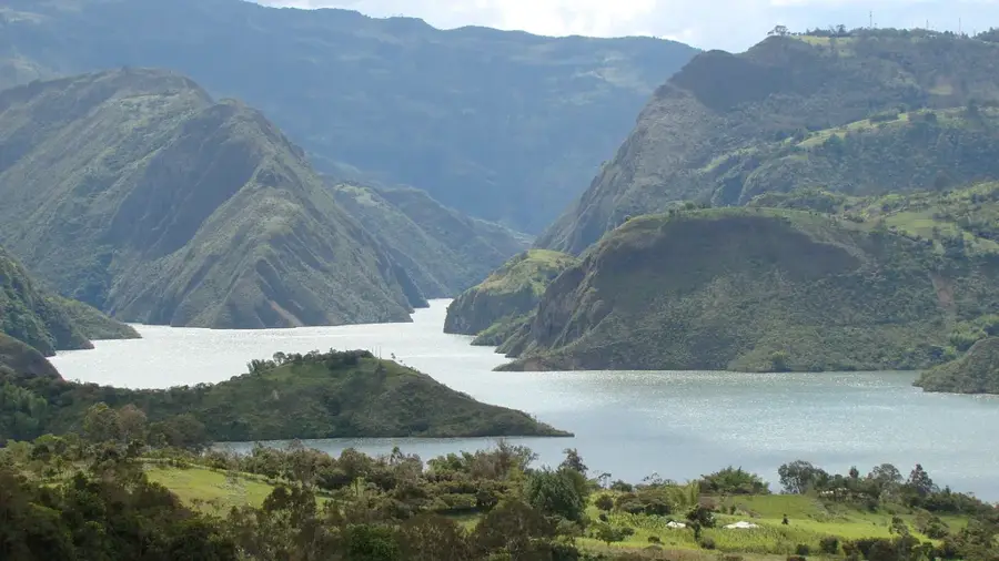
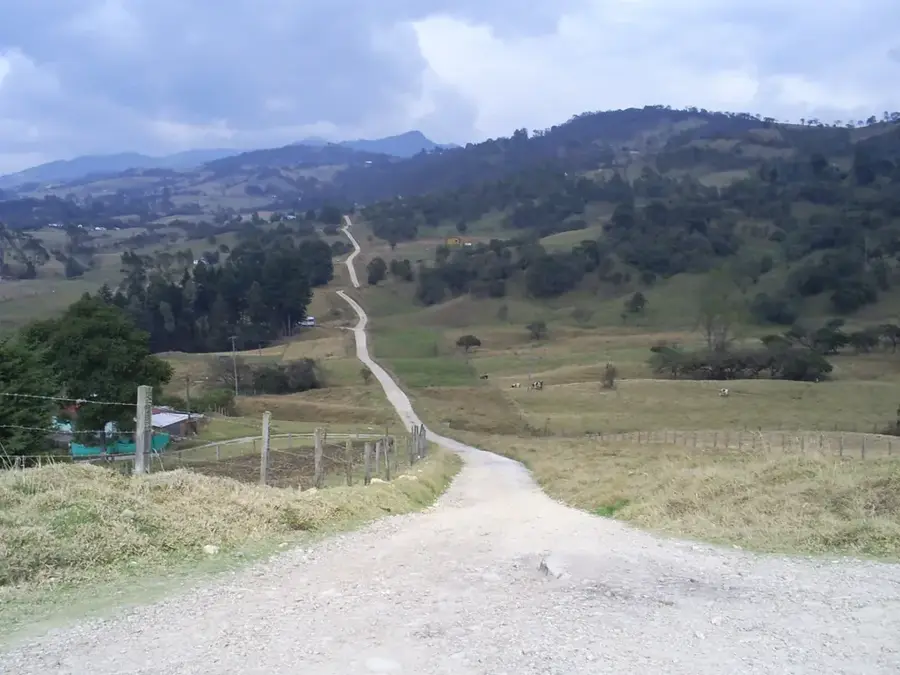
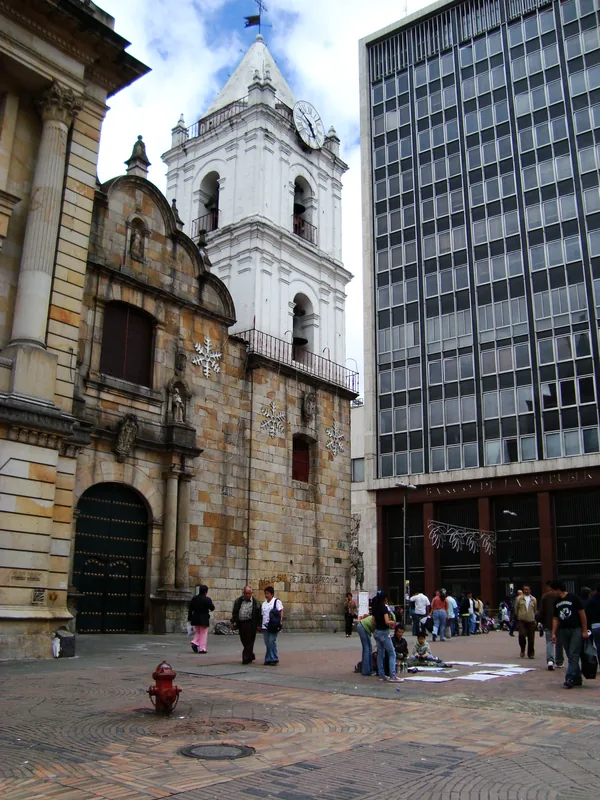
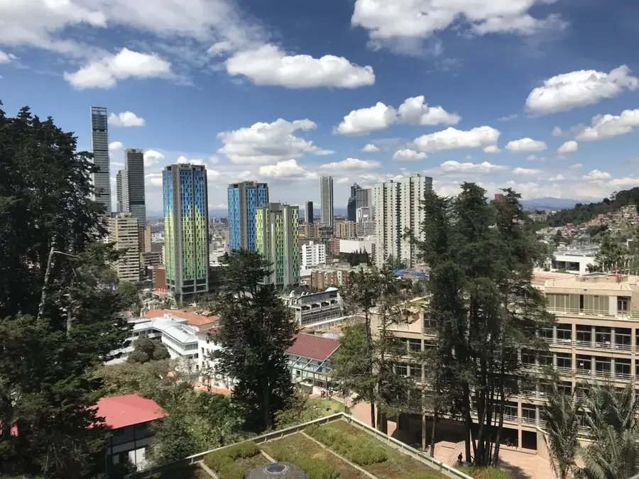
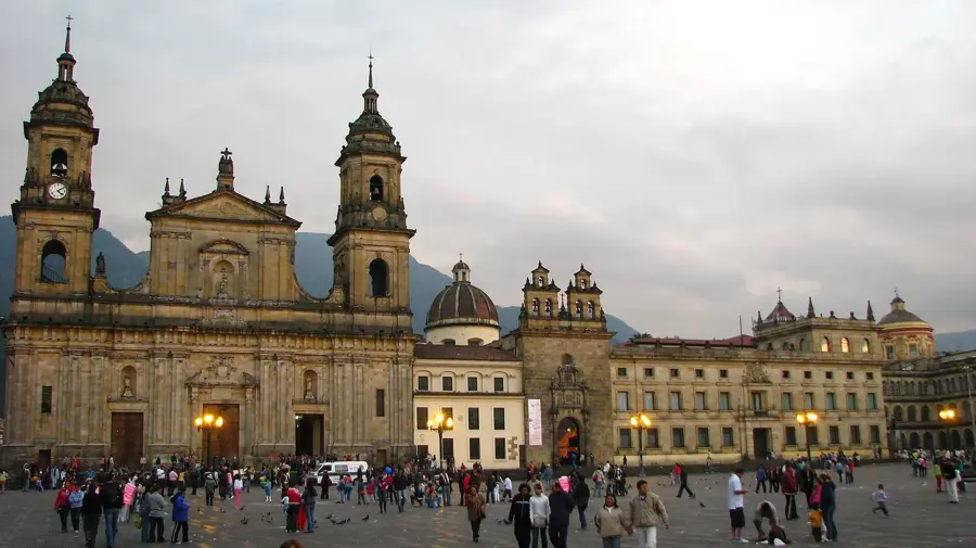
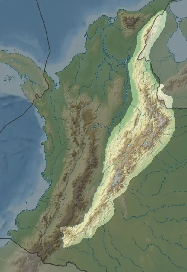
The Cordillera Oriental is the longest and widest branch of the Colombian Andes, stretching from the massif in the south to the border with Venezuela in the north. One of its most distinctive geographical features is the Altiplano Cundiboyacense, a vast plateau where the capital city of Bogotá is located. This plateau was the cradle of the Muisca civilization and remains the political and economic heart of the country today. The highest peak in the range is Ritacuba Blanco at 5,410 meters in the Sierra Nevada del Cocuy, an area known for its spectacular glacial lakes and rugged rock faces. The Cordillera Oriental hosts a variety of ecosystems, from the semi-arid areas of the Chicamocha Canyon to the humid cloud forests on the eastern slopes descending toward the Orinoco basin. Geologically, the range consists mainly of sedimentary rocks of marine origin, indicating its formation from an ancient sea. The region is rich in mineral resources such as coal and emeralds, with the latter being among the highest quality in the world. Agriculture also plays a major role, particularly in the cooler highlands where potatoes, grains, and flowers are cultivated.
- Location: Colombia
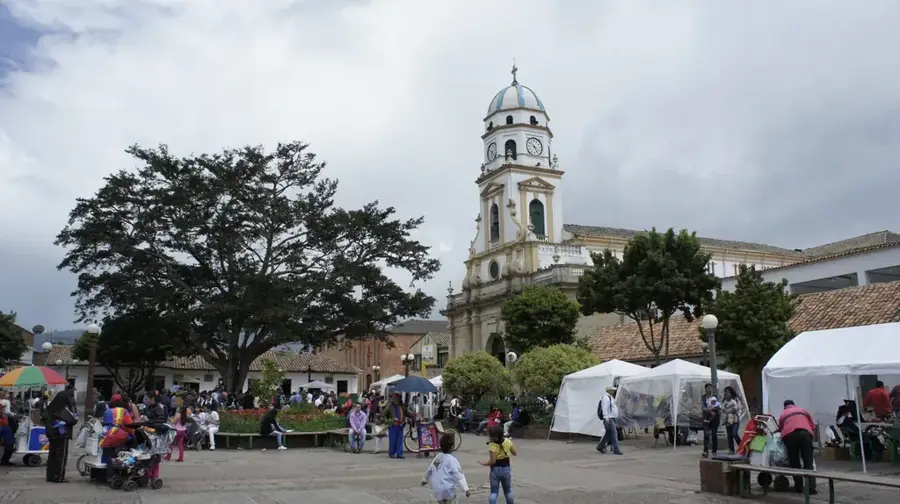
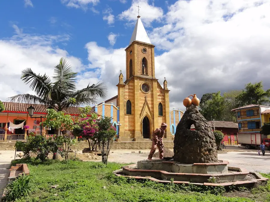
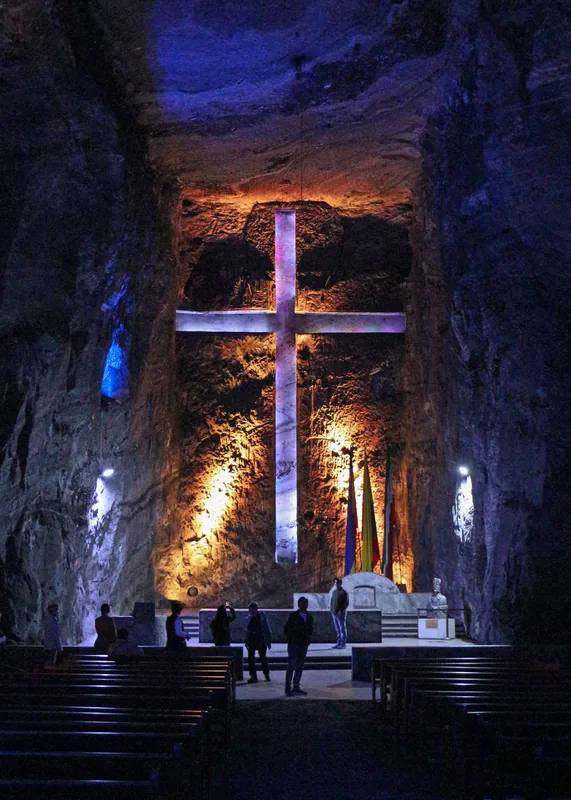
- Top sights: Panorámica Samacá · Museo Municipal · Capilla del Voto.
- Nearby: Guatavita (41 km)
Best time to visit & climate
The most pleasant time to visit is Jan, Feb, Dec.
| Jan | Feb | Mar | Apr | May | Jun | Jul | Aug | Sep | Oct | Nov | Dec | |
|---|---|---|---|---|---|---|---|---|---|---|---|---|
| Avg °C | 15 | 16 | 16 | 16 | 16 | 15 | 15 | 15 | 15 | 15 | 15 | 15 |
| Rain mm | 43 | 60 | 119 | 192 | 195 | 151 | 132 | 120 | 112 | 180 | 162 | 87 |
📋 Practical info
Geography
Facts
- Longest and widest of the three branches
- Home to the capital city, Bogotá
- Highest point: Ritacuba Blanco (5,410 m)
- Region is world-famous for emeralds
- Location of the Chicamocha Canyon
- Sedimentary rocks point to a marine origin
Explore nearby
Notable places around
Route planner — Car & Motorhome
Where do you start? We build the route here, with stops and country notes along the way.
© OpenStreetMap contributors · OpenRouteService
Sights in the town Cordillera Oriental (Colombia) (4)
Sights nearby
Frequently asked questions
Where is the Eastern Cordillera located?
Is the capital Bogotá located in these mountains?
What is a páramo?
How high is the highest peak?
Are there national parks there?
Cordillera Oriental (Colombia): where is it located?
Cordillera Oriental (Colombia): what is there to see?
Cordillera Oriental (Colombia): when is the best time to visit?
Cordillera Oriental (Colombia): why is it worth visiting?

Nearby cities
History & landmarks
Nature
More places