Plizio Visual Lab
Facatativá
ℹ️Practical info — Facatativá
▾
🌤 Weather — 5 days
📍 Nearby
Sights nearby
💡 Tips
- The city sits at over 2500 meters altitude; drink plenty of water and take it easy on your first day.
- Buses to Bogotá are frequent, but avoid traveling during rush hours to escape traffic jams.
- Mornings can be quite chilly, so dressing in layers is highly recommended.
- Visit the archaeological park on a weekday to have the impressive rocks mostly to yourself.
🍽 Food
A hearty potato and chicken soup you can find in traditional restaurants near the main square.
Try these sweet and savory cheese-filled corn cakes at the local bakeries.
Thin wafers filled with caramel (arequipe), sold from street carts around the center.
🛍 Shopping · 🧘 Quiet spots
Buy fresh Andean fruits like lulo or curuba from the market stalls.
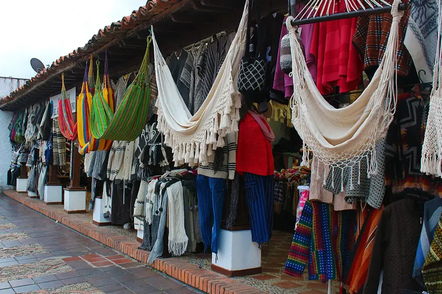
Find small, handmade souvenirs in the shops surrounding the Plaza Principal.
A sprawling natural park with ancient rock art, first-rate for a quiet afternoon.
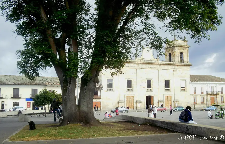
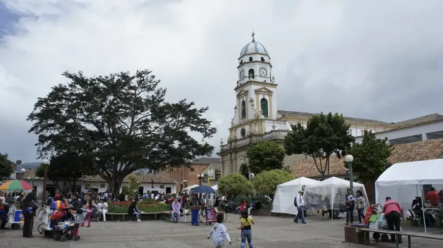
Enjoy the tranquility of the central square before the town fully wakes up.
Water temperature…
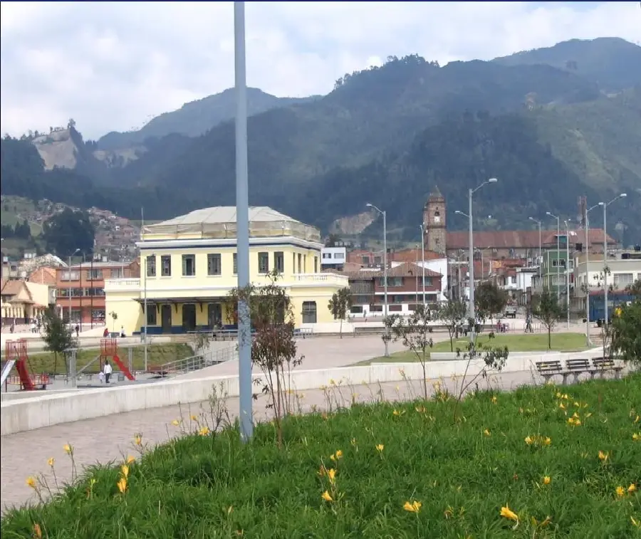
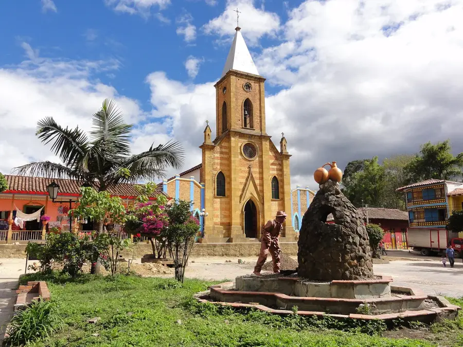
Facatativá, located on the western edge of the Bogotá plateau in the Cundinamarca Department, is a city with deep indigenous roots and significant economic dynamism. Founded in 1600, it was once a major center for the Muisca people, evidenced today by the Piedras del Tunjo Archaeological Park, which features impressive rock paintings and massive geological formations. Today, Facatativá is a cornerstone of the Colombian flower industry, an sector that provides thousands of jobs and exports products globally. Situated at an altitude of nearly 2,600 meters, the city enjoys a cool highland climate good for agriculture. Beyond floriculture, the region is a major producer of potatoes, vegetables, and grains. Facatativá acts as a vital gateway between the capital, Bogotá, and the Magdalena River valley, making it a strategic commercial hub. The city successfully integrates its rich archaeological heritage with a modern, export-driven economy and a growing urban population.
- Location: Colombia
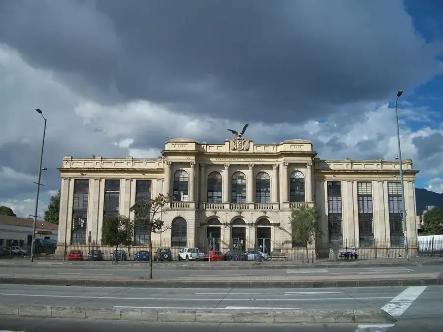
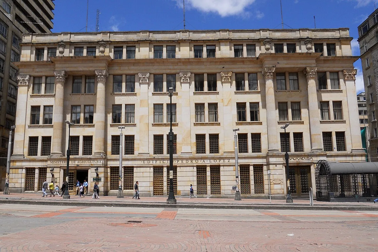
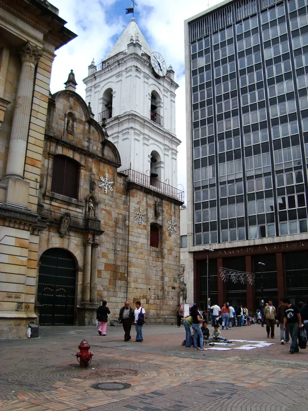
- Top sights: Antigua Harinera San Carlos · Parque Tematico Kyqa Mhuysqa · Teatro Municipal
- Nearby: Soacha (17 km)
- Population: ~141.762 (2022)
Best time to visit & climate
The most pleasant time to visit is Jan, Feb, Sep.
| Jan | Feb | Mar | Apr | May | Jun | Jul | Aug | Sep | Oct | Nov | Dec | |
|---|---|---|---|---|---|---|---|---|---|---|---|---|
| Avg °C | 21 | 21 | 21 | 21 | 21 | 20 | 21 | 21 | 21 | 20 | 20 | 20 |
| Rain mm | 45 | 69 | 117 | 183 | 173 | 132 | 108 | 92 | 93 | 165 | 147 | 90 |
Geography
Facts
- Founded on July 3, 1600, by the Spanish official Diego Gómez de Mena.
- The Piedras del Tunjo Archaeological Park preserves ancient Muisca rock art.
- Located at an average elevation of 2,586 meters above sea level.
- Situated approximately 36 kilometers northwest of the capital, Bogotá.
- One of Colombia's largest hubs for the cultivation and export of cut flowers.
- Served as a critical resting point during colonial times on the route to the Magdalena River.
Explore nearby
Notable places around
Route planner — Car & Motorhome
Where do you start? We build the route here, with stops and country notes along the way.
© OpenStreetMap contributors · OpenRouteService
Sights in the town Facatativá (8)
Frequently asked questions
What is the main attraction?
How is the climate in Facatativá?
How far is it from Bogotá?
What is the economic base?
Can you go hiking there?
Facatativá: where is it located?
Facatativá: what is there to see?
Facatativá: when is the best time to visit?
Facatativá: why is it worth visiting?

Nearby cities
History & landmarks
Nature
More places