Plizio Visual Lab
Lake Guatavita
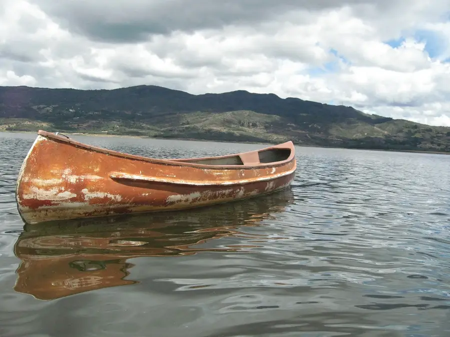
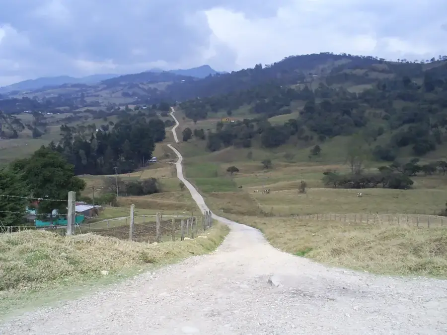
Lake Guatavita is situated in the municipality of Sesquilé, within the Cundinamarca department of Colombia, at an elevation of approximately 3,100 meters above sea level in the Eastern Cordillera of the Andes. The lake features a strikingly circular shape surrounded by steep slopes, a formation that was historically misinterpreted as a volcanic crater but is now understood as a geological depression. This site is world-renowned as the sacred lake of the Muisca people and the primary source of the El Dorado legend, where new chiefs were reportedly covered in gold dust before diving into the water to offer treasures to their gods. In 1537, Spanish conquistadors led by Gonzalo Jiménez de Quesada arrived at the lake, marking the beginning of centuries of drainage attempts to recover sunken artifacts. One notable effort occurred in 1911 when British engineer Hartley Knowles managed to lower the water level significantly but faced insurmountable mud. Today, the lake is a protected natural reserve, preventing further excavations and preserving the high-altitude páramo environment. The surrounding forest is home to unique flora, including various species of frailejones and high-mountain orchids.
- Location: Colombia
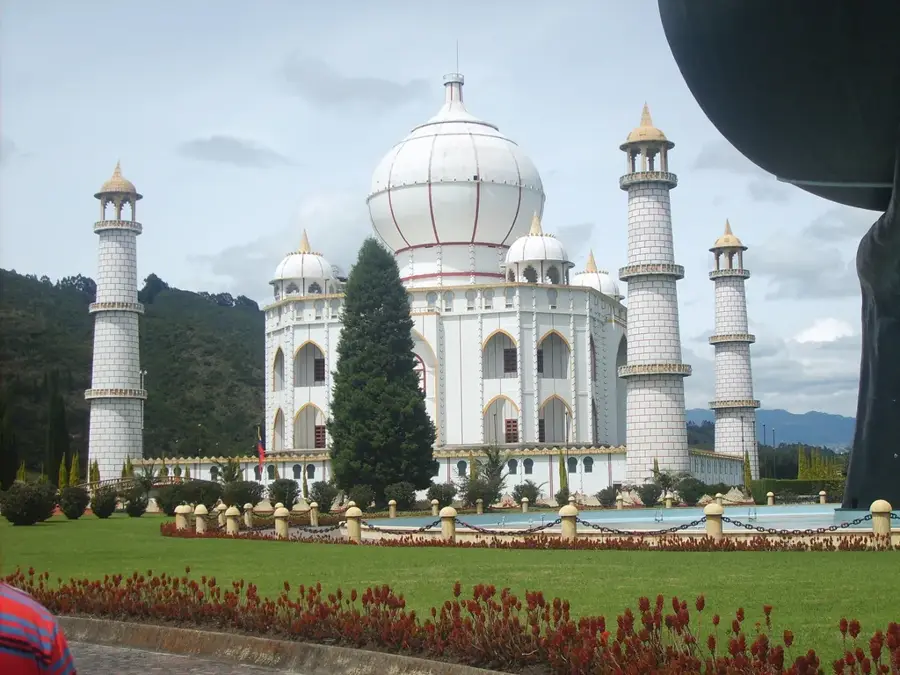
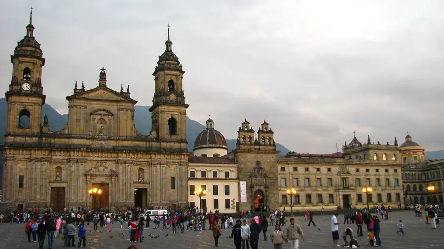
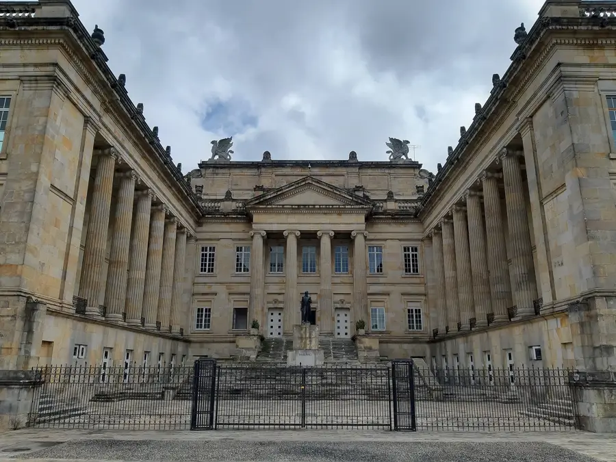
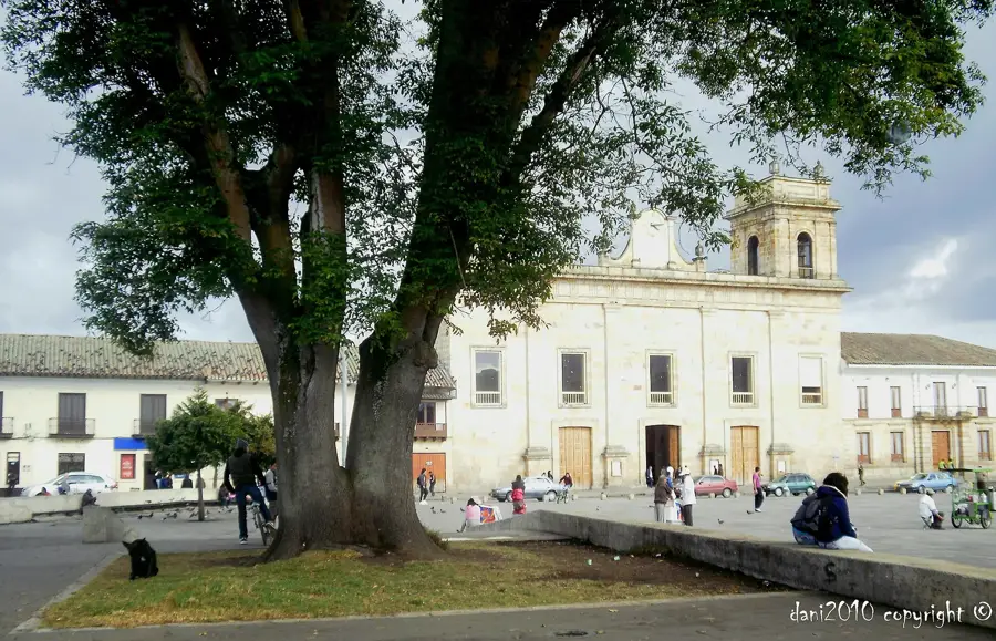
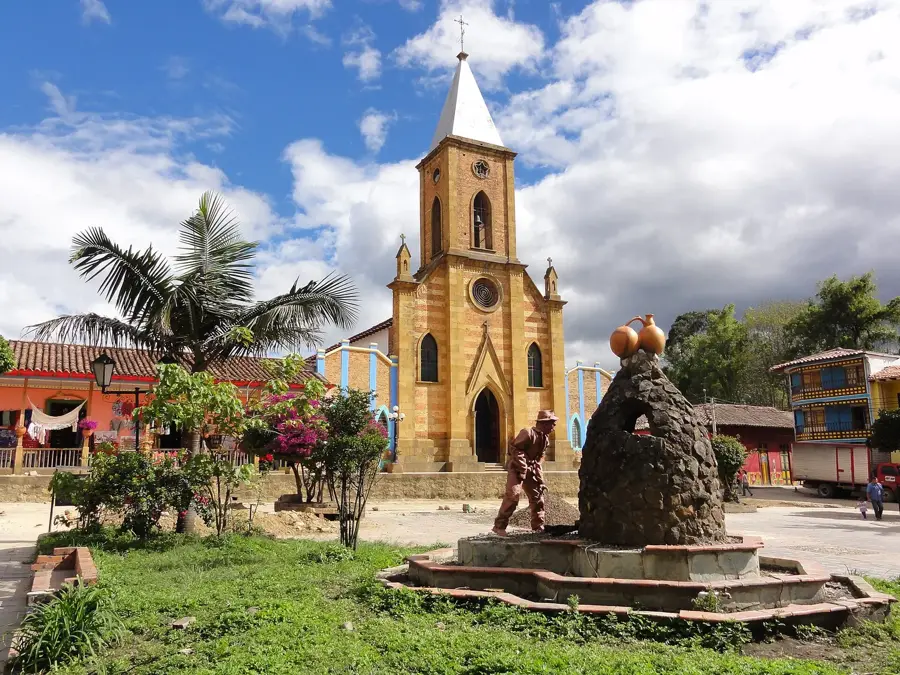
- Top sights: El Castillo del Cerezo · Parque agroecologico Macanú · Saltamontodromo
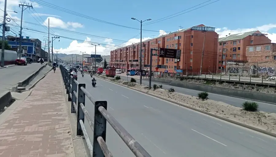
- Nearby: Zipaquirá (21 km)
Best time to visit & climate
The most pleasant time to visit is Jan, Feb, Dec.
| Jan | Feb | Mar | Apr | May | Jun | Jul | Aug | Sep | Oct | Nov | Dec | |
|---|---|---|---|---|---|---|---|---|---|---|---|---|
| Avg °C | 14 | 14 | 14 | 14 | 14 | 13 | 13 | 13 | 13 | 14 | 14 | 14 |
| Rain mm | 38 | 61 | 128 | 221 | 230 | 188 | 163 | 134 | 119 | 192 | 174 | 96 |
📋 Practical info
Geography
Facts
- Located at 3,100 meters above sea level in Sesquilé.
- Focal point of the Muisca ritual that inspired El Dorado.
- First reached by Spanish conquistadors in 1537.
- A major drainage attempt was led by the British in 1911.
- The Muisca Golden Raft was found in nearby Pasca in 1969.
- The lake has a diameter of roughly 700 meters.
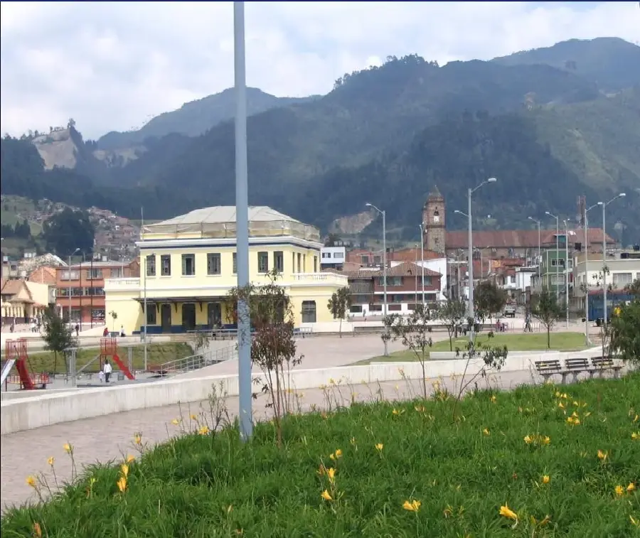
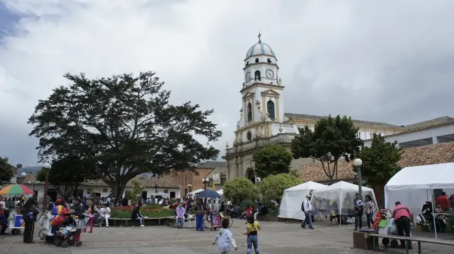
Explore nearby
Notable places around
Route planner — Car & Motorhome
Where do you start? We build the route here, with stops and country notes along the way.
© OpenStreetMap contributors · OpenRouteService
Sights in the town Lake Guatavita (9)
Sights nearby
Frequently asked questions
What is the lake famous for?
Is swimming allowed?
How was the lake formed?
Are there guided tours?
Where is it located?
Lake Guatavita: where is it located?
Lake Guatavita: what is there to see?
Lake Guatavita: when is the best time to visit?
Lake Guatavita: why is it worth visiting?

Nearby cities

History & landmarks
More places