Plizio Visual Lab
Sangmélima
ℹ️Practical info — Sangmélima
▾
🌤 Weather — 5 days
📍 Nearby
Sights nearby
💡 Tips
- Known as a gateway to the Dja Faunal Reserve; a UNESCO World Heritage site requiring permits and a guide.
- The climate is equatorial: hot, humid, and prone to sudden downpours.
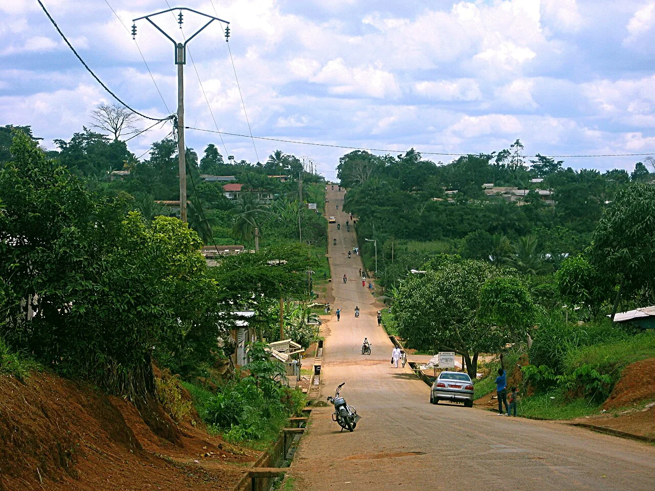
- It is the hometown of former President Paul Biya, resulting in some well-maintained central roads.
- Malaria prophylactics are a must due to the dense forest environment.
- Try to hire eco-guards locally for any jungle excursions.
🍽 Food
Meat or fish cooked in banana leaves with local spices, a true forest specialty.
A savory pudding made from egusi seeds, found in traditional eateries.
Look for wild mangoes and other exotic fruits at the local market.
🛍 Shopping · 🧘 Quiet spots
Excellent for buying fresh forest produce, local spices, and traditional remedies.
The region is known for its timber; look for small, sustainably carved souvenirs.
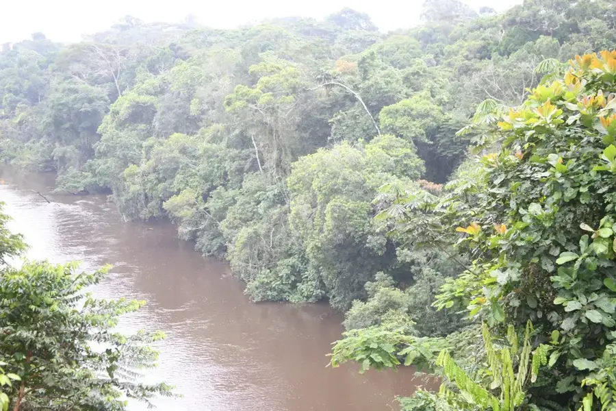
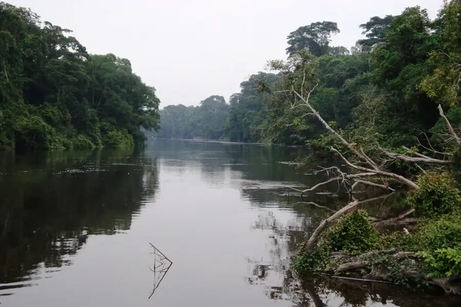
The river flows through the town, offering peaceful spots to watch the water.
Even just approaching the reserve boundaries provides an incredibly serene and wild atmosphere.
Water temperature…
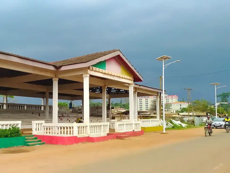
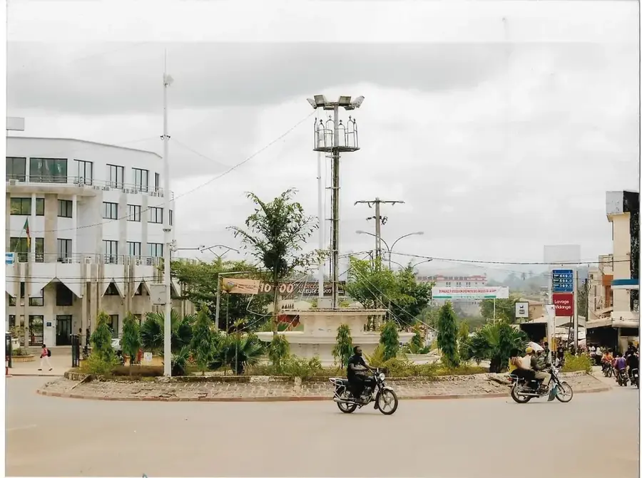
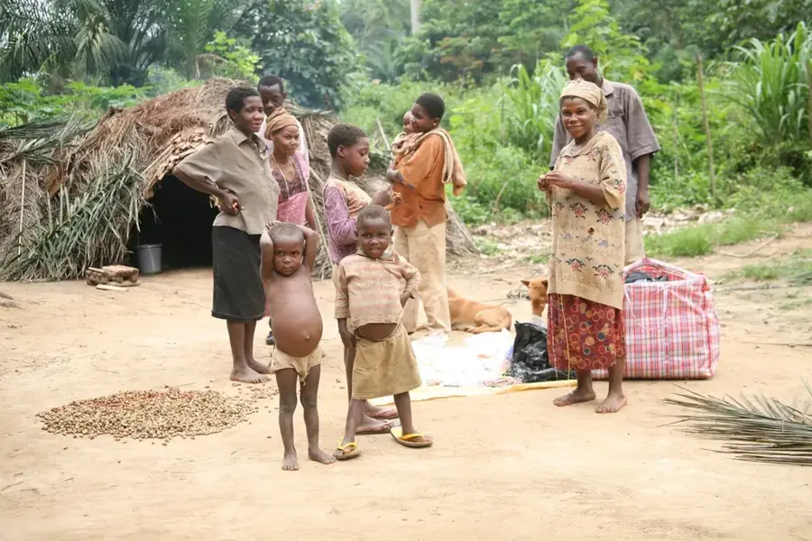
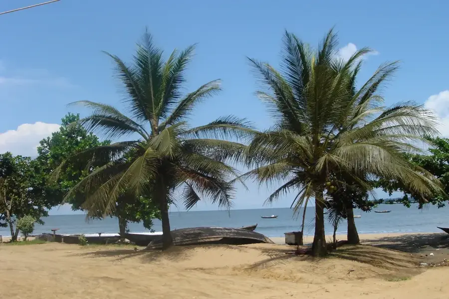
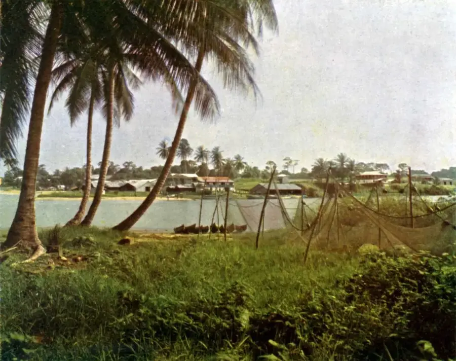
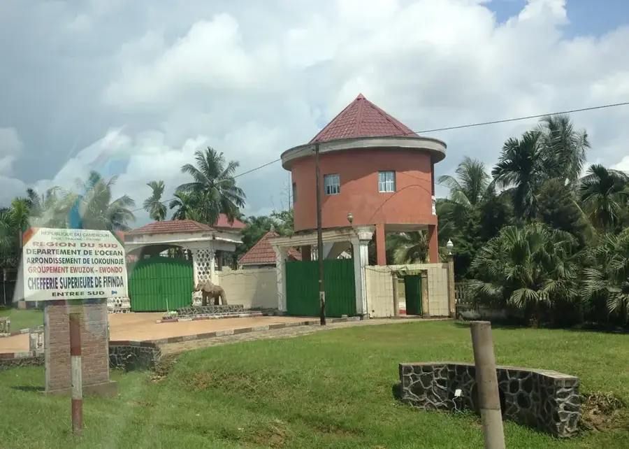
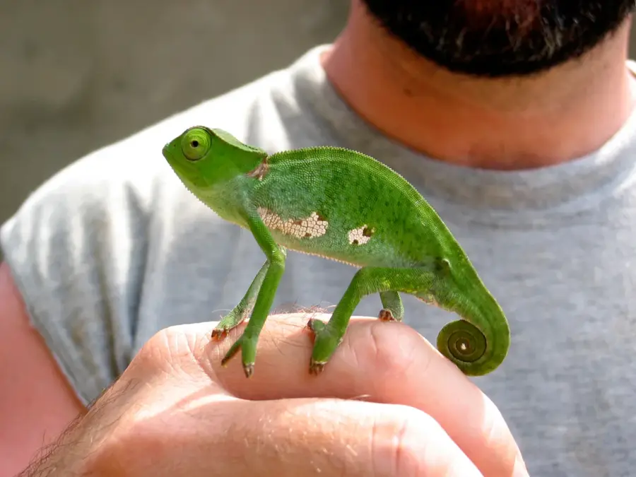
Sangmélima is the capital of Dja-et-Lobo Department in the South Region, set in equatorial rainforest about 130 kilometres south-east of Yaoundé. Home to roughly 60 000 inhabitants, the town hosts political allies of President Paul Biya and is a cultural centre for the Bulu people. It is surrounded by dense forests and cocoa and palm-oil plantations, and the timber trade, iroko, sapele, sipo, is a major source of income. Notable sites include Saint-Joseph cathedral, the Mvog-Mbi cultural centre and the central market. Sangmélima is the terminus of National Road N9 to Mintom, making it the gateway to the Republic of Congo and to the UNESCO-listed Dja Reserve. The humid equatorial climate with two rainy seasons sustains rich biodiversity, including Goliath frogs, mandrills and rare orchids.
- Location: Cameroon
- Top sights: Sangmélima · Diocese of Sangmélima · Dja-et-Lobo
- Nearby: Mbalmayo (83 km)
- Population: ~80.036 (2023)
Best time to visit & climate
The most pleasant time to visit is Jan, Feb, Dec.
| Jan | Feb | Mar | Apr | May | Jun | Jul | Aug | Sep | Oct | Nov | Dec | |
|---|---|---|---|---|---|---|---|---|---|---|---|---|
| Avg °C | 24 | 24 | 24 | 24 | 23 | 23 | 23 | 22 | 22 | 23 | 23 | 23 |
| Rain mm | 22 | 52 | 132 | 176 | 159 | 122 | 108 | 162 | 218 | 248 | 153 | 31 |
Geography
Facts
- Important administrative capital of the Dja-et-Lobo division.
- Vital hub for the local cocoa and timber trade.
- Connected to a wider network of rural forest communities.
- Strategically located in the southern tropical forest zone.
- Known for its steady urban growth and regional commercial activity.
- Essential node in the transportation infrastructure of Southern Cameroon.
Explore nearby
Notable places around
Route planner — Car & Motorhome
Where do you start? We build the route here, with stops and country notes along the way.
© OpenStreetMap contributors · OpenRouteService
Sights in the town Sangmélima (3)
Frequently asked questions
Where is Sangmélima located?
What is the economic base?
Are there any sights?
What is the weather like?
How do you get there?
Sangmélima: where is it located?
Sangmélima: what is there to see?
Sangmélima: when is the best time to visit?
Sangmélima: why is it worth visiting?

Nearby cities

History & landmarks
Nature
More places