Plizio Visual Lab
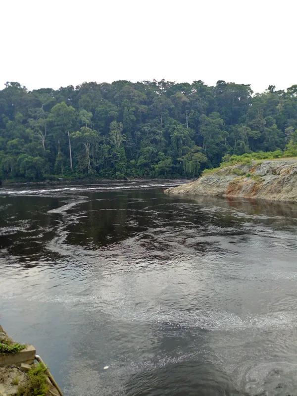
Ntem River
Weather…
Water temperature…
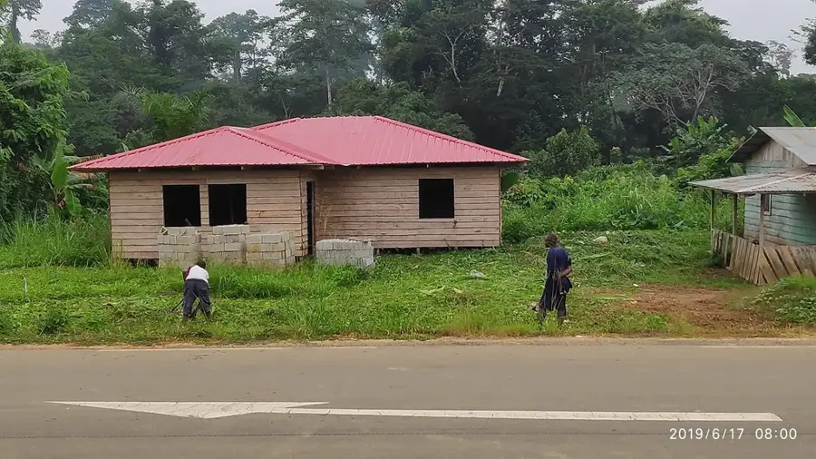
The Ntem River, also known as the Campo River in its lower reaches, is a major international waterway that forms the northern natural border between Cameroon and Equatorial Guinea. Flowing through dense tropical rainforests, the river is known for its high levels of biodiversity and its significant fish populations, which support the livelihoods of many riverside communities. The river's course is marked by numerous rapids and scenic bends as it travels towards the Atlantic Ocean. The Ntem estuary is a complex ecosystem of mangroves and wetlands, providing essential habitats for rare wildlife, including West African manatees. It remains an important cultural and economic link between the two neighboring nations. Curriculum: Geography K6, Biology K7.
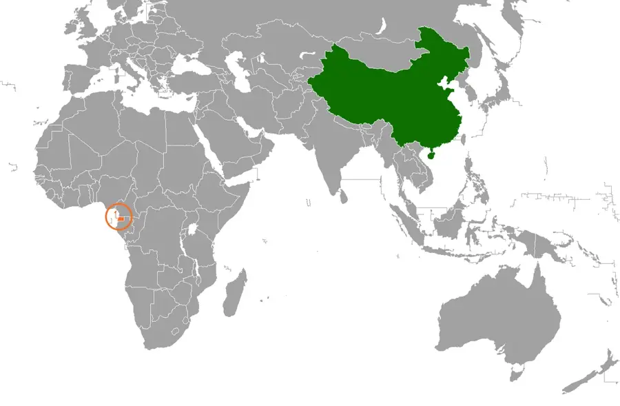
- Location: Equatorial Guinea
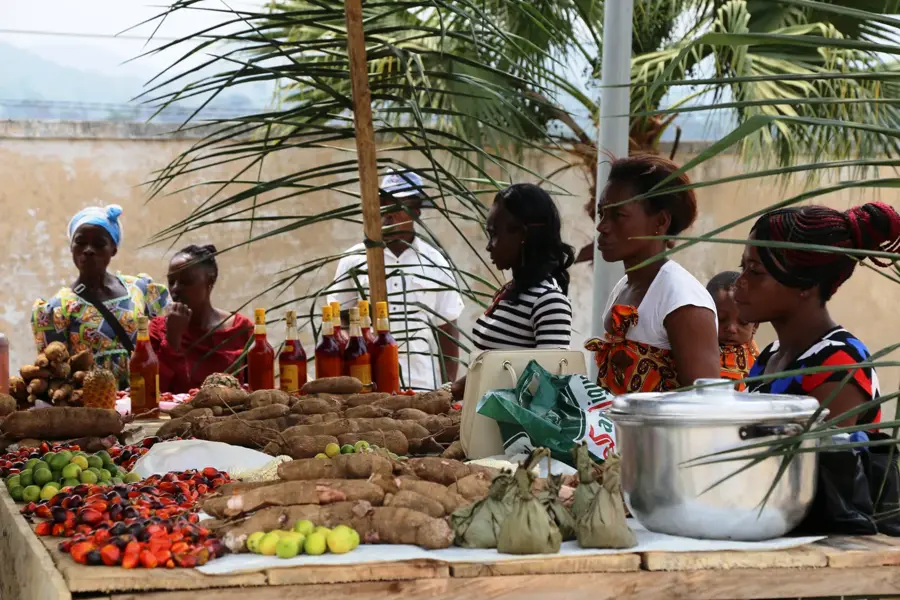
- Nearby: Nsang (61 km)
Best time to visit & climate
The most pleasant time to visit is Jan, Jul, Dec.
| Jan | Feb | Mar | Apr | May | Jun | Jul | Aug | Sep | Oct | Nov | Dec | |
|---|---|---|---|---|---|---|---|---|---|---|---|---|
| Avg °C | 24 | 24 | 24 | 24 | 24 | 23 | 23 | 22 | 23 | 23 | 23 | 24 |
| Rain mm | 42 | 73 | 168 | 182 | 162 | 105 | 74 | 114 | 182 | 257 | 186 | 60 |
📋 Practical info
Geography
Facts
- Forms the northern international border with Cameroon.
- Known for its exceptional diversity of freshwater fish species.
- Flows through some of the region's most pristine rainforests.
- The lower reaches are famously known as the Rio Campo.
- Key habitat for the endangered West African manatee.
- Essential for regional artisanal fishing and transportation.
- Features numerous rapids and beautiful estuary mangroves.
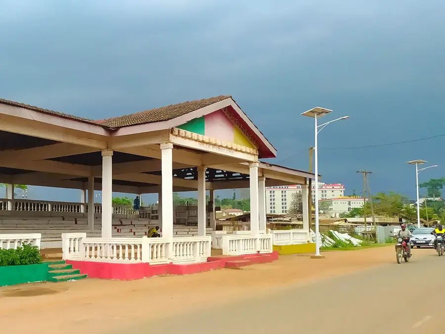
Explore nearby
Notable places around
Route planner — Car & Motorhome
Where do you start? We build the route here, with stops and country notes along the way.
© OpenStreetMap contributors · OpenRouteService
Sights nearby
Frequently asked questions
Where is the Ntem River located?
Can you cross the river?
What fish species can be found here?
How do you reach the river?
Are there guided nature tours?
Ntem River: where is it located?
Ntem River: when is the best time to visit?
Ntem River: why is it worth visiting?

Nearby cities


Nature

More places