Plizio Visual Lab
Ntem Hills

Weather…
Water temperature…
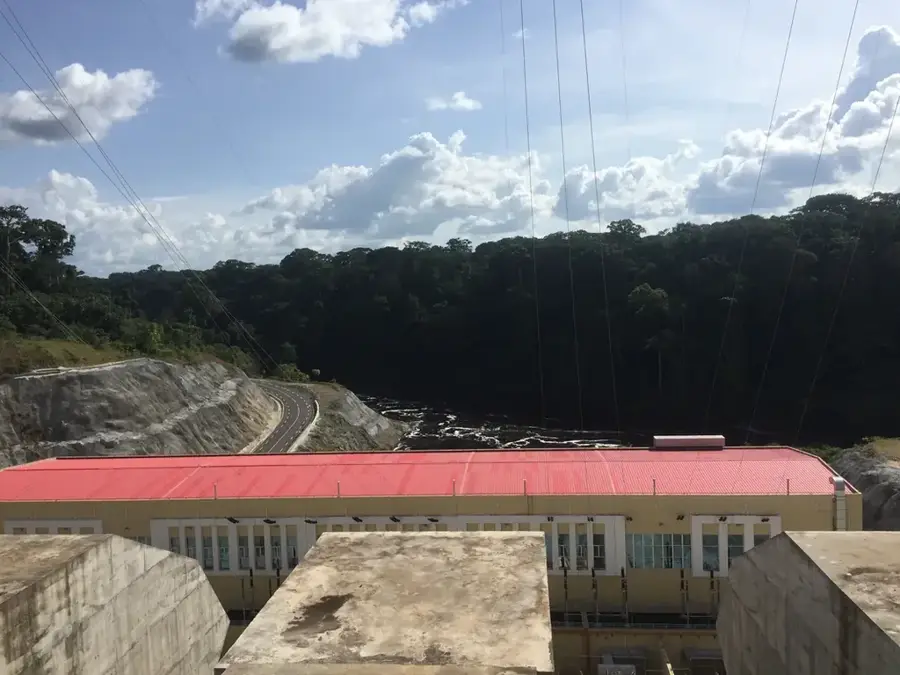
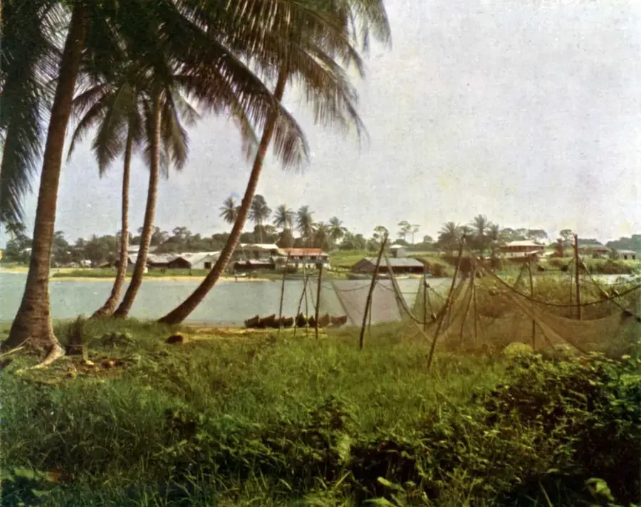
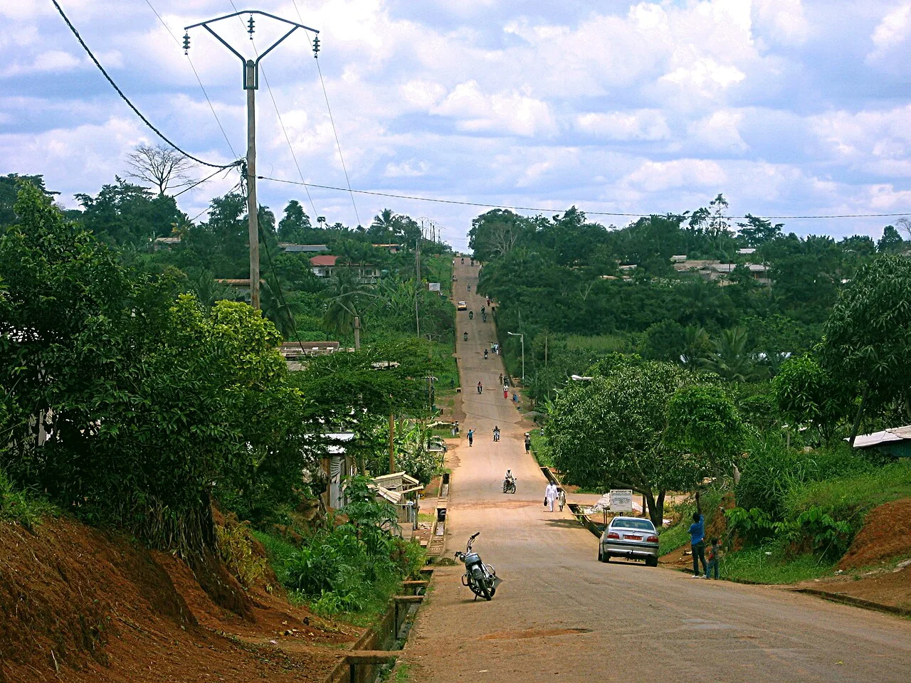
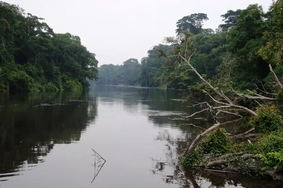
The Ntem Hills form a gentle mid-altitude landscape in southern Cameroon, near the borders with Equatorial Guinea and Gabon. Geologically, these elevations are part of the South Cameroon Plateau and consist of very ancient crystalline rocks from the Precambrian shield. The region is named after the Ntem River, which winds through the hills and has geomorphologically shaped the landscape. The vegetation primarily consists of dense equatorial rainforest, distinguished by an enormous biodiversity of trees and medicinal plants. The area is characterized less by rugged peaks and more by wide, forested hill ranges that form an important ecological bridge between the various forest ecosystems of Central Africa. Historically, the region was a significant refuge and trade route for local communities such as the Ntumu people. Today, the area is known for its forestry resources and potential for sustainable agriculture, with the protection of the remaining primary forests gaining increasing importance.
Best time to visit & climate
The most pleasant time to visit is Jan, Jul, Dec.
| Jan | Feb | Mar | Apr | May | Jun | Jul | Aug | Sep | Oct | Nov | Dec | |
|---|---|---|---|---|---|---|---|---|---|---|---|---|
| Avg °C | 24 | 24 | 24 | 24 | 24 | 23 | 23 | 22 | 23 | 23 | 23 | 24 |
| Rain mm | 42 | 73 | 168 | 182 | 162 | 105 | 74 | 114 | 182 | 257 | 186 | 60 |
📋 Practical info
Geography
Facts
- The hills reach average elevations of 600 to 800 meters.
- The Ntem River marks part of the international border.
- The region hosts a high density of ebony and mahogany trees.
- The area is located in the heart of the Tridom conservation complex.
- Rainfall occurs here on more than 180 days a year.
- The geology belongs to the Congo Craton, one of the most stable crusts on Earth.
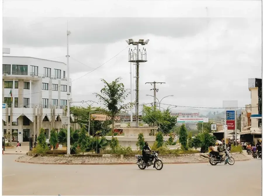
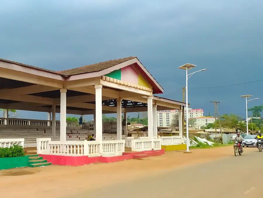
Explore nearby
Notable places around
Route planner — Car & Motorhome
Where do you start? We build the route here, with stops and country notes along the way.
© OpenStreetMap contributors · OpenRouteService
Sights nearby
Frequently asked questions
What is the Ntem Highland?
What crops characterize the landscape?
Are there national parks there?
What is the climate like in the Ntem area?
Can you travel the Ntem River by boat?
Ntem Hills: where is it located?
Ntem Hills: when is the best time to visit?
Ntem Hills: why is it worth visiting?

Nearby cities


History & landmarks

Nature

More places