Plizio Visual Lab
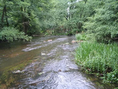
Kié River

Weather…
Water temperature…
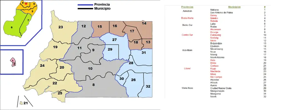
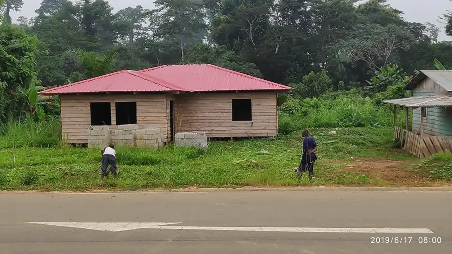
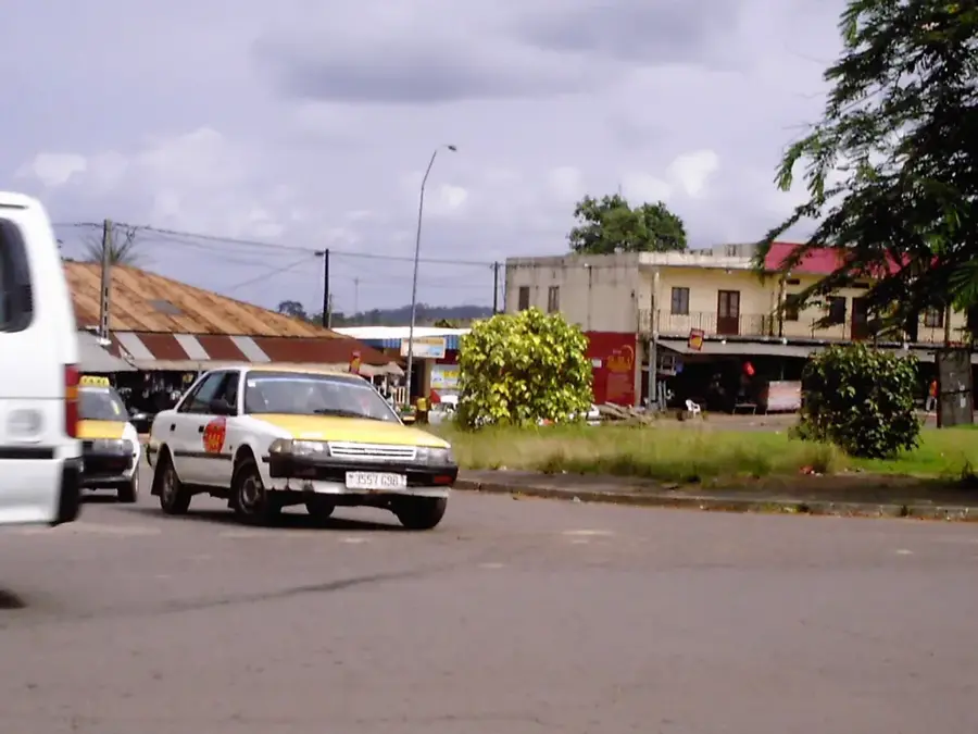
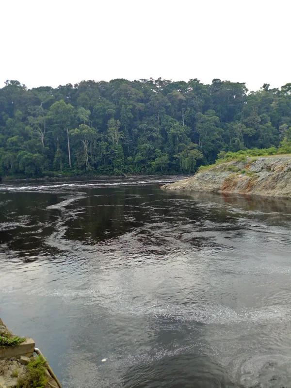
The Kié River is a significant waterway located in the northeastern corner of Equatorial Guinea, flowing through the province of Kié-Ntem, which takes its name from the river. This international river forms parts of the border with both Gabon and Cameroon, making it a critical geographical and political feature of the region. The river's banks are characterized by diverse riparian vegetation and provide essential resources for the local populations, including water for agriculture and fish for nutrition. Historically, the Kié River has been a vital conduit for cultural and economic exchange in the triple-border area. It remains a central element of the landscape and a symbol of regional connectivity in the northeast. Curriculum: Geography K6, Social Studies K7.
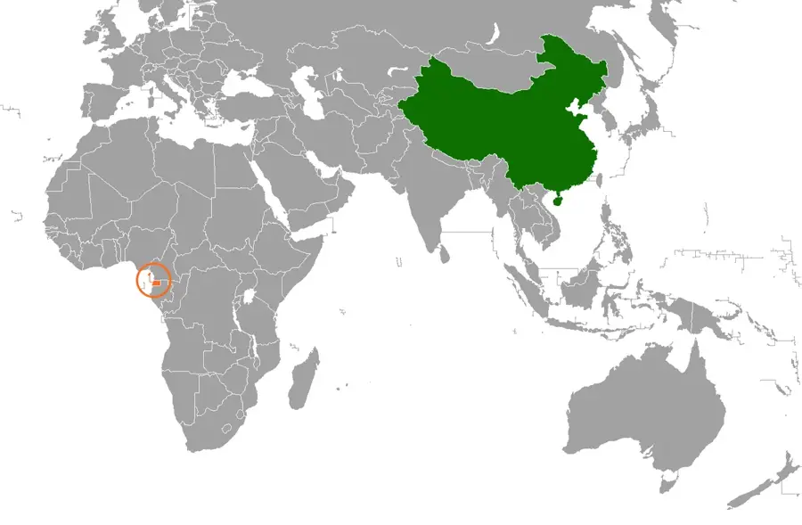
- Location: Equatorial Guinea
- Nearby: Nsang (42 km)
Best time to visit & climate
The most pleasant time to visit is Jan, Jul, Aug.
| Jan | Feb | Mar | Apr | May | Jun | Jul | Aug | Sep | Oct | Nov | Dec | |
|---|---|---|---|---|---|---|---|---|---|---|---|---|
| Avg °C | 24 | 24 | 24 | 24 | 24 | 23 | 23 | 23 | 23 | 23 | 23 | 24 |
| Rain mm | 60 | 89 | 184 | 177 | 154 | 87 | 43 | 72 | 143 | 262 | 214 | 88 |
📋 Practical info
Geography
Facts
- A major river that gives its name to the Kié-Ntem province.
- Forms a significant part of the border with Gabon and Cameroon.
- Vital source of water and food for the northeastern communities.
- Features a rich and diverse range of riverside flora and fauna.
- Historically important for regional trade and social exchange.
- A key hydrological feature of the northeastern Rio Muni.
- Connects diverse ethnic communities along the border zone.
Explore nearby
Notable places around
Route planner — Car & Motorhome
Where do you start? We build the route here, with stops and country notes along the way.
© OpenStreetMap contributors · OpenRouteService
Sights in the town Kié River (1)
Sights nearby
Frequently asked questions
Where does the Kié River flow?
Is the river suitable for boat tours?
Can you go fishing in the river?
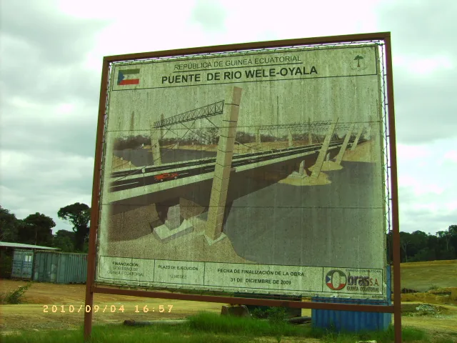
Are there bridges over the Kié?
What is the surroundings of the river like?
Kié River: where is it located?
Kié River: when is the best time to visit?
Kié River: why is it worth visiting?

Nearby cities


Nature
More places