Plizio Visual Lab
Bokor National Park
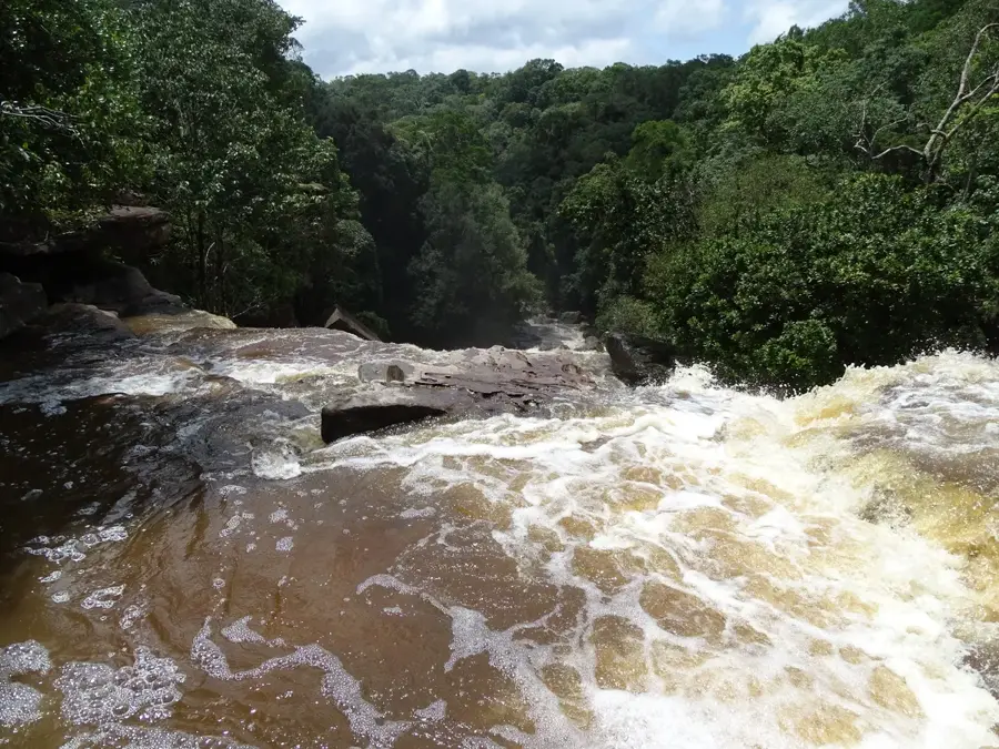
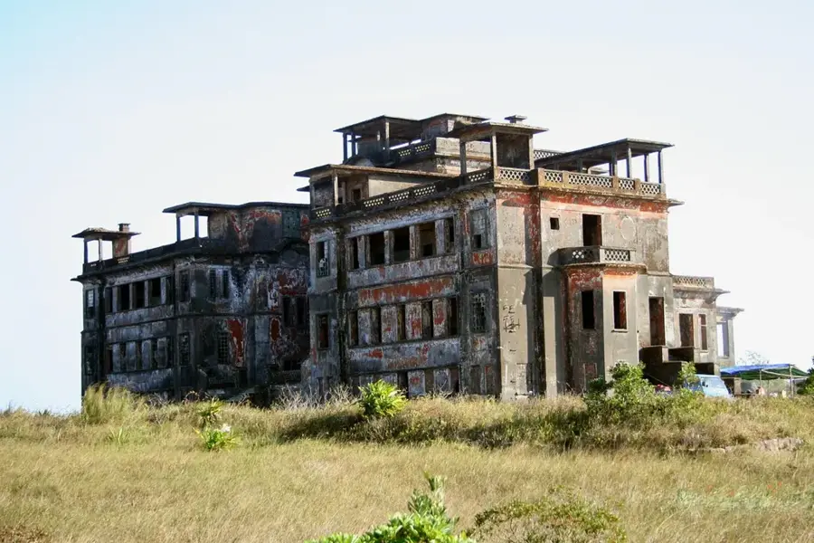
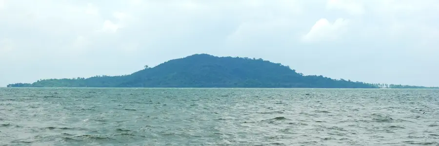
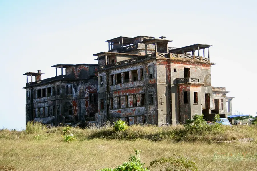
Bokor National Park, officially named Preah Monivong National Park, spans over 1,400 square kilometers within the Damrei Mountains of southwestern Cambodia. The park is characterized by its high plateau reaching an elevation of 1,081 meters, which experiences a unique microclimate significantly cooler than the surrounding lowlands. It serves as a vital habitat for endangered species such as the Asian elephant, sun bear, and leopard, alongside various endemic pitcher plants. The site is historically significant for the Bokor Hill Station, a colonial resort established by the French in the 1920s to escape the tropical heat. Notable landmarks include the atmospheric ruins of the Old Catholic Church, the Bokor Palace Hotel, and the massive Lok Yeay Mao monument facing the sea. Natural highlights include the Popokvil Waterfall and various meditation sites scattered across the misty landscape. The park remains a cornerstone of Cambodian conservation, balancing historical preservation with modern infrastructure development.
- Location: Cambodia
- Top sights: Popokvil Waterfall · Meditation Stone · Temple Shape Stone
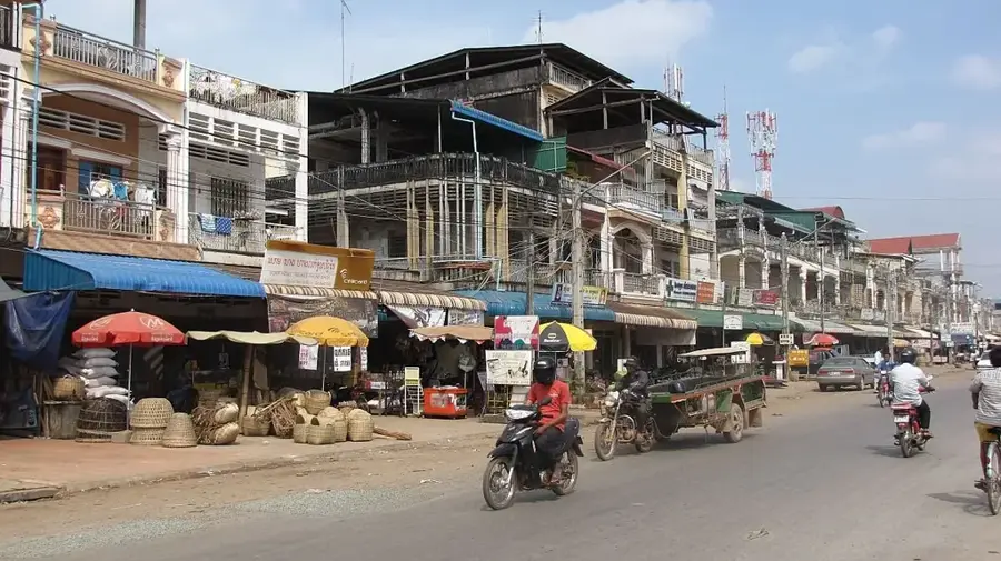
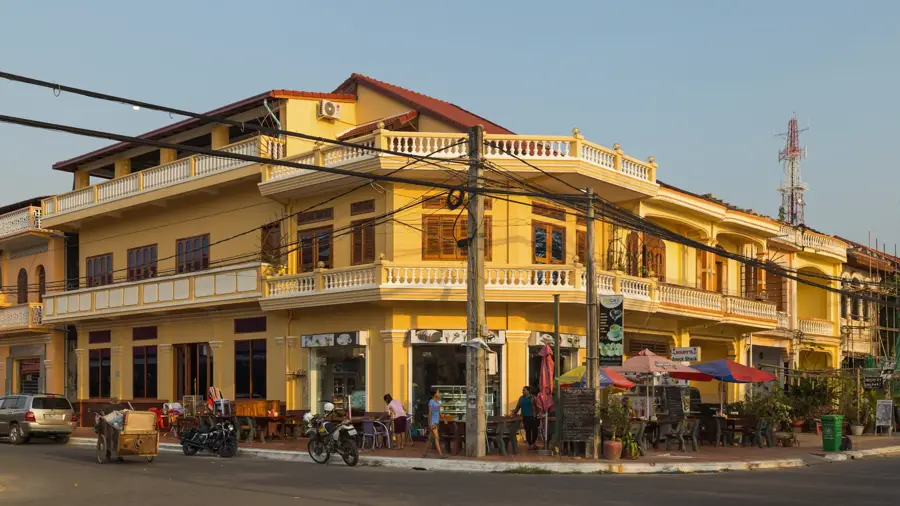
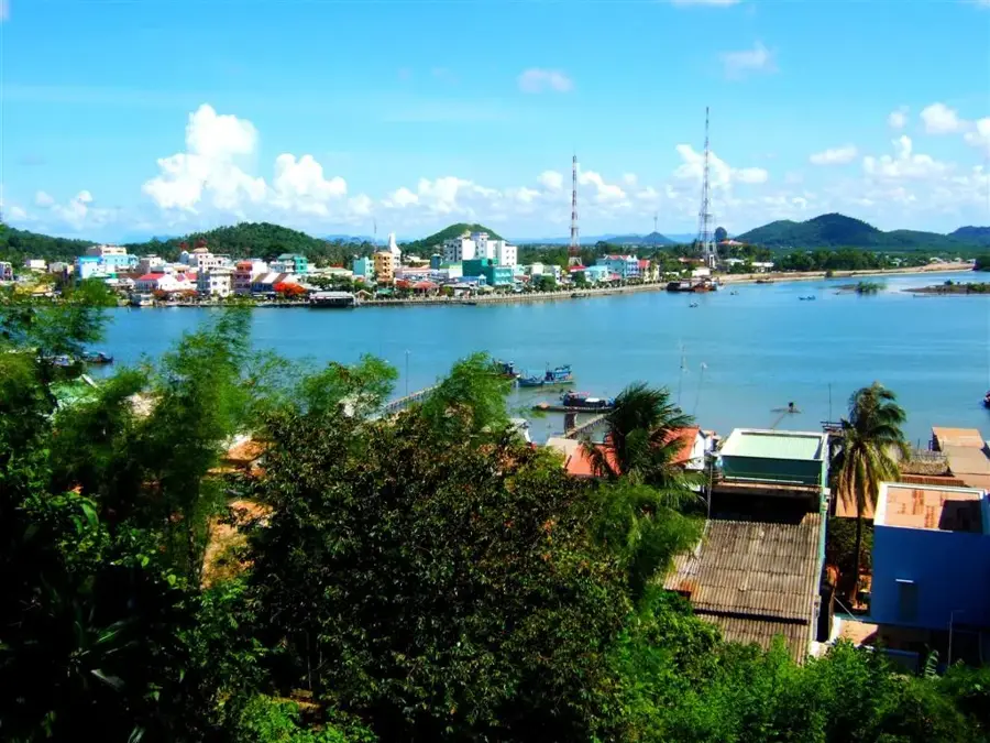
- Nearby: Kampot (17 km)
Best time to visit & climate
The most pleasant time to visit is Jan, Feb, Dec.
| Jan | Feb | Mar | Apr | May | Jun | Jul | Aug | Sep | Oct | Nov | Dec | |
|---|---|---|---|---|---|---|---|---|---|---|---|---|
| Avg °C | 26 | 27 | 28 | 29 | 29 | 28 | 27 | 27 | 27 | 27 | 27 | 26 |
| Rain mm | 27 | 24 | 72 | 134 | 248 | 380 | 444 | 373 | 426 | 253 | 125 | 48 |
📋 Practical info
Geography
Facts
- Area: 1,400 sq km
- Peak elevation: 1,081 meters
- Hill station founded: 1921
- Key waterfall: Popokvil
- Rare flora: Carnivorous pitcher plants
- Status: National Park since 1993
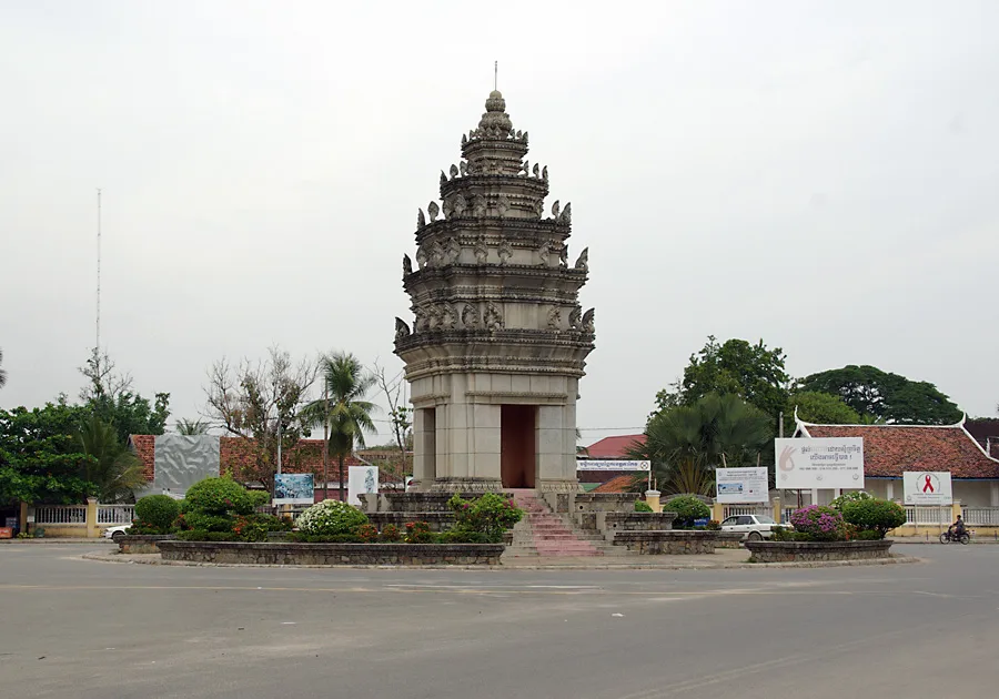
Explore nearby
Notable places around
Route planner — Car & Motorhome
Where do you start? We build the route here, with stops and country notes along the way.
© OpenStreetMap contributors · OpenRouteService
Sights in the town Bokor National Park (3)
Sights nearby
Frequently asked questions
What is the ghost town on Bokor?
How do you get to the mountain top?
Can it be foggy up there?
Are there accommodations available?
What else can you see besides ruins?
Bokor National Park: where is it located?
Bokor National Park: what is there to see?
Bokor National Park: when is the best time to visit?
Bokor National Park: why is it worth visiting?

Nearby cities

History & landmarks
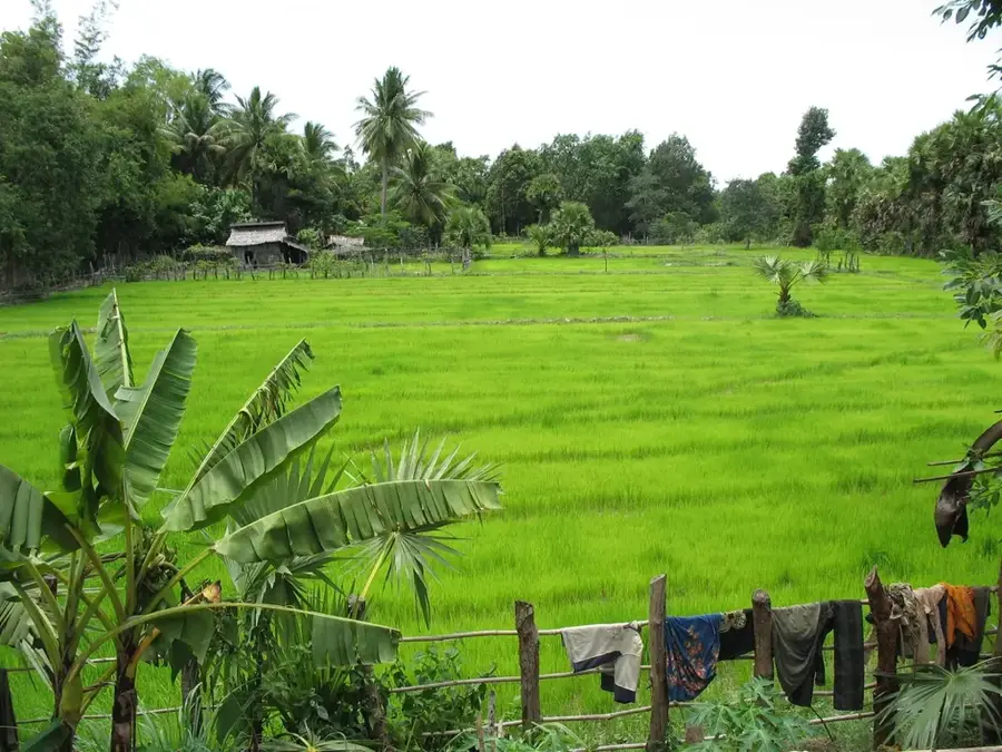
Nature
More places