Plizio Visual Lab
Kampot Coast
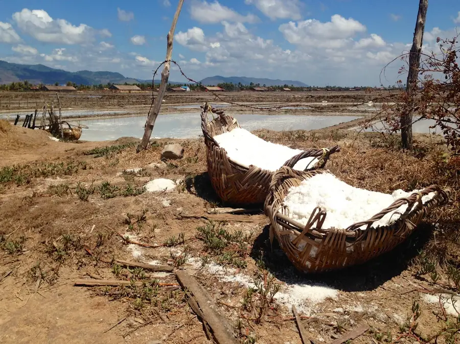
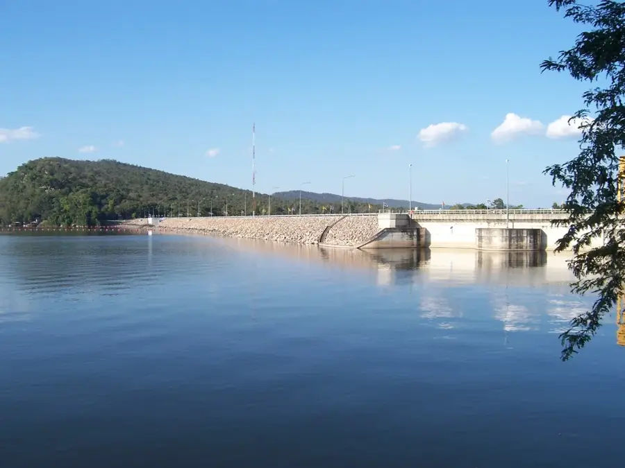
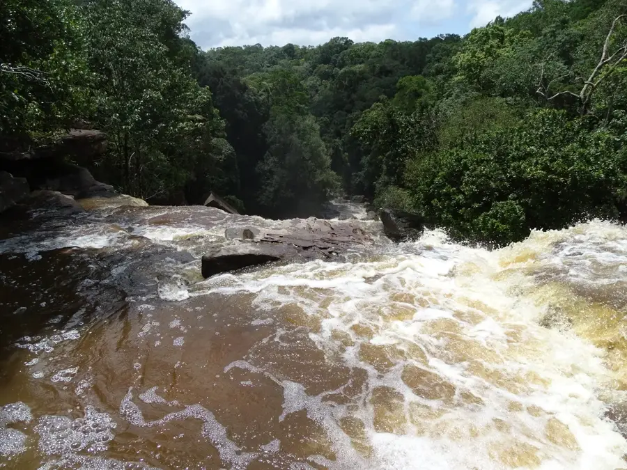
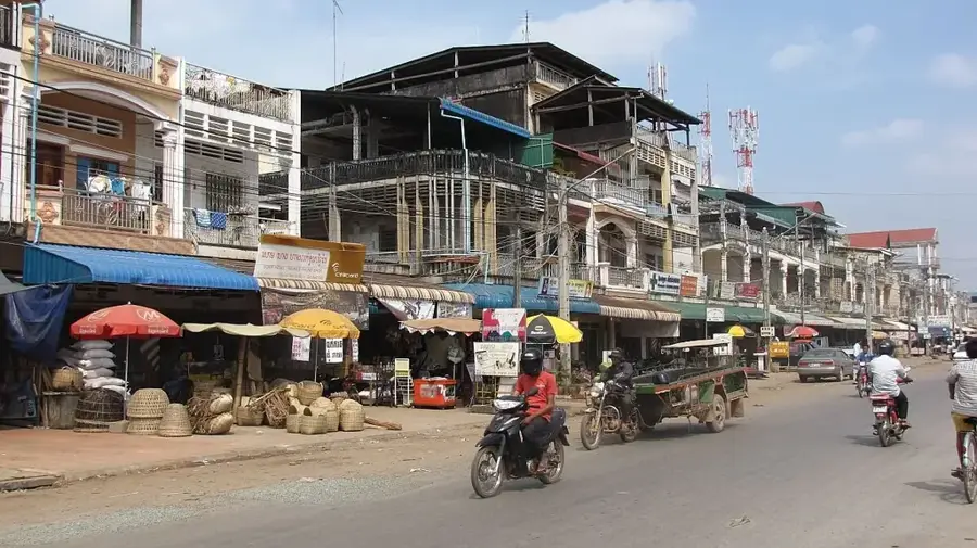
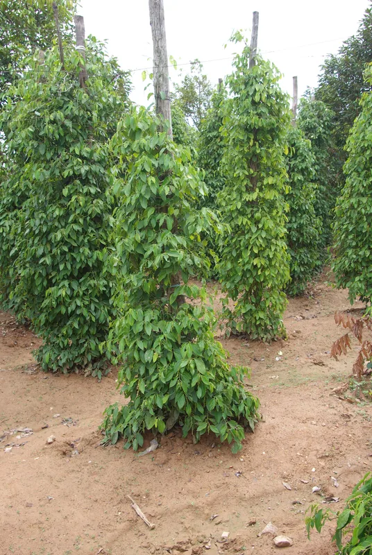
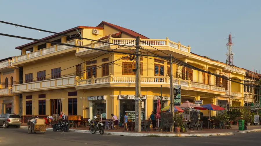
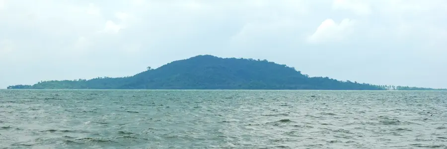
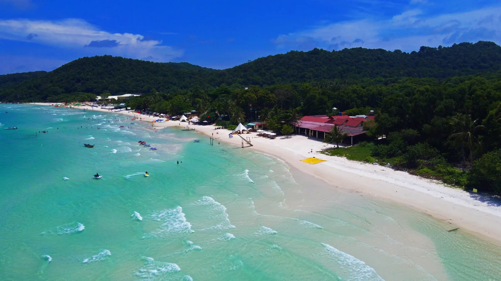
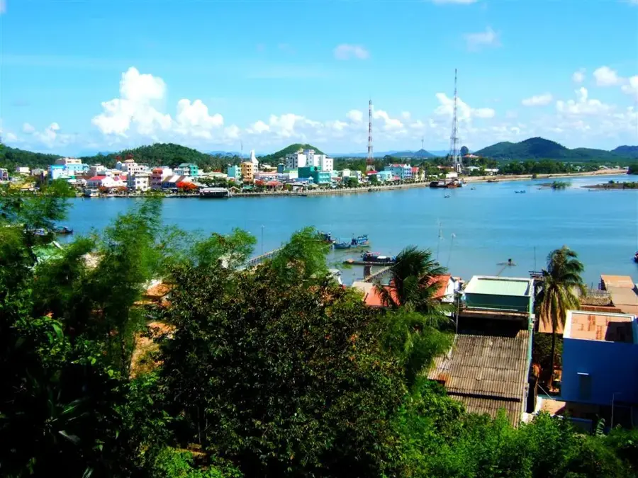
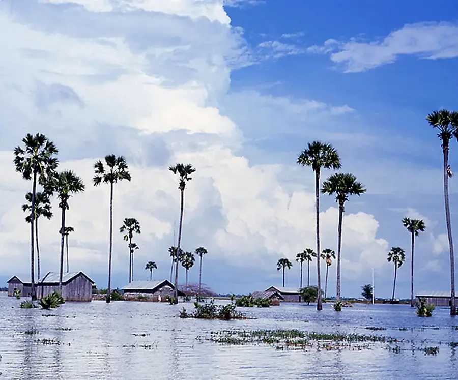
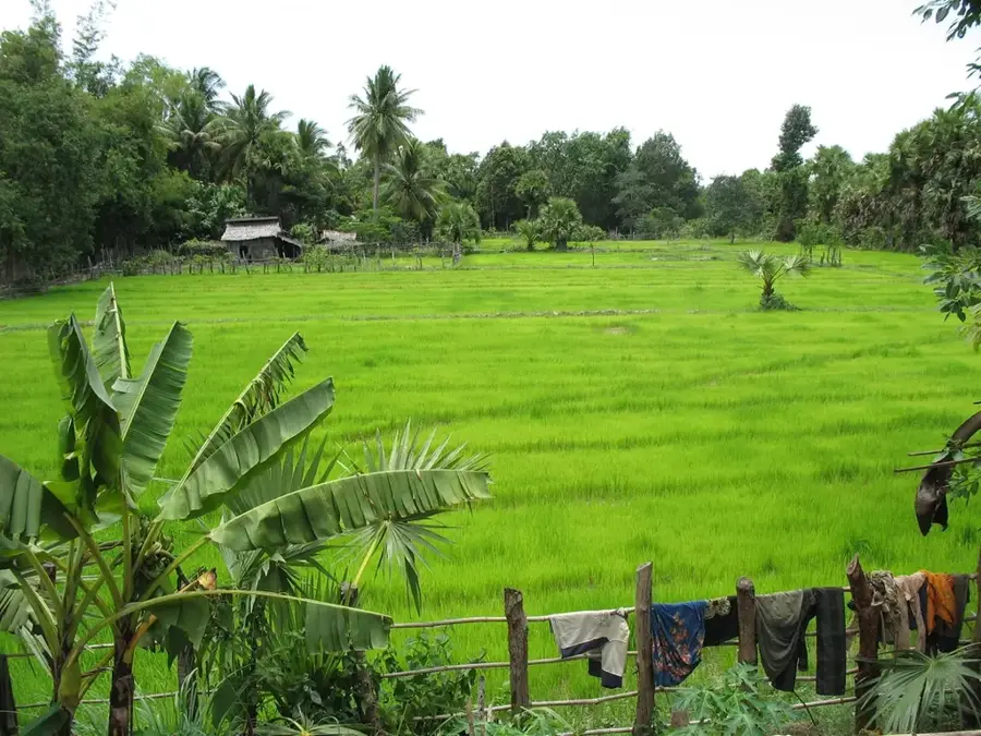
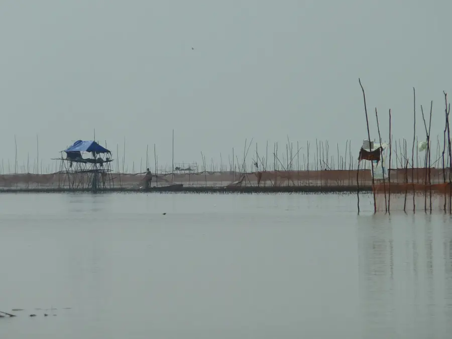
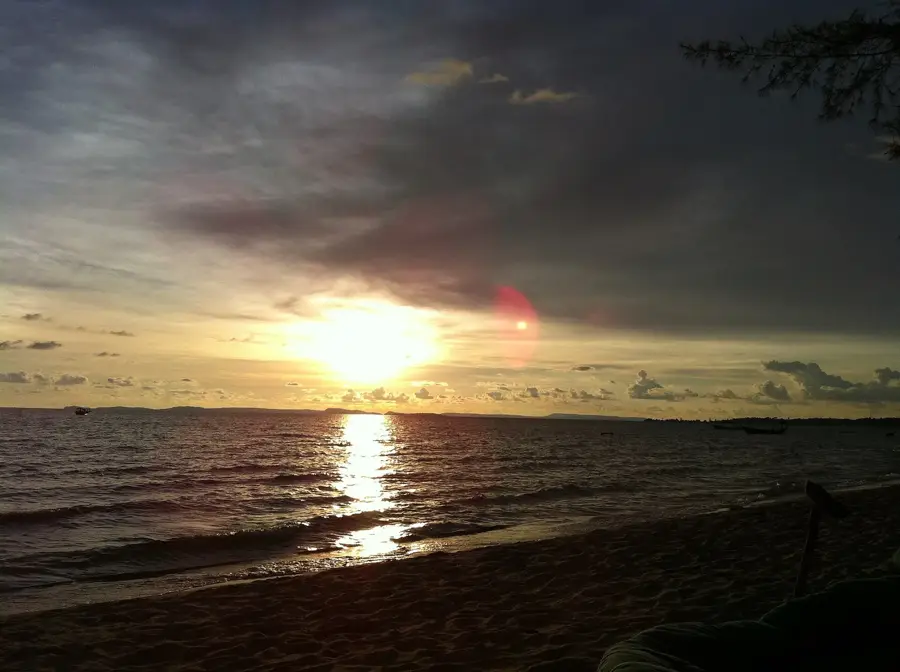
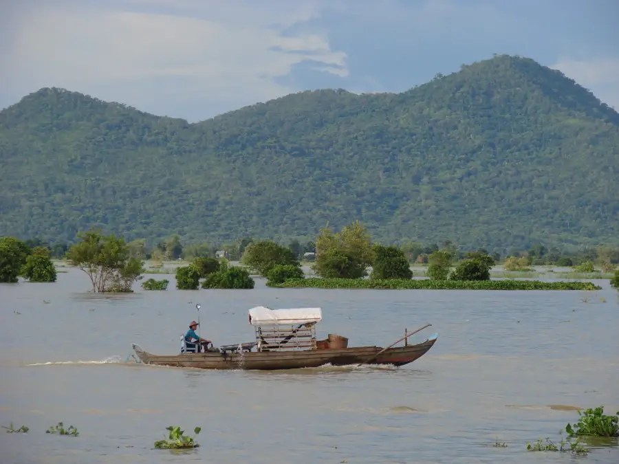
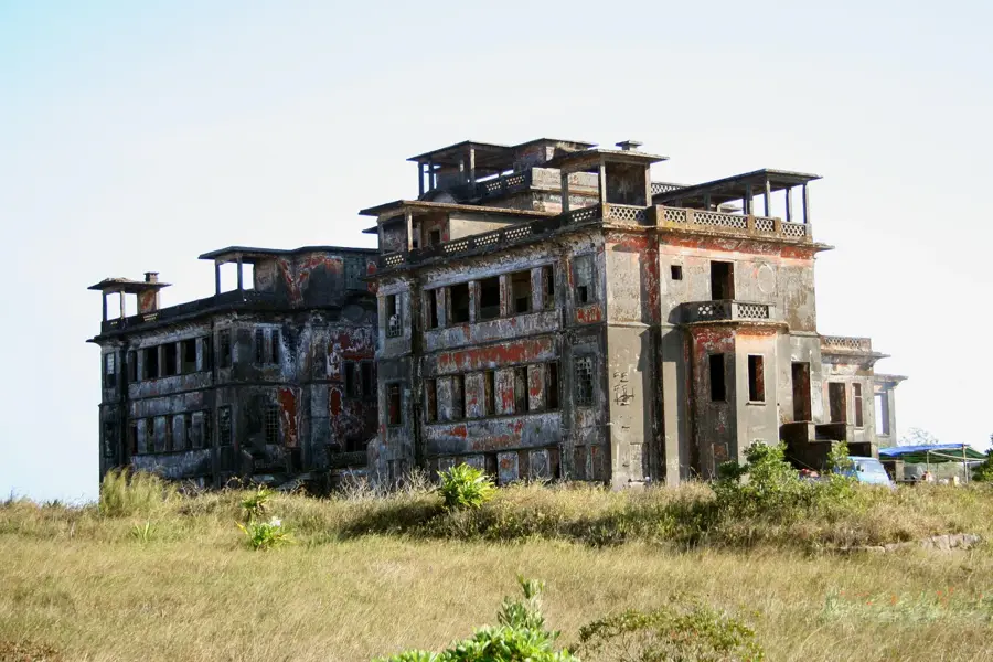
The Kampot Coast lies in southeastern Cambodia along the Gulf of Thailand and is defined by a flat coastal plain framed by the foothills of the Bokor Mountains. The region is internationally famous for Kampot pepper, which thrives in the mineral-rich soil and sea breeze of this specific microclimate. A distinctive feature of the coastal landscape is the expansive salt pans, where sea salt is harvested through evaporation during the dry season. The coastline is intersected by the Teuk Chhou River, whose estuary is lined with dense mangroves that provide a critical habitat for various aquatic species. Historically, Kampot was a vital export port during the French colonial period, and much of that era's architecture is still preserved today. The offshore waters are part of a marine protected area designed to safeguard Cambodia's remaining seagrass meadows and the rare dugongs that feed there. Today, the coast is a popular destination for slow tourism, with activities such as kayaking through mangroves and visiting pepper plantations being major attractions.
- Location: Cambodia
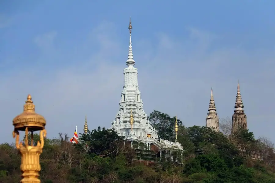
- Top sights: Mosque · Wat Trauy Koh
- Nearby: Kep (15 km)
Best time to visit & climate
The most pleasant time to visit is Jan, Feb, Dec.
| Jan | Feb | Mar | Apr | May | Jun | Jul | Aug | Sep | Oct | Nov | Dec | |
|---|---|---|---|---|---|---|---|---|---|---|---|---|
| Avg °C | 26 | 27 | 28 | 29 | 29 | 28 | 27 | 27 | 27 | 27 | 27 | 26 |
| Rain mm | 27 | 24 | 72 | 134 | 248 | 380 | 444 | 373 | 426 | 253 | 125 | 48 |
📋 Practical info
Geography
Facts
- Kampot pepper was granted Protected Geographical Indication status in 2010.
- The local salt pans produce thousands of tons of sea salt annually.
- The coastal waters are home to some of Cambodia's last dugong populations.
- The coastline includes critical seagrass meadows for marine conservation.
- The Teuk Chhou River flows for approximately 30 km to the estuary.
- The area hosts one of the densest mangrove systems in Southeast Cambodia.
Explore nearby
Notable places around
Route planner — Car & Motorhome
Where do you start? We build the route here, with stops and country notes along the way.
© OpenStreetMap contributors · OpenRouteService
Sights in the town Kampot Coast (2)
Sights nearby
Frequently asked questions
What is typical for the Kampot coast?
Are there swimming beaches?
What can you do on the river?
Where does the famous pepper come from?
Is Kampot good for cycling?
Kampot Coast: where is it located?
Kampot Coast: what is there to see?
Kampot Coast: when is the best time to visit?
Kampot Coast: why is it worth visiting?

Nearby cities

History & landmarks
Nature
More places