Plizio Visual Lab
Pendjari River
Weather…
Water temperature…
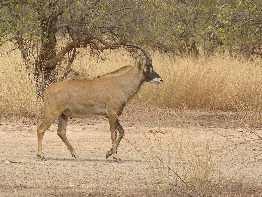
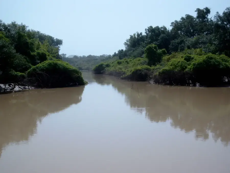
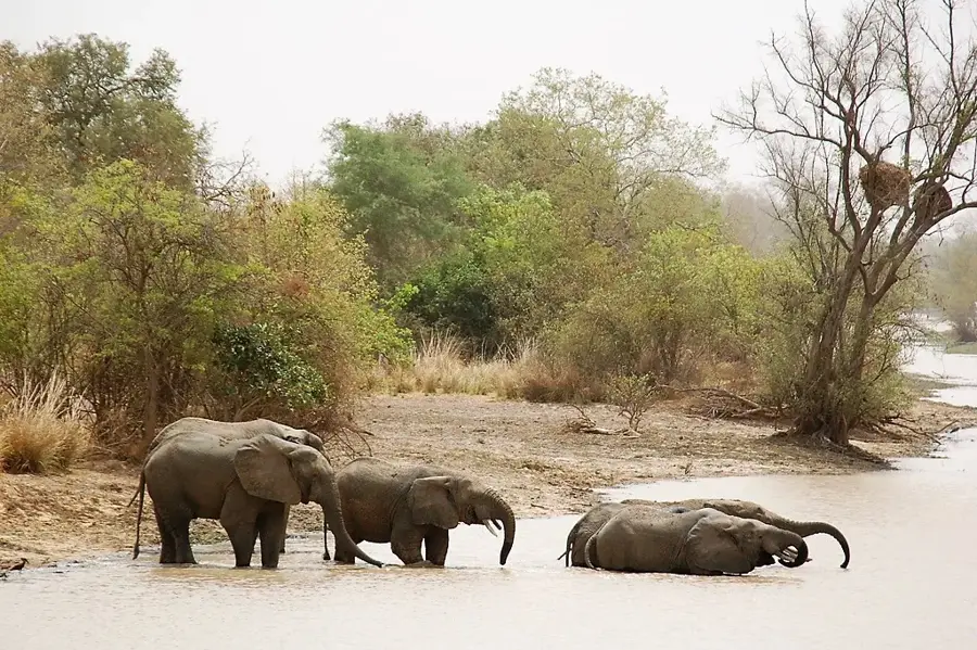
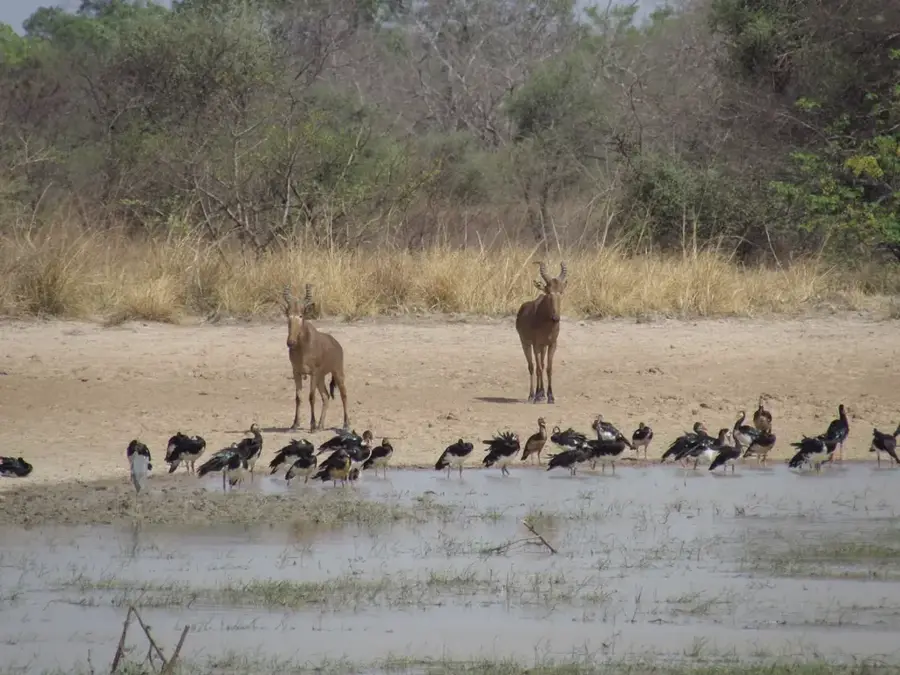
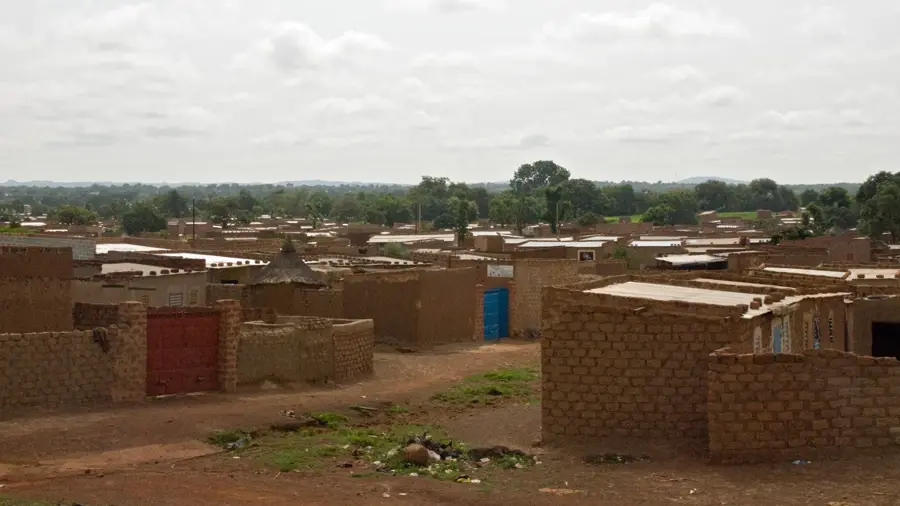
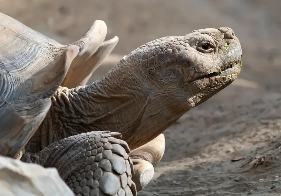
The Pendjari River is a significant waterway in West Africa, stretching approximately 380 kilometers and forming part of the border between Burkina Faso and Benin. Originating in the Atakora Mountains of Benin, it eventually flows into the Oti River, a tributary of the Volta. The river gives its name to the Pendjari National Park and passes through the Arly protected area in Burkina Faso, serving as a lifeline for the entire WAP National Park complex. During the rainy season, the river swells significantly, flooding vast areas of the surrounding savanna, which enhances soil fertility and creates essential wetlands. These floodplains are vital for the survival of large mammals such as elephants, hippos, and crocodiles, particularly during the prolonged dry season. Historically, the river has been a key landmark for migratory patterns and the establishment of settlements in the region. Fishing and small-scale irrigation along its banks provide a livelihood for many local communities. In recent years, transboundary agreements have been established to ensure the sustainable management of the river's water resources and fish populations.
Best time to visit & climate
The most pleasant time to visit is Jan, Nov, Dec.
| Jan | Feb | Mar | Apr | May | Jun | Jul | Aug | Sep | Oct | Nov | Dec | |
|---|---|---|---|---|---|---|---|---|---|---|---|---|
| Avg °C | 25 | 28 | 31 | 31 | 30 | 28 | 26 | 26 | 26 | 27 | 27 | 25 |
| Rain mm | 1 | 4 | 10 | 56 | 100 | 156 | 220 | 268 | 197 | 83 | 6 | 0 |
📋 Practical info
Geography
Facts
- Total river length is approximately 380 kilometers.
- Forms a natural border between Burkina Faso and Benin.
- Flows into the Oti River, part of the Volta Basin system.
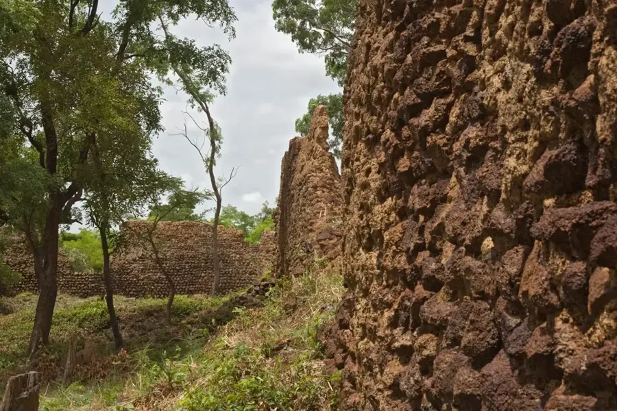
- Passes through the Arly and Pendjari National Parks.
- Habitat for one of the last West African lion populations.
- Essential water source for annual elephant migrations.
Explore nearby
Notable places around
Route planner — Car & Motorhome
Where do you start? We build the route here, with stops and country notes along the way.
© OpenStreetMap contributors · OpenRouteService
Sights nearby
Frequently asked questions
Can you see hippos?
Is the river a border?
Are there safaris along the river?
When is the high water season?
Is fishing allowed in the river?
Pendjari River: where is it located?
Pendjari River: when is the best time to visit?
Pendjari River: why is it worth visiting?

Nearby cities

Nature
More places