Plizio Visual Lab
Diapaga Hills
Weather…
Water temperature…
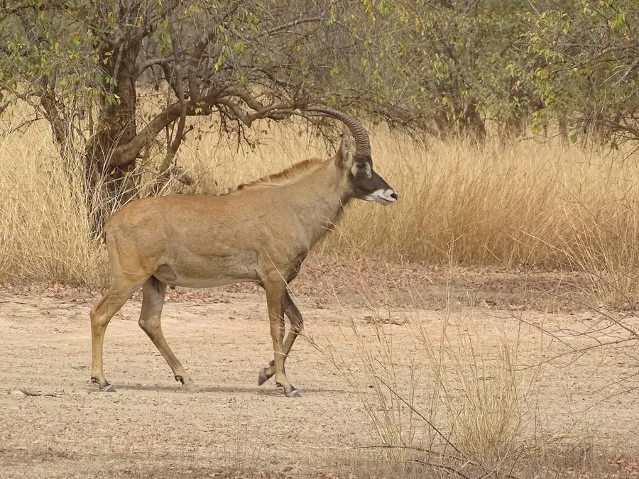
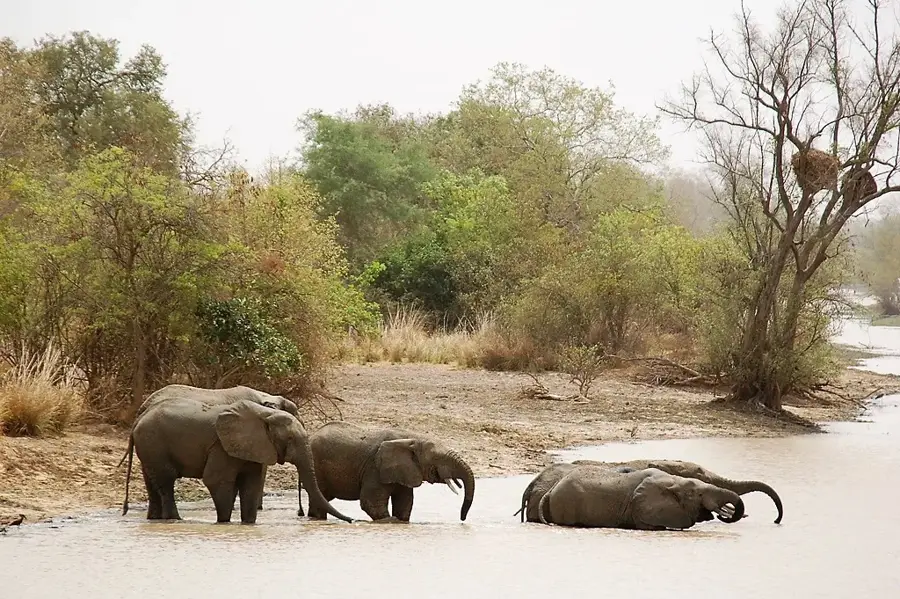
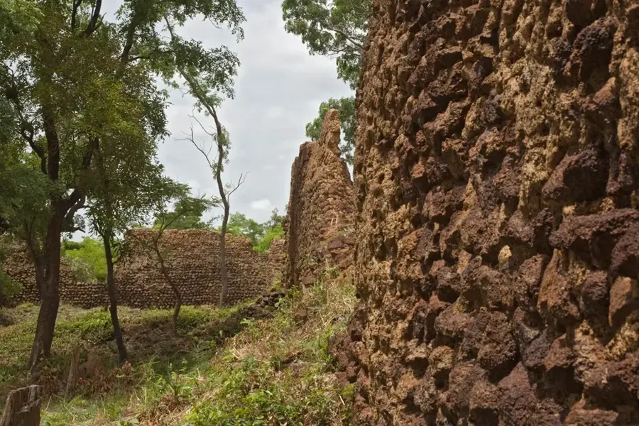
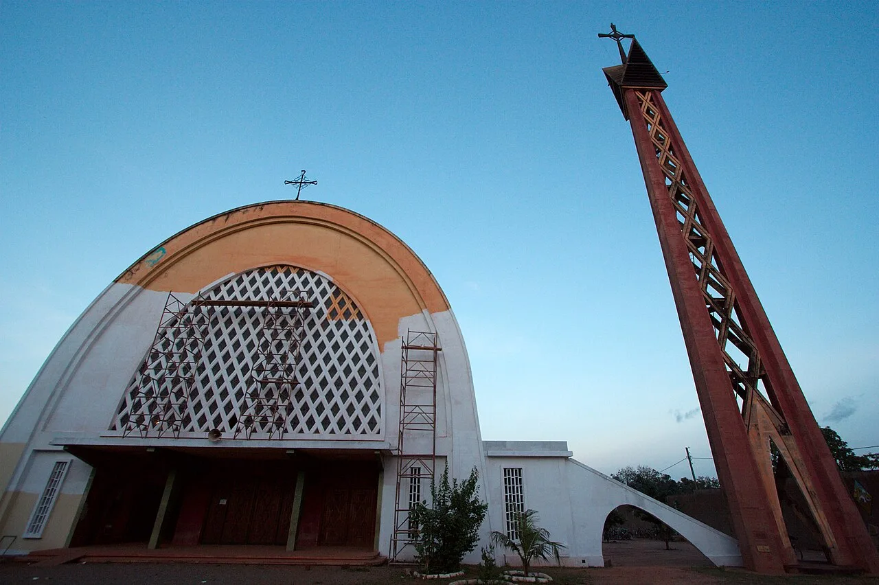
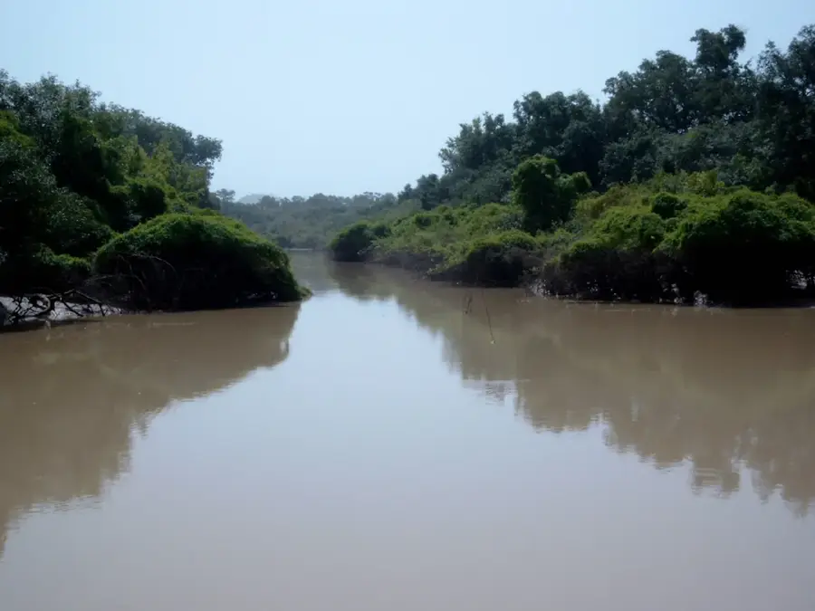
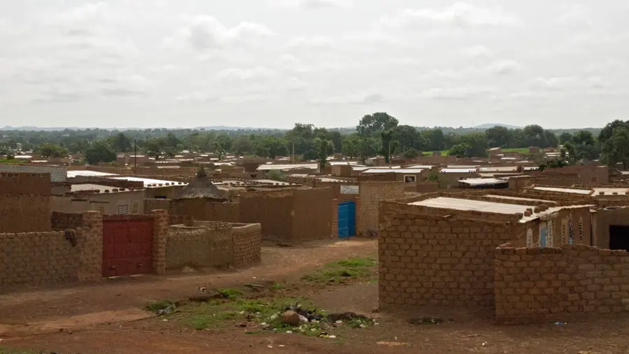
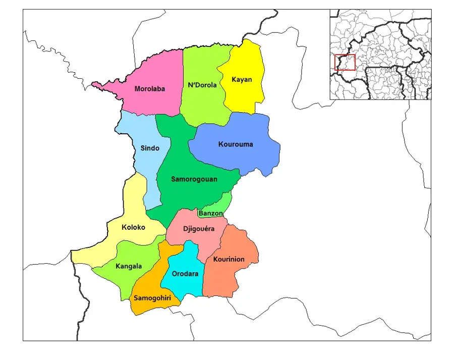
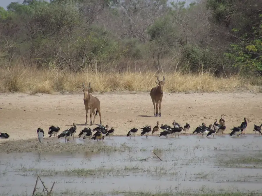
The Diapaga Hills (Monts Diapaga) are a prominent range of hills in eastern Burkina Faso, located in the Tapoa Province near the town of Diapaga. This geological formation is part of the Atakora mountain range system and is characterized by striking sandstone plateaus and rugged cliffs. The region features high biodiversity, as it sits adjacent to the W-Arly-Pendjari National Park complex, a UNESCO World Heritage site. Historically, these hills served as natural fortresses and places of refuge for the local Gourmantché people during times of conflict. Today, the Monts Diapaga are an important destination for nature tourism, providing a habitat for rare birds of prey and small mammals. The vegetation consists primarily of shrub savanna and gallery forests along the seasonal watercourses. The geological layers of the hills bear witness to millions of years of formation within the West African Shield. Conservation efforts focus on protecting areas prone to erosion and preserving cultural sites found within the formation's numerous caves.
- Location: Burkina Faso
- Nearby: Diapaga (8 km)
Best time to visit & climate
The most pleasant time to visit is Jan, Nov, Dec.
| Jan | Feb | Mar | Apr | May | Jun | Jul | Aug | Sep | Oct | Nov | Dec | |
|---|---|---|---|---|---|---|---|---|---|---|---|---|
| Avg °C | 24 | 28 | 31 | 33 | 31 | 29 | 27 | 26 | 26 | 27 | 27 | 25 |
| Rain mm | 0 | 2 | 5 | 35 | 69 | 106 | 163 | 213 | 138 | 52 | 3 | 0 |
📋 Practical info
Geography
Facts
- Located in the Tapoa Province in eastern Burkina Faso.
- Part of the Atakora mountain range stretching into Benin.
- Composed primarily of sedimentary rocks and sandstone.
- In close proximity to the UNESCO World Heritage W-Arly-Pendjari.
- Traditional refuge area for the Gourmantché ethnic group.
- Peak elevations reach approximately 300 to 400 meters above sea level.
Explore nearby
Notable places around
Route planner — Car & Motorhome
Where do you start? We build the route here, with stops and country notes along the way.
© OpenStreetMap contributors · OpenRouteService
Sights nearby
Frequently asked questions
What is the main attraction?
Are the hills steep?
Are there waterfalls?
How do you get there from Diapaga?
Is hiking strenuous?
Diapaga Hills: where is it located?
Diapaga Hills: when is the best time to visit?
Diapaga Hills: why is it worth visiting?

Nearby cities


Nature

More places