Plizio Visual Lab
Stara Planina Ridge
Weather…
Water temperature…
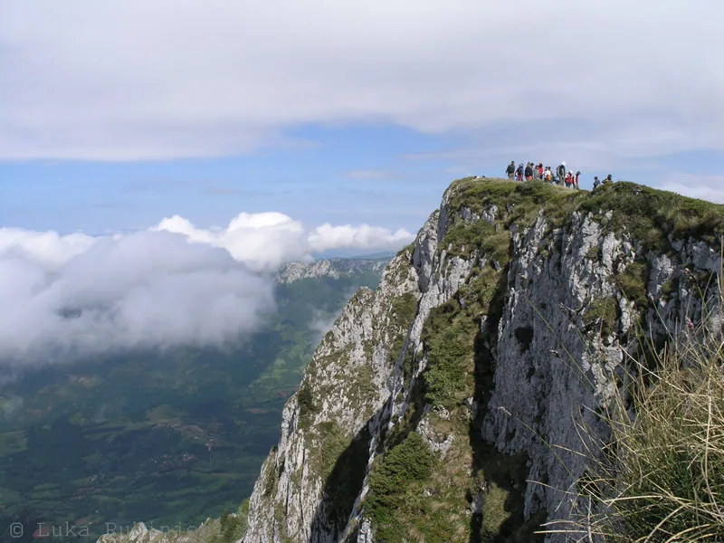
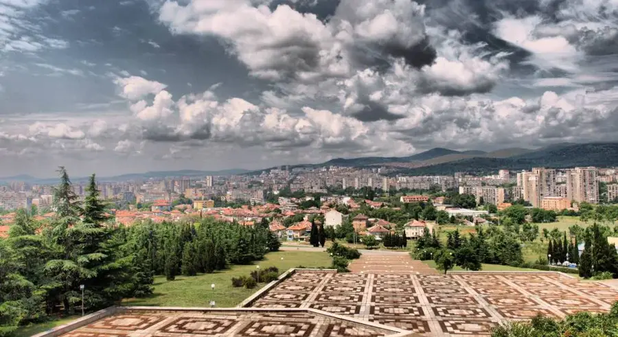
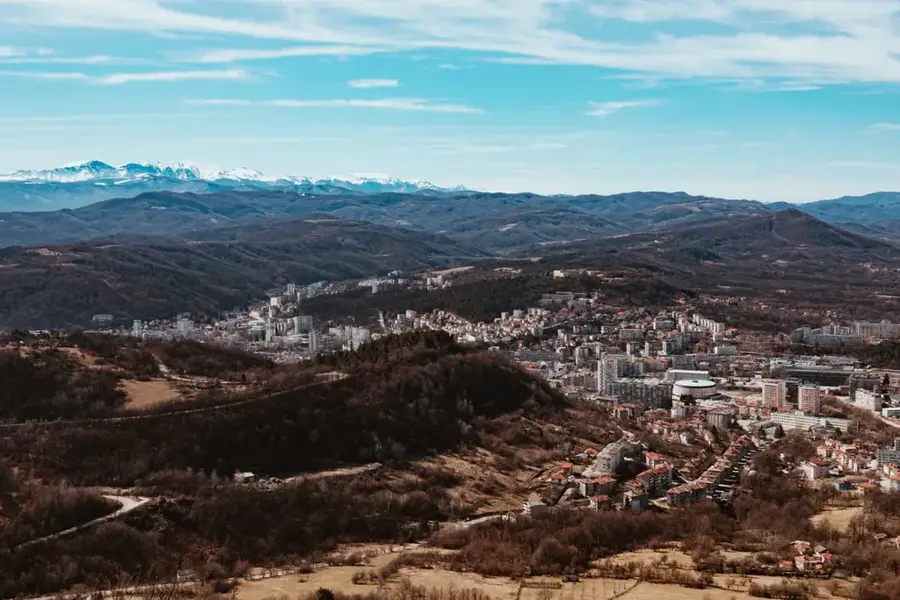
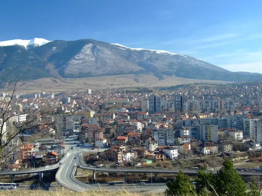
The main ridge of Stara Planina, also known as the Balkan Mountains, stretches for 530 kilometers across Bulgaria, forming the nation's most significant geographic and climatic barrier. This massive range is part of the Alpine-Himalayan orogenic belt and functions as the primary watershed between the Danube River to the north and the Aegean Sea to the south. Geologically, the ridge is highly diverse, consisting of granite cores, limestone cliffs, and schist formations. The central section exhibits a distinct alpine relief, peaking at Mount Botev (2,376 m). Historically, the ridge served as a formidable defensive barrier and a sanctuary for Bulgarian revolutionaries during Ottoman rule. Numerous mountain passes, such as the Shipka Pass, intersect the ridge and were sites of pivotal historical battles. Today, the ridge is home to the Central Balkan National Park and is a centerpiece of the European long-distance hiking trail E3 (Kom-Emine).
- Location: Bulgaria
- Top sights: Boatin Reserve · Tetevenska baba
- Nearby: Ribaritsa (7 km)
Best time to visit & climate
The most pleasant time to visit is Jun–Aug.
| Jan | Feb | Mar | Apr | May | Jun | Jul | Aug | Sep | Oct | Nov | Dec | |
|---|---|---|---|---|---|---|---|---|---|---|---|---|
| Avg °C | -1 | 1 | 5 | 10 | 16 | 20 | 22 | 22 | 17 | 11 | 6 | 0 |
| Rain mm | 44 | 42 | 51 | 52 | 89 | 90 | 81 | 54 | 57 | 56 | 36 | 46 |
📋 Practical info
Geography
Facts
- The Stara Planina gave its name to the entire Balkan Peninsula.
- It is the longest continuous mountain chain within Bulgaria's borders.
- Mount Botev (2,376 m) is the highest peak of the entire Balkan range.
- The ridge contains the largest UNESCO-listed beech forest massif in Europe.
- There are over 20 mountain passes connecting Northern and Southern Bulgaria.
- The Kom-Emine hiking trail follows the entire 530 km ridge to the Black Sea.
Explore nearby
Notable places around
Route planner — Car & Motorhome
Where do you start? We build the route here, with stops and country notes along the way.
© OpenStreetMap contributors · OpenRouteService
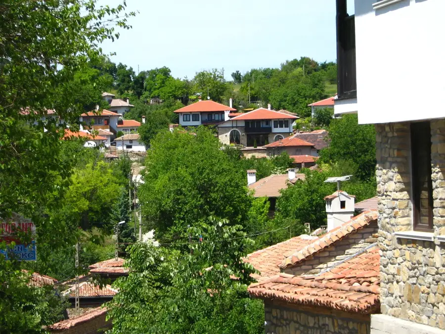
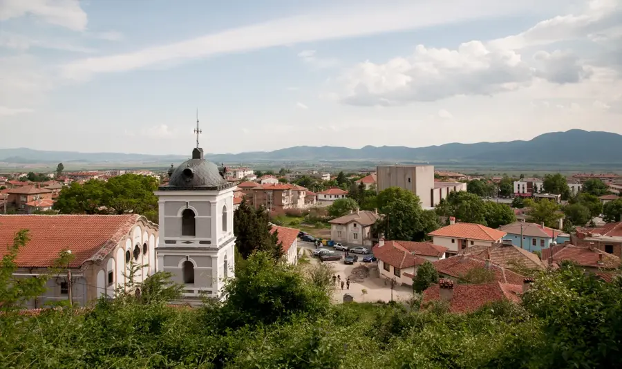
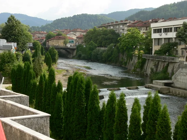
Sights in the town Stara Planina Ridge (2)
Sights nearby
Frequently asked questions
How long is the Stara Planina ridge?
Which is the highest mountain?
What is the Kom-Emine hiking route?
How is the weather on the ridge?
Are there historical monuments?
Stara Planina Ridge: where is it located?
Stara Planina Ridge: what is there to see?
Stara Planina Ridge: when is the best time to visit?
Stara Planina Ridge: why is it worth visiting?

Nearby cities


History & landmarks