Plizio Visual Lab
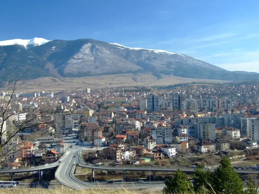
Stara Planina Plateau
Weather…
Water temperature…
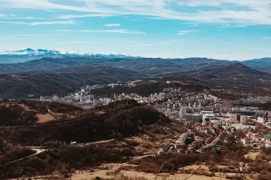
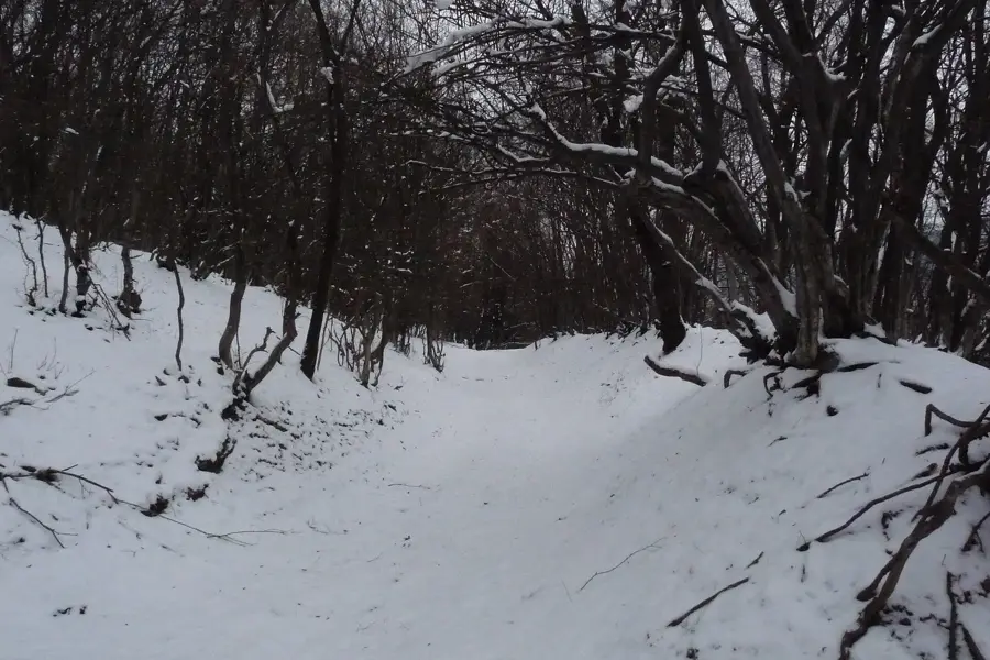
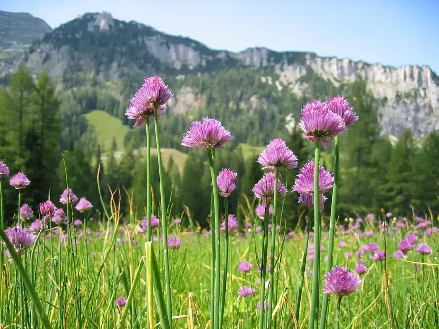
The Stara Planina Plateau encompasses the high-altitude, often leveled summit regions and alpine pastures of the central Balkan Mountains. Geologically, the massif in this area is predominantly composed of granite and metamorphic rocks that have undergone extensive erosion over eons to form broad, plateau-like surfaces. These uplands are mostly situated above the treeline, at elevations exceeding 1,500 to 2,000 meters, and are defined by a harsh mountain climate characterized by severe winds and prolonged snow cover. Historically, these plateaus served as vital summer grazing grounds for transhumant sheep farming and played a strategic role as natural defensive lines during various military conflicts. The vegetation is dominated by alpine grasses, rare herbs, and dwarf shrubs, supporting a high degree of biodiversity. The plateau is protected within the Central Balkan National Park, preserving some of Europe's most pristine wilderness. Numerous high-altitude hiking trails traverse these plateaus, offering panoramic views across both northern and southern Bulgaria. Economically, the region relies on sustainable tourism, with mountain huts like the Rai Hut serving as key logistics hubs. Geomorphological features were significantly shaped by Pleistocene glacial processes, leaving behind distinct cirques and moraines.
- Location: Bulgaria
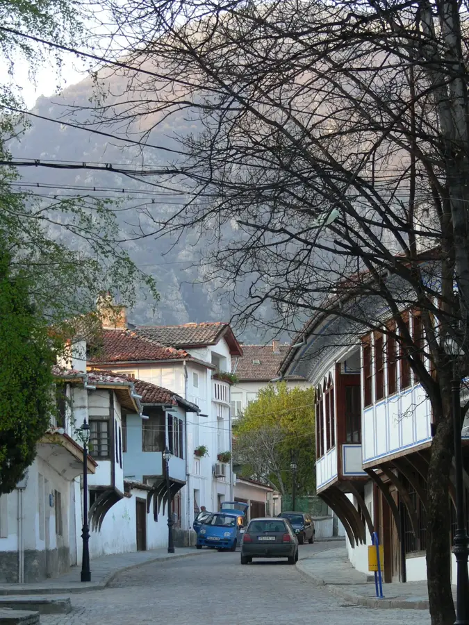
- Nearby: Koprivshtitsa (12 km)
Best time to visit & climate
The most pleasant time to visit is Jun–Aug.
| Jan | Feb | Mar | Apr | May | Jun | Jul | Aug | Sep | Oct | Nov | Dec | |
|---|---|---|---|---|---|---|---|---|---|---|---|---|
| Avg °C | -2 | 0 | 4 | 9 | 14 | 19 | 21 | 21 | 17 | 11 | 5 | 0 |
| Rain mm | 52 | 46 | 58 | 57 | 85 | 90 | 74 | 58 | 56 | 55 | 40 | 51 |
📋 Practical info
Geography
Facts
- Botev Peak is the highest point of the plateau at 2,376 meters.
- The Central Balkan National Park is a designated UNESCO World Heritage site.
- Bulgaria's highest waterfalls, such as Raisko Praskalo, originate on this plateau.
- The plateau supports one of the largest populations of Balkan chamois.
- Winds across the plateau can frequently exceed speeds of 100 km/h.
- The average summer temperature often remains below 15 degrees Celsius.
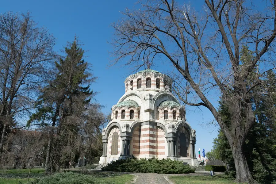
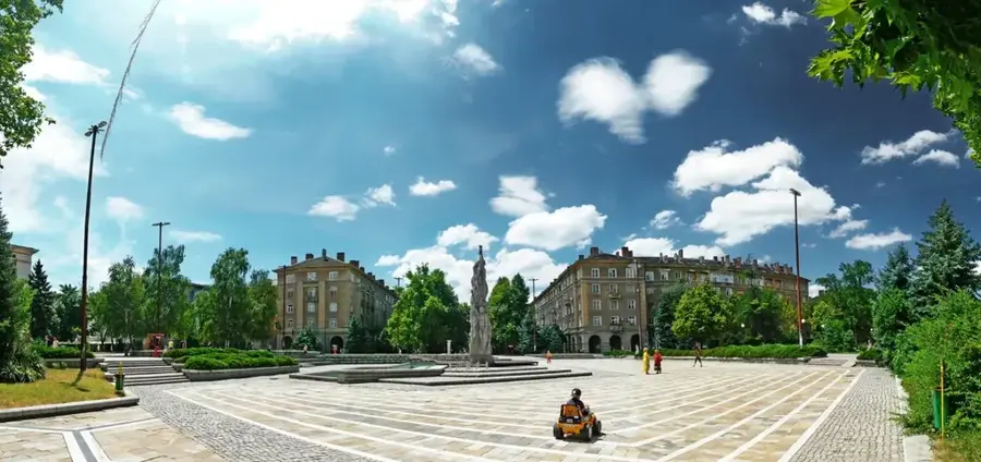
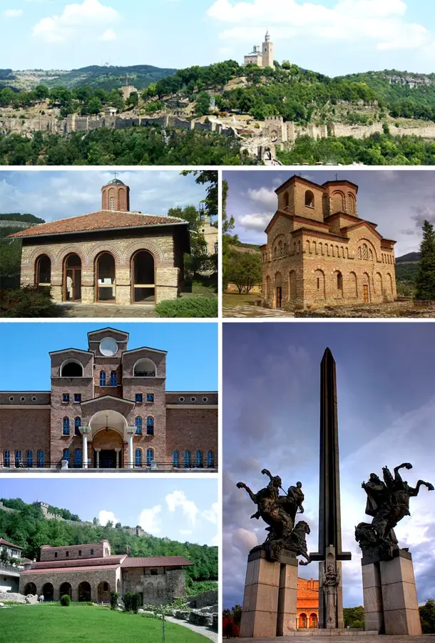
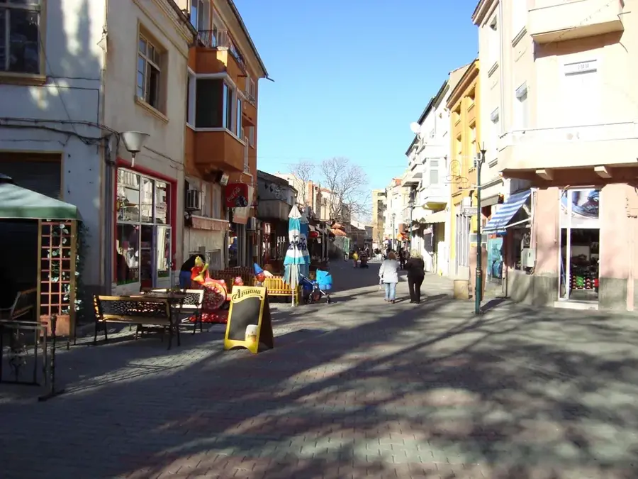
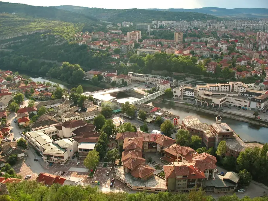
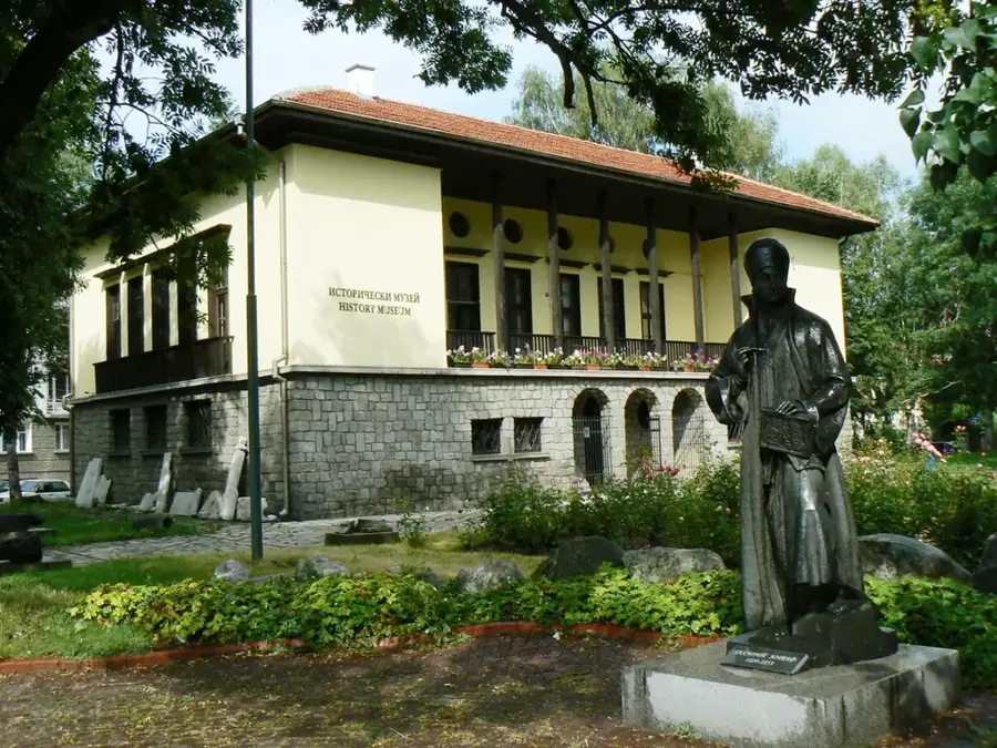
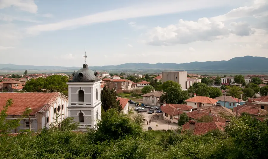
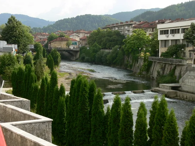
Explore nearby
Notable places around
Route planner — Car & Motorhome
Where do you start? We build the route here, with stops and country notes along the way.
© OpenStreetMap contributors · OpenRouteService
Sights nearby
Frequently asked questions
What is the Stara Planina Plateau?
Are there national parks?
What are typical animals?
What plants grow on the plateau?
Is hiking strenuous?
Stara Planina Plateau: where is it located?
Stara Planina Plateau: when is the best time to visit?
Stara Planina Plateau: why is it worth visiting?

Nearby cities