Plizio Visual Lab
Northern Balkan Slopes
Weather…
Water temperature…
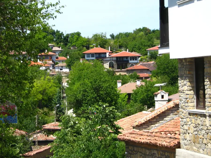
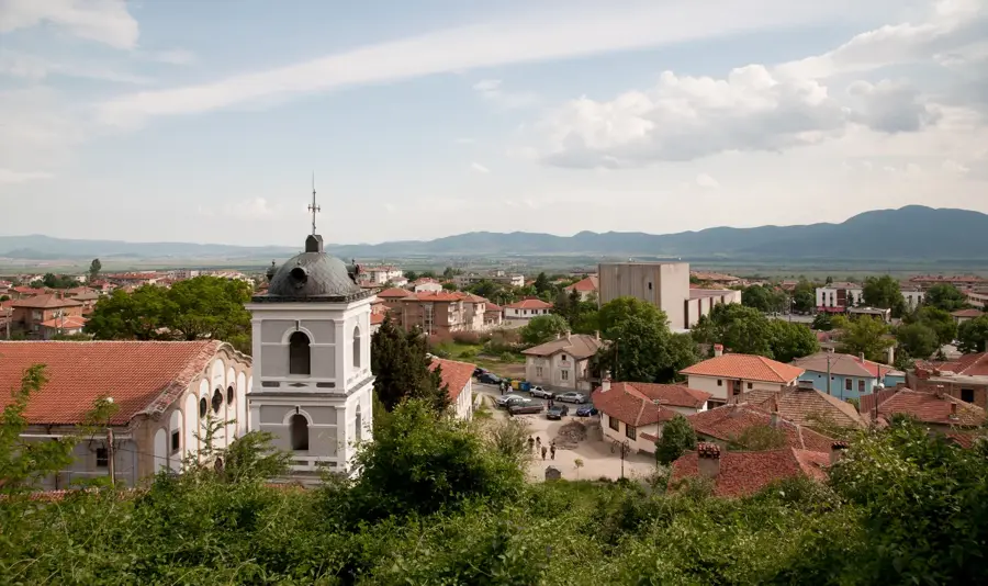
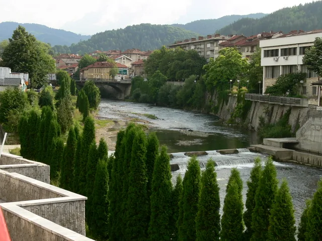
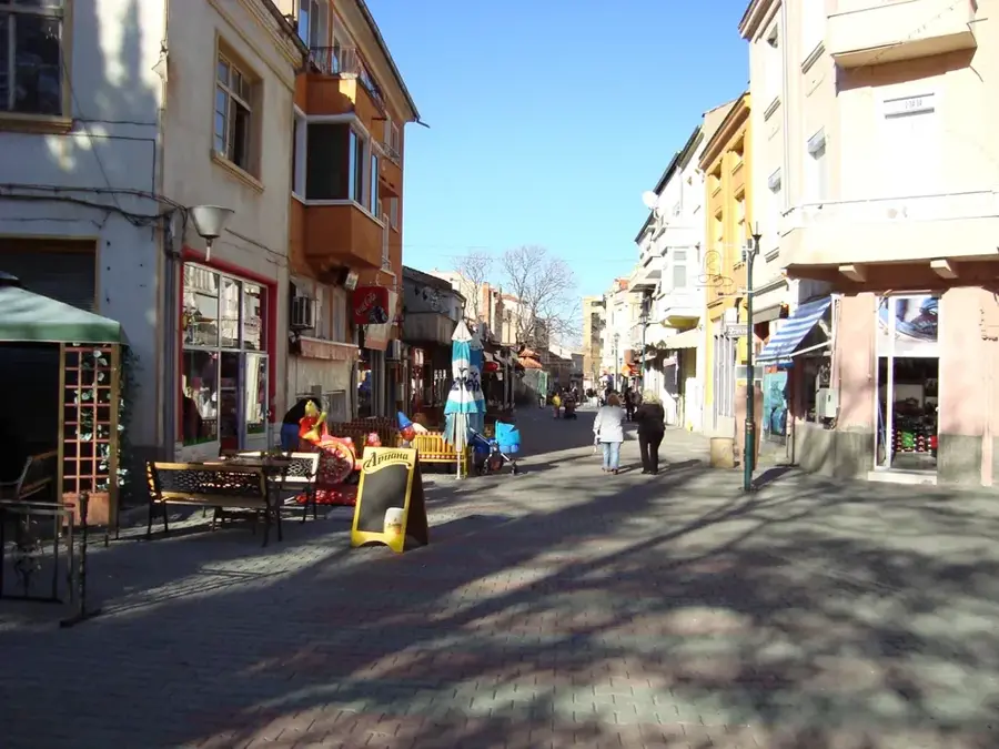
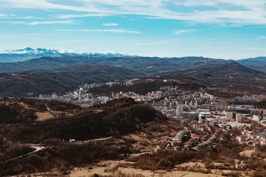
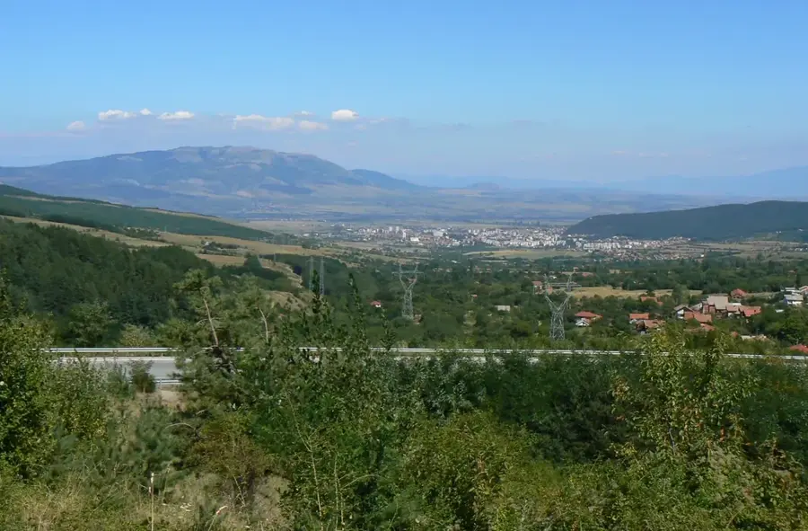
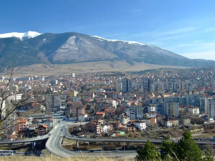
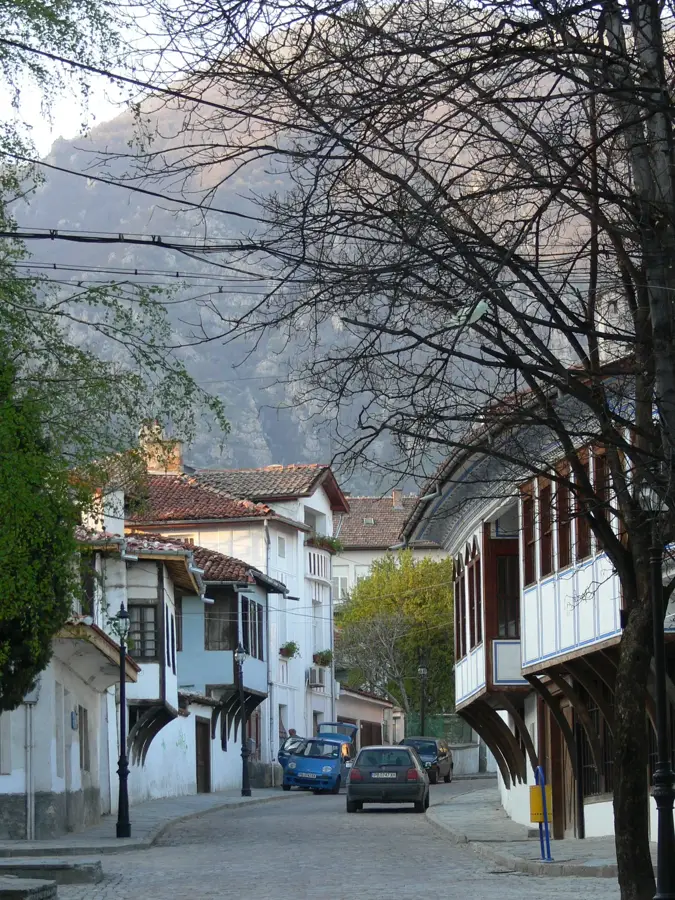
The Northern Balkan Slopes, also known as the Fore-Balkan, constitute a prominent transition zone between the Danubian Plain to the north and the main ridge of the Balkan Mountains to the south. This region is defined by a sequence of limestone plateaus, rolling hills, and deep river valleys that create a diverse and rugged landscape. Geologically, sedimentary rocks from the Cretaceous period dominate, leading to the development of numerous karst features such as caves and gorges. The climate is temperate continental with ample rainfall, which supports lush vegetation and extensive forestry operations. Historically, the northern slopes held immense strategic importance, as they controlled the access routes to vital mountain passes like the Shipka Pass. The region is home to many historic towns and monasteries that served as centers of resistance and culture during the Bulgarian National Revival. Today, the area is popular for nature tourism, with hiking trails and rock climbing opportunities in the limestone cliffs attracting many visitors. Agriculture in the fertile valleys focuses primarily on fruit orchards and livestock farming.
- Location: Bulgaria
- Top sights: Batultsi · Slatina, Lovech Province
- Nearby: Botevgrad (27 km)
Best time to visit & climate
The most pleasant time to visit is Jun–Aug.
| Jan | Feb | Mar | Apr | May | Jun | Jul | Aug | Sep | Oct | Nov | Dec | |
|---|---|---|---|---|---|---|---|---|---|---|---|---|
| Avg °C | -2 | 0 | 5 | 10 | 15 | 19 | 22 | 22 | 17 | 11 | 6 | 0 |
| Rain mm | 44 | 42 | 51 | 51 | 87 | 89 | 76 | 56 | 57 | 59 | 38 | 44 |
📋 Practical info
Geography
Facts
- The Fore-Balkan stretches for a total length of approximately 400 kilometers.
- The average elevation of the hills ranges between 100 and 500 meters.
- Geologically, the slopes consist mainly of limestone and sandstone deposits.
- The Iskar Gorge is the most significant river valley cutting through this area.
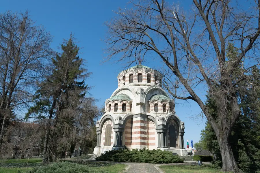
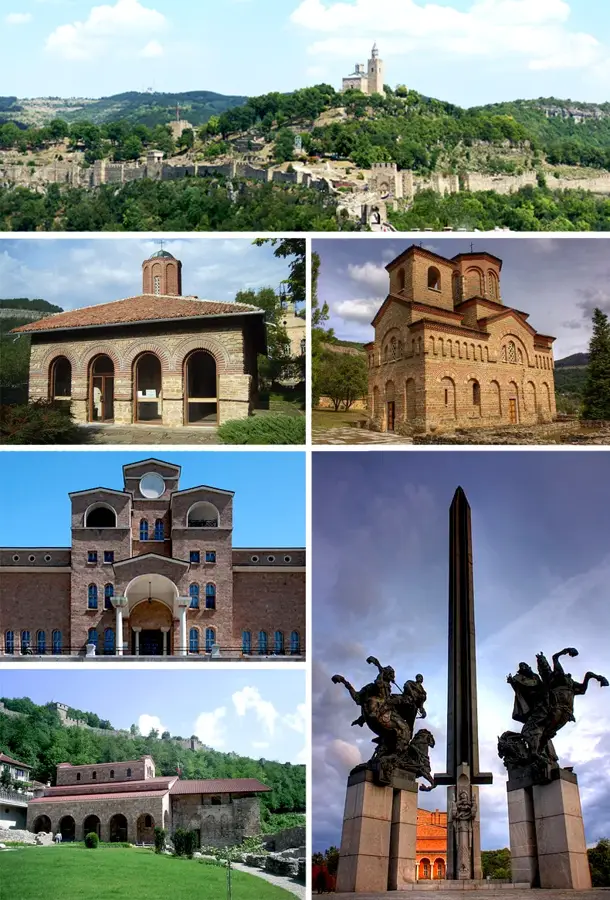
- The region is home to the Shipka Monument, located on the strategic Shipka Pass.
- Agriculture in the valleys is focused on fruit production, notably apples and plums.
Explore nearby
Notable places around
Route planner — Car & Motorhome
Where do you start? We build the route here, with stops and country notes along the way.
© OpenStreetMap contributors · OpenRouteService
Sights in the town Northern Balkan Slopes (2)
Sights nearby
Frequently asked questions
How do the northern slopes differ from the southern ones?
Are there significant caves there?
How is the climate on the northern slopes?
What activities are possible?
Are there well-known monasteries there?
Northern Balkan Slopes: where is it located?
Northern Balkan Slopes: what is there to see?
Northern Balkan Slopes: when is the best time to visit?
Northern Balkan Slopes: why is it worth visiting?

Nearby cities


History & landmarks