Plizio Visual Lab
Temburong River
Weather…
Water temperature…
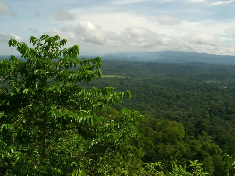
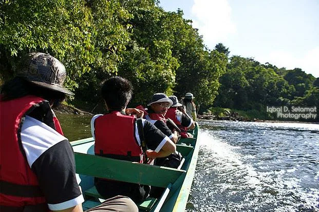
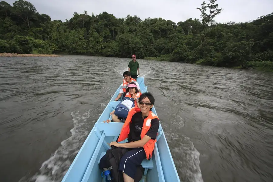
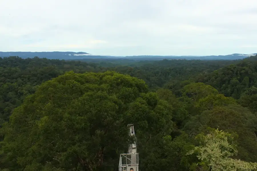
The Temburong River is the vital waterway of the eponymous Temburong enclave in Brunei, originating in the pristine mountains of the hinterland. It flows through dense, primary rainforests and serves as the main means of transport to reach the isolated Ulu Temburong National Park area. Traveling upriver in traditional longboats, known as Temuai, is a defining experience for visitors to the region. Ecologically, the river is of enormous importance, as its watershed encompasses some of the best-preserved tropical ecosystems in Southeast Asia. On its banks, mangrove forests are found in the estuary areas, while towering jungle trees line the upper reaches. The river also serves as a habitat for numerous aquatic species and is essential for the water supply of the local communities in Bangar. Strict environmental regulations ensure that water quality and the surrounding riparian habitats remain preserved from industrial pollution.
- Location: Brunei
- Top sights: Viewing Tower · Buffalo #3 · Buffalo #2
- Nearby: Amo (9 km)
Best time to visit & climate
The most pleasant time to visit is Feb, Mar, Aug.
| Jan | Feb | Mar | Apr | May | Jun | Jul | Aug | Sep | Oct | Nov | Dec | |
|---|---|---|---|---|---|---|---|---|---|---|---|---|
| Avg °C | 25 | 25 | 25 | 26 | 26 | 26 | 25 | 25 | 25 | 25 | 25 | 25 |
| Rain mm | 305 | 161 | 166 | 223 | 242 | 248 | 238 | 224 | 240 | 306 | 315 | 339 |
📋 Practical info
Geography
Facts
- The river is the most important transport route to Ulu Temburong.
- Traditional longboats used here are referred to as 'Temuai'.
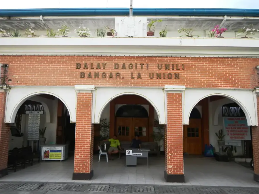
- Bangar is the largest settlement located on the river banks.
- Extensive mangrove swamps are found in the estuary area.
- Its water is considered among the cleanest in all of Borneo.
- The river provides the livelihood for local fishing activities.
Explore nearby
Notable places around
Route planner — Car & Motorhome
Where do you start? We build the route here, with stops and country notes along the way.
© OpenStreetMap contributors · OpenRouteService
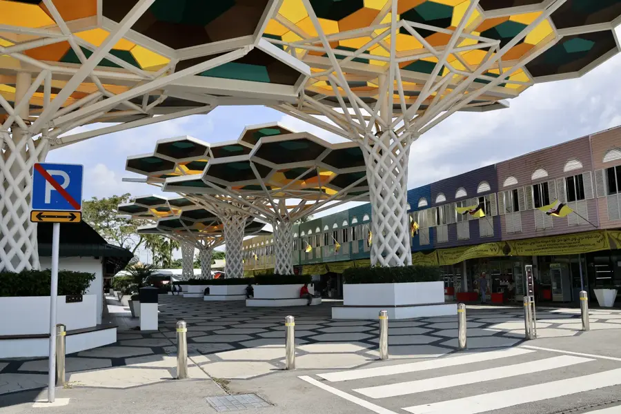
Sights in the town Temburong River (8)
Sights nearby
Frequently asked questions
How is the best way to explore the Temburong River?
Is the river suitable for swimming?
Are there crocodiles in the Temburong River?
What tours are offered on the river?
How do you get from Bandar Seri Begawan to the river?
Temburong River: where is it located?
Temburong River: what is there to see?
Temburong River: when is the best time to visit?
Temburong River: why is it worth visiting?

Nearby cities
History & landmarks
More places