Plizio Visual Lab
Bukit Patoi Forest Recreation Park

Weather…
Water temperature…
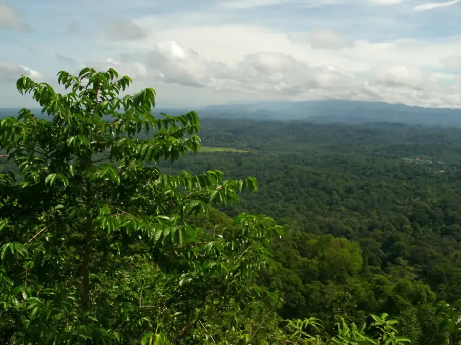
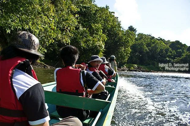
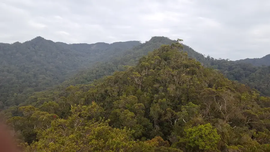
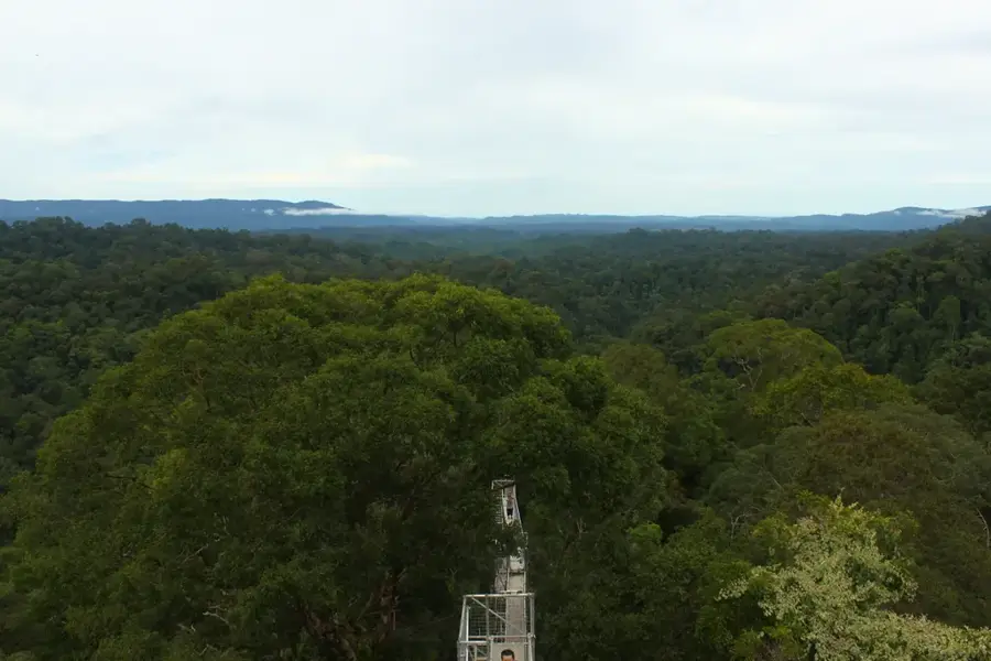
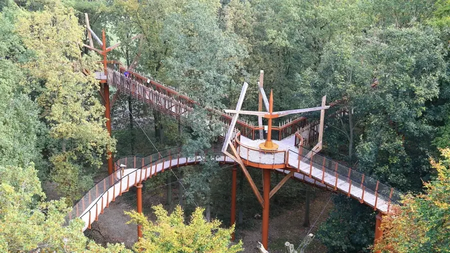
Bukit Patoi Forest Recreation Park is located in the Temburong District and is well-known for its challenging hiking trails and spectacular viewpoints. The park is an integral part of the Peradayan Forest Reserve, characterized by prominent geological formations of quartz sandstone. A popular hiking trail leads to the summit of Bukit Patoi at an elevation of approximately 310 meters, offering panoramic views over the Temburong River and the lush greenery of Brunei reaching across to Malaysia. The flora within the park is diverse, featuring dipterocarp forests and vegetation specialized for sandy soils. Along the paths, visitors can discover intriguing cave formations and bizarre rock structures shaped by erosion over thousands of years. The park is equipped with well-maintained paths and rest areas, making it a good destination for day-trippers and hiking enthusiasts. The cool breezes at higher elevations provide a refreshing escape from the lowland heat. Beyond recreation, the area serves as a protective habitat for rare plant and animal species that thrive in this specific microclimate. Continuous maintenance ensures that the trails remain safe and accessible for all visitors.
- Location: Brunei
- Top sights: Masjid Kampong Batu Apoi · Masjid Pengiran Haji Abu Bakar
- Nearby: Bangar (5 km)
Best time to visit & climate
The most pleasant time to visit is Feb, Mar, Aug.
| Jan | Feb | Mar | Apr | May | Jun | Jul | Aug | Sep | Oct | Nov | Dec | |
|---|---|---|---|---|---|---|---|---|---|---|---|---|
| Avg °C | 25 | 25 | 25 | 26 | 26 | 26 | 25 | 25 | 25 | 25 | 25 | 25 |
| Rain mm | 305 | 161 | 166 | 223 | 242 | 248 | 238 | 224 | 240 | 306 | 315 | 339 |
📋 Practical info
Geography
Facts
- The summit of Bukit Patoi is 310 meters above sea level.
- The park is part of the Peradayan Forest Reserve.
- The geology is dominated by quartz sandstone formations.
- The viewpoint offers vistas extending into Malaysia.
- Known for its unique 'hollow rock' formations and caves.
- A popular destination for hiking and physical fitness.
Explore nearby
Notable places around
Route planner — Car & Motorhome
Where do you start? We build the route here, with stops and country notes along the way.
© OpenStreetMap contributors · OpenRouteService
Sights in the town Bukit Patoi Forest Recreation Park (2)
Sights nearby
Frequently asked questions
How long does the hike to the summit take?
Are there observation points?
Is the trail marked?
Is camping allowed in the park?
Are there wild animals?
Bukit Patoi Forest Recreation Park: where is it located?
Bukit Patoi Forest Recreation Park: what is there to see?
Bukit Patoi Forest Recreation Park: when is the best time to visit?
Bukit Patoi Forest Recreation Park: why is it worth visiting?

Nearby cities
History & landmarks
Nature
More places