Plizio Visual Lab
Bukit Lesong

Weather…
Water temperature…
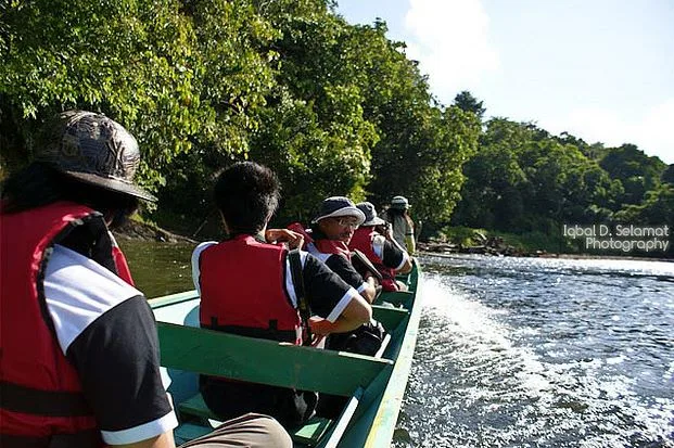
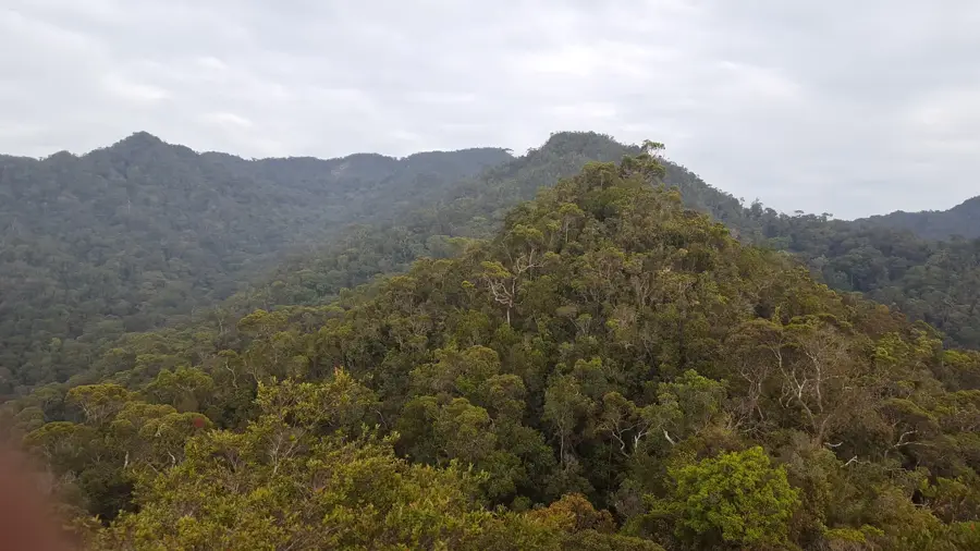
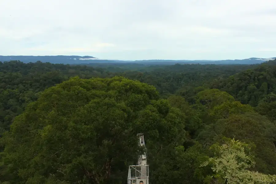
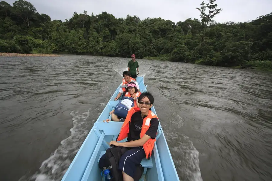
Rising to around 1,000 meters above sea level, Bukit Lesong is situated deep in the heart of Ulu Temburong National Park in Brunei. This mountain is a symbol of the park's untouched wilderness, completely surrounded by one of the oldest rainforests on Earth. Access to Bukit Lesong is extremely restricted and mainly reserved for scientists working at the nearby Kuala Belalong Field Studies Centre. The trek to the summit is a grueling multi-day expedition through rugged terrain, which is rich with wildlife such as gibbons, macaques, and a wide variety of bird species. The name 'Lesong' means 'mortar' in Malay, possibly alluding to a local legend or a geographical feature in the area. The slopes of the mountain are crucial to the water catchment for the Temburong River.
- Location: Brunei
- Nearby: Batu Apoi (8 km)
Best time to visit & climate
The most pleasant time to visit is Feb, Mar, Aug.
| Jan | Feb | Mar | Apr | May | Jun | Jul | Aug | Sep | Oct | Nov | Dec | |
|---|---|---|---|---|---|---|---|---|---|---|---|---|
| Avg °C | 25 | 25 | 25 | 26 | 26 | 26 | 25 | 25 | 25 | 25 | 25 | 25 |
| Rain mm | 305 | 161 | 166 | 223 | 242 | 248 | 238 | 224 | 240 | 306 | 315 | 339 |
📋 Practical info
Geography
Facts
- Habitat for many endemic species.
- Accessible only by boat and on foot.
Explore nearby
Notable places around
Route planner — Car & Motorhome
Where do you start? We build the route here, with stops and country notes along the way.
© OpenStreetMap contributors · OpenRouteService
Sights nearby
Frequently asked questions
What shape is the relief of Bukit Lesong?
Where is this hill located?
Can you hike up Bukit Lesong?
How high is it?
When is the best time to visit the area?
Bukit Lesong: where is it located?
Bukit Lesong: when is the best time to visit?
Bukit Lesong: why is it worth visiting?

Nearby cities

History & landmarks
Nature

More places