Plizio Visual Lab
Bukit Belalong

Weather…
Water temperature…
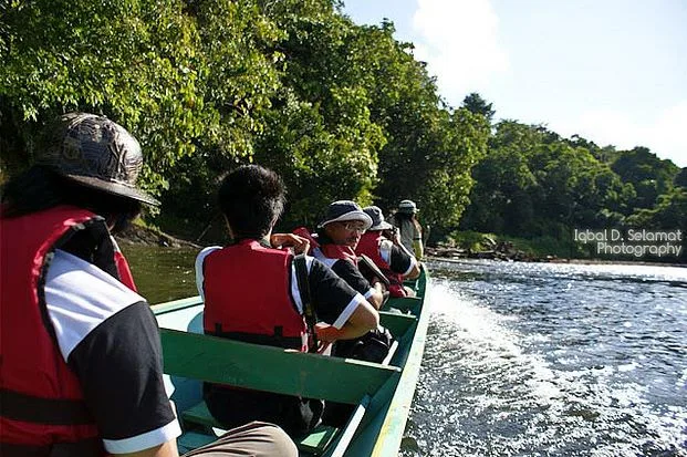
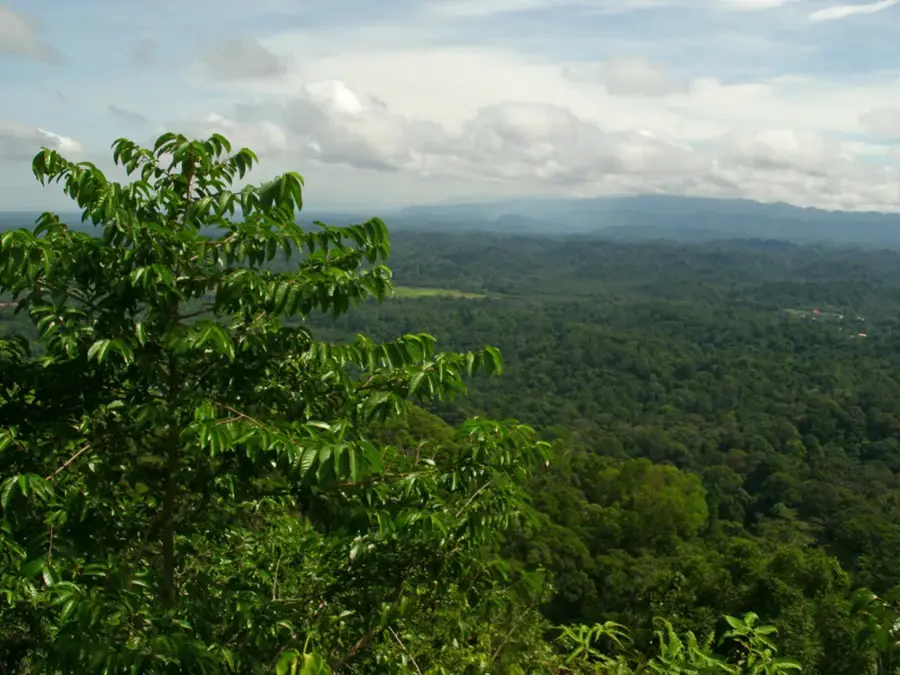
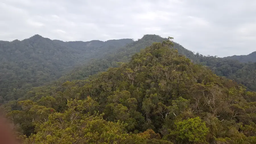
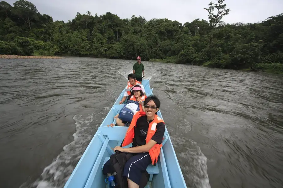
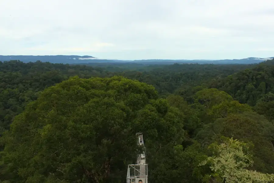
Bukit Belalong, also known as Mount Belalong, is a significant mountain within Brunei's Ulu Temburong National Park. Standing at approximately 913 meters, it serves as a focal point for scientific research and ecotourism. At its base lies the Kuala Belalong Field Studies Centre (KBFSC), a vital research station operated by Universiti Brunei Darussalam. Scientists from around the world come here to study the unique flora and fauna of the pristine lowland rainforest. For visitors, the mountain is accessible via a network of hiking trails, the highlight of which is the famous canopy walkway. This suspension bridge structure, soaring up to 60 meters above the forest floor, provides sweeping views of the canopy and its inhabitants, such as hornbills and gibbons.
- Location: Brunei
- Nearby: Amo (6 km)
Best time to visit & climate
The most pleasant time to visit is Feb, Mar, Aug.
| Jan | Feb | Mar | Apr | May | Jun | Jul | Aug | Sep | Oct | Nov | Dec | |
|---|---|---|---|---|---|---|---|---|---|---|---|---|
| Avg °C | 25 | 25 | 25 | 26 | 26 | 26 | 25 | 25 | 25 | 25 | 25 | 25 |
| Rain mm | 305 | 161 | 166 | 223 | 242 | 248 | 238 | 224 | 240 | 306 | 315 | 339 |
📋 Practical info
Geography
Facts
- Popular for ecotourism.
- Home to immense biodiversity.
Explore nearby
Notable places around
Route planner — Car & Motorhome
Where do you start? We build the route here, with stops and country notes along the way.
© OpenStreetMap contributors · OpenRouteService
Sights in the town Bukit Belalong (1)
Sights nearby
Frequently asked questions
Where is Bukit Belalong located?
How high is this mountain?
Why is Bukit Belalong important for researchers?
Are there trails to the summit?
What can you see from the summit?
Bukit Belalong: where is it located?
Bukit Belalong: when is the best time to visit?
Bukit Belalong: why is it worth visiting?

Nearby cities

History & landmarks
Nature

More places