Plizio Visual Lab
Bukit Pagon
Weather…
Water temperature…
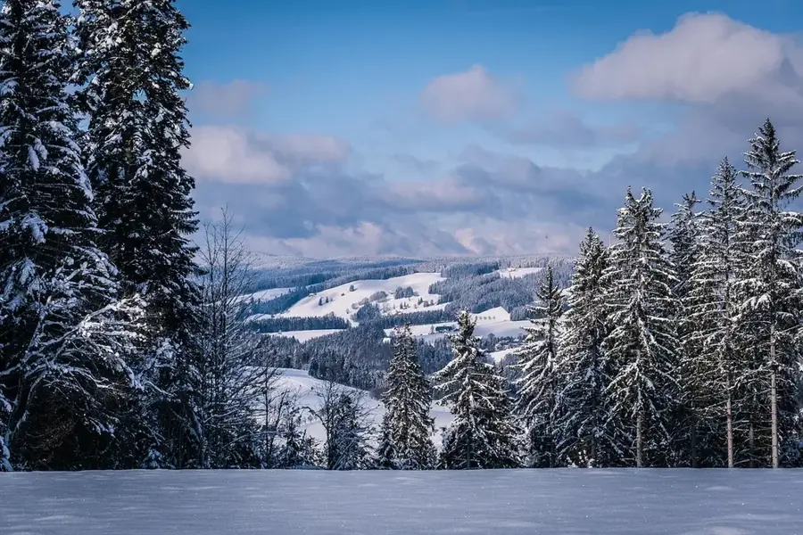
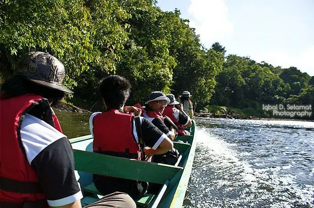
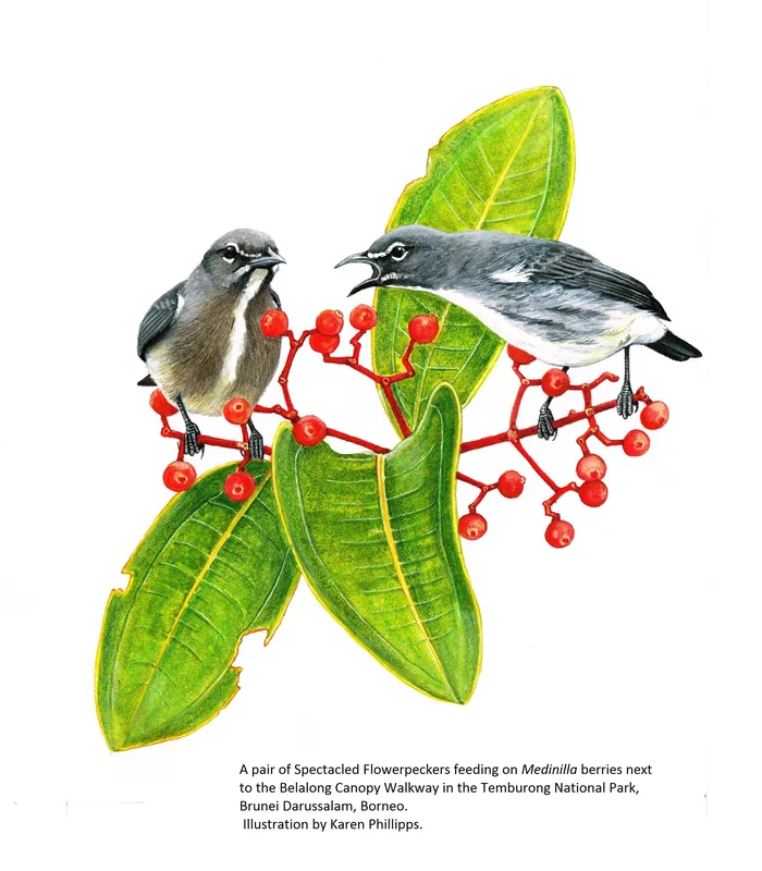
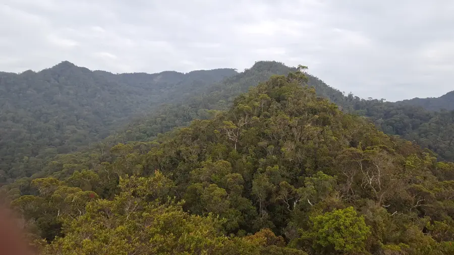
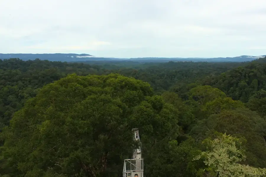
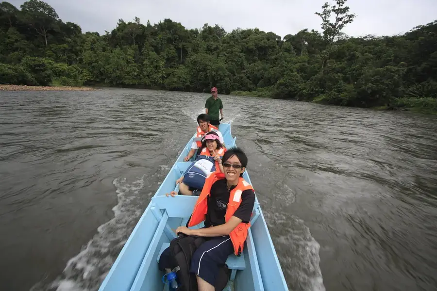
At 1,850 meters, Bukit Pagon is the highest point in Brunei, located in the Temburong district on the border with Malaysia. This mountain is part of the Crocker Range that extends from Sarawak. The landscape is characterized by pristine tropical rainforest, which is home to immense biodiversity. Due to its remote location and challenging terrain, the summit is accessible only to experienced and well-prepared hikers. The region is an important water catchment area and plays a crucial role in the ecological balance of Borneo. Research in the area has documented numerous endemic plant and animal species, highlighting its conservation significance. Geologically, the mountain is a complex formation of sandstone and shale.
- Location: Brunei
- Nearby: Batu Apoi (21 km)
Best time to visit & climate
The most pleasant time to visit is Feb, Mar, Aug.
| Jan | Feb | Mar | Apr | May | Jun | Jul | Aug | Sep | Oct | Nov | Dec | |
|---|---|---|---|---|---|---|---|---|---|---|---|---|
| Avg °C | 21 | 21 | 22 | 22 | 22 | 22 | 21 | 21 | 22 | 21 | 22 | 21 |
| Rain mm | 260 | 151 | 169 | 223 | 254 | 254 | 247 | 230 | 248 | 315 | 306 | 298 |
📋 Practical info
Geography
Facts
- Elevation: 1850 meters.
- Located in the Temburong district.
Explore nearby
Notable places around
Route planner — Car & Motorhome
Where do you start? We build the route here, with stops and country notes along the way.
© OpenStreetMap contributors · OpenRouteService
Sights in the town Bukit Pagon (1)
Sights nearby
Frequently asked questions
What is the geographical significance of Bukit Pagon?
What is the climate like on Bukit Pagon?
Can you climb the mountain without a guide?
What kind of terrain should hikers expect?
Is there any tourist infrastructure there?
Bukit Pagon: where is it located?
Bukit Pagon: when is the best time to visit?
Bukit Pagon: why is it worth visiting?

Nearby cities
History & landmarks
Nature

More places