Plizio Visual Lab
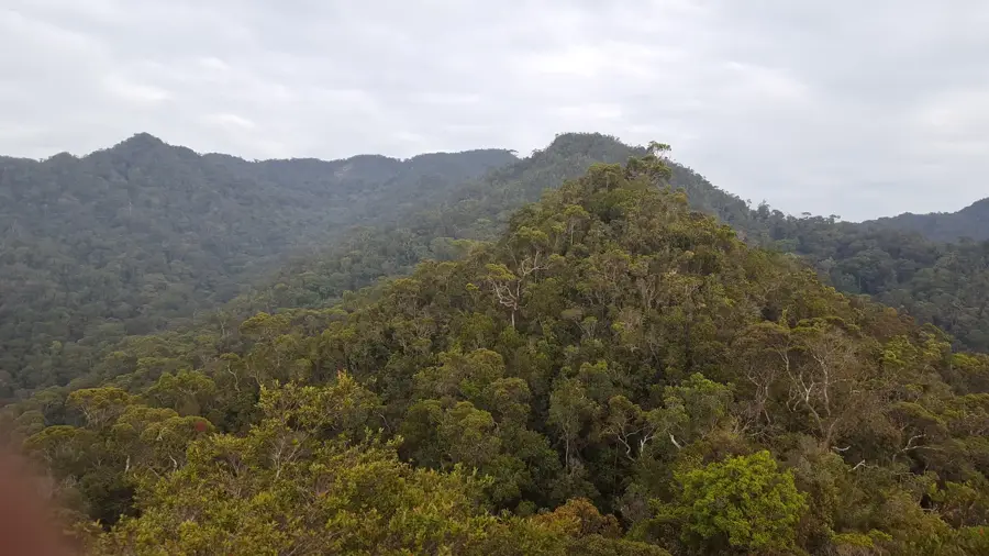
Bukit Pagon

Weather…
Water temperature…
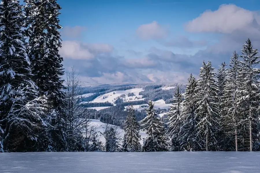
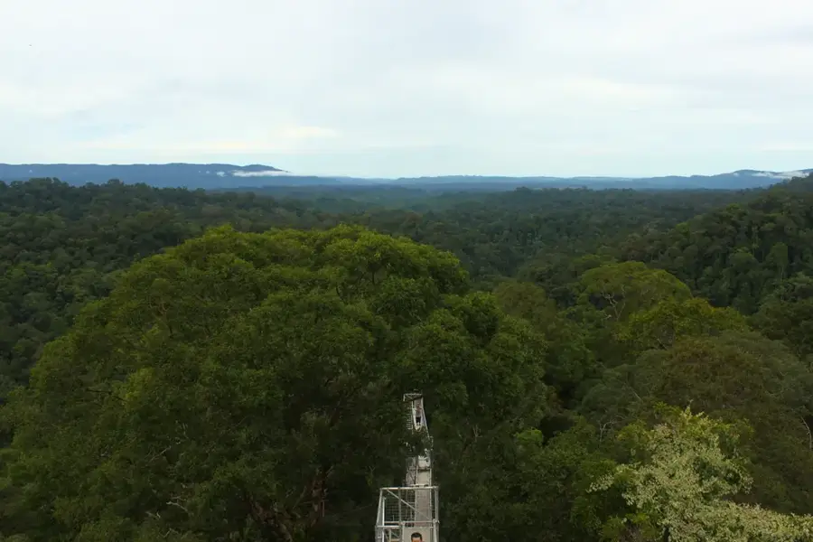
Bukit Pagon, standing at an elevation of 1,850 meters, is the highest mountain in Brunei, located on the border between the Temburong District and the Malaysian state of Sarawak. Due to its significant altitude, it hosts unique montane ecosystems that differ markedly from the lowland rainforests found in the rest of the country. The summit area is frequently shrouded in clouds, leading to the development of mossy cloud forests where rare pitcher plants (Nepenthes) and rhododendrons thrive. Geologically, the mountain belongs to the central highlands of Borneo and consists of complex sedimentary rocks. The region is extremely remote and difficult to access, which has helped preserve nature in an absolutely pristine state. Bukit Pagon is of great interest to scientists, particularly for the study of endemic species and the impacts of climate change on high-altitude biotopes. Ascents are logistically demanding and require special permits as well as experienced guides.
- Location: Brunei
- Nearby: Batu Apoi (17 km)
Best time to visit & climate
The most pleasant time to visit is Feb, Mar, Aug.
| Jan | Feb | Mar | Apr | May | Jun | Jul | Aug | Sep | Oct | Nov | Dec | |
|---|---|---|---|---|---|---|---|---|---|---|---|---|
| Avg °C | 21 | 21 | 22 | 22 | 22 | 22 | 21 | 21 | 22 | 21 | 22 | 21 |
| Rain mm | 260 | 151 | 169 | 223 | 254 | 254 | 247 | 230 | 248 | 315 | 306 | 298 |
📋 Practical info
Geography
Facts
- At 1,850 meters, it is the highest point in all of Brunei.
- The mountain sits exactly on the international border with Malaysia.
- The rare pitcher plant Nepenthes lowii is found here.
- The climate at the summit is significantly cooler than in the lowlands.
- The mountain is part of the Bukit Pagon Nature Reserve.
- Expeditions to the summit typically take several days to complete.
Explore nearby
Notable places around
Route planner — Car & Motorhome
Where do you start? We build the route here, with stops and country notes along the way.
© OpenStreetMap contributors · OpenRouteService
Sights nearby
Frequently asked questions
How high is Bukit Pagon?
Is the peak easy to reach?
Where is the mountain located?
What vegetation is found there?
Do I need to get a permit?
Bukit Pagon: where is it located?
Bukit Pagon: when is the best time to visit?
Bukit Pagon: why is it worth visiting?

Nearby cities
History & landmarks
Nature
More places