Plizio Visual Lab
Bukit Pagon Cloud Forest Zone
Weather…
Water temperature…
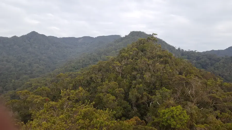
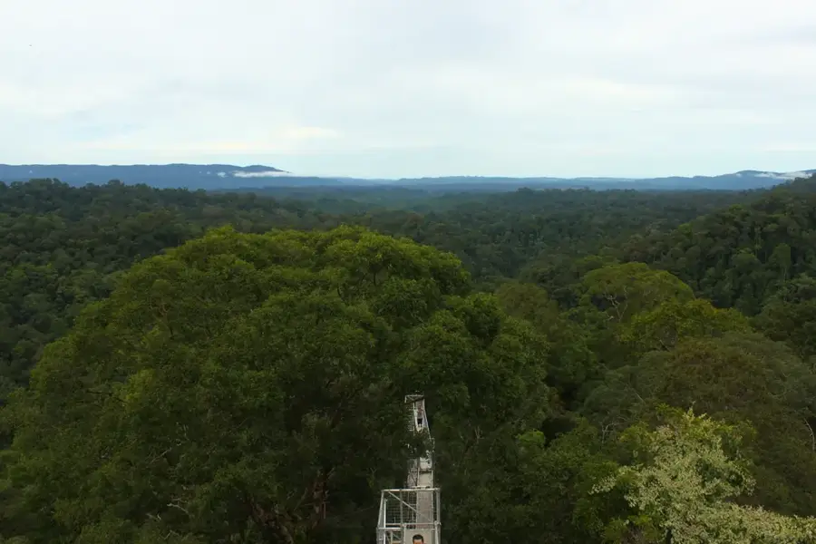
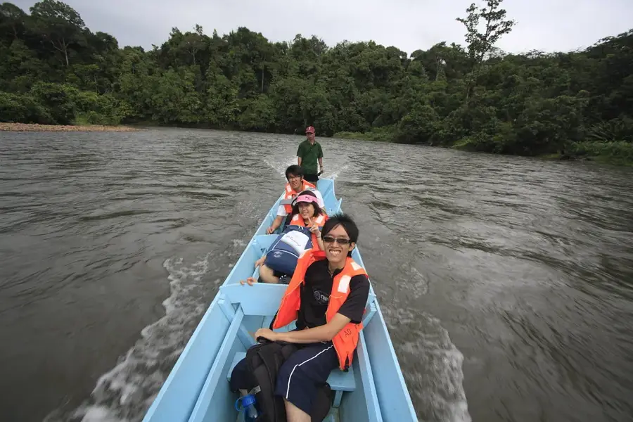
Bukit Pagon stands as the highest peak in Brunei Darussalam, reaching an elevation of 1,850 meters above sea level on the border with the Malaysian state of Sarawak in the Temburong District. The Cloud Forest Zone, typically found above 1,500 meters, is characterized by near-constant mist and cloud cover, which fosters a unique and fragile montane ecosystem. This environment is home to diverse and rare flora, including specialized pitcher plants such as Nepenthes lowii, which have evolved to thrive in the nutrient-poor soils and high humidity of the highlands. As part of the pristine Heart of Borneo, this region is crucial for the sultanate's biodiversity conservation efforts, remaining largely untouched by human development due to its remote location and challenging terrain. The area serves as a vital sanctuary for endemic wildlife and plays a significant role in the regional hydrological cycle. Scientific research in these high-altitude forests continues to provide insights into the complex ecological adaptations required for life in one of Southeast Asia's most inaccessible wilderness areas.
- Location: Brunei
- Nearby: Batu Apoi (18 km)
Best time to visit & climate
The most pleasant time to visit is Feb, Mar, Aug.
| Jan | Feb | Mar | Apr | May | Jun | Jul | Aug | Sep | Oct | Nov | Dec | |
|---|---|---|---|---|---|---|---|---|---|---|---|---|
| Avg °C | 21 | 21 | 22 | 22 | 22 | 22 | 21 | 21 | 22 | 21 | 22 | 21 |
| Rain mm | 260 | 151 | 169 | 223 | 254 | 254 | 247 | 230 | 248 | 315 | 306 | 298 |
📋 Practical info
Geography
Facts
- The peak reaches an elevation of 1,850 meters.
- It is the highest geographical point in Brunei.
- Home to the rare pitcher plant species Nepenthes lowii.
- Located on the international border with Malaysia.
- Cloud forest characteristics appear above 1,500 meters.
- Part of the global 'Heart of Borneo' conservation area.
Explore nearby
Notable places around
Route planner — Car & Motorhome
Where do you start? We build the route here, with stops and country notes along the way.
© OpenStreetMap contributors · OpenRouteService
Sights nearby
Frequently asked questions
What is a cloud forest?
Is Bukit Pagon easy to reach?
What plants grow there?
How high is Bukit Pagon?
Is the climate different there?
Bukit Pagon Cloud Forest Zone: where is it located?
Bukit Pagon Cloud Forest Zone: when is the best time to visit?
Bukit Pagon Cloud Forest Zone: why is it worth visiting?

Nearby cities
History & landmarks
Nature
More places