Plizio Visual Lab
Kozara National Park

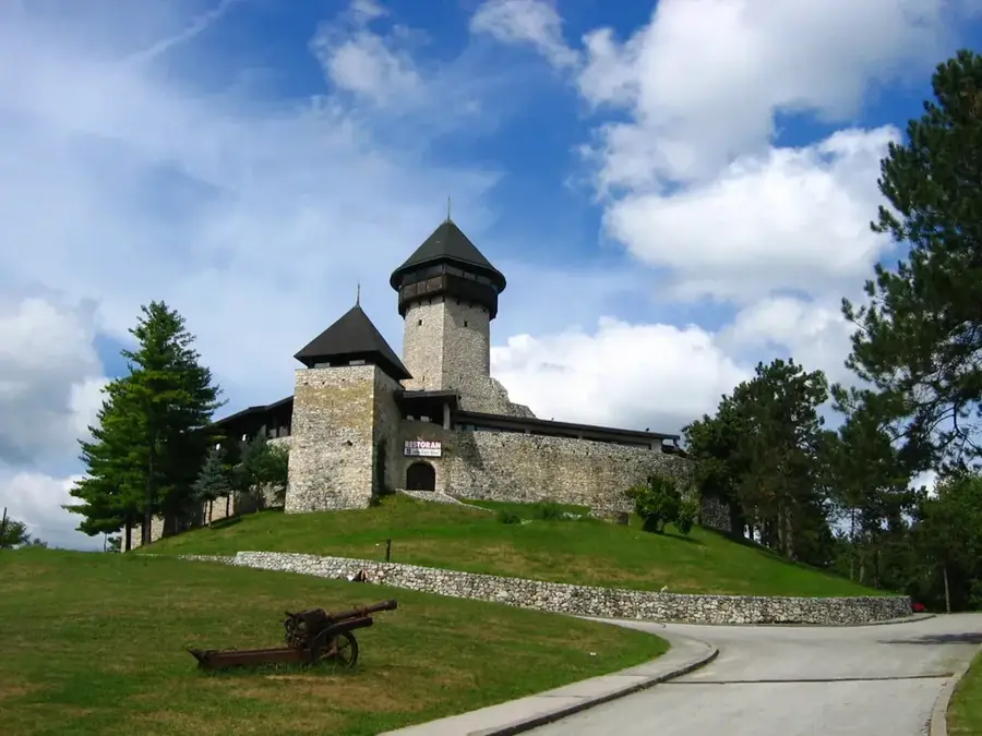
Kozara National Park was established in 1967 and spans an area of approximately 33.75 square kilometers in the northwestern part of Bosnia and Herzegovina. The park is often referred to as the 'Green Island' because it is surrounded by the fertile plains of the Sava, Una, Sana, and Vrbas rivers. Historically, the region is famous for the 1942 Kozara Offensive during World War II, a pivotal event commemorated by a massive concrete monument on the Mrakovica peak. The landscape is characterized by dense forests of beech, fir, and pine, which support a diverse ecosystem including deer, wild boars, and various raptors. Geologically, Kozara belongs to the Dinaric Alps, with the highest point being the Lisina peak at 978 meters above sea level. Today, the park serves as both a historical memorial site and a premier destination for outdoor activities such as hiking, rock climbing, and seasonal skiing.
- Location: Bosnia and Herzegovina
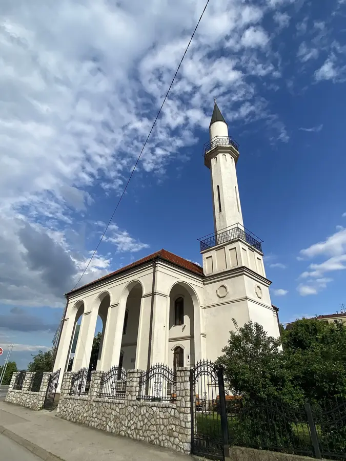
- Top sights: Kozara National Park · Zečiji kamen · Jankovića kamen
- Nearby: Mlječanica (7 km)
Best time to visit & climate
The most pleasant time to visit is Jun–Aug.
| Jan | Feb | Mar | Apr | May | Jun | Jul | Aug | Sep | Oct | Nov | Dec | |
|---|---|---|---|---|---|---|---|---|---|---|---|---|
| Avg °C | 0 | 2 | 6 | 11 | 16 | 20 | 22 | 22 | 17 | 12 | 7 | 1 |
| Rain mm | 68 | 68 | 67 | 71 | 95 | 86 | 67 | 73 | 100 | 84 | 86 | 77 |
📋 Practical info
Geography
Facts
- Year established: 1967
- Total area: 33.75 km²
- Highest peak: Lisina (978 m)
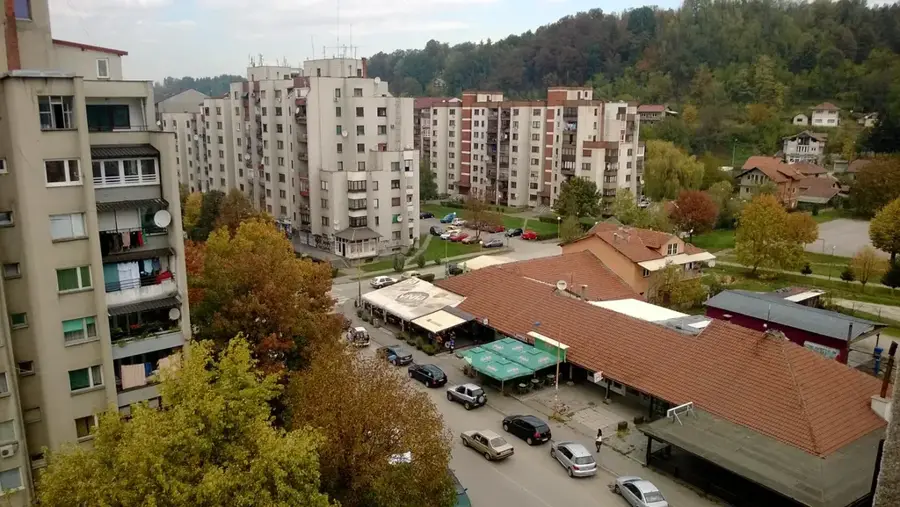
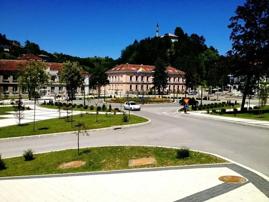
- Location: North of Prijedor
- Monument height: 33 meters
- Forest cover: Over 90% of the territory
Explore nearby
Notable places around
Route planner — Car & Motorhome
Where do you start? We build the route here, with stops and country notes along the way.
© OpenStreetMap contributors · OpenRouteService
Sights in the town Kozara National Park (3)
Sights nearby
Frequently asked questions
What is the most famous monument in Kozara National Park?
Are there skiing facilities in the park?
Is there an entry fee for the national park?
What activities are offered in summer?
Are there hotels or restaurants within the park?
Kozara National Park: where is it located?
Kozara National Park: what is there to see?
Kozara National Park: when is the best time to visit?
Kozara National Park: why is it worth visiting?
Nearby cities