Plizio Visual Lab
Gelephu
ℹ️Practical info — Gelephu
▾
🌤 Weather — 5 days
📍 Nearby
Sights nearby
💡 Tips
- Visit the Gelephu Tshachu (hot springs) early in the morning for a relaxing soak before the crowds arrive.
- Since it's a border town, carry your passport and necessary permits when exploring areas close to the Indian border.
- The climate here is much warmer and more tropical than the rest of Bhutan, so dress in light, breathable clothing.
- Hiring a local taxi is the best way to get around the town and nearby nature spots.
🍽 Food
Try this spicy chili and cheese dish at local Bhutanese eateries in the center.
Buy seasonal fruits like bananas and oranges at the local markets, thanks to the warm climate.
Enjoy these steamed or fried dumplings widely available in small street cafes.
🛍 Shopping · 🧘 Quiet spots
A bustling market for fresh produce, local spices, and Bhutanese ingredients.
Look for small artisan shops selling traditional Bhutanese fabrics.
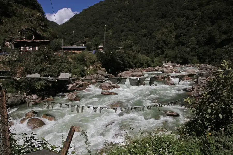
Take a peaceful stroll along the riverbed during the dry season.
Enjoy a quiet walk through the lush green agricultural zones just outside the town.
Water temperature…
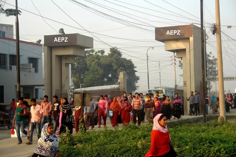
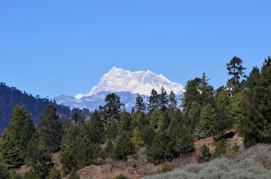
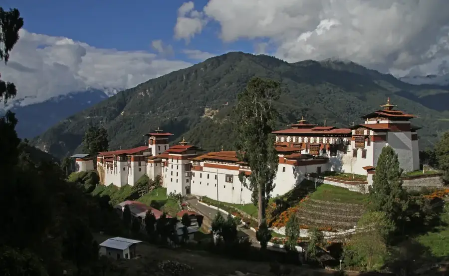
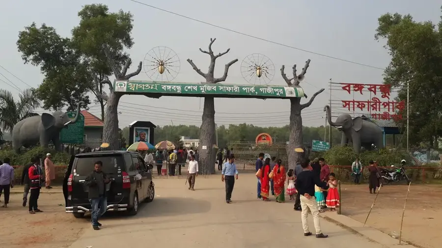
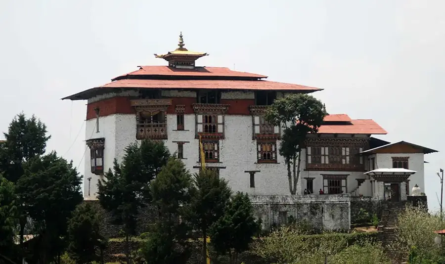
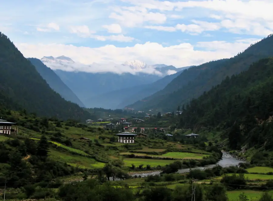
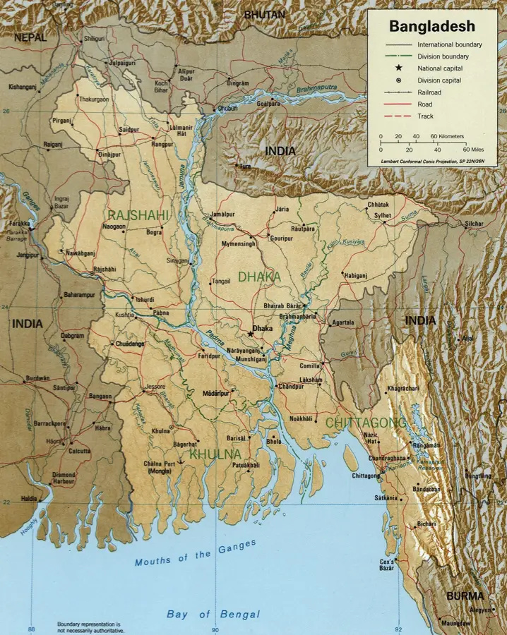
Gelephu is a town in southern Bhutan in Sarpang District, near the border with India, at an elevation of about 300 meters. Its population is approximately 9,800 (2017). It serves as a major border crossing for trade and a regional center for agriculture and forestry. Key agricultural products include cardamom and ginger. Gelephu has a domestic airport with flights to Thimphu and other towns. The climate is subtropical, with hot summers and heavy monsoon rains. The population is ethnically mixed, with Bhutanese, Nepali, and Indian communities. Nearby forests are habitat for Asian elephants and Bengal tigers. Gelephu is part of Bhutan's southern economic corridor development plan. The town features basic amenities like a hospital, schools, and markets. Its strategic location makes it a potential hub for cross-border commerce and tourism.
- Location: Bhutan
- Top sights: Tali Dratshang · Buddha Statue · Chuzagang Hidu Mandir
- Nearby: Zhemgang (17 km)
- Population: ~9.858 (2025)
Best time to visit & climate
The most pleasant time to visit is Mar, Oct, Nov.
| Jan | Feb | Mar | Apr | May | Jun | Jul | Aug | Sep | Oct | Nov | Dec | |
|---|---|---|---|---|---|---|---|---|---|---|---|---|
| Avg °C | 10 | 12 | 15 | 18 | 20 | 22 | 22 | 22 | 21 | 19 | 15 | 12 |
| Rain mm | 5 | 16 | 45 | 183 | 250 | 320 | 370 | 278 | 222 | 114 | 8 | 3 |
Geography
Facts
- Elevation: approx. 300 m.
- Population (2017): approx. 9,800.
- Annual rainfall: >2,500 mm.
- Airport: domestic flights to Thimphu.
- Airport opened: 2011.
- Key crops: cardamom, ginger.
Explore nearby
Notable places around
Route planner — Car & Motorhome
Where do you start? We build the route here, with stops and country notes along the way.
© OpenStreetMap contributors · OpenRouteService
Sights in the town Gelephu (6)
Chuzagang Temple
Chuzagang Temple in Gelephu is a Buddhist temple.
Yagyaswor Mahadev Shivalaya Mandir
Yagyaswor Mahadev Shivalaya Mandir in Gelephu is a Hindu temple.
Frequently asked questions
Where is Gelephu located?
What is special about this region?
What is the weather like in Gelephu?
Is there agriculture there?
Is it a tourist center?
Gelephu: where is it located?
Gelephu: what is there to see?
Gelephu: when is the best time to visit?
Gelephu: why is it worth visiting?

Nearby cities
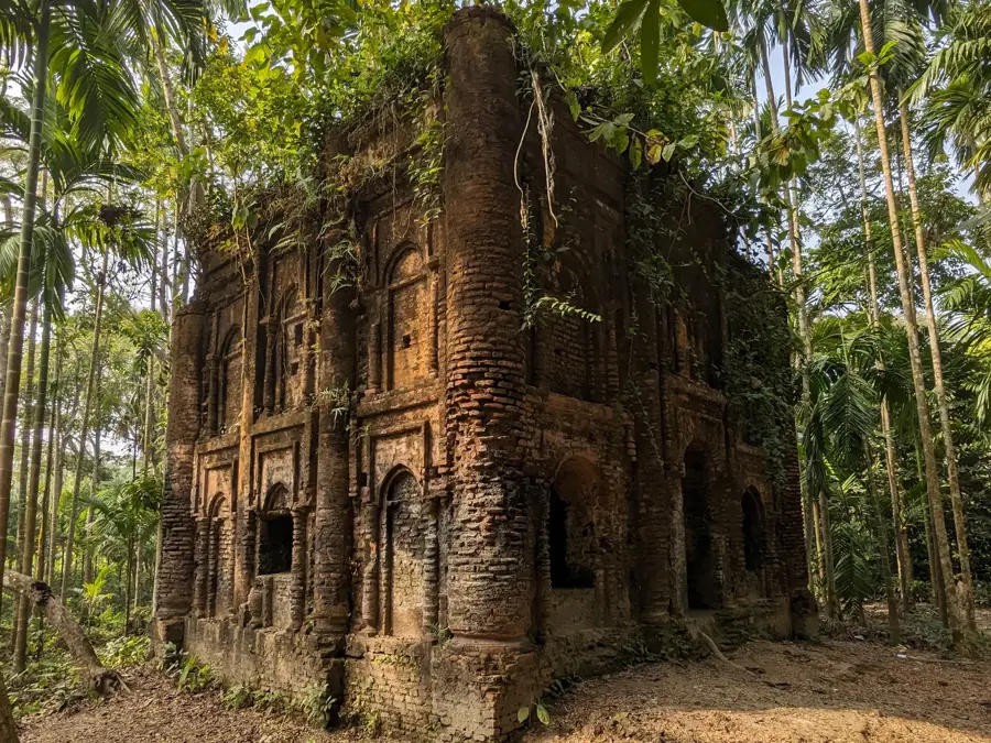
History & landmarks


Nature
More places