Plizio Visual Lab
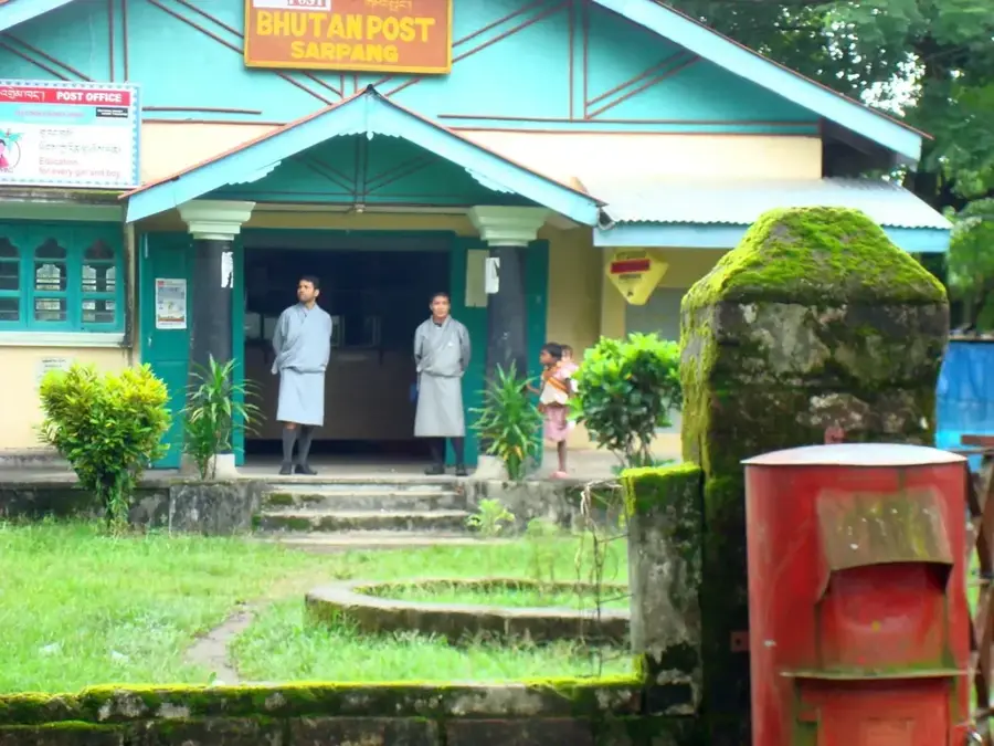
Sarpang
ℹ️Practical info — Sarpang
▾
🌤 Weather — 5 days
📍 Nearby
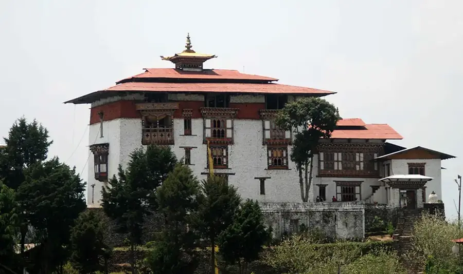
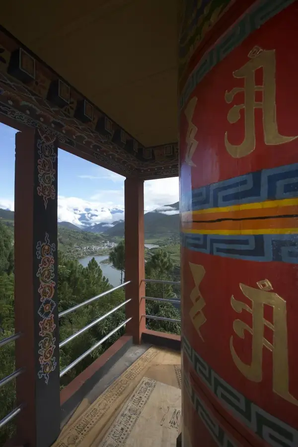
Sights nearby
💡 Tips
- The region experiences heavy monsoon rains; waterproof gear is essential if traveling in summer.
- Sarpang is very close to the Indian border, giving it a unique cross-cultural atmosphere.
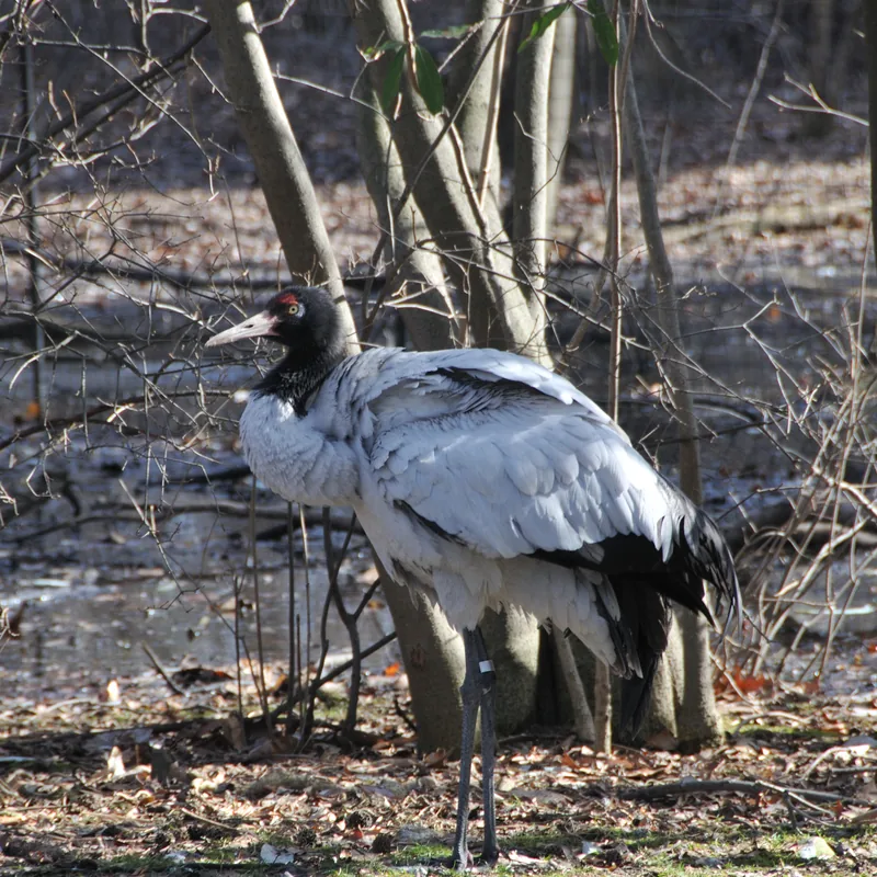
- Be aware of wildlife if traveling on the outskirts, especially elephants in the dense jungle.
- It's a great starting point for exploring the southern foothills; hire a local guide for forest trails.
🍽 Food
Featuring a mix of lentils, rice, and vegetable curries.
Dumplings sold in local cafes around the administrative block.
Locally grown oranges and mandarin products during the winter season.
🛍 Shopping · 🧘 Quiet spots
The weekly spot for fresh spices and jungle produce.
Hand-crafted baskets commonly used for agricultural purposes.
The buffer zones offer serene jungle environments.
The peaceful campus of the local government during off-hours.
Water temperature…
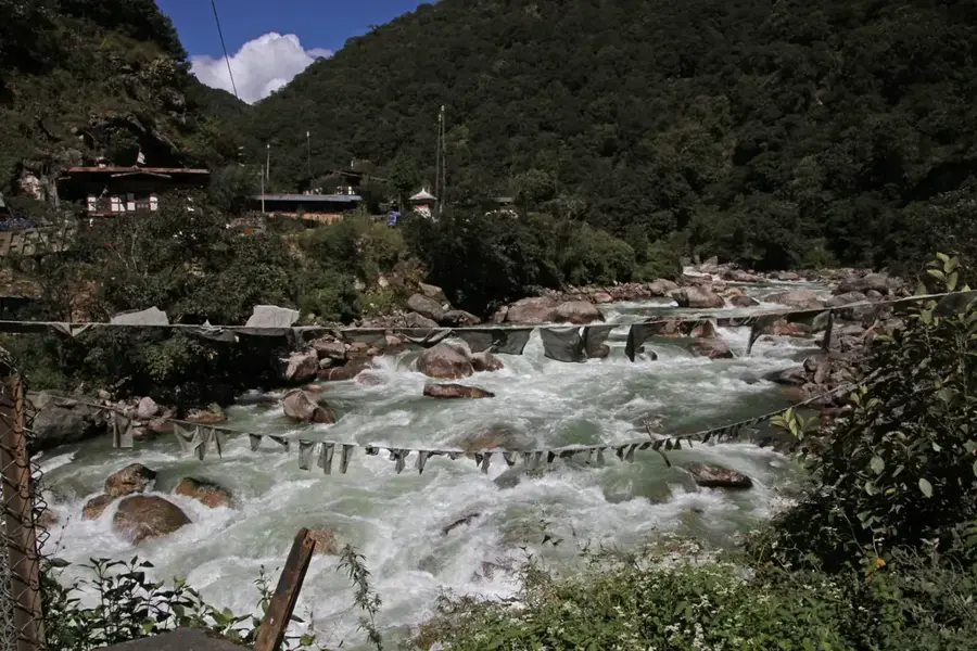
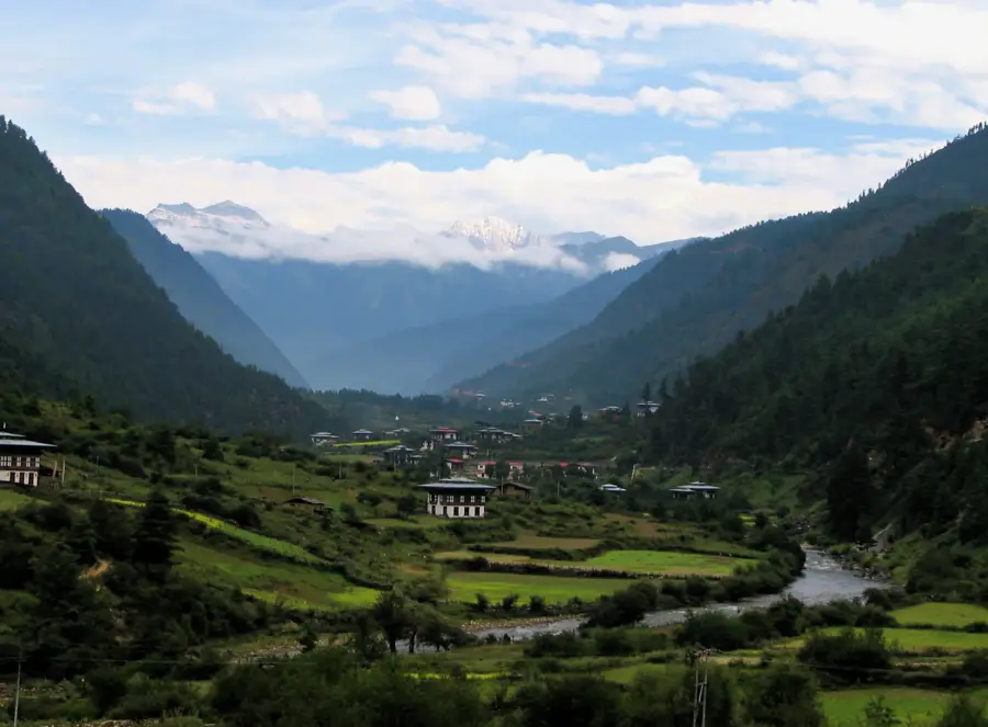
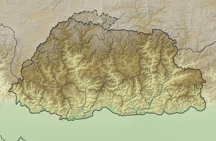
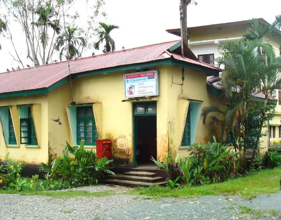
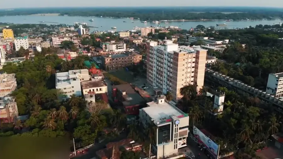
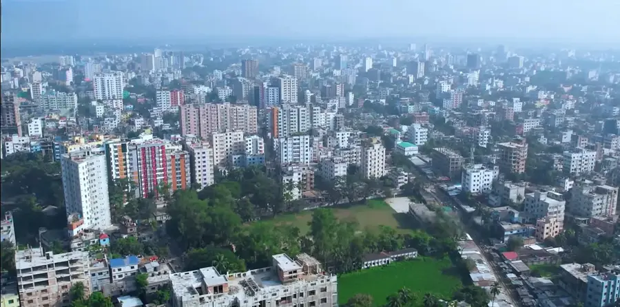
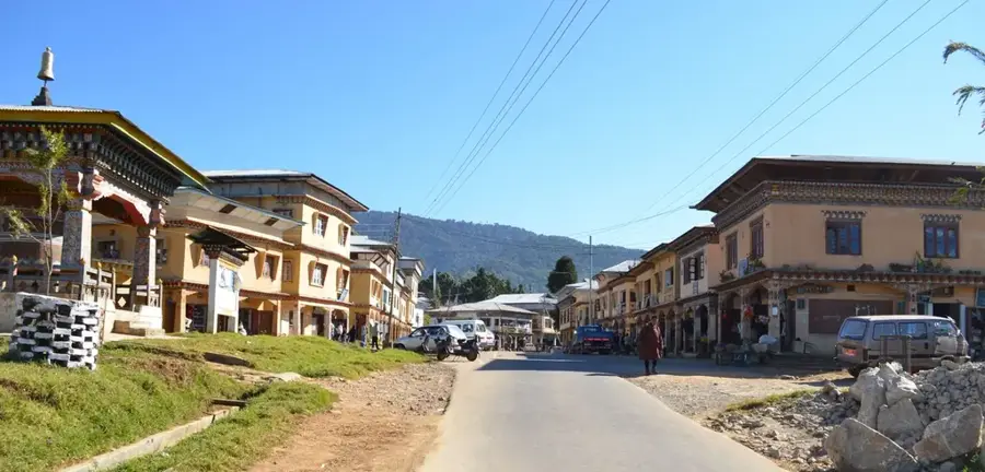
Sarpang is the administrative center of the Sarpang District in southern Bhutan, situated directly along the Indian border. The town serves as a vital economic gateway and transit hub for trade between the Himalayan kingdom and the Indian state of Assam. Geographically, the settlement lies in the foothills of the Himalayas, characterized by a subtropical climate and lush vegetation. Historical records indicate that Sarpang has long been a strategic point for managing trans-border interactions and regional administration. The town infrastructure includes government offices, schools, and commercial facilities that support the local population. In recent years, development projects have focused on improving connectivity and enhancing the town's role as a regional urban center. Its proximity to the Phibsoo Wildlife Sanctuary adds to its significance in terms of biodiversity conservation in the southern belt of the country.
- Location: Bhutan
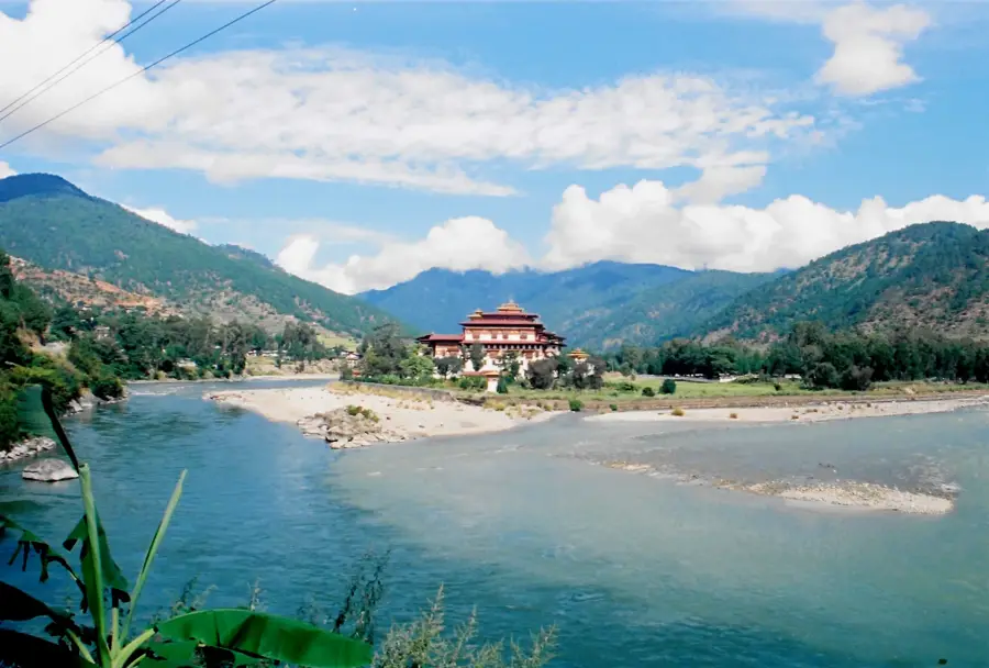
- Nearby: Phobjikha Valley (11 km)
- Population: ~10.416 (2026)
Best time to visit & climate
The most pleasant time to visit is Mar, Oct, Nov.
| Jan | Feb | Mar | Apr | May | Jun | Jul | Aug | Sep | Oct | Nov | Dec | |
|---|---|---|---|---|---|---|---|---|---|---|---|---|
| Avg °C | 10 | 12 | 15 | 18 | 20 | 22 | 22 | 22 | 21 | 19 | 15 | 12 |
| Rain mm | 5 | 16 | 45 | 183 | 250 | 320 | 370 | 278 | 222 | 114 | 8 | 3 |
Geography
Facts
- Sarpang lies at an average elevation of approximately 175 meters.
- The town is the headquarters of the Sarpang District in southern Bhutan.
- It is situated directly on the border with the Indian state of Assam.
- The Phibsoo Wildlife Sanctuary is located west of the town along the border.
- Gelephu Airport is the primary regional airport serving the Sarpang District.
- The region is known for the commercial production of oranges and cardamom.
Explore nearby
Notable places around
Route planner — Car & Motorhome
Where do you start? We build the route here, with stops and country notes along the way.
© OpenStreetMap contributors · OpenRouteService
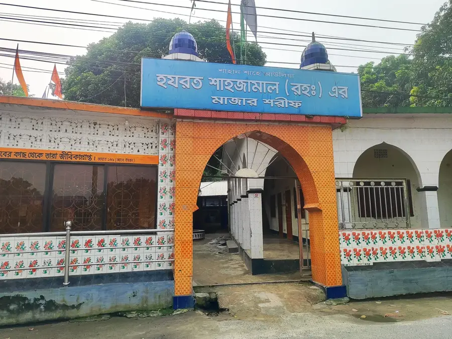
Sights in the town Sarpang (1)
Frequently asked questions
Where is Sarpang located?
What is the Gelephu Mindfulness City project?
What is the landscape like in Sarpang?
When is the best time for Sarpang?
Can you go on safaris in the area?
Sarpang: where is it located?
Sarpang: when is the best time to visit?
Sarpang: why is it worth visiting?

Nearby cities
History & landmarks

Nature

More places