Plizio Visual Lab
Meghna River
Weather…
Water temperature…
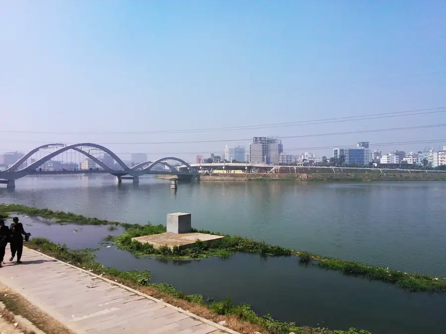
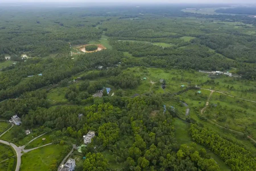
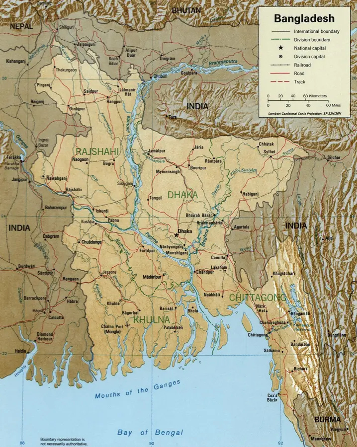
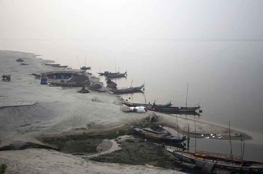
The Meghna River is one of the three principal rivers of Bangladesh, forming the eastern part of the vast Ganges-Brahmaputra Delta. It originates in the northeast of the country at the confluence of the Surma and Kushiyara rivers, both of which have their sources in the Indian state of Manipur. The river is notable for its immense width, which can reach up to 30 kilometers at its estuary where it empties into the Bay of Bengal, making it one of the widest rivers in the world. Its hydrology is dominated by the monsoon cycle, with annual flooding both depositing nutrient-rich silt and causing widespread displacement. Economically, the Meghna serves as a critical navigation route for transporting raw materials such as jute, coal, and natural gas from the northeastern districts to Dhaka and the port of Chittagong. The lower reaches of the river are also a major hub for the Hilsa fishery, which is vital to the national economy. However, climate change and rising sea levels pose significant threats through increased salinity intrusion in the Meghna delta region.
- Location: Bangladesh
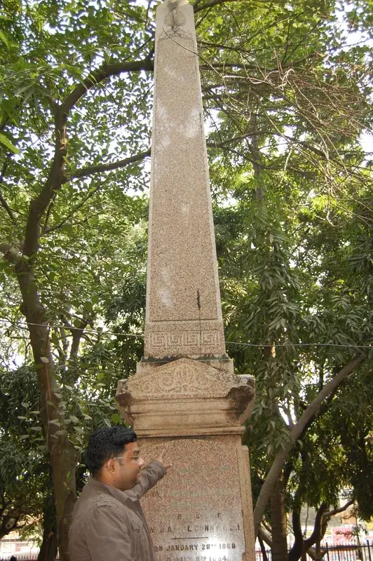
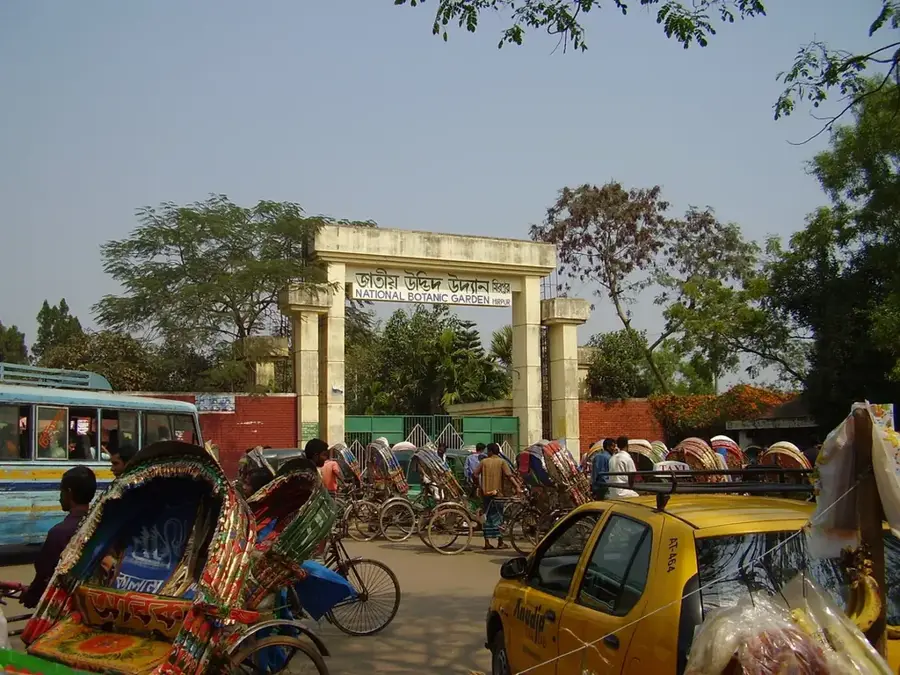
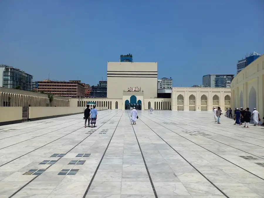
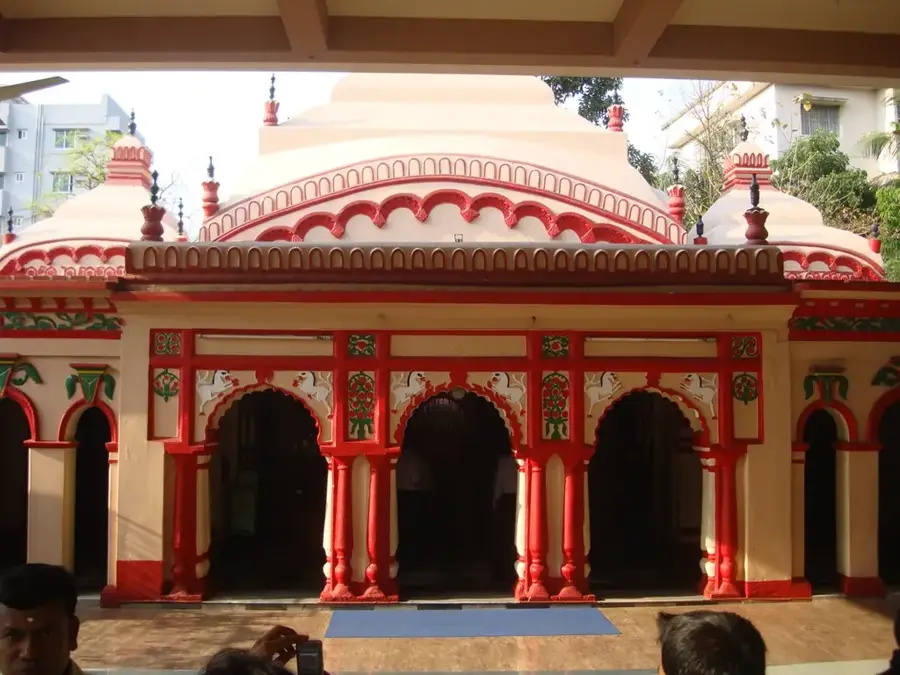
- Top sights: Rajapur Jame Mosque · Mofijul haque sardar bari masque · Pondit bari Mosque
- Nearby: Narsingdi (8 km)
Best time to visit & climate
The most pleasant time to visit is Jan, Feb, Dec.
| Jan | Feb | Mar | Apr | May | Jun | Jul | Aug | Sep | Oct | Nov | Dec | |
|---|---|---|---|---|---|---|---|---|---|---|---|---|
| Avg °C | 18 | 22 | 27 | 29 | 29 | 29 | 28 | 28 | 28 | 26 | 23 | 19 |
| Rain mm | 10 | 21 | 46 | 131 | 283 | 419 | 530 | 424 | 326 | 213 | 47 | 18 |
📋 Practical info
Geography
Facts
- The estuary of the Meghna River is approximately 30 km wide.
- The river reaches depths of over 100 meters, making it the deepest in the country.
- It transports an estimated 1.1 billion tons of sediment annually.
- The Surma-Meghna river system has a total length of about 946 km.
- Major inland ports like Chandpur and Bhairab Bazar are located along the Meghna.
- Tidal surges in the lower reaches can create dangerous tidal bores.
Explore nearby
Notable places around
Route planner — Car & Motorhome
Where do you start? We build the route here, with stops and country notes along the way.
© OpenStreetMap contributors · OpenRouteService
Sights in the town Meghna River (6)
Sights nearby
Frequently asked questions
How wide is the Meghna?
Where does the Meghna empty?
Are there river dolphins in the Meghna?
What is the biggest danger at the river?
Can you go on a cruise?
Meghna River: where is it located?
Meghna River: what is there to see?
Meghna River: when is the best time to visit?
Meghna River: why is it worth visiting?

History & landmarks

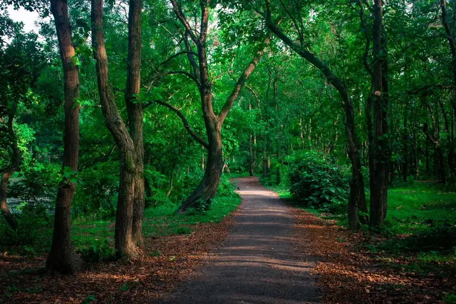
Nature
More places