Plizio Visual Lab
Croix Scaille
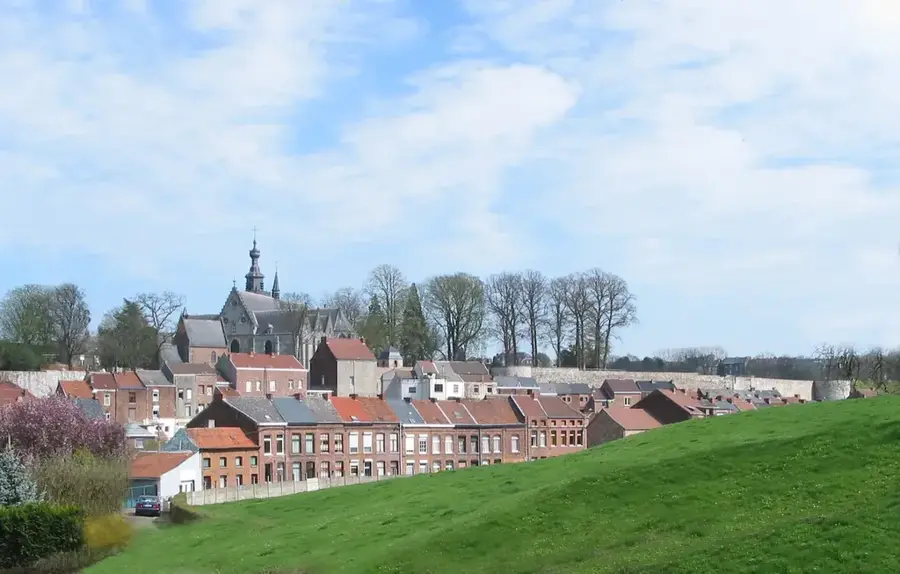
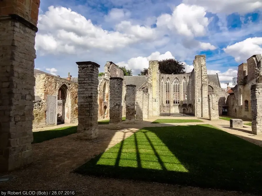
Croix Scaille is a forested plateau situated on the border between Belgium and France, serving as the highest point in the province of Namur at 504 meters. Geologically, the massif belongs to the foothills of the Ardennes and is primarily composed of ancient Cambrian rock, making it one of the oldest geological zones in the region. The landscape is characterized by dense forests and the Fange de l'Abîme peat bog, which provides a vital habitat for rare plant and animal species. A prominent feature of the plateau is the Tour du Millénaire, a 60-meter-high observation tower that provides sweeping views across both the Belgian and French Ardennes. During World War II, this remote region was a significant stronghold for the Belgian Resistance (Maquis de Gedinne). Today, Croix Scaille is a popular destination for hikers who value its pristine nature and the historical significance of the borderlands. Management of the area is conducted cross-border to ensure the long-term ecological preservation of this unique forest tract.
- Location: Belgium
- Top sights: Tour du Millénaire · Ermitage · Bassin
- Nearby: Dinant (34 km)
Best time to visit & climate
The most pleasant time to visit is Jun–Aug.
| Jan | Feb | Mar | Apr | May | Jun | Jul | Aug | Sep | Oct | Nov | Dec | |
|---|---|---|---|---|---|---|---|---|---|---|---|---|
| Avg °C | 1 | 1 | 5 | 9 | 12 | 16 | 18 | 18 | 14 | 10 | 5 | 2 |
| Rain mm | 83 | 71 | 67 | 51 | 72 | 73 | 74 | 83 | 56 | 69 | 77 | 92 |
📋 Practical info
Geography
Facts
- The height of the plateau is exactly 504 meters
- The Tour du Millénaire observation tower stands 60 meters tall
- The plateau is composed of rocks dating back to the Cambrian period
- It is located directly on the border with the French department of Ardennes
- The Fange de l'Abîme is a strictly protected nature reserve
- The observation tower features a total of 234 steps
Explore nearby
Notable places around
Route planner — Car & Motorhome
Where do you start? We build the route here, with stops and country notes along the way.
© OpenStreetMap contributors · OpenRouteService
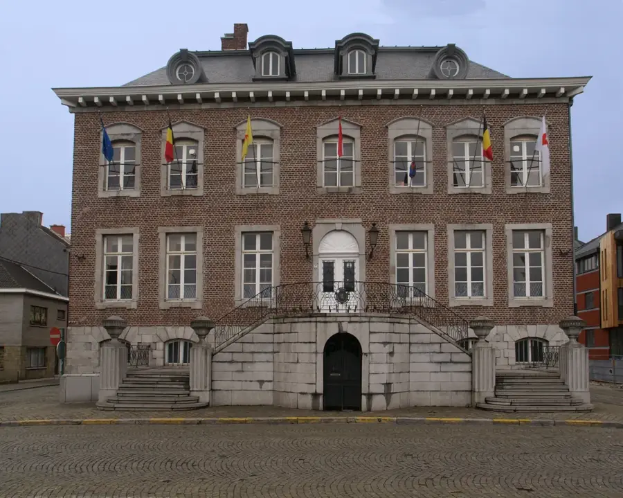
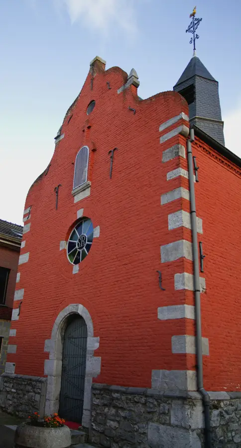
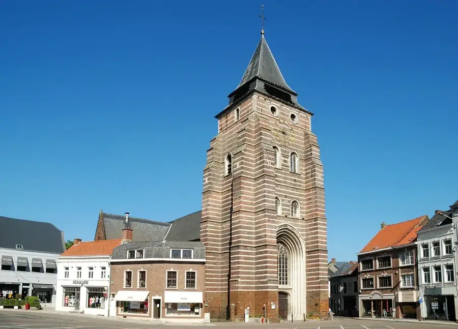
Sights in the town Croix Scaille (5)
Sights nearby
Frequently asked questions
What is the Croix Scaille?
What attraction is there at the summit?
How many steps does the tower have?
Is there a moor there?
Where exactly is this place located?
Croix Scaille: where is it located?
Croix Scaille: what is there to see?
Croix Scaille: when is the best time to visit?
Croix Scaille: why is it worth visiting?

Nearby cities