Plizio Visual Lab
Vileyka Lowland
Weather…
Water temperature…
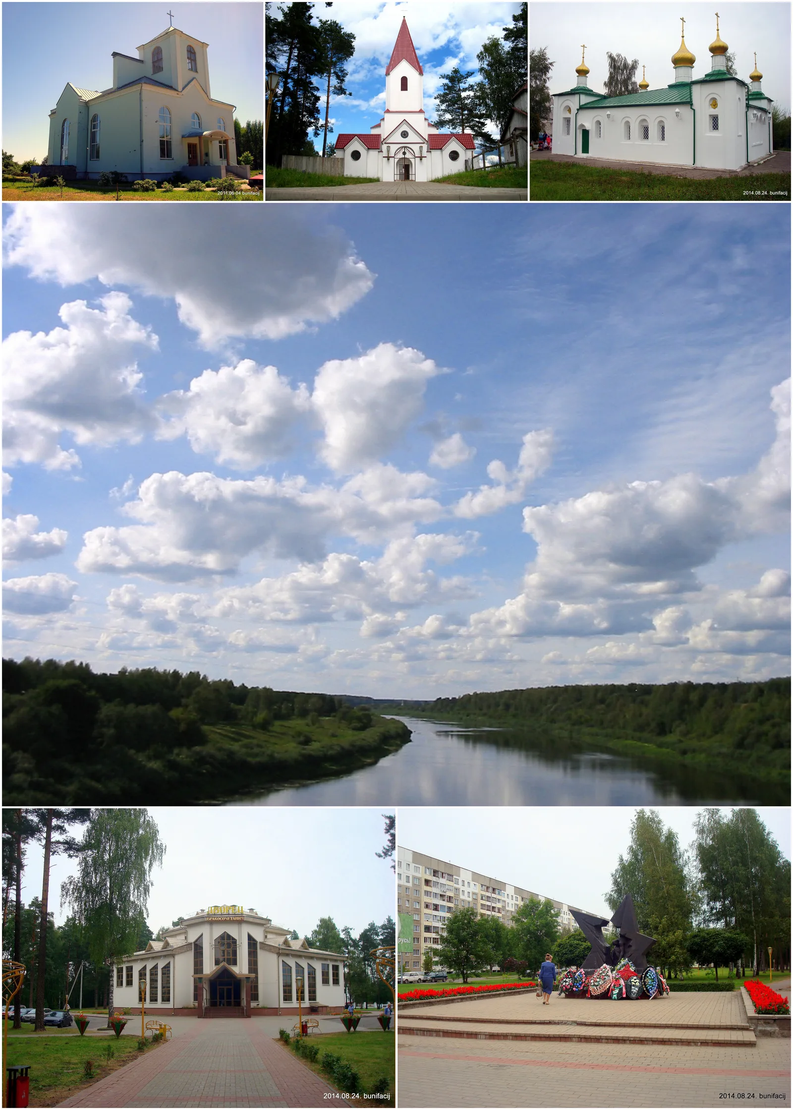
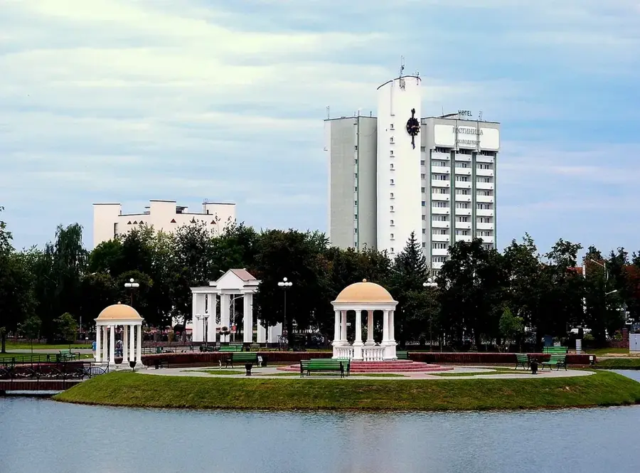
The Vileyka Lowland stretches across northwestern Belarus along the middle basin of the Viliya (Neris) River. With a prevailing elevation ranging from 150 to 180 meters above sea level, the landscape presents itself as a vast, flat to gently undulating sandy plain. Its geological structure stems from massive glaciofluvial meltwater streams that deposited large quantities of sand and fine gravel at the end of the last Ice Age. Today, the region is of immense national importance primarily because of the Vileyka Reservoir. Created in the 1970s to secure the water supply for the capital city of Minsk, this artificial lake spans 73.6 square kilometers, making it the largest man-made body of water in the country and dominating the local scenery. Beyond the reservoir, the lowland is characterized by dense, extensive pine forests that thrive on the nutrient-poor, sandy podzolic soils. Furthermore, the shallow depressions house numerous raised and transitional bogs that serve crucial ecological functions.
- Location: Belarus
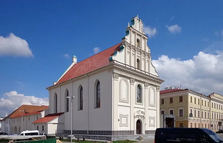
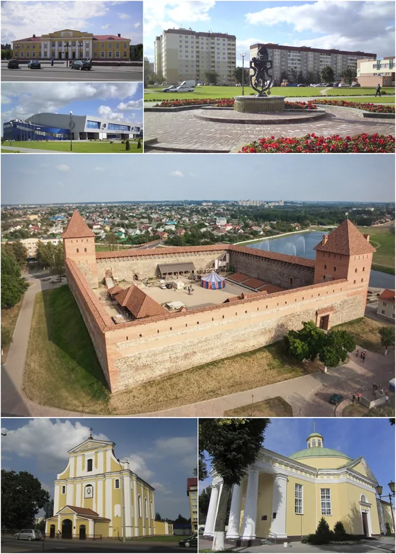
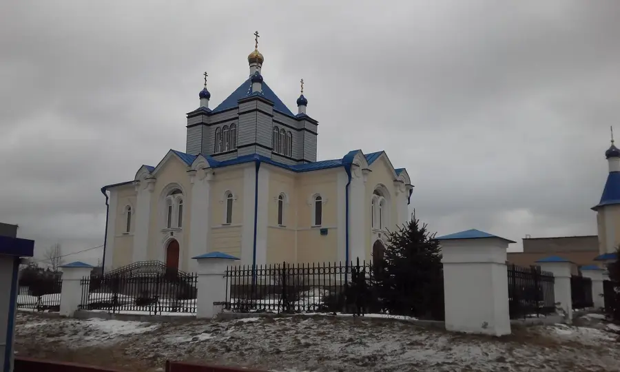
- Nearby: Vileyka (6 km)
Best time to visit & climate
The most pleasant time to visit is Jun–Aug.
| Jan | Feb | Mar | Apr | May | Jun | Jul | Aug | Sep | Oct | Nov | Dec | |
|---|---|---|---|---|---|---|---|---|---|---|---|---|
| Avg °C | -7 | -6 | -1 | 6 | 13 | 16 | 19 | 18 | 12 | 6 | 1 | -4 |
| Rain mm | 52 | 43 | 44 | 48 | 79 | 79 | 103 | 83 | 54 | 67 | 55 | 52 |
📋 Practical info
Geography
Explore nearby
Notable places around
Route planner — Car & Motorhome
Where do you start? We build the route here, with stops and country notes along the way.
© OpenStreetMap contributors · OpenRouteService
Sights nearby
Frequently asked questions
Where is the Vileyka Lowland?
Is the area suitable for recreation?
What is the vegetation like?
Are there many settlements there?
Which rivers flow here?
Vileyka Lowland: where is it located?
Vileyka Lowland: when is the best time to visit?
Vileyka Lowland: why is it worth visiting?

Nearby cities