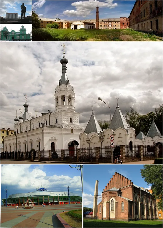
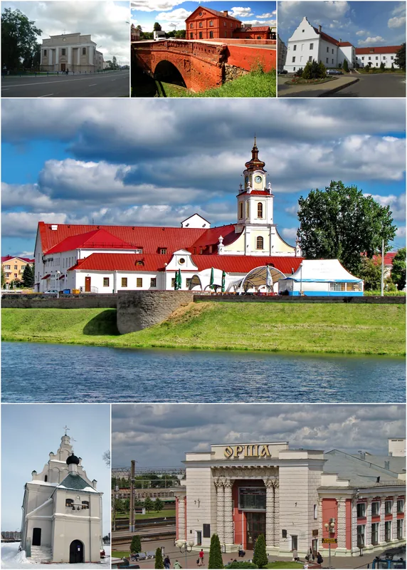
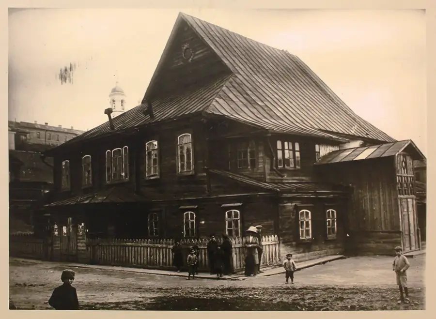
Orsha Ethnographic Museum "Mill"🏛 museum
Ethnographic museum housed in an old mill, showcasing traditional crafts and daily life.
Plizio Visual Lab
Weather…
Water temperature…
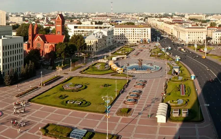
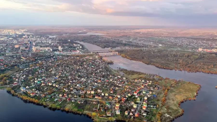
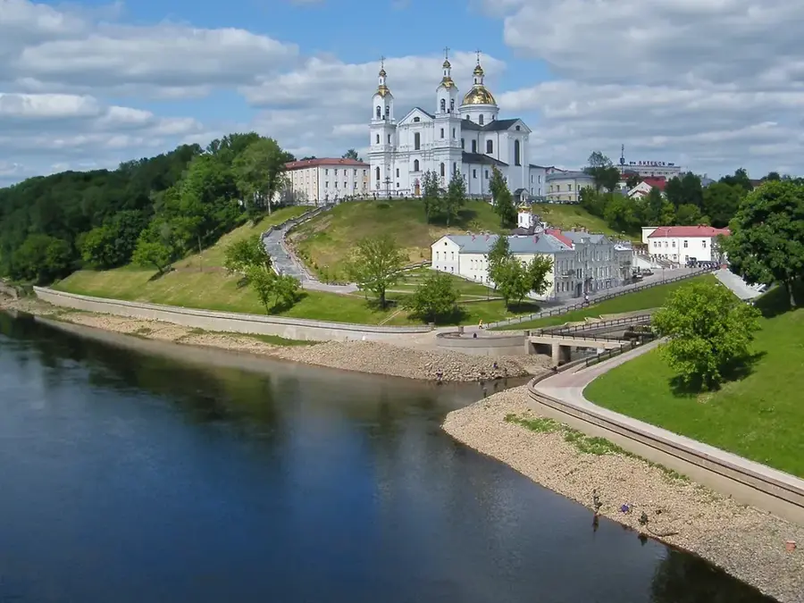
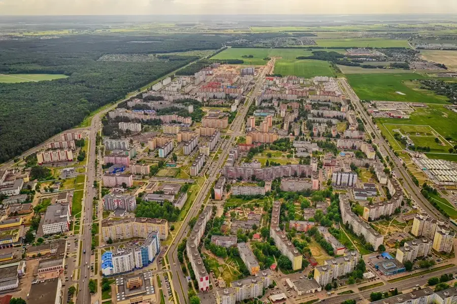
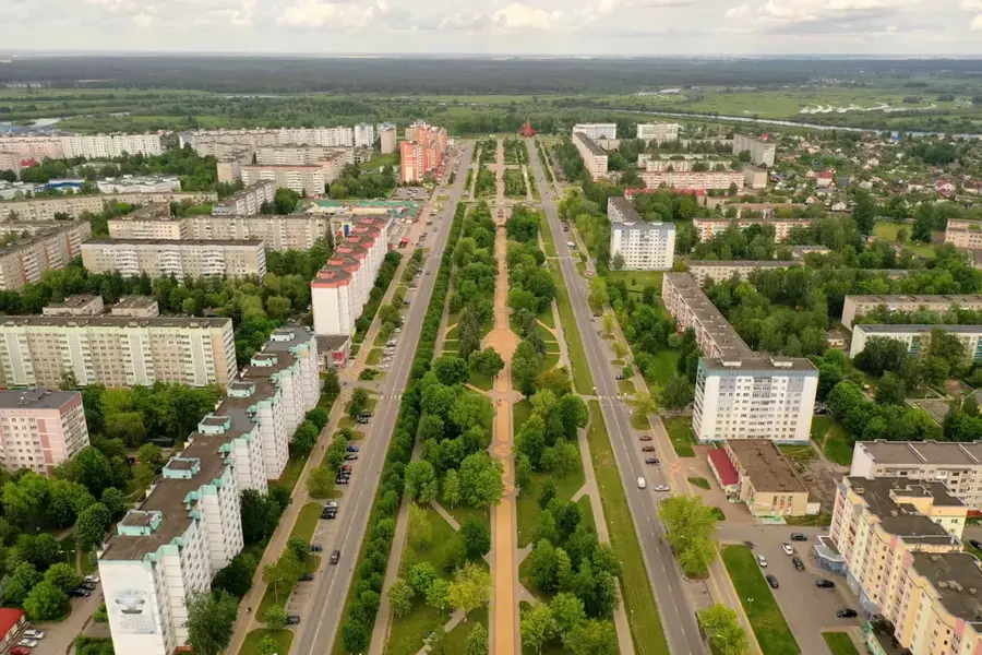
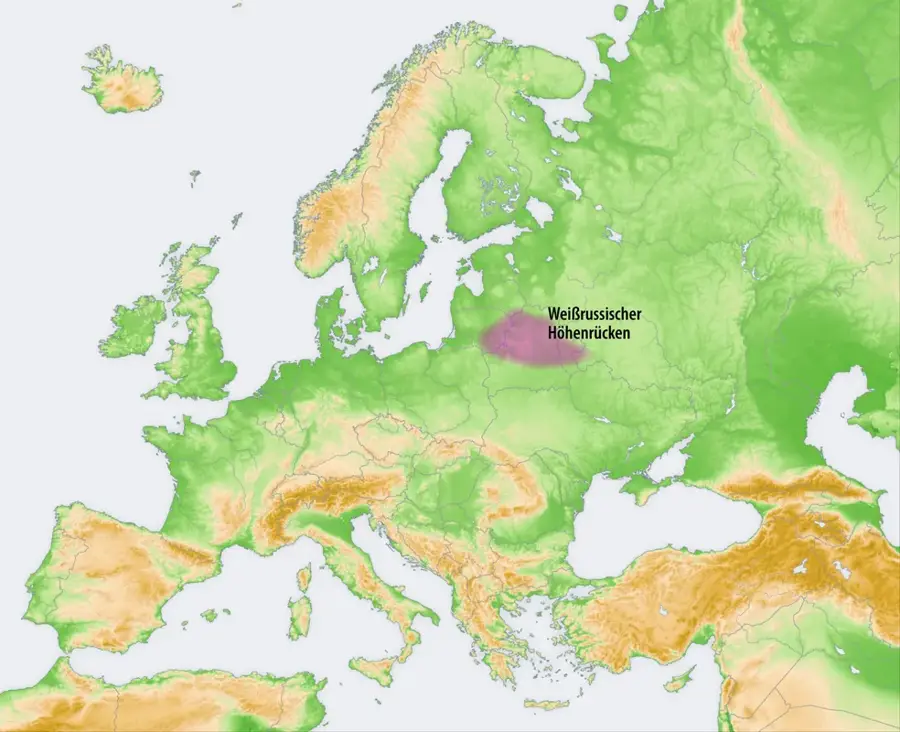
The Orsha Upland in east-central Belarus is a gently rolling elevation strategically located between the upper reaches of the Dnieper and Western Dvina river basins. It reaches its maximum height at approximately 263 meters above sea level. Geologically, the upland is primarily composed of sediments from the Middle Pleistocene Sozh glaciation, which over millennia have been smoothed by water and wind erosion and blanketed with fertile loamy soils. Historically and geographically, this landscape constitutes the famous 'Orsha Corridor', a natural, largely marsh-free land bridge that historically served as a critical military and commercial transit route linking Central Europe with the Russian heartland. In contrast to the rugged moraines found in the west and north of the country, the Orsha Upland is characterized by broad, flat hilltops with gentle slopes ranging from 2 to 5 degrees, making the terrain highly suitable for the intensive agriculture practiced there today.
The most pleasant time to visit is Jun–Aug.
| Jan | Feb | Mar | Apr | May | Jun | Jul | Aug | Sep | Oct | Nov | Dec | |
|---|---|---|---|---|---|---|---|---|---|---|---|---|
| Avg °C | -9 | -8 | -2 | 5 | 13 | 16 | 19 | 17 | 12 | 5 | 0 | -6 |
| Rain mm | 54 | 46 | 49 | 50 | 86 | 85 | 95 | 84 | 52 | 71 | 62 | 53 |
Notable places around
Where do you start? We build the route here, with stops and country notes along the way.
© OpenStreetMap contributors · OpenRouteService
Ethnographic museum housed in an old mill, showcasing traditional crafts and daily life.
Art gallery in Orsha, named after artist V.A. Gromyko, with rotating exhibitions.
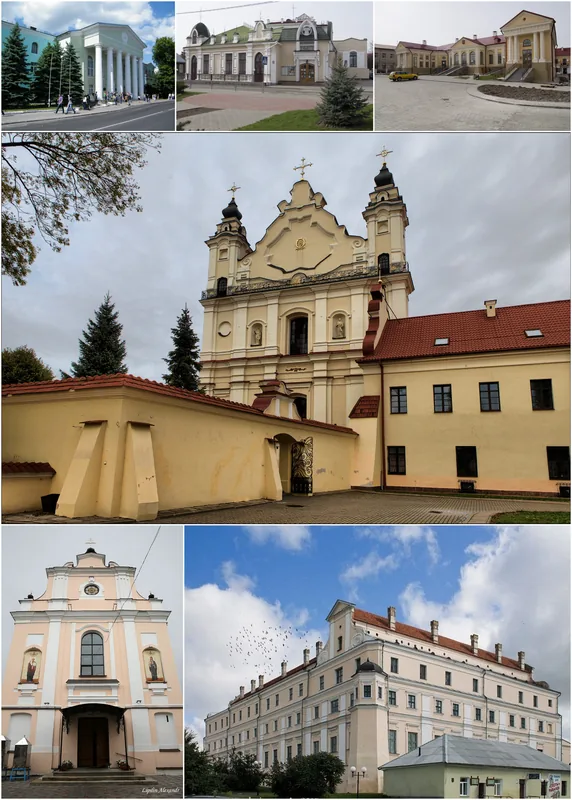
City museum dedicated to Orsha's history and culture, with archaeological and historical exhibits.
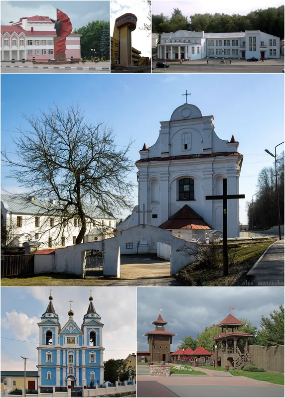
Soviet BMD-1 airborne combat vehicle displayed as a monument in Orsha.