Plizio Visual Lab
Mozyr Ridge

Weather…
Water temperature…
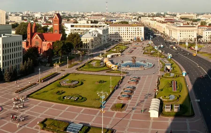
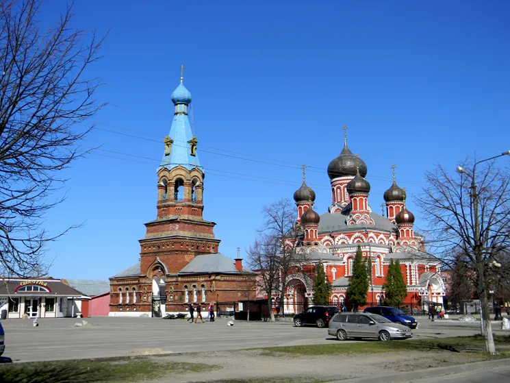
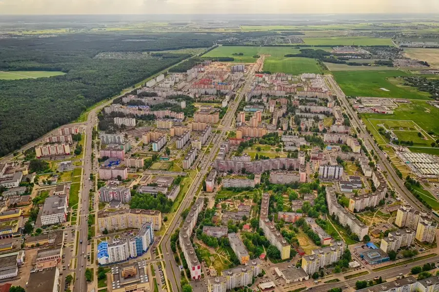
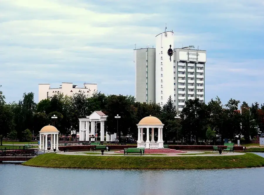
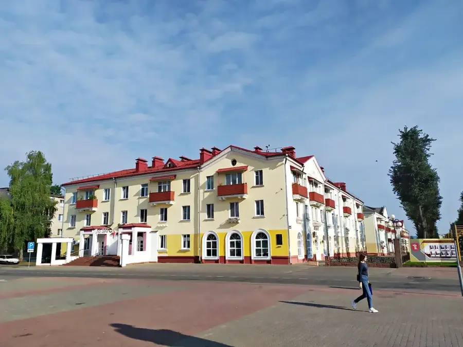
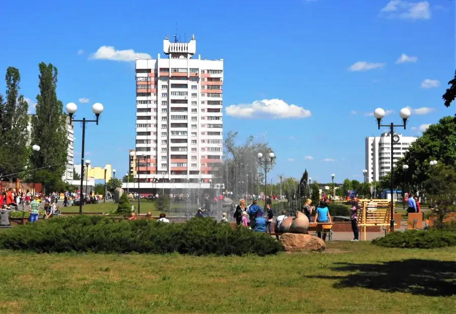
The Mozyr Ridge is an extraordinary relief feature in southeastern Belarus that rises prominently above the flat Polesie Lowland. Situated on the right bank of the Pripyat River, this ridge is characterized by extremely intense erosional dissection, which has created deeply incised ravines and valleys. Geologically, the formation originated during the Dnieper glaciation and consists of thick layers of glacial sediments and loess. Due to the steep slopes and specific microclimate, rare plant communities have been preserved here, including relicts of hornbeam-oak forests. Part of the territory is protected as the 'Mozyrskiye Ovrazhki' (Mozyr Ravines) landscape reserve. The city of Mozyr itself is built in terraces on the slopes of the ridge, giving it an almost mountainous appearance that is untypical for Belarus.
- Location: Belarus
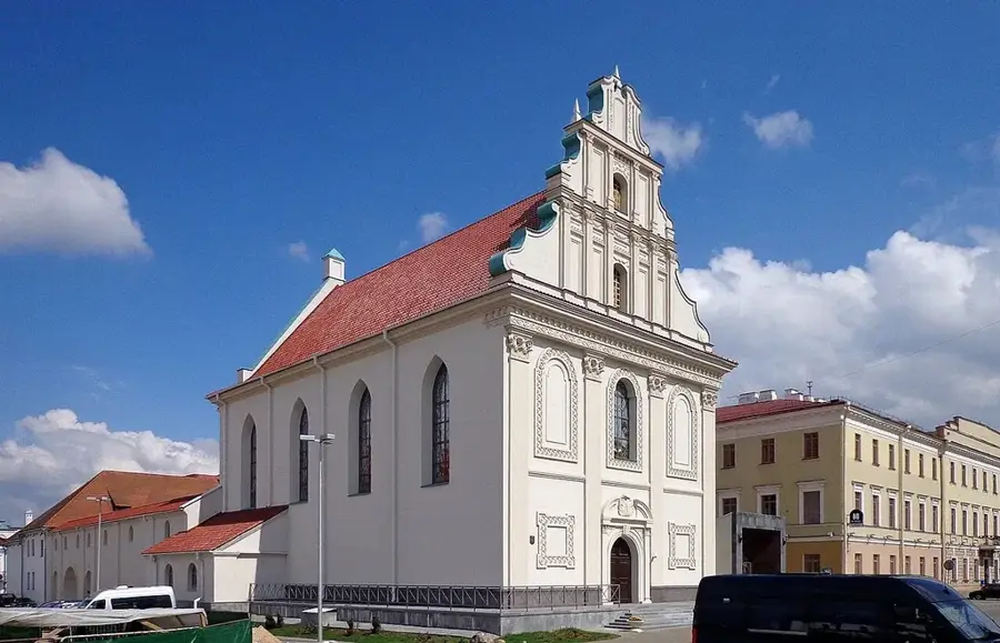
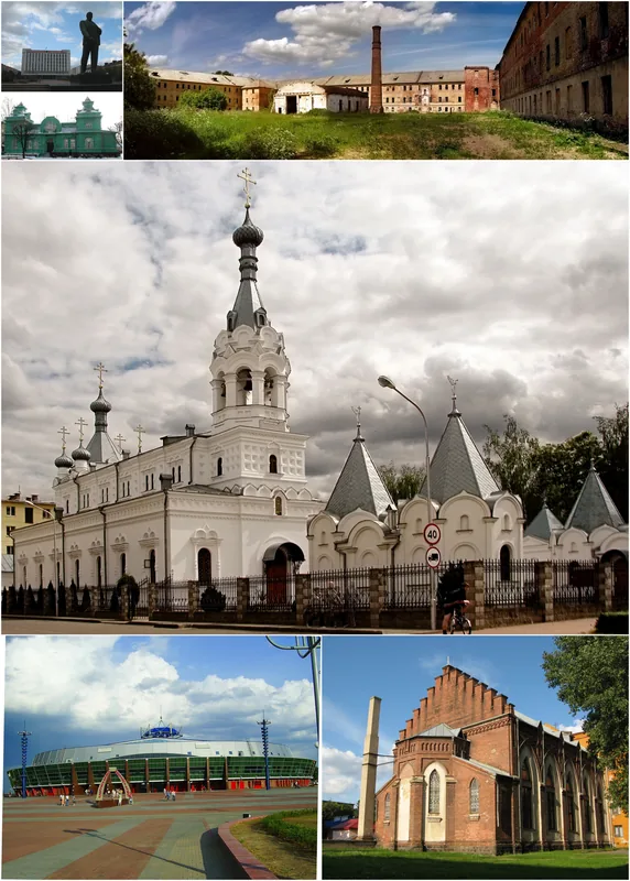
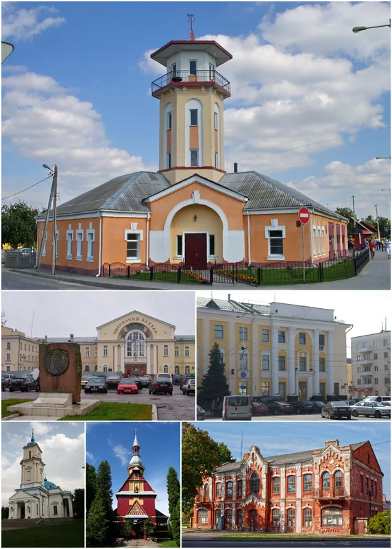
- Nearby: Mozyr (7 km)
Best time to visit & climate
The most pleasant time to visit is Jun–Aug.
| Jan | Feb | Mar | Apr | May | Jun | Jul | Aug | Sep | Oct | Nov | Dec | |
|---|---|---|---|---|---|---|---|---|---|---|---|---|
| Avg °C | -7 | -5 | 0 | 8 | 14 | 18 | 21 | 20 | 15 | 8 | 2 | -4 |
| Rain mm | 49 | 44 | 48 | 45 | 76 | 75 | 92 | 57 | 42 | 62 | 50 | 51 |
📋 Practical info
Geography
Facts
- The highest point is Mount Komunarka at 221 meters.
- Some ravines reach a depth of up to 60 meters.
- The slope gradients exceed 30 degrees in certain areas.
- The ridge extends over a length of approximately 28 km.
- Geologically, Eocene clays emerge at the surface here.
- The region is known for its significant deposits of rock salt.
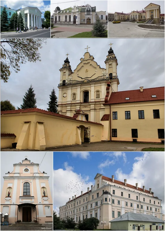
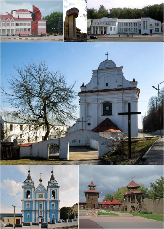
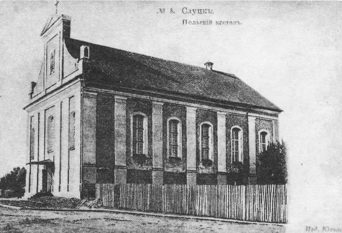
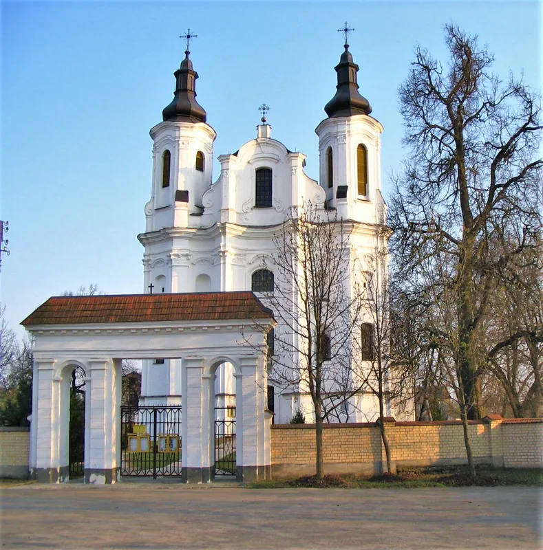
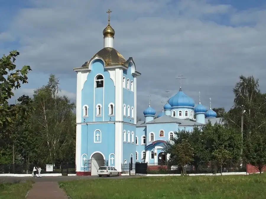
Explore nearby
Notable places around
Route planner — Car & Motorhome
Where do you start? We build the route here, with stops and country notes along the way.
© OpenStreetMap contributors · OpenRouteService
Sights nearby
Frequently asked questions
Why is the Mozyr Ridge unusual?
How deep are the ravines there?
Is there a nature reserve?
Can you ski there?
What is the highest point?
Mozyr Ridge: where is it located?
Mozyr Ridge: when is the best time to visit?
Mozyr Ridge: why is it worth visiting?

Nearby cities