Plizio Visual Lab
Yurievichi Hills

Weather…
Water temperature…
The Yurievichi Hills in southern Belarus (Gomel Region) constitute one of the most landscape-altering and historically fascinating anomalies within the otherwise table-flat Pripyat swamp region. Over a stretch of just a few kilometers, a prominent, steep chain of hills rises asymmetrically, reaching an elevation of 160 meters above sea level. Particularly impressive is the abrupt plunge of the terrain toward the Pripyat River: the steep riverbanks drop almost vertically by 30 to 40 meters, offering a panoramic panoramic view over the endless wetlands of Polesie. However, the Yurievichi Hills achieved global fame through groundbreaking archaeological discoveries. In the deep ravines carved by severe erosion, researchers discovered the remains of an Upper Paleolithic mammoth hunters' settlement. This archaeological site is dated to an incredible age of around 26,000 years, making it the oldest known human settlement on the territory of Belarus. Thousands of mammoth bones, primitive flint tools, and ancient fire pits have been excavated from the loess and sandy soils of these steep slopes.
- Location: Belarus
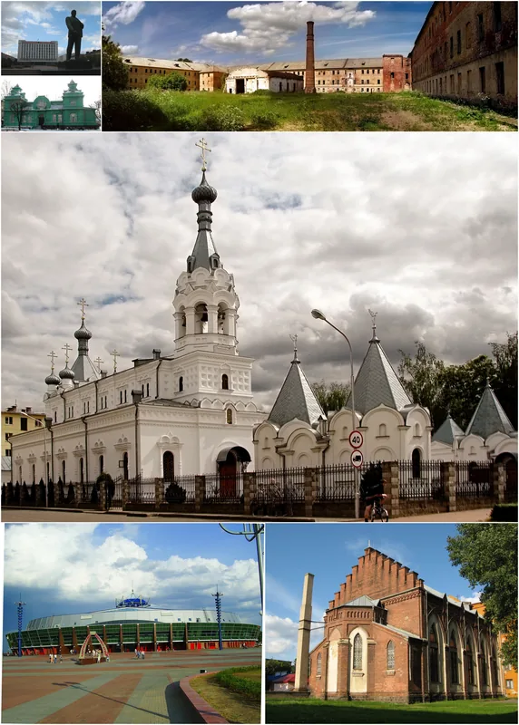
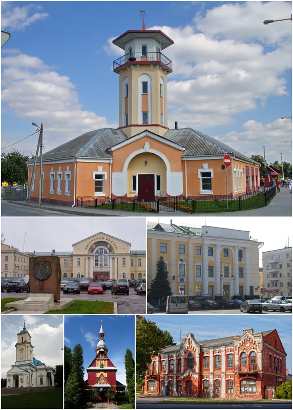
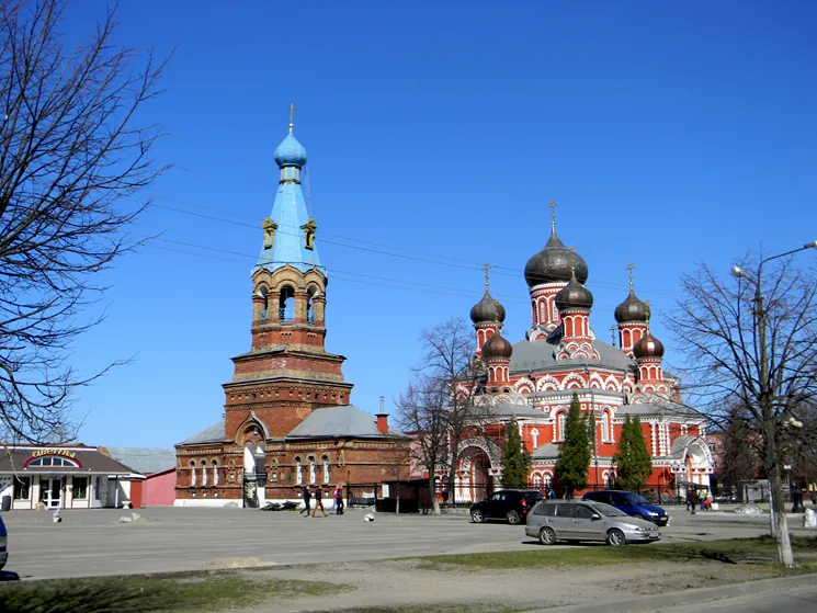
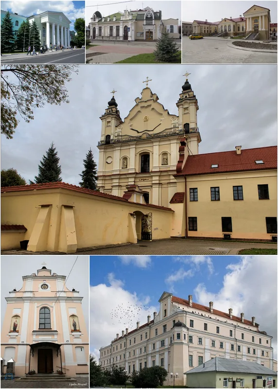
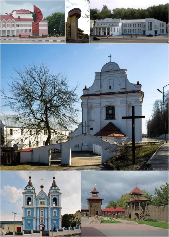
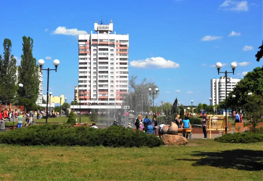
- Nearby: Mozyr (7 km)
Best time to visit & climate
The most pleasant time to visit is Jun–Aug.
| Jan | Feb | Mar | Apr | May | Jun | Jul | Aug | Sep | Oct | Nov | Dec | |
|---|---|---|---|---|---|---|---|---|---|---|---|---|
| Avg °C | -7 | -5 | 0 | 8 | 14 | 18 | 21 | 20 | 15 | 8 | 2 | -4 |
| Rain mm | 48 | 44 | 47 | 44 | 74 | 73 | 89 | 56 | 44 | 62 | 49 | 51 |
📋 Practical info
Geography
Explore nearby
Notable places around
Route planner — Car & Motorhome
Where do you start? We build the route here, with stops and country notes along the way.
© OpenStreetMap contributors · OpenRouteService
Sights nearby
Frequently asked questions
Why are the Yurievichi Hills famous?
Is there a museum there?
What is the best view?
Can children see mammoth-related things?
Is there a monastery in Yurievichi?
Yurievichi Hills: where is it located?
Yurievichi Hills: when is the best time to visit?
Yurievichi Hills: why is it worth visiting?

Nearby cities