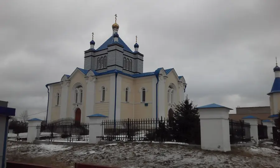
Tsarkva Sviatykh apostalau Piatra i Paula (1824)
Wooden church built in 1824, dedicated to Saints Peter and Paul, traditional architecture.
Plizio Visual Lab
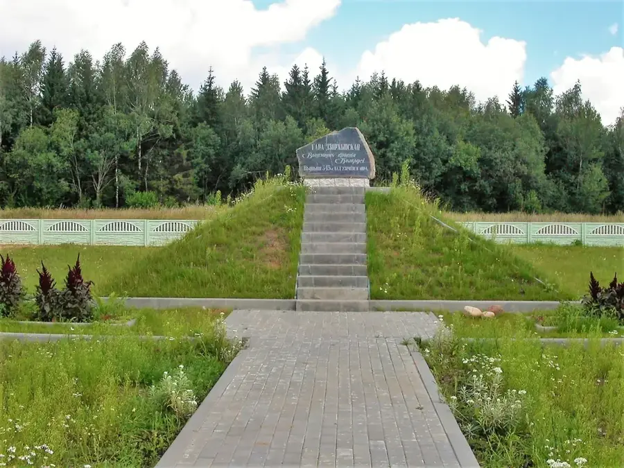
Lysaya Hara, translating to Bald Mountain, stands at an elevation of 342 meters above sea level, making it the second highest point in Belarus, just three meters shy of the nearby Dzyarzhynskaya Hara. Located in the Minsk District, approximately 21 kilometers north of the capital city, the hill is a prominent remnant of the Sozh glaciation period. Its geological structure is heavily composed of thick layers of sandy loam, clay, and gravel, which were deposited as terminal moraines by retreating glaciers hundreds of thousands of years ago. Given its elevation and relatively steep slopes, Lysaya Hara stands out significantly against the predominantly flat and gently rolling Belarusian landscape. Despite its historical name implying a barren summit, the hill is now substantially covered by mixed forests. The elevation also serves as a minor local watershed, feeding small streams that flow into the broader river systems of the region.
The most pleasant time to visit is Jun–Aug.
| Jan | Feb | Mar | Apr | May | Jun | Jul | Aug | Sep | Oct | Nov | Dec | |
|---|---|---|---|---|---|---|---|---|---|---|---|---|
| Avg °C | -8 | -6 | -1 | 6 | 13 | 16 | 19 | 18 | 12 | 6 | 1 | -5 |
| Rain mm | 53 | 43 | 45 | 48 | 85 | 80 | 103 | 83 | 50 | 66 | 54 | 51 |
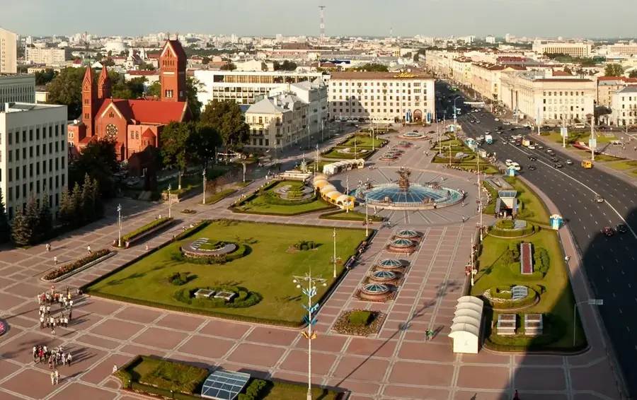
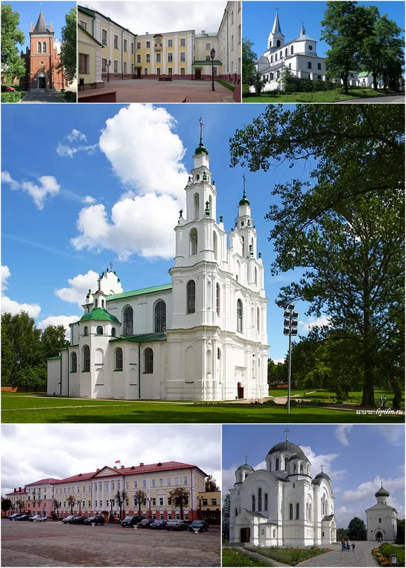
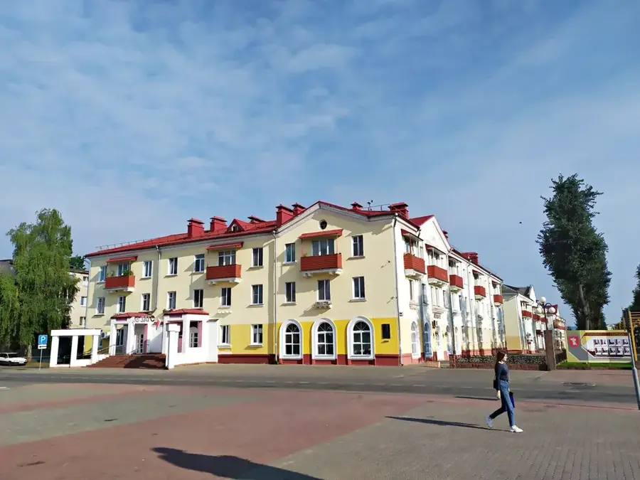
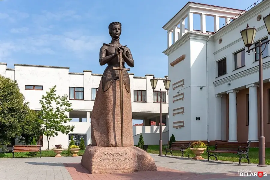
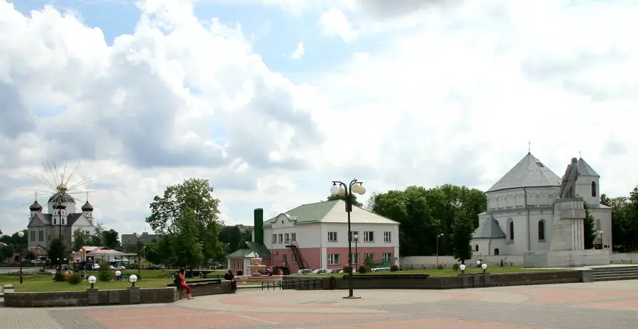
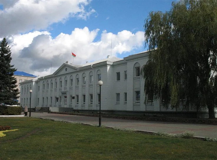
Notable places around
Where do you start? We build the route here, with stops and country notes along the way.
© OpenStreetMap contributors · OpenRouteService
Wooden church built in 1824, dedicated to Saints Peter and Paul, traditional architecture.