Plizio Visual Lab
Samur River
Weather…
Water temperature…
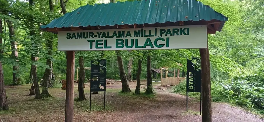
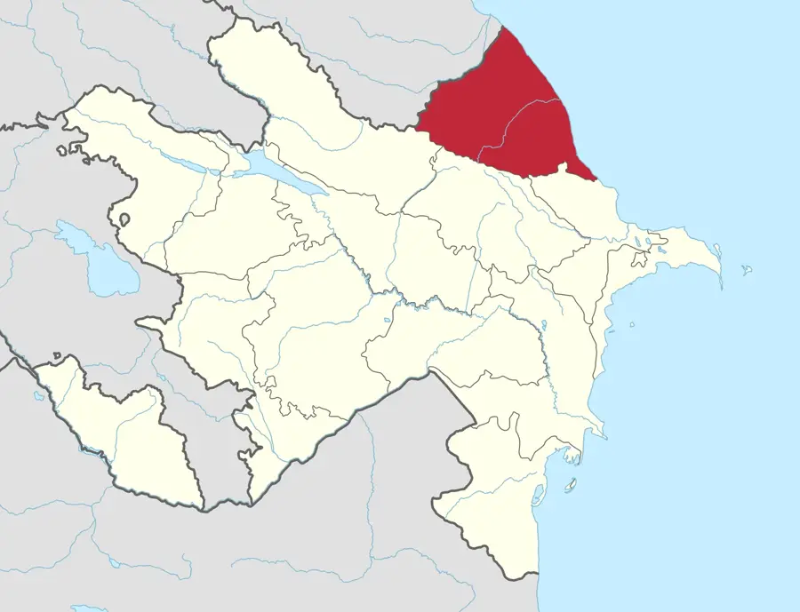
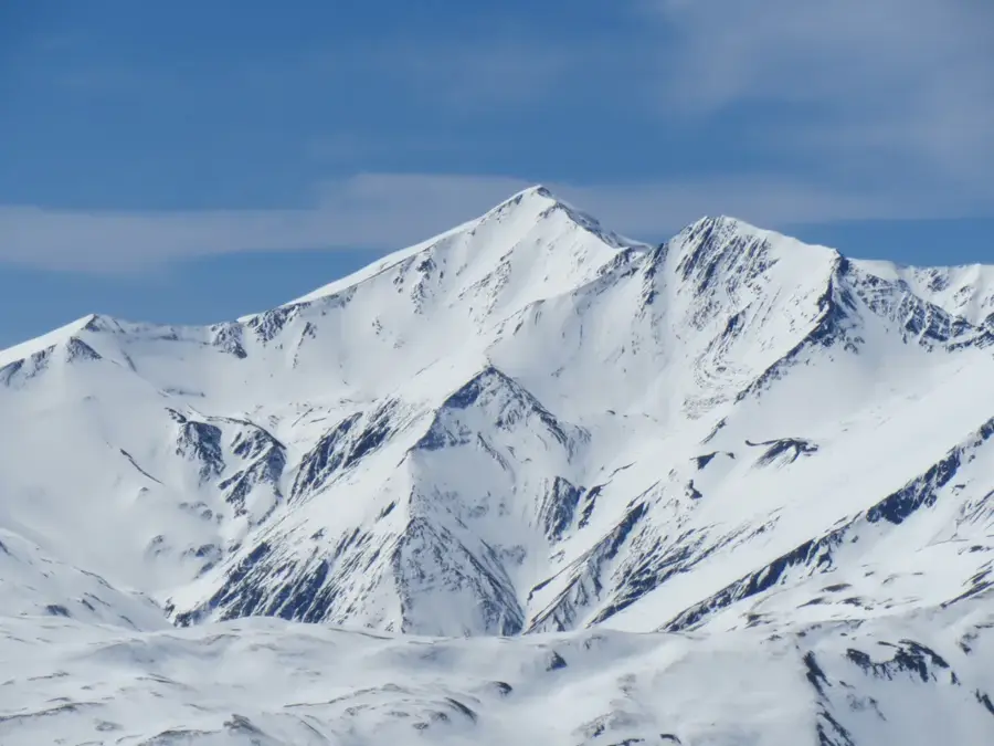
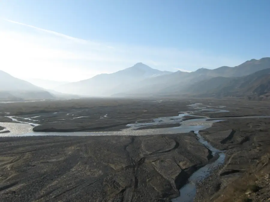
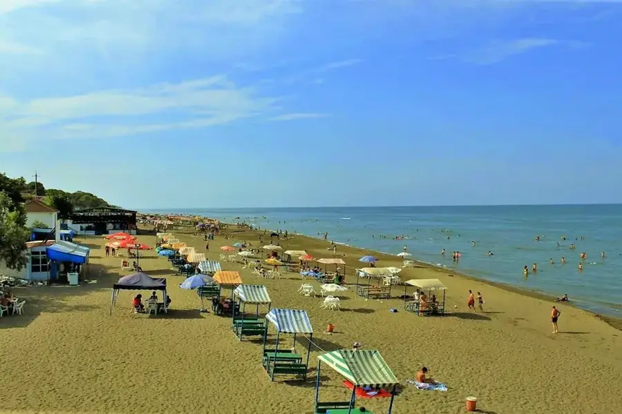
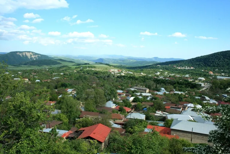
The Samur River is a significant transboundary river forming part of the border between northeastern Azerbaijan and the Republic of Dagestan in Russia. Stretching for approximately 213 kilometers, it originates from the slopes of the Greater Caucasus Mountains at elevations exceeding 3,000 meters and flows into the Caspian Sea. The river basin covers about 7,330 square kilometers and is essential for the irrigation of the surrounding arid coastal plains. Its delta is home to the Samur-Yalama National Park, featuring unique tertiary forests that represent the last remaining temperate rainforests in the region. The Samur-Absheron Canal diverts water from the river to provide a crucial supply for the industrial and residential needs of Baku and Sumgait. Water allocation between the two neighboring countries is strictly managed by an intergovernmental agreement signed in 2010 to ensure environmental sustainability. It is the only river in Azerbaijan that creates such a distinct and densely forested delta system.
- Location: Azerbaijan
- Top sights: Subtropicheskii lianovyi les · Mesto dlia perekhoda/pereezda reki vbrod · Plotina
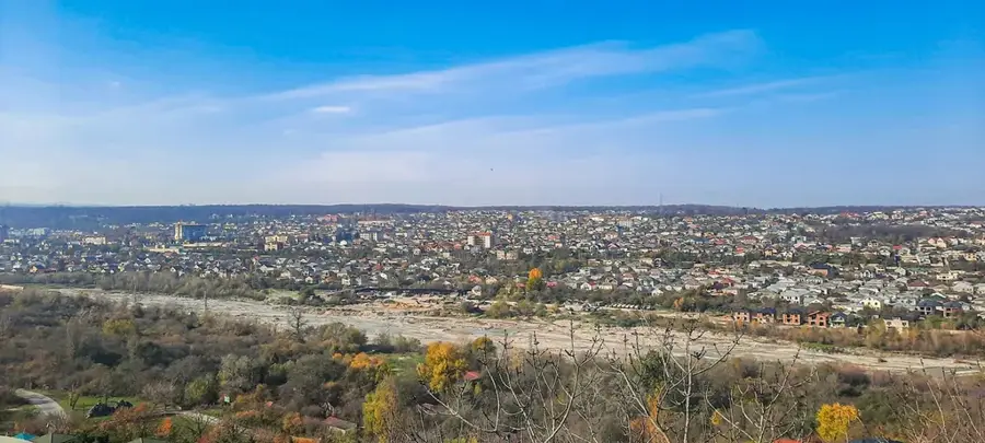
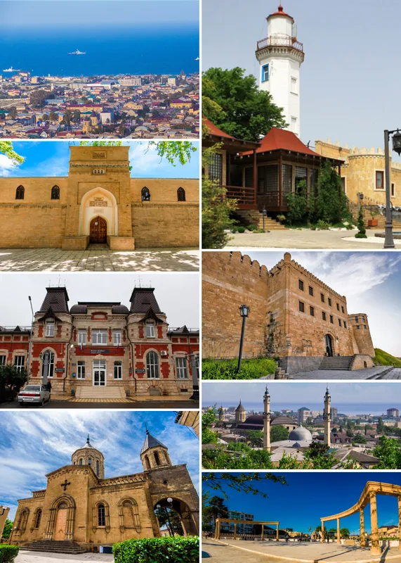
- Nearby: Qusar (29 km)
Best time to visit & climate
The most pleasant time to visit is Jun, Jul, Sep.
| Jan | Feb | Mar | Apr | May | Jun | Jul | Aug | Sep | Oct | Nov | Dec | |
|---|---|---|---|---|---|---|---|---|---|---|---|---|
| Avg °C | 6 | 5 | 7 | 10 | 16 | 21 | 25 | 26 | 22 | 17 | 12 | 8 |
| Rain mm | 27 | 31 | 26 | 24 | 27 | 21 | 19 | 19 | 29 | 44 | 36 | 29 |
📋 Practical info
Geography
Facts
- The total length of the Samur River is approximately 213 kilometers.
- Its drainage basin covers an area of 7,330 square kilometers.
- The river's source is located at an altitude of 3,600 meters.
- A major water-sharing agreement was signed in September 2010.
- The river defines the national border for nearly 150 kilometers.
- The Samur delta contains over 11,000 hectares of protected forest.
Explore nearby
Notable places around
Route planner — Car & Motorhome
Where do you start? We build the route here, with stops and country notes along the way.
© OpenStreetMap contributors · OpenRouteService
Sights in the town Samur River (5)
Sights nearby
Frequently asked questions
What characterizes the Samur River?
Can you hike at the river mouth?
Is the Samur a border river?
Are there camping opportunities there?
When is the water clearest?
Samur River: where is it located?
Samur River: what is there to see?
Samur River: when is the best time to visit?
Samur River: why is it worth visiting?

Nearby cities
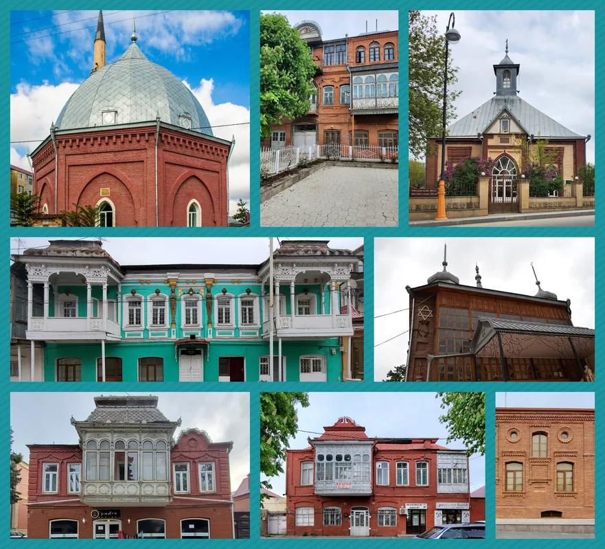
History & landmarks
Nature
More places