Plizio Visual Lab
Mount Bazarduzu
Weather…
Water temperature…
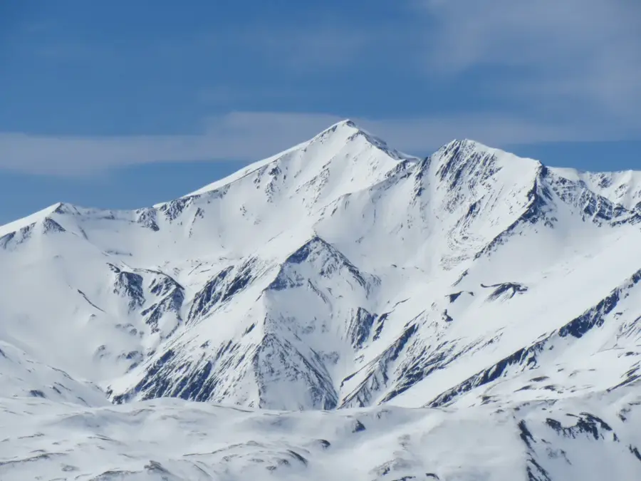
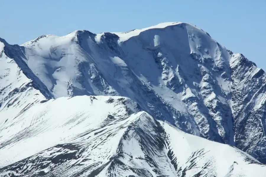
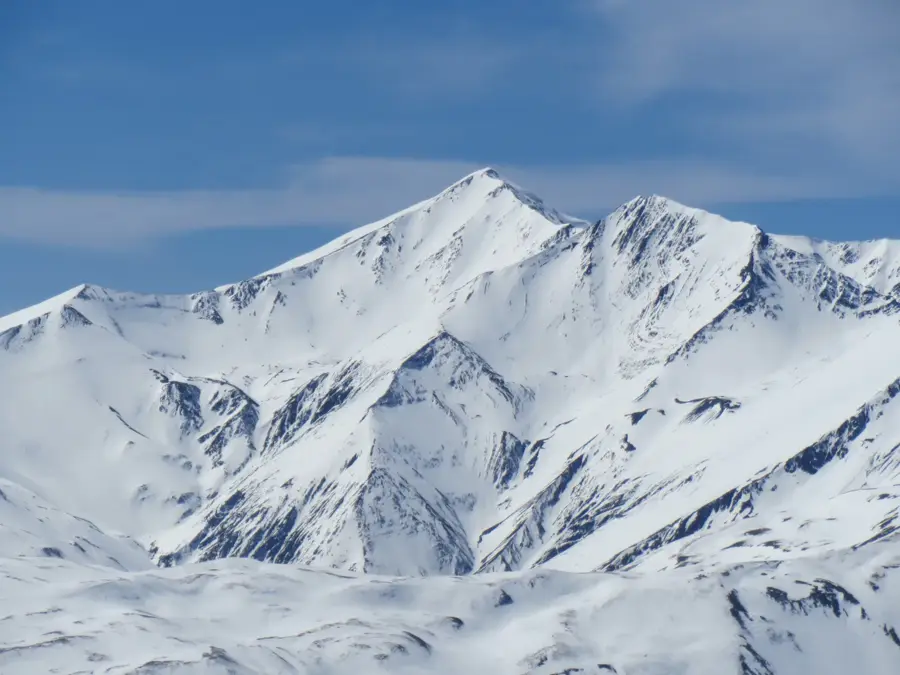
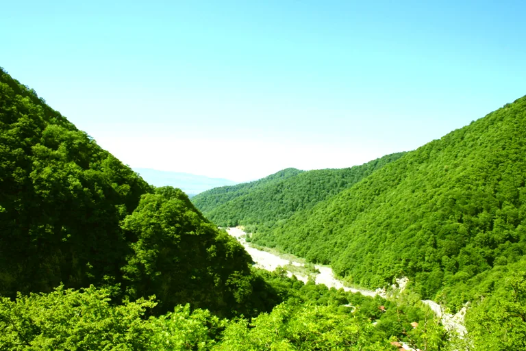
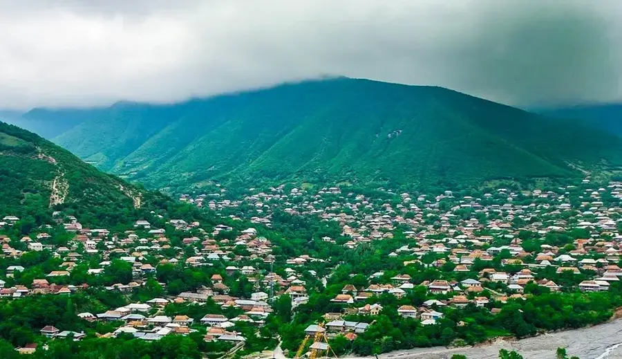
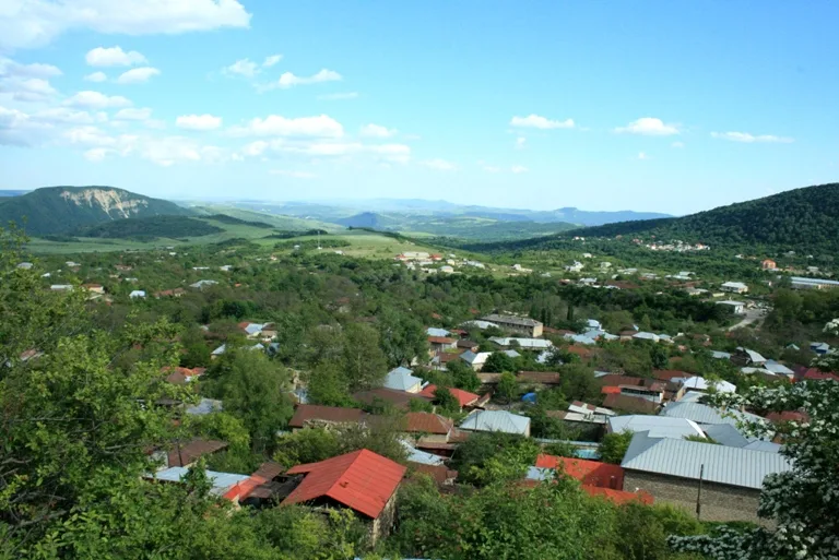
Mount Bazardüzü, standing at 4,466 meters, is the highest peak in Azerbaijan, situated within the main crest of the Greater Caucasus range on the border with the Russian Federation. Geologically, the massif consists primarily of Jurassic shales and sandstones, exhibiting a distinct alpine morphology with sharp ridges and glacial cirques. The summit is covered in snow and firn almost year-round, and its slopes host some of Azerbaijan's few remaining glaciers, such as the Tikhiziar glacier. The name 'Bazardüzü' translates to 'Marketplace Plain,' reflecting the historical role of the nearby valleys as meeting grounds for shepherds and traders from various parts of the Caucasus. The first documented ascent was achieved in 1847 by the Russian geographer Aleksey Alexandrov. Today, the mountain is a premier challenge for mountaineers and a symbol of Azerbaijan's pristine high-altitude environment. Due to its strategic border location, climbing the peak requires special permits from national authorities.
- Location: Azerbaijan
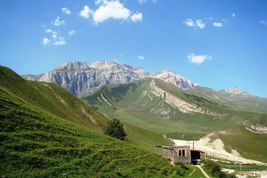
- Nearby: Tufandag (16 km)
Best time to visit & climate
The most pleasant time to visit is Jun–Aug.
| Jan | Feb | Mar | Apr | May | Jun | Jul | Aug | Sep | Oct | Nov | Dec | |
|---|---|---|---|---|---|---|---|---|---|---|---|---|
| Avg °C | -4 | -3 | 2 | 6 | 12 | 17 | 20 | 19 | 15 | 9 | 2 | -2 |
| Rain mm | 17 | 24 | 29 | 33 | 35 | 29 | 19 | 17 | 30 | 34 | 27 | 17 |
📋 Practical info
Geography
Facts
- The official height of the summit is 4,466 meters above sea level.
- The first documented ascent occurred in August 1847.
- The mountain is located exactly at 41 degrees north latitude.
- The treeline on the mountain slopes is at approximately 2,500 meters.
- The Tikhiziar glacier is roughly 1 kilometer in length.
- Average peak temperature in July is approximately 0 degrees Celsius.
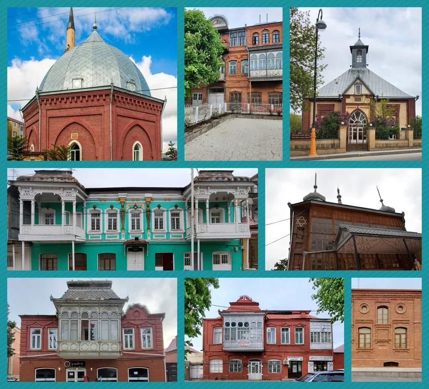
Explore nearby
Notable places around
Route planner — Car & Motorhome
Where do you start? We build the route here, with stops and country notes along the way.
© OpenStreetMap contributors · OpenRouteService
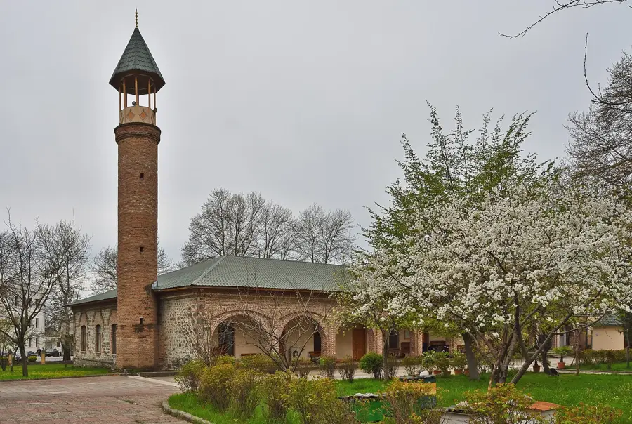
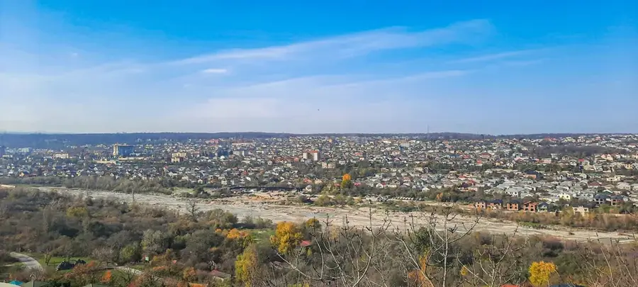
Sights in the town Mount Bazarduzu (1)
Sights nearby
Frequently asked questions
How high is Bazarduzu?
Is the ascent suitable for beginners?
Do you need a visa for the ascent?
When is the best climbing season?
Is mountaineering gear mandatory?
Mount Bazarduzu: where is it located?
Mount Bazarduzu: when is the best time to visit?
Mount Bazarduzu: why is it worth visiting?

Nearby cities

History & landmarks
More places