Plizio Visual Lab
Gailtal Alps
Weather…
Water temperature…
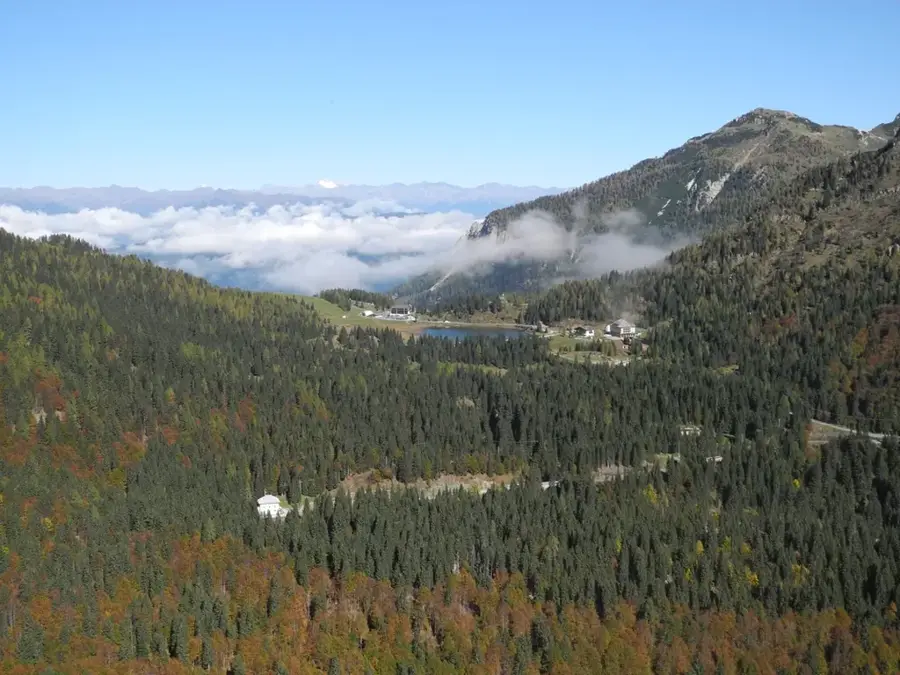
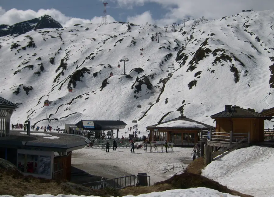
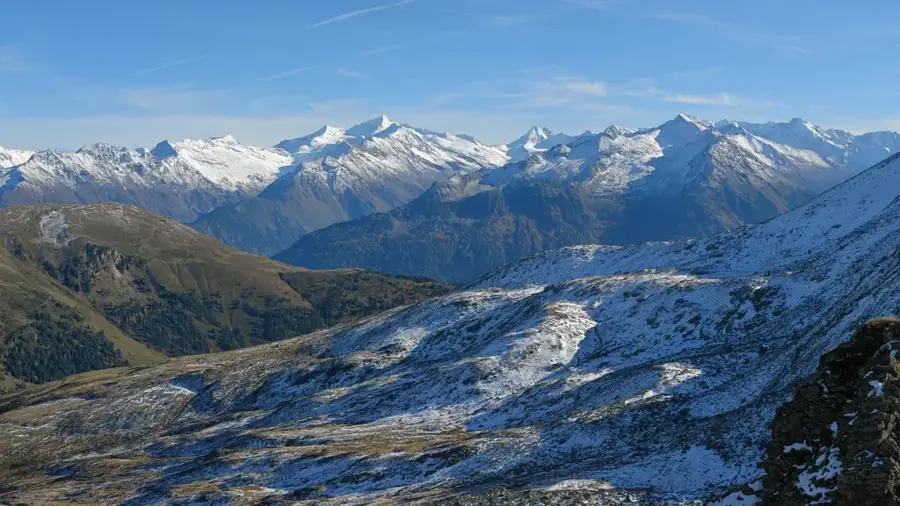
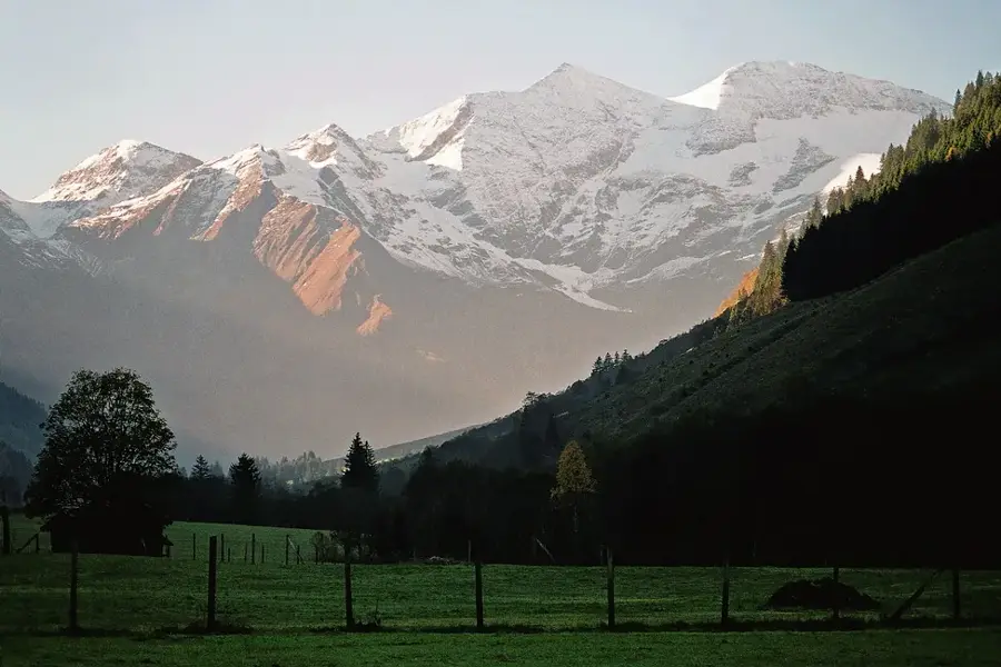
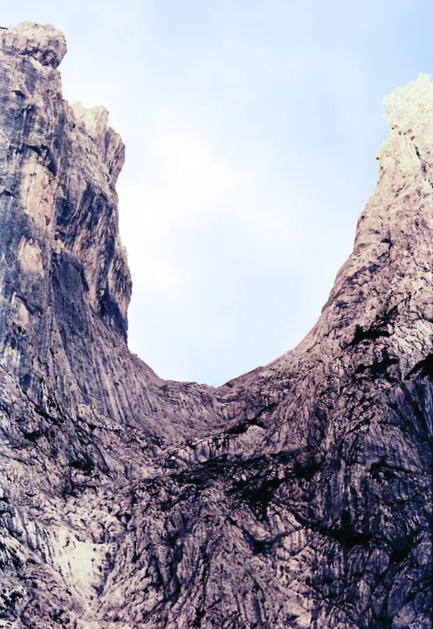
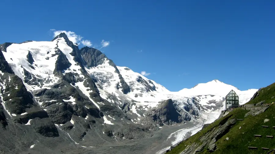
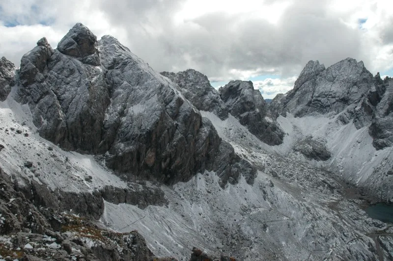
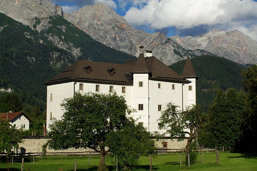
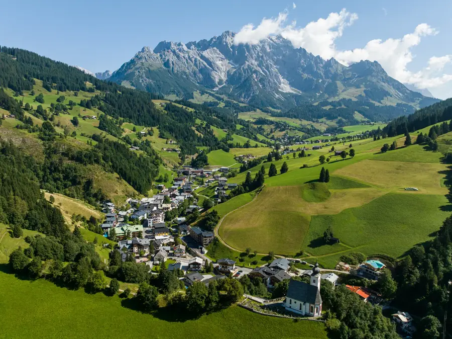
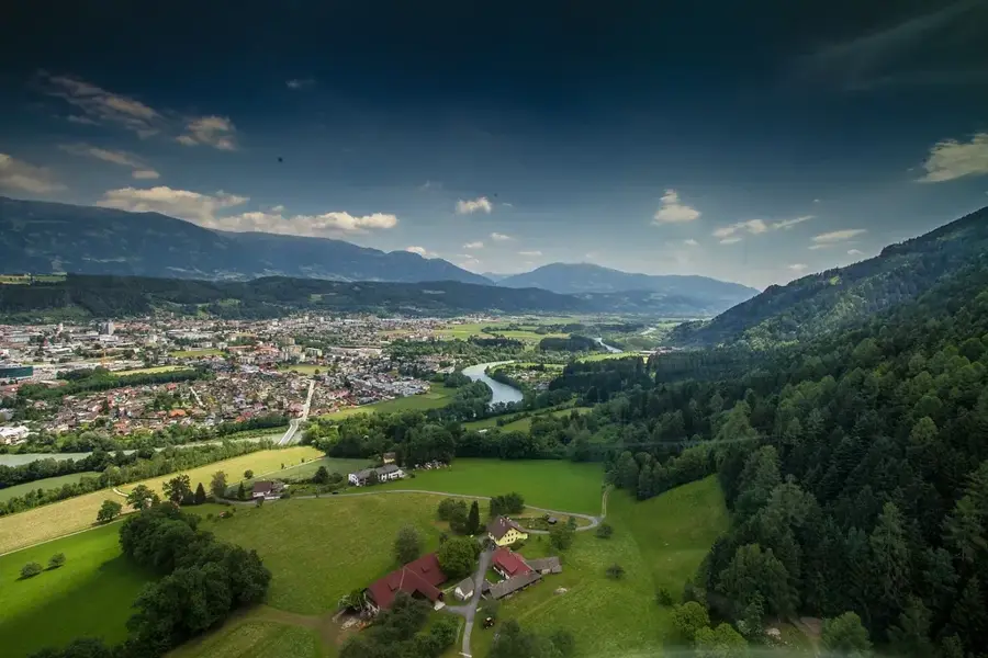
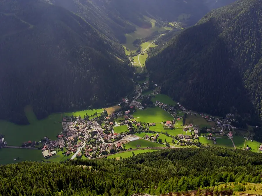
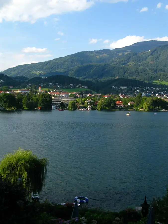
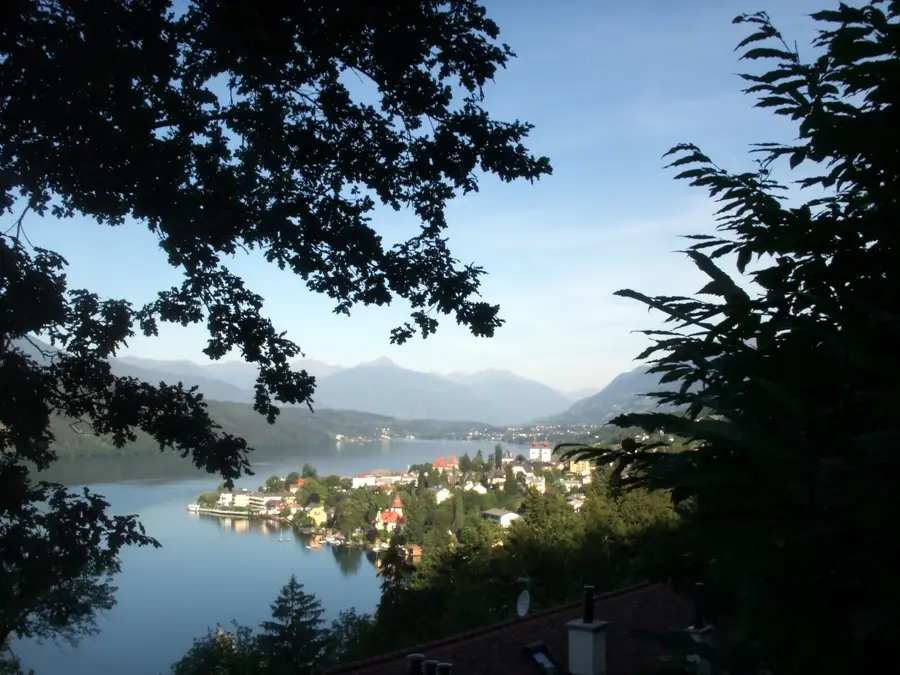
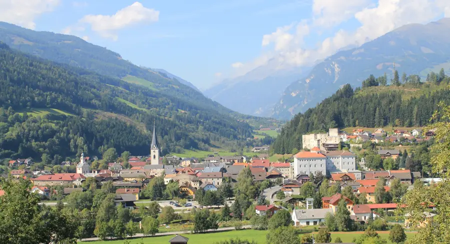
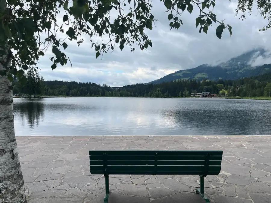
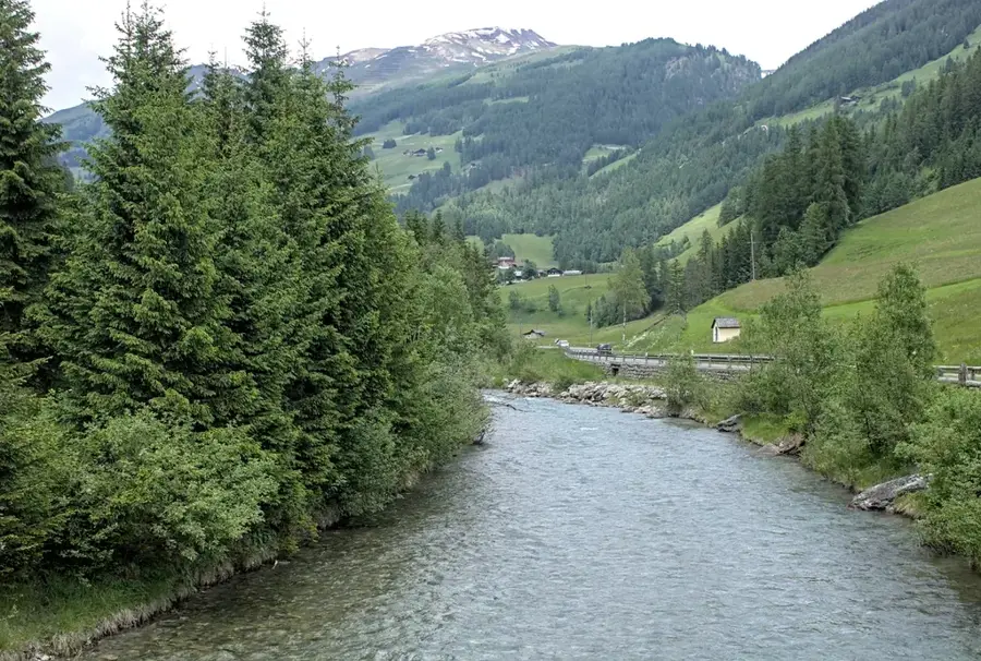
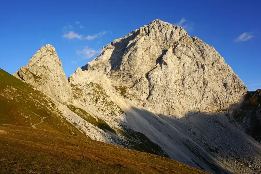
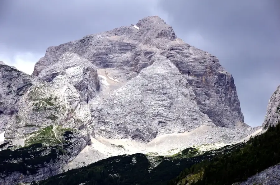
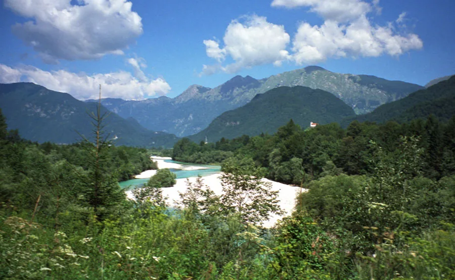
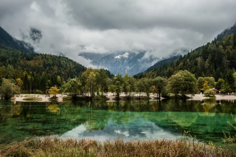
The Gailtal Alps are a mountain range in the Southern Limestone Alps, located in the federal states of Carinthia and East Tyrol. The group is bounded to the north by the Drava Valley and to the south by the Gail Valley, with the striking Lienz Dolomites forming its western part. The highest elevation is the Große Sandspitze at 2770 meters, located in the Lienz Dolomites and known for its spectacular rock faces. Geologically, the range is characterized by a mix of limestone and dolomite, leading to a rugged and varied topography. A special highlight of the region is the Weissensee, the highest among the large Carinthian swimming lakes, famous for its purity and reliable ice in winter. The flora is distinguished by a high density of endemic species, attributable to its southern location and ice-age refugia. Historically, the region was shaped by mining and alpine farming, with many alpine pastures now serving tourism. For hikers, the Gailtal Ridge Walk (Gailtaler Höhenweg) has a demanding multi-day tour with grandiose views of the opposing Carnic Alps. The region is an important local recreation area, providing a wide range of activities in both summer and winter.
- Location: Hohe Tauern National Park, Austria
- Top sights: Archäologiepark Gurina · Reißkofel · Torkofel
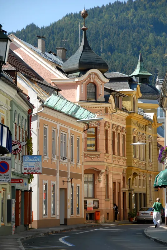
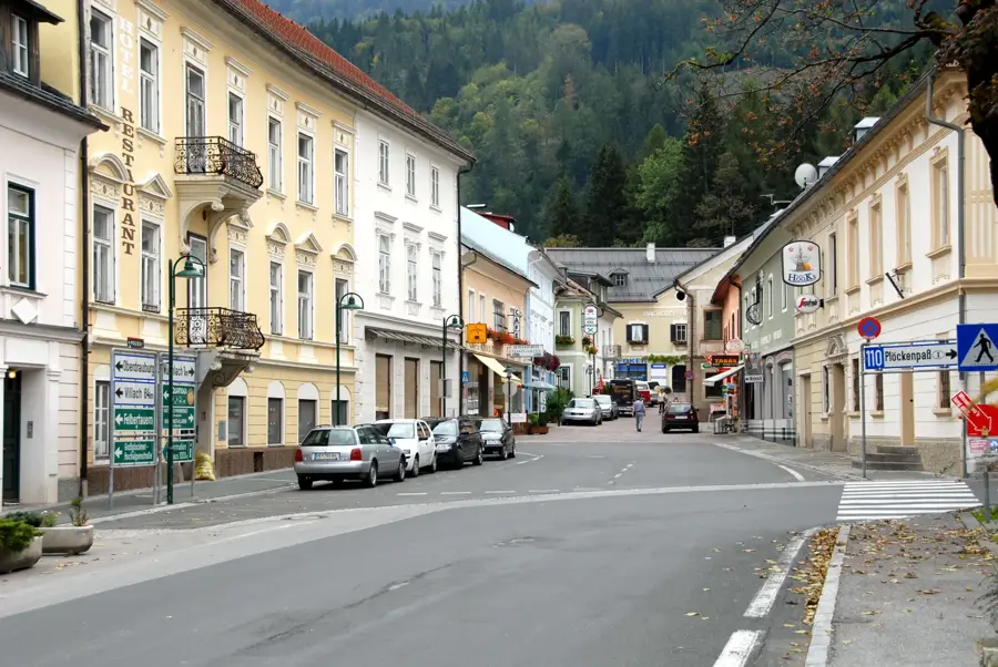
- Nearby: Kötschach-Mauthen (8 km)
Best time to visit & climate
The most pleasant time to visit is Jun–Aug.
| Jan | Feb | Mar | Apr | May | Jun | Jul | Aug | Sep | Oct | Nov | Dec | |
|---|---|---|---|---|---|---|---|---|---|---|---|---|
| Avg °C | -4 | -2 | 2 | 7 | 11 | 16 | 18 | 17 | 12 | 8 | 3 | -2 |
| Rain mm | 59 | 64 | 77 | 87 | 116 | 120 | 129 | 147 | 122 | 123 | 128 | 87 |
📋 Practical info
Geography
Facts
- The Große Sandspitze is the highest peak at 2770 meters.
- Lake Weissensee is situated at 930 meters above sea level.
- The Gailtal Ridge Walk extends over approximately 150 kilometers.
- The Lienz Dolomites geologically belong to the Gailtal Alps.
- The Drava Valley separates the Gailtal Alps from the Central Alps.
- There are over 100 actively managed alpine pastures in the region.
Explore nearby
Notable places around
Route planner — Car & Motorhome
Where do you start? We build the route here, with stops and country notes along the way.
© OpenStreetMap contributors · OpenRouteService
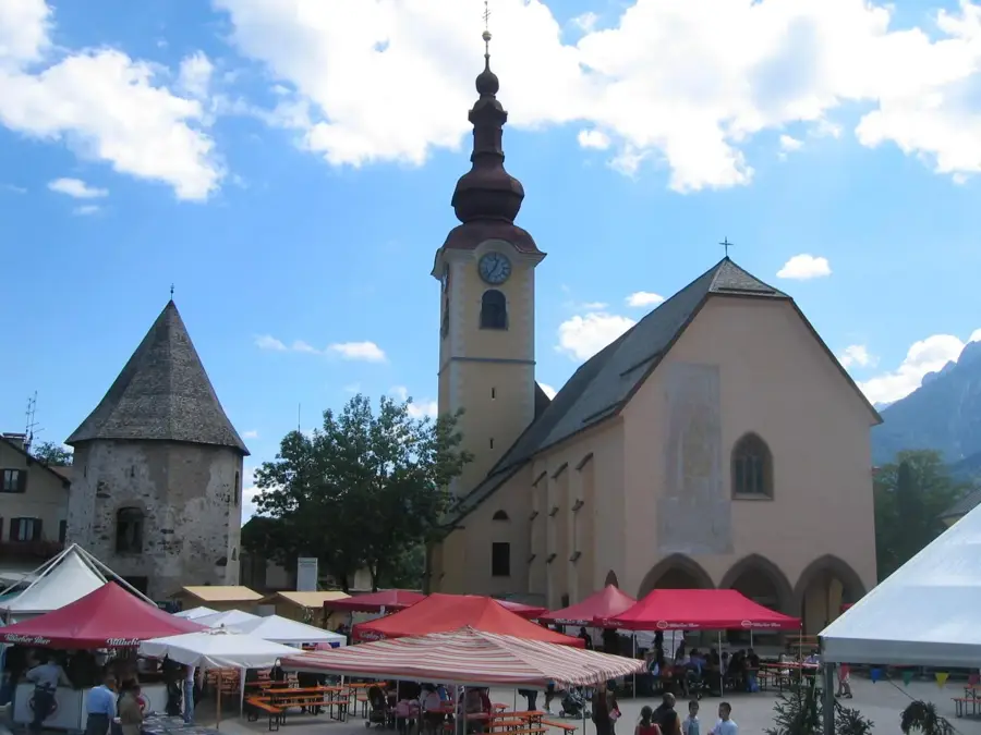
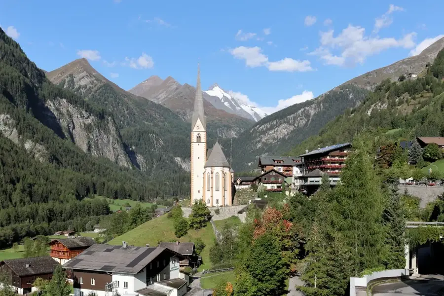
Sights in the town Gailtal Alps (6)
Sights nearby
Frequently asked questions
Where are the Gailtal Alps located?
What is the highest mountain in the range?
Are there lakes in this region?
How difficult are the hiking trails?
Is the region attractive in winter?
Gailtal Alps: where is it located?
Gailtal Alps: what is there to see?
Gailtal Alps: when is the best time to visit?
Gailtal Alps: why is it worth visiting?

Nearby cities
History & landmarks
Nature
More places