Plizio Visual Lab
Möll River
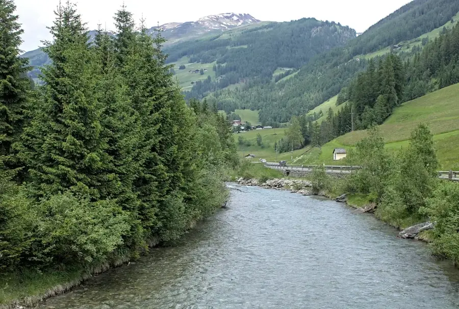
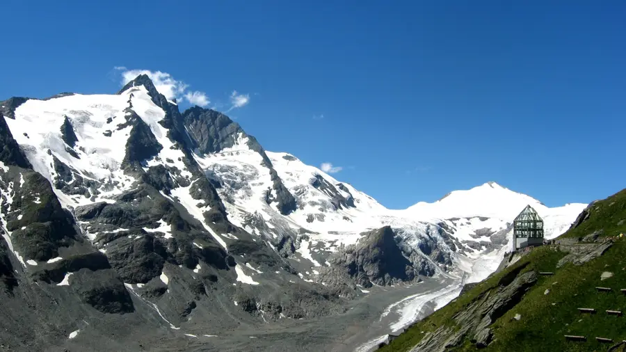
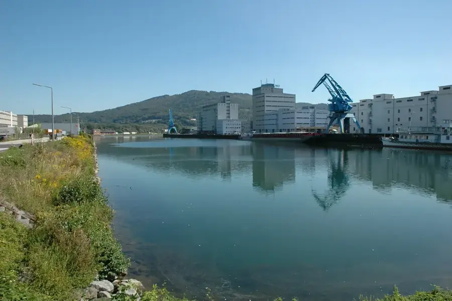
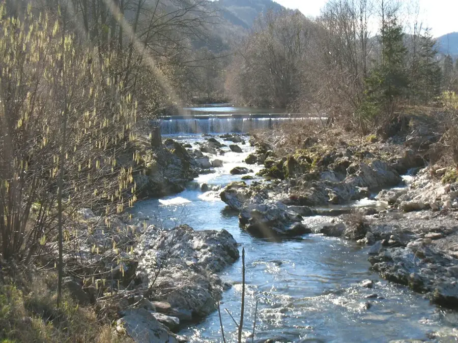
The Möll is an 84-kilometer-long river in northwestern Carinthia and a significant left tributary of the Drava. It originates at the foot of the Großglockner, Austria's highest peak, fed by the meltwaters of the Pasterze Glacier, the largest glacier in the Eastern Alps. The river flows through the scenic Möll Valley within the Hohe Tauern National Park before joining the Drava near Möllbrücke. Known for its rapid flow and steep descent, the Möll possesses a quintessential Alpine character that makes it convenient for hydroelectric power generation. Facilities like the Fragant power plant complex utilize its current to produce substantial amounts of clean energy. Beyond industrial use, the river is a premier destination for white-water sports, offering challenging stretches for rafting and kayaking enthusiasts. Ecologically, its water regime is strongly influenced by glacial cycles, resulting in distinct temperature profiles. Historically, the valley was a center for mining, particularly famous for gold extraction around the village of Heiligenblut.
- Location: Austria, Austria
- Top sights: Gemeindeamt Großkirchheim · Schaubauernhof Mentlhof · Mörtl-Mühle
- Nearby: Heiligenblut (7 km)
Best time to visit & climate
The most pleasant time to visit is Jun–Aug.
| Jan | Feb | Mar | Apr | May | Jun | Jul | Aug | Sep | Oct | Nov | Dec | |
|---|---|---|---|---|---|---|---|---|---|---|---|---|
| Avg °C | -8 | -7 | -3 | 2 | 7 | 11 | 13 | 13 | 8 | 4 | -1 | -6 |
| Rain mm | 59 | 55 | 71 | 82 | 127 | 151 | 167 | 175 | 126 | 106 | 96 | 70 |
📋 Practical info
Geography
Facts
- The Möll originates from the Pasterze Glacier at the Großglockner.
- The total length of the river is approximately 84 kilometers.
- It flows into the Drava River near the village of Möllbrücke.
- The river passes through the Hohe Tauern in the state of Carinthia.
- The Fragant power station uses the river for energy production.
- It is widely recognized as one of Austria's top rafting destinations.
Explore nearby
Notable places around
Route planner — Car & Motorhome
Where do you start? We build the route here, with stops and country notes along the way.
© OpenStreetMap contributors · OpenRouteService
Sights in the town Möll River (6)
Brennermühle/Gori-Mühle
Building in Heiligenblut, Austria, a listed mill.
Jungfernsprung
Viewpoint overlooking the Möll valley and surrounding mountains.
Sights nearby
Frequently asked questions
Where does the Möll originate?
Can you go rafting on the Möll?
What is the water quality of the Möll?
Is there a cycle path along the Möll?
What fish are found in the Möll?
Möll River: where is it located?
Möll River: what is there to see?
Möll River: when is the best time to visit?
Möll River: why is it worth visiting?

History & landmarks

Nature
More places