Plizio Visual Lab
Woergl Logistics Center
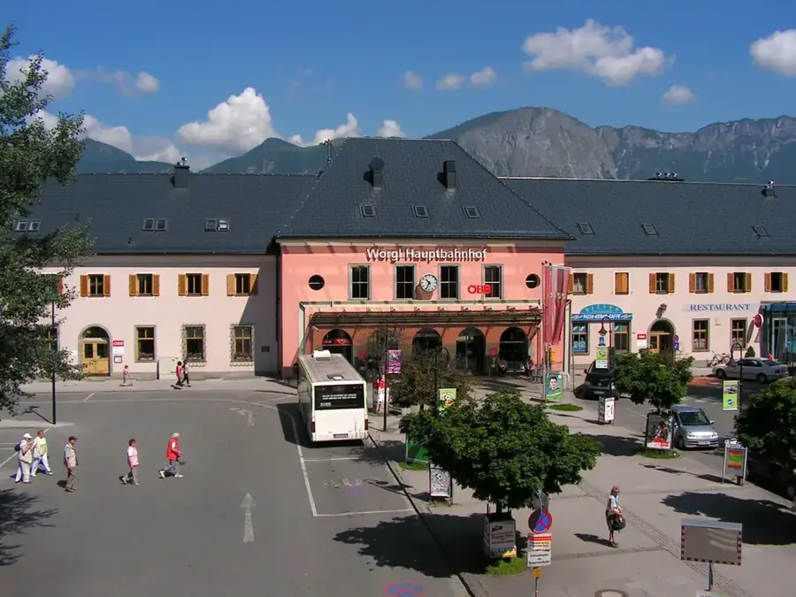
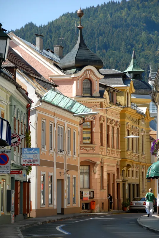
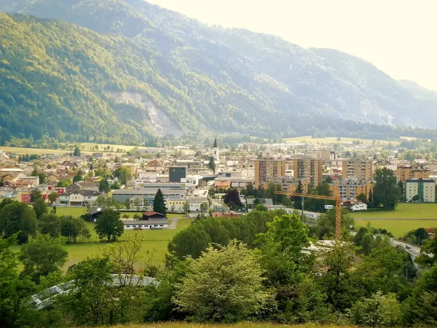
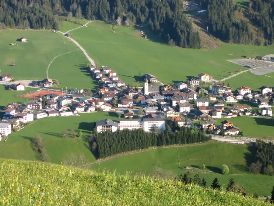
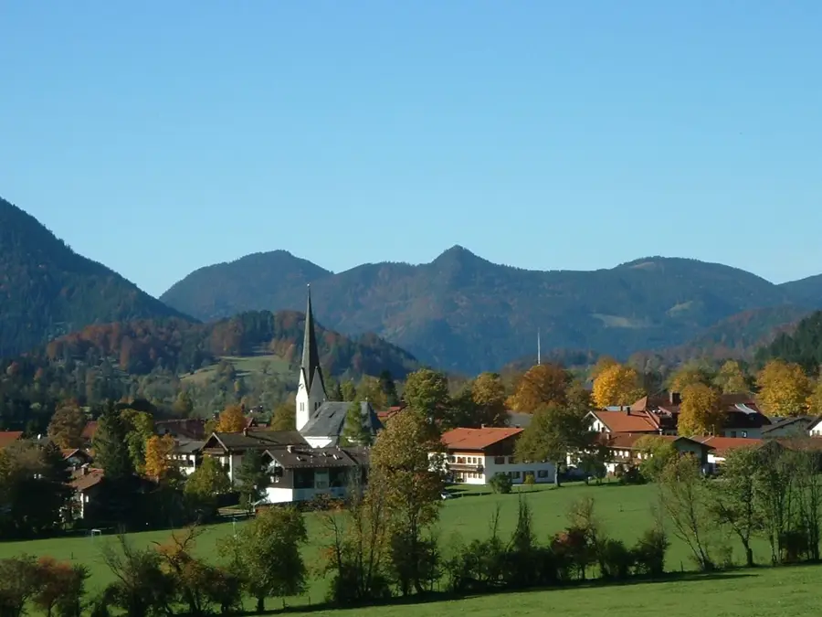
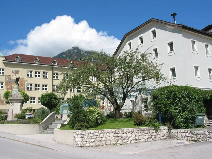
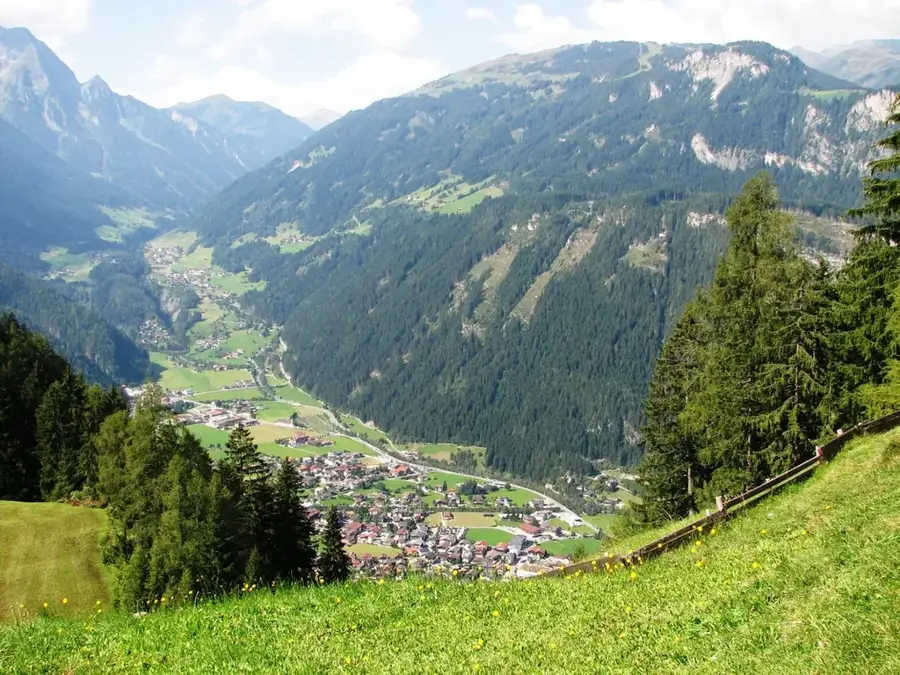
The Woergl Logistics Center is one of the most significant transport hubs in western Austria and a central factor for the economy of the Tyrolean Unterland. Strategically located at the intersection of the A12 Inntal Motorway and the Western Railway, Woergl functions as a turntable for freight traffic between Germany, Italy, and eastern Austria. The town achieved particular fame for its pioneering role in combined transport (ROLA), where trucks are loaded onto trains to make Alpine crossings more environmentally friendly. The economic structure is shaped by major logistics and trade companies that value its optimal accessibility. Historically, Woergl evolved from a rural village into a modern service and commercial center, with railway construction in the 19th century providing the decisive impetus. Today, Woergl is Tyrol's second-largest shopping destination and a vital educational and administrative site for the entire Kufstein region. The town is also globally known for its historical 'free money' experiment in the 1930s.
- Location: Hohe Tauern National Park, Austria
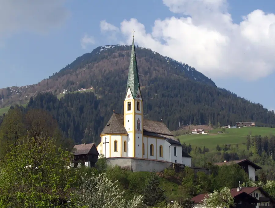
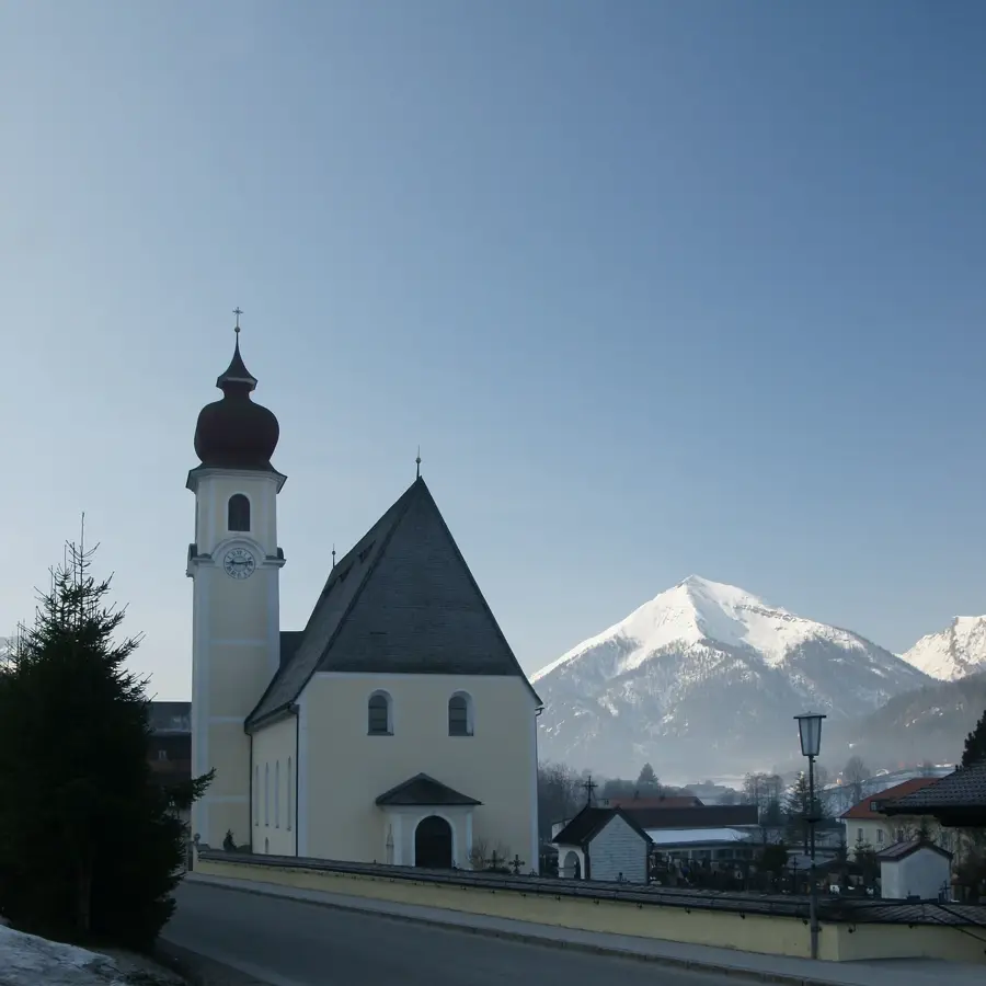
- Top sights: Taufkapelle · Heimatmuseum · Stadtpfarrkirche Hl. Laurentius
- Nearby: Söll (10 km)
Best time to visit & climate
The most pleasant time to visit is Jun–Aug.
| Jan | Feb | Mar | Apr | May | Jun | Jul | Aug | Sep | Oct | Nov | Dec | |
|---|---|---|---|---|---|---|---|---|---|---|---|---|
| Avg °C | -4 | -4 | 1 | 6 | 10 | 14 | 16 | 15 | 11 | 7 | 2 | -3 |
| Rain mm | 83 | 66 | 81 | 83 | 145 | 170 | 173 | 179 | 119 | 93 | 71 | 73 |
📋 Practical info
Geography
Facts
- Woergl was granted city status in the year 1951.
- Woergl railway station is a major hub for the Inntal line and the Gisela line.
- The town is a center for the 'Rolling Highway' (ROLA) to relieve highway congestion.
- In 1932, during the Great Depression, Woergl conducted a successful 'free money' experiment.
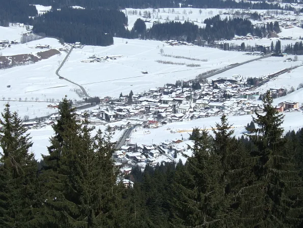
- Woergl is located at the confluence of the Inn and Brixentaler Ache rivers.
- The town is situated at an elevation of approximately 511 meters in the Inn Valley.
Explore nearby
Notable places around
Route planner — Car & Motorhome
Where do you start? We build the route here, with stops and country notes along the way.
© OpenStreetMap contributors · OpenRouteService
Sights in the town Woergl Logistics Center (8)
Heimatmuseum🏛 museum
Museum in Wörgl about the history and culture of the region, with everyday objects.
Galerie am Polylog
Gallery in Wörgl with changing exhibitions of contemporary art.
Brachkapelle
Chapel in Wildschönau, Tyrol, built in the 18th century, with a Baroque altar.
Filz
Nature reserve in Tyrol, bog and wetland area with rare flora and fauna.
Wörgler Innbrücke
Bridge of the Inntal motorway in Tyrol, spanning the Inn river near Wörgl.
Schöne Aussicht
Viewpoint in Wörgl with panoramic views of the Inn valley and surrounding mountains.
Sights nearby
Frequently asked questions
What significance does Wörgl have for logistics in Tyrol?
What is the Wörgl terminal?
Can you visit the logistics center?
Which major freight forwarders are based in Wörgl?
What is interesting for tourists near the logistics center?
Woergl Logistics Center: where is it located?
Woergl Logistics Center: what is there to see?
Woergl Logistics Center: when is the best time to visit?
Woergl Logistics Center: why is it worth visiting?

Nearby cities

History & landmarks
Nature
More places