Plizio Visual Lab
Cerro Campanario
Weather…
Water temperature…
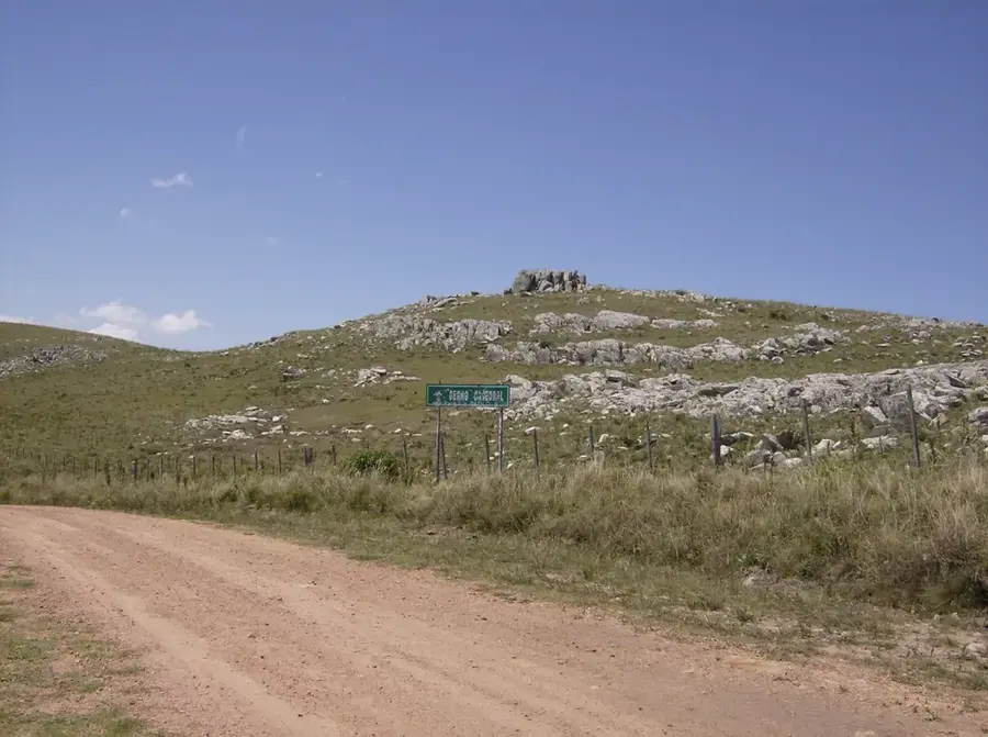
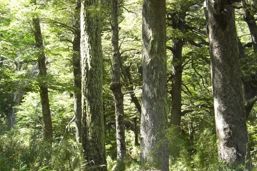
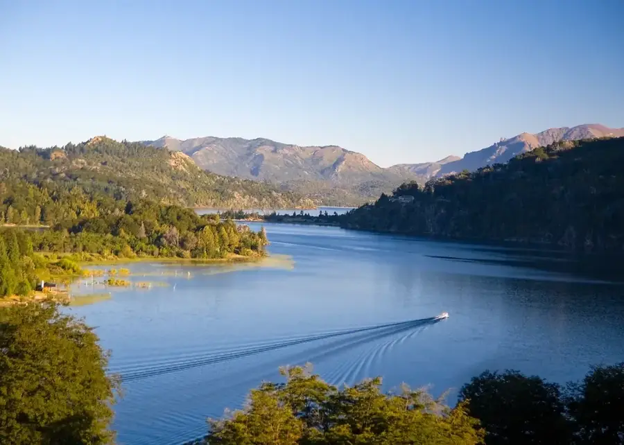
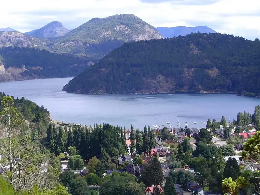
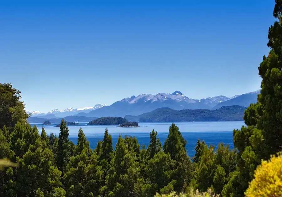
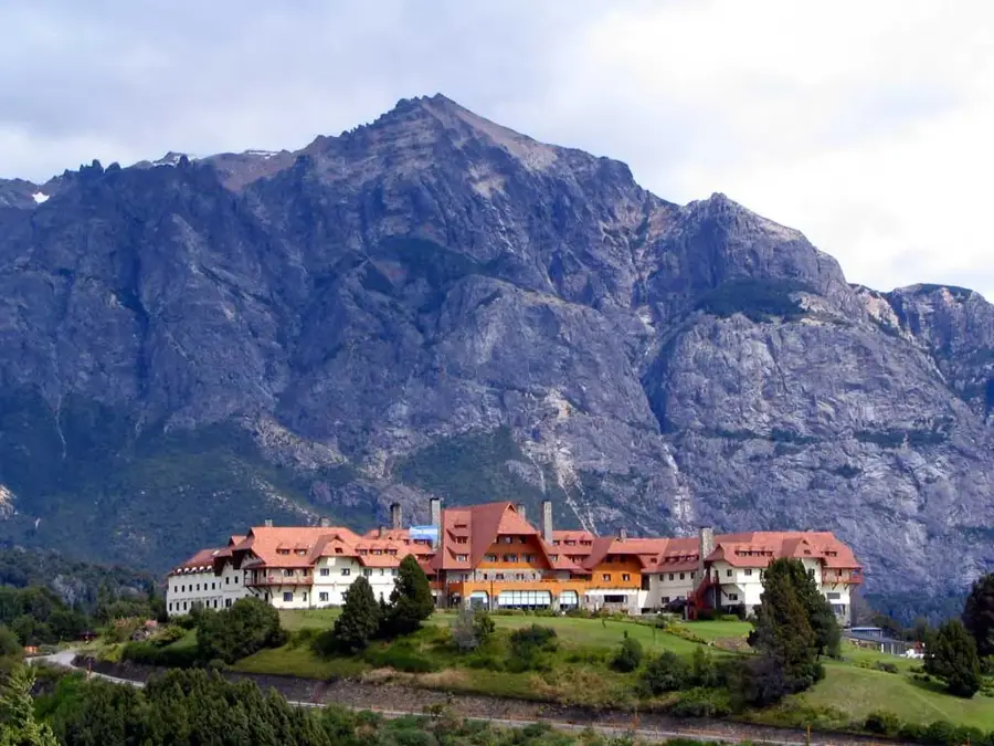
Cerro Campanario, located near the city of Bariloche, is renowned for offering what National Geographic classified as one of the seven most beautiful panoramic views in the world. Although it has a modest height (1,050 m), its strategic location on the shore of Lake Nahuel Huapi allows for a 360-degree view of the lake region. From its summit, one can see lakes Nahuel Huapi and Moreno, the Llao Llao peninsula, and imposing mountain peaks like Catedral and Tronador. Access is quick via a chairlift or a short but intense hike through a forest of lengas and coihues. It is a mandatory stop for anyone visiting Patagonia, offering an overwhelming perspective on how glaciers have shaped this fairytale landscape.
- Location: Argentina
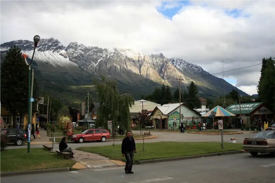
- Top sights: Ruins of "Proyecto Huemul" · Capilla San Eduardo · Cerro Campanario
- Nearby: Villa Traful (16 km)
Best time to visit & climate
The most pleasant time to visit is Jan, Feb, Dec.
| Jan | Feb | Mar | Apr | May | Jun | Jul | Aug | Sep | Oct | Nov | Dec | |
|---|---|---|---|---|---|---|---|---|---|---|---|---|
| Avg °C | 13 | 13 | 10 | 6 | 3 | 0 | -1 | 1 | 3 | 5 | 8 | 11 |
| Rain mm | 33 | 24 | 33 | 59 | 120 | 156 | 127 | 122 | 62 | 52 | 38 | 30 |
📋 Practical info
Geography
Facts
- The summit is at an altitude of 1,049 meters above sea level.
- Its panoramic view is recognized worldwide for its beauty.
- The chairlift takes passengers up in about 7 minutes.
- Located at kilometer 17.5 of the famous 'Circuito Chico'.
- Features a panoramic confectionery at the top with spectacular views.
- Includes views of Laguna El Trébol and the arms of Lake Nahuel Huapi.
- It is one of the most visited tourist attractions in the Bariloche region.
Explore nearby
Notable places around
Route planner — Car & Motorhome
Where do you start? We build the route here, with stops and country notes along the way.
© OpenStreetMap contributors · OpenRouteService
Sights in the town Cerro Campanario (12)
Sights nearby
Frequently asked questions
How to get to the top?
Is the view worth it?
What is the best time of day?
Is it suitable for seniors?
Is there a cafe there?
Cerro Campanario: where is it located?
Cerro Campanario: what is there to see?
Cerro Campanario: when is the best time to visit?
Cerro Campanario: why is it worth visiting?

Nearby cities
Nature
More places