Plizio Visual Lab
Coma Pedrosa Base
ℹ️Practical info — Coma Pedrosa Base
▾
🌤 Weather — 5 days
📍 Nearby
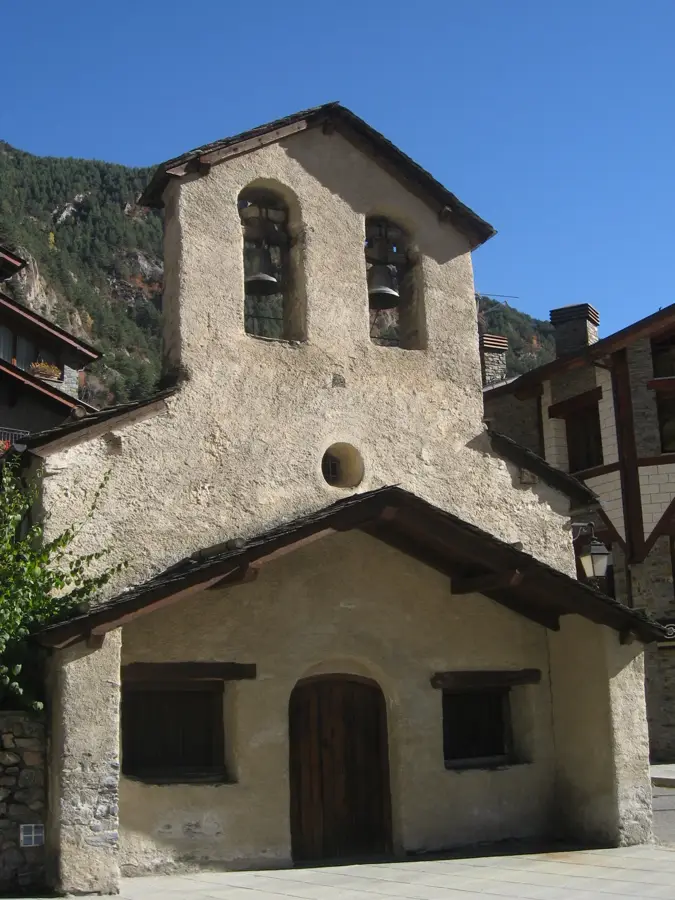
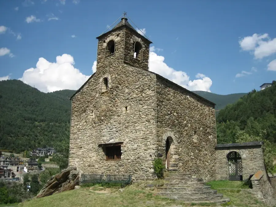
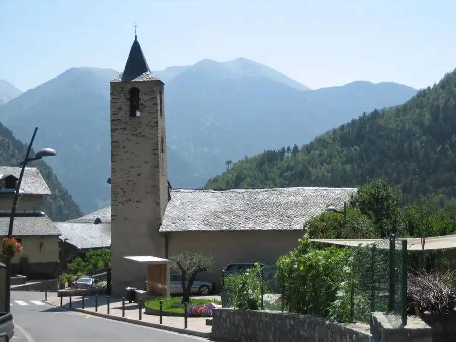
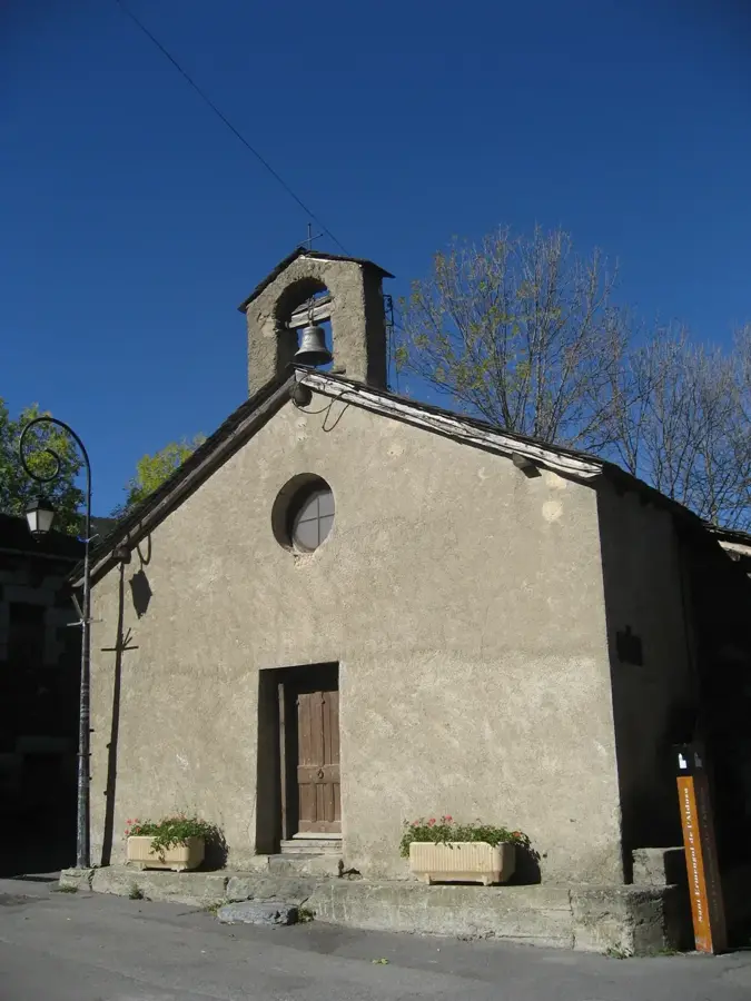
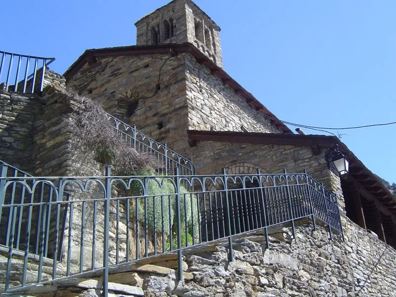
Sights nearby
💡 Tips
- Start your hike to the summit very early in the morning to ensure you have enough daylight for the round trip.
- Check in at the Arinsal tourist office for the latest trail conditions before departing.
- Parking at the trailhead is limited, so arrive early or use public transport to Arinsal.
- Proper mountain hiking boots and layers are mandatory, as the weather near the peak is unpredictable.
🍽 Food
Stop at the mountain refuge partway up for a hearty bowl of soup or a hot coffee.
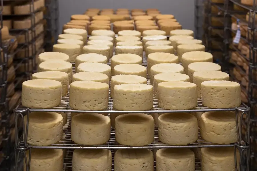
After a grueling hike, reward yourself with an Argentine or local steak in one of Arinsal's restaurants.
Look for this sweet bread dessert in local Arinsal taverns to replenish your calories.
🛍 Shopping · 🧘 Quiet spots
Buy nuts, chocolate, and dried fruit from the small supermarkets in Arinsal before starting.
Arinsal has several sports shops if you forgot trekking poles or need extra layers.
A beautiful, peaceful mountain lake near the refuge where you can sit and reflect.
The lower part of the trail goes through dense pine forests that are incredibly serene in the early morning.
Water temperature…
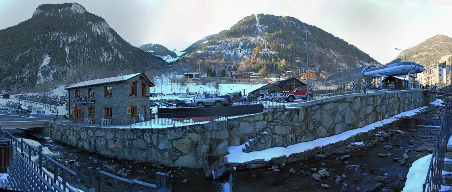
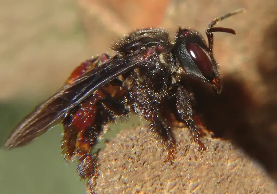
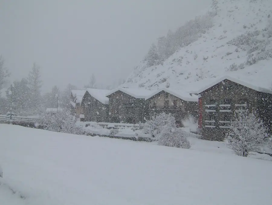
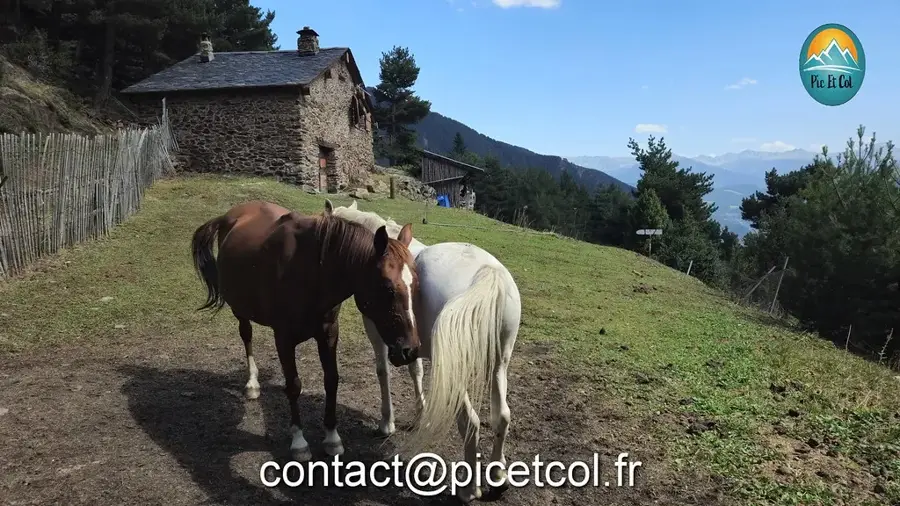
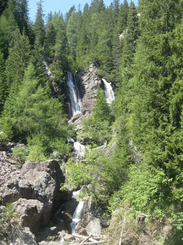
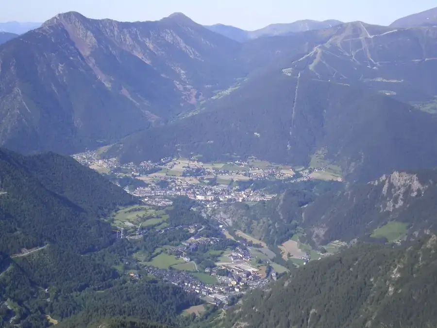
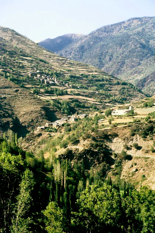
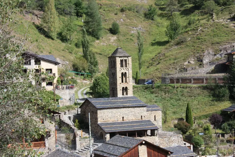
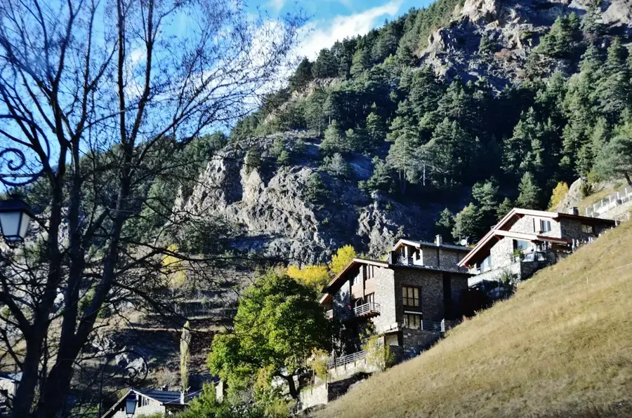
Coma Pedrosa Base is the primary starting point for expeditions to the highest peak in the Principality of Andorra, the Pic de Comapedrosa (2,942 m). Located at the end of the Arinsal valley in the parish of La Massana, the base sits at an altitude of approximately 1,550 meters. This area serves as a base camp for hikers and mountaineers exploring the national park of the same name, famous for its pristine glacial lakes and diverse alpine flora. Historically, this region was a strategic crossing point for shepherds and smugglers traveling across the border into Spain. Today, it features modern tourist facilities, parking areas, and information points for mountain sports. The landscape is dominated by rushing mountain streams like the Ribera de Comapedrosa and steep granite cliffs. In winter, the base transforms into a key gathering spot for ski touring and snowshoeing enthusiasts. Its proximity to the Arinsal ski resort provides excellent infrastructure and easy access. The protection of the national park's ecosystem is coordinated from here, ensuring the preservation of chamois and golden eagle populations. A well-marked trail network leads from the base to various mountain huts.
- Location: Andorra
- Top sights: Parc Natural Comunal de les Valls del Comapedrosa · Pic de Comapedrosa · Pic de Baiau
- Nearby: Puiol del Piu (4 km)
- Population: ~1.419
Best time to visit & climate
The most pleasant time to visit is Jun–Aug.
| Jan | Feb | Mar | Apr | May | Jun | Jul | Aug | Sep | Oct | Nov | Dec | |
|---|---|---|---|---|---|---|---|---|---|---|---|---|
| Avg °C | -2 | -2 | 1 | 5 | 9 | 14 | 16 | 16 | 12 | 8 | 2 | -1 |
| Rain mm | 60 | 48 | 57 | 71 | 77 | 52 | 46 | 47 | 50 | 64 | 70 | 49 |
Geography
Facts
- Primary starting point for Pic de Comapedrosa (2,942 m).
- Located in the Arinsal Valley within La Massana parish.
- The base altitude is approximately 1,550 meters.
- Hub for the Comapedrosa Valleys Communal Natural Park.
- Key junction on the GR-11 trans-Pyrenean hiking trail.
- Site of mountain rescue facilities and tourist info centers.
Explore nearby
Notable places around
Route planner — Car & Motorhome
Where do you start? We build the route here, with stops and country notes along the way.
© OpenStreetMap contributors · OpenRouteService
Sights in the town Coma Pedrosa Base (6)
Frequently asked questions
Where is the Comapedrosa base?
How high is Comapedrosa?
Is there an information center?
Is the hike difficult?
When is there still snow at the top?
Coma Pedrosa Base: where is it located?
Coma Pedrosa Base: what is there to see?
Coma Pedrosa Base: when is the best time to visit?
Coma Pedrosa Base: why is it worth visiting?

Nearby cities


More places